2000s (21st Century) Maps of Clark County, Wisconsin
Explore 177 historic maps of Clark County from the 2000s (21st Century). These maps offer a rare glimpse into what life looked like during the 2000s — showing old roads, neighborhoods, homes, and landmarks that have changed or disappeared over time.
Whether you're researching your family's past, planning a metal detecting trip, or studying how Clark County's landscape evolved across the 2000s, these high-resolution maps are a powerful tool for exploring the history of this region.
- Focus on a specific era: All maps on this page are from the 2000s, giving you a focused view of this time period.
- See what’s changed: Compare century-old streets, trails, and buildings to today's modern landscape using overlays and satellite layers.
- Research with precision: Use these maps for genealogy, historical research, land use analysis, or educational projects.
- View, download, or print: Maps are fully viewable online in high resolution, and can be downloaded or printed for your own records.
Start exploring Clark County's history through authentic maps from the 2000s. This is your window into the past.
Clark County, WI maps
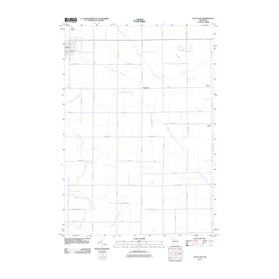
(177)- 2005 Map of Lublin SE, 2006 Print
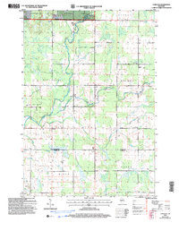 2005 Lublin SE2006 Print · USGSTaylor and Clark Counties at the start of the new millennium reveal a landscape of managed forests and established township life. Researchers can locate family landmarks like St Marys Ch, the Poplar Grove Sch, and several Gravel Pits along the Black River.
 - 2005 Map of Lublin, 2006 Print
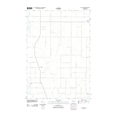
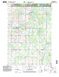 2005 Lublin2006 Print · USGSTaylor and Clark counties meet here in the early 2000s, where the national forest gives way to rural townships and river headwaters. Researchers can trace local heritage through sites like St Marys Cem, Lublin, and the Diamond Lake Recreation Area.
 - 2010 Map of Lindsey, 2010 Print
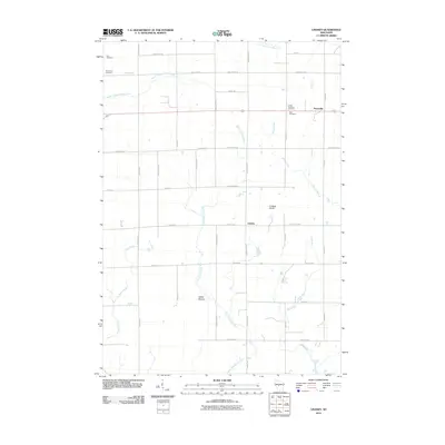 2010 Lindsey2010 Print · USGSCovers Clark County, including Lynn, Sherwood, and other nearby areas
 - 2010 Map of Lombard, 2010 Print
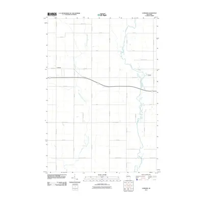 2010 Lombard2010 Print · USGSCovers Clark County, including Owen, Reseburg, and other nearby areas
 - 2010 Map of Curtiss, 2010 Print
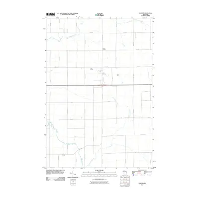 2010 Curtiss2010 Print · USGSCovers Clark County, including Curtiss, Atwood, and other nearby areas
 - 2010 Map of City Point NE, 2010 Print
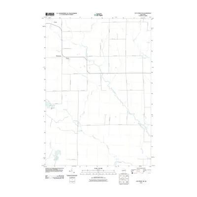 2010 City Point NE2010 Print · USGSCovers Clark County, including Sherwood, City Point, and other nearby areas
 - 2010 Map of Horse Creek, 2010 Print
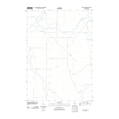 2010 Horse Creek2010 Print · USGSCovers Clark County, including Bridge Creek, Fairchild, and other nearby areas
 - 2010 Map of Willard, 2010 Print
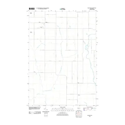 2010 Willard2010 Print · USGSCovers Clark County, including Seif, Willard, and other nearby areas
 - 2010 Map of Merrillan, 2010 Print
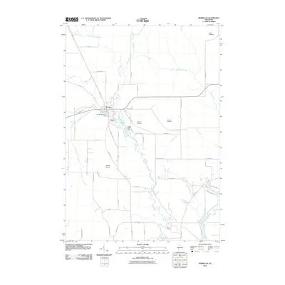 2010 Merrillan2010 Print · USGSCovers Clark County, including Merrillan, Dewhurst, and other nearby areas
 - 2010 Map of Hatfield NE, 2010 Print
 2010 Hatfield NE2010 Print · USGSCovers Clark County, including City Point, Levis, and other nearby areas
 - 2010 Map of Stanley, 2010 Print
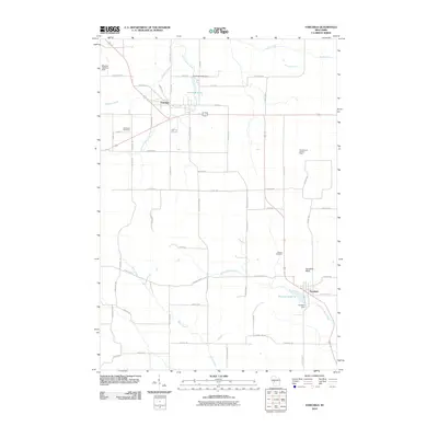
 2010 Stanley2010 Print · USGSCovers Clark County, including Stanley, Edson, and other nearby areas
 - 2010 Map of Hatfield, 2010 Print
 2010 Hatfield2010 Print · USGSCovers Clark County, including Hatfield, Levis, and other nearby areas
 - 2010 Map of Abbotsford, 2010 Print
 2010 Abbotsford2010 Print · USGSCovers Clark County, including Abbotsford, Colby, and other nearby areas
 - 2010 Map of Greenwood, 2010 Print
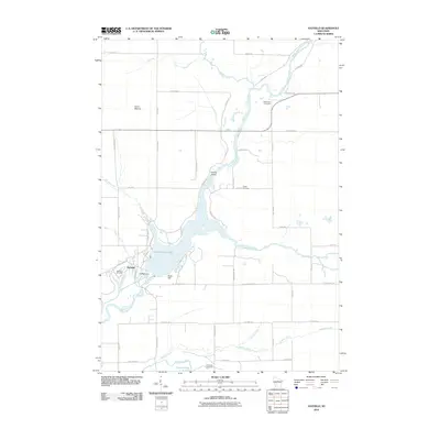
 2010 Greenwood2010 Print · USGSCovers Clark County, including Greenwood, Longwood, and other nearby areas
 - 2010 Map of Spencer North, 2010 Print
 2010 Spencer North2010 Print · USGSCovers Clark County, including Spencer, Unity, and other nearby areas
 - 2010 Map of Wildcat Mound, 2010 Print
 2010 Wildcat Mound2010 Print · USGSCovers Clark County, including Mentor, Dewhurst, and other nearby areas
 - 2010 Map of Loyal East, 2010 Print
 2010 Loyal East2010 Print · USGSCovers Clark County, including Loyal, Fremont, and other nearby areas
 - 2010 Map of Loyal West, 2010 Print
 2010 Loyal West2010 Print · USGSCovers Clark County, including Loyal, Christie, and other nearby areas
 - 2010 Map of Spencer South, 2010 Print
 2010 Spencer South2010 Print · USGSCovers Clark County, including Spencer, Chili, and other nearby areas
 - 2010 Map of Owen, 2010 Print
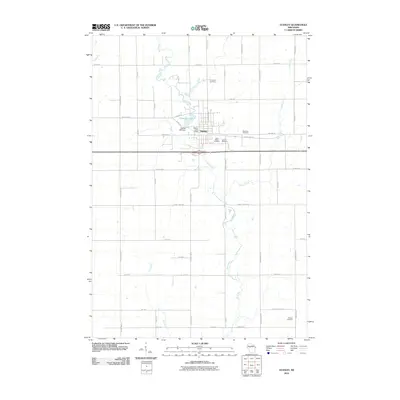
 2010 Owen2010 Print · USGSCovers Clark County, including Owen, Longwood, and other nearby areas
 - 2010 Map of Granton, 2010 Print
 2010 Granton2010 Print · USGSCovers Clark County, including Lynn, Granton, and other nearby areas
 - 2010 Map of Fairchild, 2010 Print
 2010 Fairchild2010 Print · USGSCovers Clark County, including Fairchild, Mentor, and other nearby areas
 - 2010 Map of Mead Lake West, 2010 Print
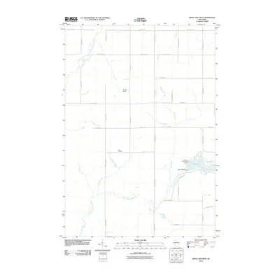 2010 Mead Lake West2010 Print · USGSCovers Clark County, including Reseburg, Worden, and other nearby areas
 - 2010 Map of Neillsville, 2010 Print
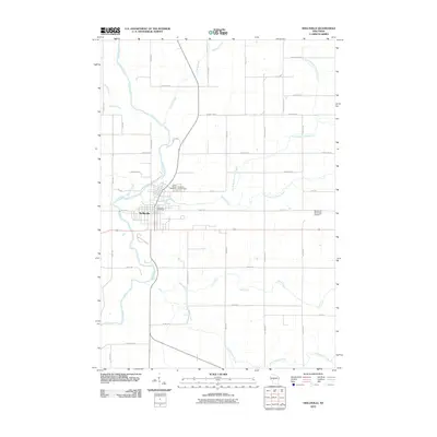 2010 Neillsville2010 Print · USGSCovers Clark County, including Neillsville, Levis, and other nearby areas
 - 2010 Map of Simes Creek, 2010 Print
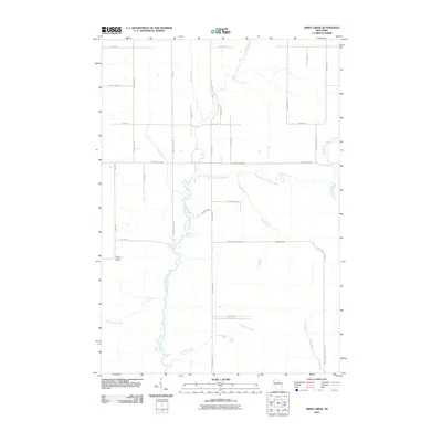 2010 Simes Creek2010 Print · USGSCovers Clark County, including Edson, Wilson, and other nearby areas
Showing maps 1-25 of 177
Top cities of Clark County
- Neillsville historical maps
- Thorp historical maps
- Loyal historical maps
- Greenwood historical maps
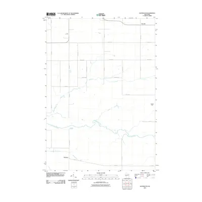
- Owen historical maps
- Dorchester historical maps
See more
Frequently asked questions
- What are the different types of historical maps available for Clark County?
- What is the oldest map of Clark County?
- Where can I purchase historical maps of Clark County for my home or office?
- Where can I download high-res historical maps of Clark County?
- Are there historical topographic maps available for Clark County?
- Is there historical aerial imagery available for Clark County?
- Where are historical maps of Clark County sourced from?