2020s Maps of Clark County, Wisconsin
Explore 35 historic maps of Clark County from the 2020s. These maps offer a rare glimpse into what life looked like during the 2020s — showing old roads, neighborhoods, homes, and landmarks that have changed or disappeared over time.
Whether you're researching your family's past, planning a metal detecting trip, or studying how Clark County's landscape evolved across the 2020s, these high-resolution maps are a powerful tool for exploring the history of this region.
- Focus on a specific era: All maps on this page are from the 2020s, giving you a focused view of this time period.
- See what’s changed: Compare century-old streets, trails, and buildings to today's modern landscape using overlays and satellite layers.
- Research with precision: Use these maps for genealogy, historical research, land use analysis, or educational projects.
- View, download, or print: Maps are fully viewable online in high resolution, and can be downloaded or printed for your own records.
Start exploring Clark County's history through authentic maps from the 2020s. This is your window into the past.
Clark County, WI maps
(35)- 2022 Map of Mead Lake East, 2022 Print
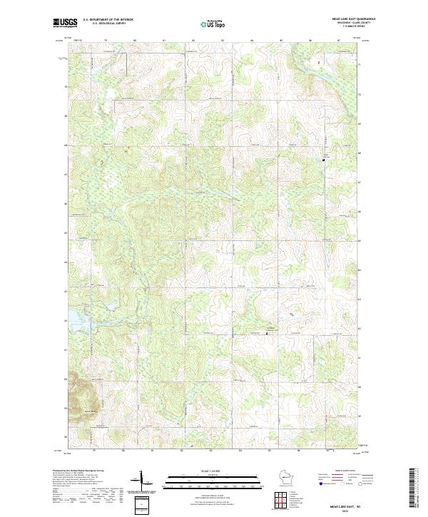 2022 Mead Lake East2022 Print · USGSClark County at the start of the 2020s remains a landscape of river-fed valleys and a disciplined rural road grid. Trace local ancestry at Forest Hill Cem or explore the banks of Mead Lake and the Popple River.
 - 2022 Map of Mead Lake West, 2022 Print
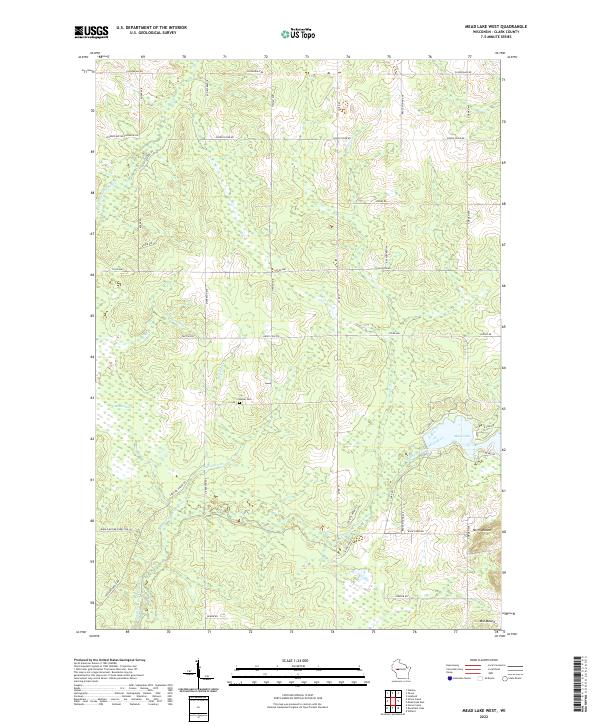 2022 Mead Lake West2022 Print · USGSThe Clark County backcountry comes alive in this modern survey of the forests and waterways surrounding Mead Lake. Genealogists and local historians can locate the Butler Cem and trace the winding paths of Robinson Cr and the South Fork Eau Claire River.
 - 2022 Map of Lindsey, 2022 Print
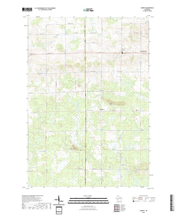 2022 Lindsey2022 Print · USGSWood County agricultural and forest lands are captured in the early 2020s, centered on the communities of Lindsey and Nasonville. Researchers can trace family history and landmarks at Rock Cem, Lindsey Bluffs, and the distinct Epsey Mound.
 - 2022 Map of Simes Creek, 2022 Print
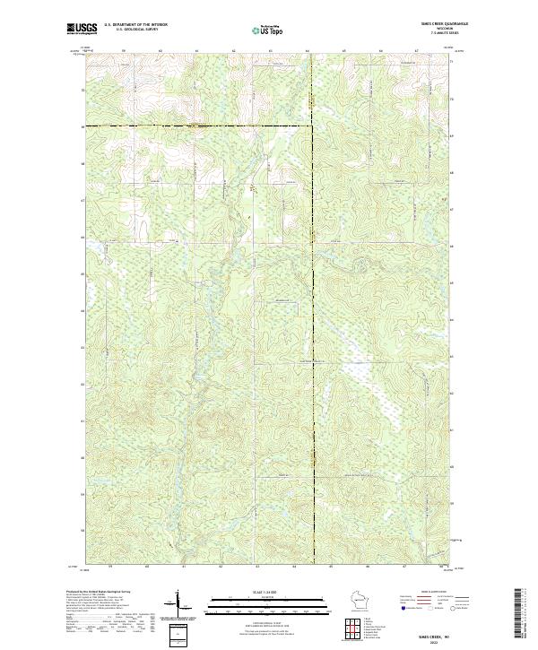 2022 Simes Creek2022 Print · USGSWisconsin's river-fed wetlands and forest lands are mapped here in the modern era where three counties meet. Genealogists and outdoorsmen can trace the routes around Hamilton Falls, the depths of Blue Swamp, and the banks of Simes Creek.
 - 2022 Map of Owen, 2022 Print
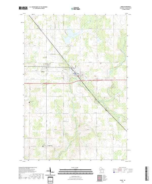 2022 Owen2022 Print · USGSWisconsin's Clark County landscape is captured here in the early twenty-first century as the communities of Owen and Withee continue their long history. Researchers can trace rural family routes and find local burial sites at Nazareth Cem or Longwood Cem.
 - 2022 Map of Loyal East, 2022 Print
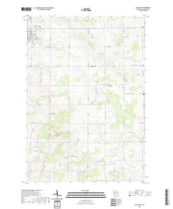 2022 Loyal East2022 Print · USGSClark County dairy country is captured in the early 2020s, showing a landscape shaped by rural tradition and systematic land division. Researchers can trace family history through sites like Loyal City Cem or the rural Spokeville crossroads.
 - 2022 Map of Willard, 2022 Print
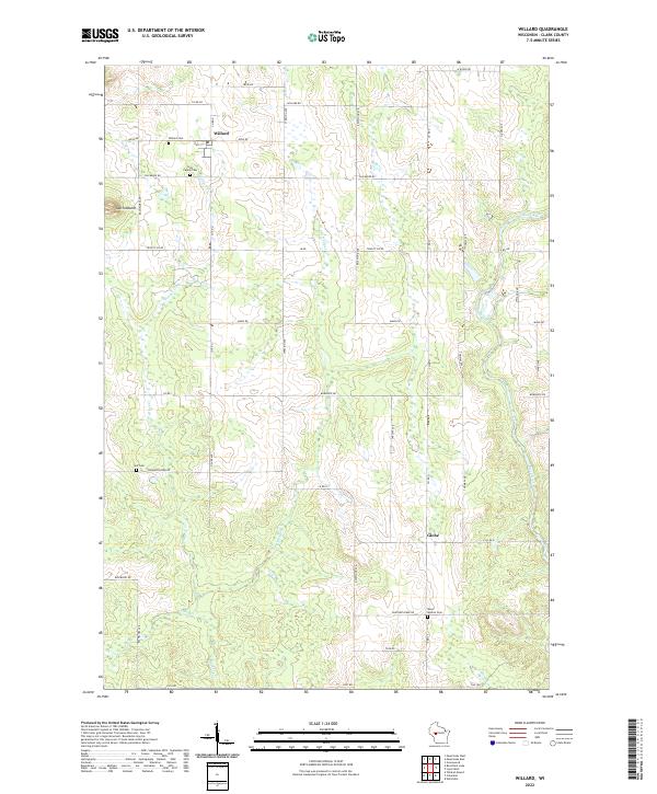 2022 Willard2022 Print · USGSWillard and the surrounding central Wisconsin farm country are captured here in the early twenty-first century. Genealogists and local historians can trace family roots through sites like Holy Family Cem, the community of Globe, and landmarks like South Mound.
 - 2022 Map of Wildcat Mound, 2022 Print
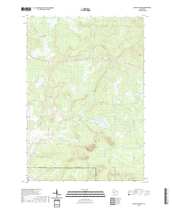 2022 Wildcat Mound2022 Print · USGSSouthern Clark County is shown in detail during the early 2020s, centered on the prominent rise of Wildcat Mound. Researchers can trace rural family roots along Hickman Rd, Abbott Ranch Rd, and the banks of Fivemile Cr.
 - 2022 Map of Horse Creek, 2022 Print
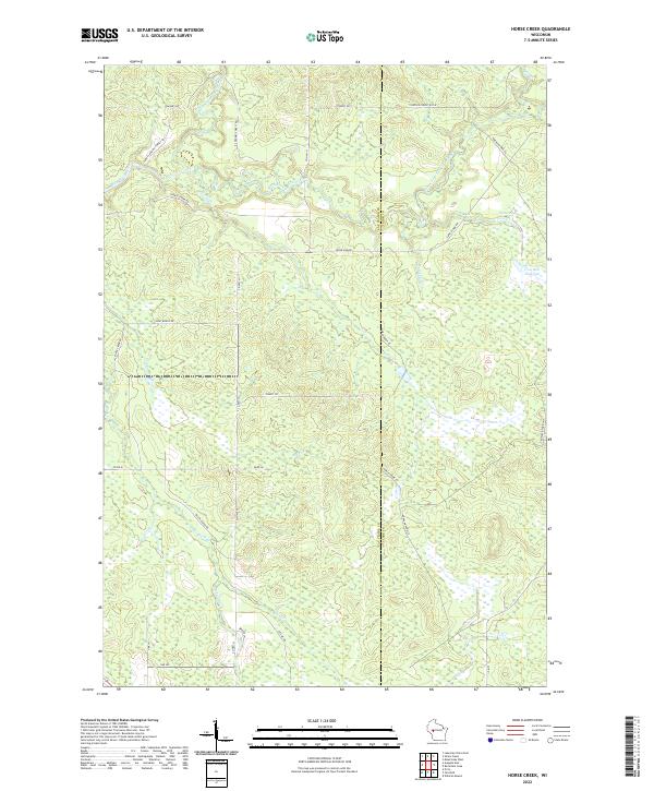 2022 Horse Creek2022 Print · USGSThe confluence of the North and South Forks of the Eau Claire River defines this wooded borderland between Eau Claire and Clark Counties in the 2020s. Trace local routes and waterways like Iron Run Flowage, Horse Cr, and Canoe Landing Forest Rd.
 - 2022 Map of Riplinger, 2022 Print
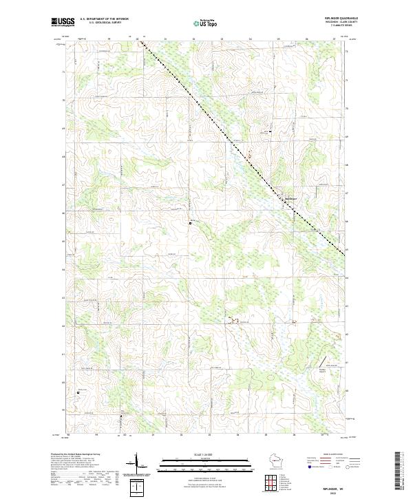 2022 Riplinger2022 Print · USGSClark County dairy country is captured here in the early 2020s, showing a landscape of family farms and wetland drainages. Genealogists can locate several local burial sites such as Trinity Cem and Pine Grove Cem near the community of Riplinger.
 - 2022 Map of City Point NE, 2022 Print
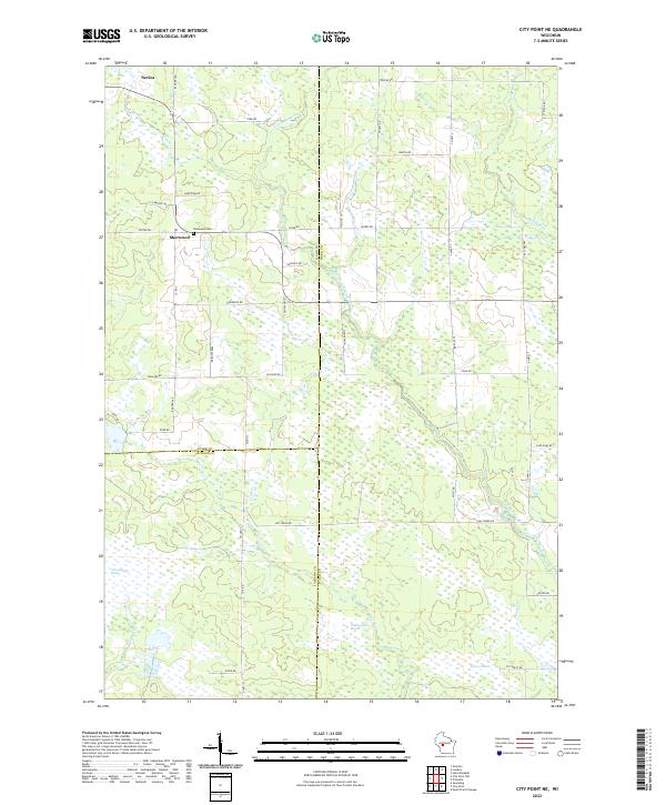 2022 City Point NE2022 Print · USGSWisconsin's marshlands at the junction of Wood, Clark, and Jackson counties are captured in this modern survey. Genealogists and local historians can trace family locations near the Sherwood Cem and the small settlements of Sherwood and Nevins.
 - 2022 Map of Hatfield NE, 2022 Print
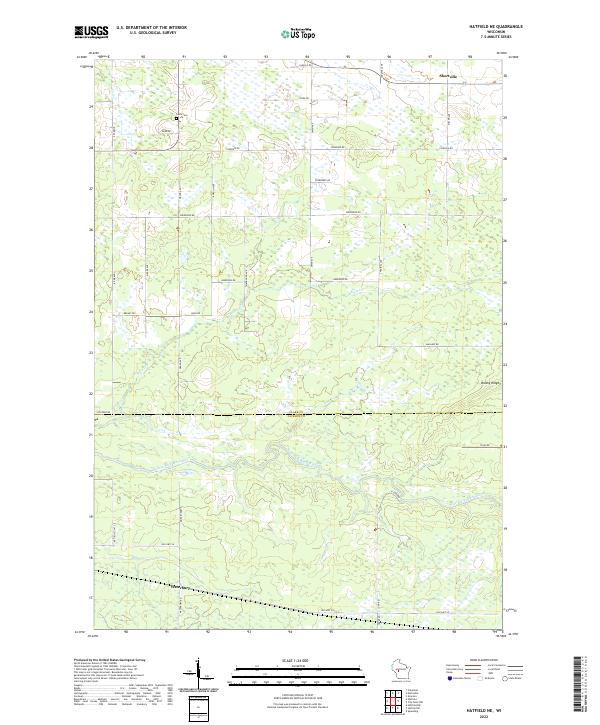 2022 Hatfield NE2022 Print · USGSThe Clark and Jackson County borderlands are documented here in the early twenty-first century, centered on the East Fork Black River. Genealogists and local historians can locate Shortville, the Levis Cem, and the crossing of Old Hwy 54 near Waterbury.
 - 2022 Map of Stanley, 2022 Print
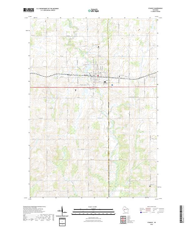 2022 Stanley2022 Print · USGSThe dairy lands and river valleys of Central Wisconsin are documented here in recent years, showing the growth of Stanley and its outlying farms. Researchers can trace family history through several burial grounds including Evergreen Cem and the Worden Cem near the Wolf River.
 - 2022 Map of Thorp, 2022 Print
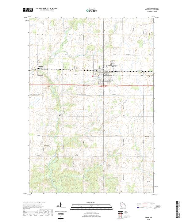 2022 Thorp2022 Print · USGSThorp and the rural townships of Clark County appear in this recent survey, capturing the agricultural character of central Wisconsin. Genealogists can trace family-named burial sites like Germanian Cem and Norwegian Cem or locate the community at Reseburg.
 - 2022 Map of Hatfield, 2022 Print
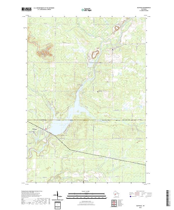 2022 Hatfield2022 Print · USGSThe confluence of the Black River and its East Fork at Hatfield defines this recent survey of the Wisconsin timberlands. Researchers can trace local lineage at the Winnebago Indian Cem and Dells Dam Cem, or explore the trail systems around Levis Mound.
 - 2022 Map of Granton, 2022 Print
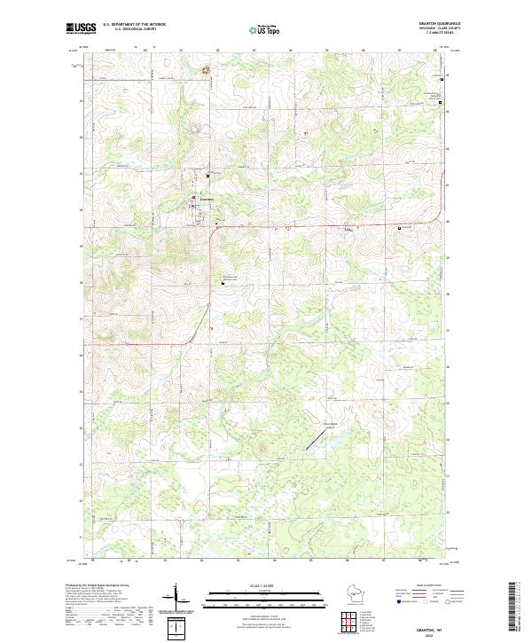 2022 Granton2022 Print · USGSGranton and the surrounding Clark County countryside appear in this contemporary survey of central Wisconsin. Researchers can trace local genealogy at Windfall Cem, Lynn Cem, or Yolo Cem and locate rural landmarks like Cunningham Airport.
 - 2022 Map of Rock Dam Lake, 2022 Print
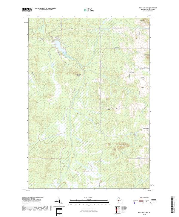 2022 Rock Dam Lake2022 Print · USGSContemporary Clark County geography reveals a landscape of water and woods during the early twenty-first century. Genealogists and local historians can trace the rural settlement of Tioga and the topography surrounding Rock Dam Lake, including landmarks like Bold Peak and Mid Mound.
 - 2022 Map of Loyal West, 2022 Print
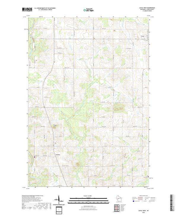 2022 Loyal West2022 Print · USGSClark County dairy country and small rural crossroads appear here in the early twenty-first century. Genealogists and local historians can locate family burial sites at East Side Cem and York Center Cem or trace the early settlement at Christie and Loyal.
 - 2022 Map of Greenwood, 2022 Print
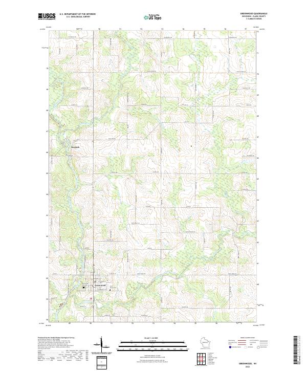 2022 Greenwood2022 Print · USGSGreenwood and the surrounding Clark County townships are shown here as they appear today, centering on the Black River valley. Genealogists and local historians can trace burial sites at Greenwood City Cem or Saint Marys Cem, and locate the settlement of Hemlock.
 - 2022 Map of Abbotsford, 2022 Print
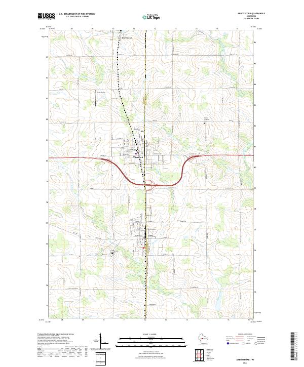 2022 Abbotsford2022 Print · USGSWisconsin's central dairy country is shown in detail during the early 2020s, highlighting the border between Clark and Marathon counties. Genealogists and researchers can locate Colby Cemetery, Christ Lutheran Cemetery, and the residential grids of Abbotsford and Colby.
 - 2022 Map of Columbia, 2022 Print
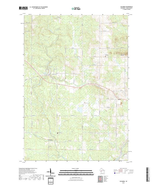 2022 Columbia2022 Print · USGSClark County's rural landscape is captured here in the early twenty-first century, showing the enduring structure of its farming communities and watercourses. Genealogists and local historians can locate Columbia Cem, the settlement of Sidney, and natural landmarks like Snyder Lake.
 - 2022 Map of Curtiss, 2022 Print
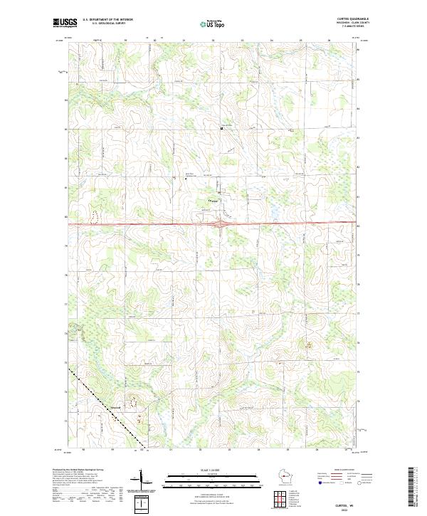 2022 Curtiss2022 Print · USGSThis rural Clark County landscape is centered on the village of Curtiss and the nearby crossroads of Atwood during the early 2020s. Genealogists and local historians can locate early burial grounds at Pine Hill Cem or trace the several branches of the South Fork Popple River.
 - 2022 Map of Fairchild, 2022 Print
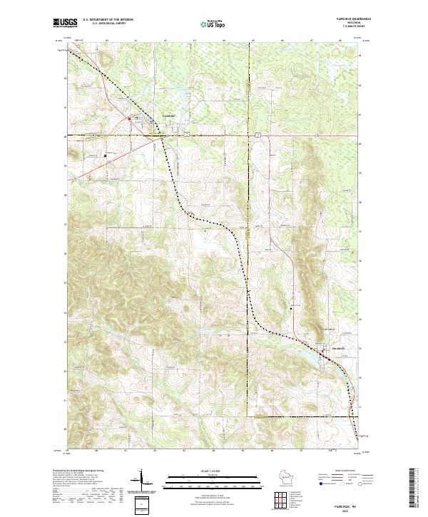 2022 Fairchild2022 Print · USGSModern-day Fairchild and Humbird appear at the intersection of three Wisconsin counties in this recent survey. Researchers can trace local landmarks like Cleveland Cem, Humbird Bluff, and the Buffalo River State Trail.
 - 2022 Map of City Point NW, 2022 Print
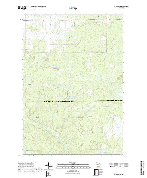 2022 City Point NW2022 Print · USGSCentral Wisconsin's wetland and river systems are shown in detail during the early 2020s. Researchers can trace the watercourse of the East Fork Black River and locate the crossroads settlement of Pray near Brushy Ridge.
 - 2022 Map of Merrillan, 2022 Print
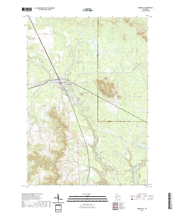 2022 Merrillan2022 Print · USGSMerrillan and the surrounding townships of Jackson and Clark counties are shown here as they appeared in the early 2020s. Genealogists can locate Oakwood Cem and family landmarks near Trow Mounds or the shores of Oakwood Lake.
Showing maps 1-25 of 35
Top cities of Clark County
- Neillsville historical maps
- Thorp historical maps
- Loyal historical maps
- Greenwood historical maps
- Owen historical maps
- Dorchester historical maps
See more
Frequently asked questions
- What are the different types of historical maps available for Clark County?
- What is the oldest map of Clark County?
- Where can I purchase historical maps of Clark County for my home or office?
- Where can I download high-res historical maps of Clark County?
- Are there historical topographic maps available for Clark County?
- Is there historical aerial imagery available for Clark County?
- Where are historical maps of Clark County sourced from?