2010s Maps of Clark County, Wisconsin
Explore 140 historic maps of Clark County from the 2010s. These maps offer a rare glimpse into what life looked like during the 2010s — showing old roads, neighborhoods, homes, and landmarks that have changed or disappeared over time.
Whether you're researching your family's past, planning a metal detecting trip, or studying how Clark County's landscape evolved across the 2010s, these high-resolution maps are a powerful tool for exploring the history of this region.
- Focus on a specific era: All maps on this page are from the 2010s, giving you a focused view of this time period.
- See what’s changed: Compare century-old streets, trails, and buildings to today's modern landscape using overlays and satellite layers.
- Research with precision: Use these maps for genealogy, historical research, land use analysis, or educational projects.
- View, download, or print: Maps are fully viewable online in high resolution, and can be downloaded or printed for your own records.
Start exploring Clark County's history through authentic maps from the 2010s. This is your window into the past.
Clark County, WI maps
(140)- 2010 Map of Lindsey, 2010 Print
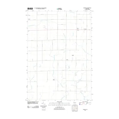 2010 Lindsey2010 Print · USGSCentral Wisconsin at the start of the 2010s shows a landscape of steady agricultural roots and sprawling river headwaters. Researchers can locate family burial sites at Yolo Cemetery or Rock Cemetery and trace the paths of the East Fork Black River and Rocky Run.
 - 2010 Map of Lombard, 2010 Print
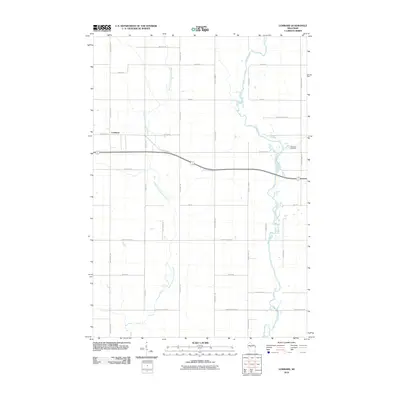 2010 Lombard2010 Print · USGSWisconsin's Clark County countryside is documented here at the turn of the decade, showing the intersection of river valleys and agricultural grids. Genealogists and local historians can trace family-named landmarks like Bachelors Ave and find Riverside Cemetery near Lombard.
 - 2010 Map of Curtiss, 2010 Print
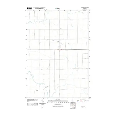 2010 Curtiss2010 Print · USGSWisconsin's Clark County farmland is documented here in the early twenty-first century as the Popple River forks across the landscape. Genealogists and local historians can locate Curtiss and Atwood, alongside landmarks like Pine Hill Cemetery.
 - 2010 Map of City Point NE, 2010 Print
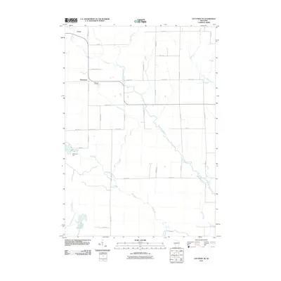 2010 City Point NE2010 Print · USGSSherwood and Nevins are documented here in the early twenty-first century, showcasing a rural Wisconsin landscape tied to the East Fork Black River. Researchers can trace local history at the Sherwood Cemetery or locate landmarks like Sherwood Dam and Sherwood Lake 15.
 - 2010 Map of Horse Creek, 2010 Print
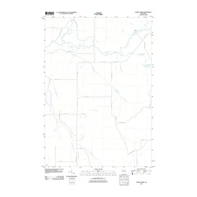 2010 Horse Creek2010 Print · USGSThe Eau Claire County river country is captured here during the first decade of the millennium. Local historians and genealogists can trace the rural network of creeks and forest roads, including the Koehler Ford crossing and the waters of Schoolhouse Creek.
 - 2010 Map of Willard, 2010 Print
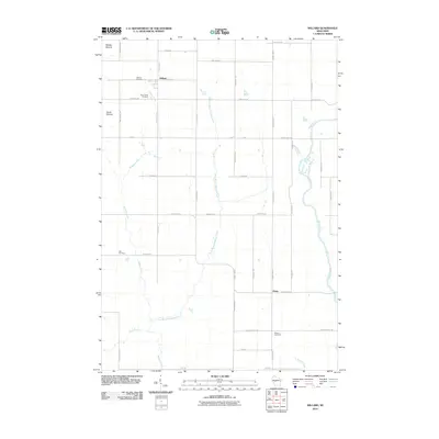 2010 Willard2010 Print · USGSClark County's rural heartland is documented here at the turn of the millennium, showing a landscape defined by small farming communities and river valleys. Researchers can locate family roots at the Holy Family Cemetery, Seif Cemetery, or the settlement of Willard.
 - 2010 Map of Merrillan, 2010 Print
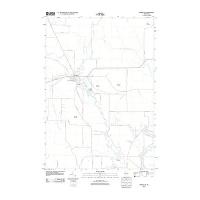 2010 Merrillan2010 Print · USGSThe village of Merrillan is captured here in the early twenty-first century, centered on its historic mill dams and surrounding glacial terrain. Genealogists and local historians can locate Oakwood Cemetery and trace the paths around Bruce Mound and Oakwood Lake 45.
 - 2010 Map of Hatfield NE, 2010 Print
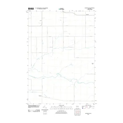 2010 Hatfield NE2010 Print · USGSShortville and the river valleys of Jackson County are captured here during a period of modern rural stability. Genealogists and local historians can trace family land near Levis Cemetery or follow the paths of Rock Creek and the East Fork Black River.
 - 2010 Map of Stanley, 2010 Print
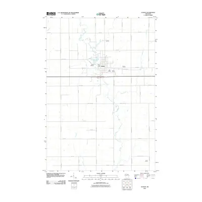 2010 Stanley2010 Print · USGSThe city of Stanley is documented here at the end of the first decade of the 2000s, centered on the Wolf River. Researchers can trace local heritage through five distinct burial grounds including Worden Cemetery or locate the site of the Stanley Mill Dam.
 - 2010 Map of Hatfield, 2010 Print
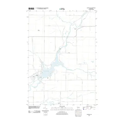 2010 Hatfield2010 Print · USGSThe Black River corridor is captured here at the turn of the millennium, centered on the waters of Lake Arbutus 1290. Researchers can trace local heritage through several burial sites including Dells Dam Cemetery, Indian Cemetery, and the Hatfield Dam infrastructure.
 - 2010 Map of Abbotsford, 2010 Print
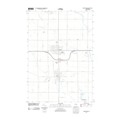 2010 Abbotsford2010 Print · USGSThe interconnected communities of Abbotsford and Colby are shown here at the turn of the decade, surrounded by a landscape of family farms and regional airfields. Trace local lineages at the Abbotsford Public Cemetery or explore the drainage of Elm Brook and the North Fork Popple River.
 - 2010 Map of Greenwood, 2010 Print
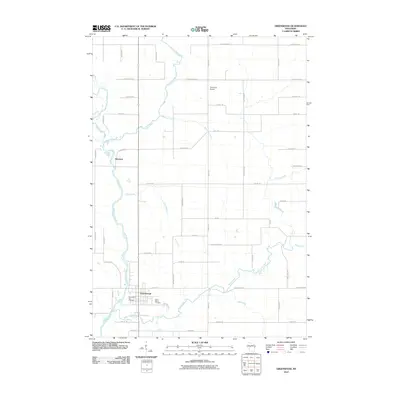 2010 Greenwood2010 Print · USGSGreenwood and the Black River valley are shown in this 2010 survey of Clark County, capturing the region's rural character and waterways. Genealogists and local historians can locate Greenwood City Cemetery, Saint Marys Cemetery, and the settlement of Hemlock.
 - 2010 Map of Spencer North, 2010 Print
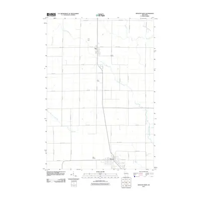 2010 Spencer North2010 Print · USGSMarathon County at the dawn of the 2010s shows a landscape of steady agricultural communities and winding waterways. Genealogists can locate family sites at Brighton Cemetery, Trinity Cemetery, or West Spencer Cemetery along the Little Eau Pleine River.
 - 2010 Map of Wildcat Mound, 2010 Print
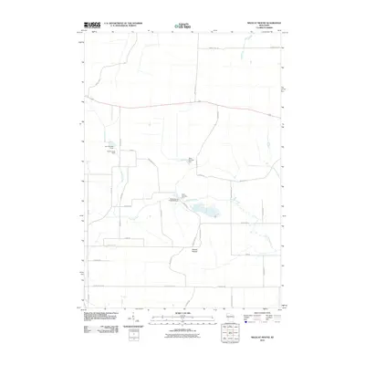 2010 Wildcat Mound2010 Print · USGSClark County at the start of the 2010s reveals a rural landscape shaped by water management and localized terrain. Researchers can locate specific water control sites like Dam Number Five and family-named roads near the prominent Wildcat Mound.
 - 2010 Map of Loyal East, 2010 Print
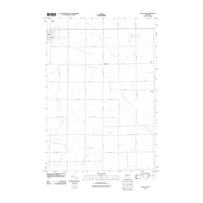 2010 Loyal East2010 Print · USGSClark County's dairy-farm landscape is captured here in the early twenty-first century, showing the rural grid surrounding the city of Loyal. Researchers can locate family landmarks like Saint Anthony Cemetery, the crossroads at Spokeville, and the winding South Branch Yellow River.
 - 2010 Map of Loyal West, 2010 Print
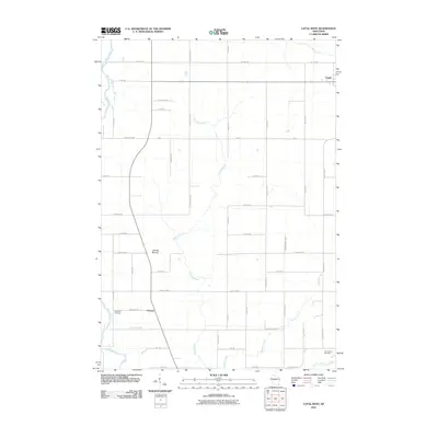 2010 Loyal West2010 Print · USGSWisconsin's central dairy country is documented here in the early 2000s, showing the rural structure of Clark County. Researchers can trace family sites between the Black River and Loyal, locating landmarks like Christie Mound and East Side Cemetery.
 - 2010 Map of Spencer South, 2010 Print
 2010 Spencer South2010 Print · USGSMarathon County's agricultural heartland is documented here in the early twenty-first century, showing the enduring grid of farm roads and river valleys. Genealogists and local historians can locate early burial sites like Coles Cemetery and Veefkind Cemetery or trace the rural crossroads of Chili.
 - 2010 Map of Owen, 2010 Print
 2010 Owen2010 Print · USGSClark County at the start of the decade shows the intertwined communities of Owen and Withee amidst a network of river forks and rural roads. Researchers can locate family sites at Nazareth Cemetery or Longwood Cemetery and trace the course of the Popple River.
 - 2010 Map of Granton, 2010 Print
 2010 Granton2010 Print · USGSGranton and the surrounding Clark County countryside appear in this detailed survey from the early 2000s. Genealogists and historians can locate family plots at Windfall Cemetery or Zion Cemetery and trace the paths of Cunningham Creek and Jack Creek.
 - 2010 Map of Fairchild, 2010 Print
 2010 Fairchild2010 Print · USGSFairchild and Humbird anchor this Wisconsin rural landscape as it appeared in the early twenty-first century. Genealogists and local researchers can trace family landmarks like Cleveland Cemetery, Humbird Bluff, and the Twin Mound Lookout Tower.
 - 2010 Map of Mead Lake West, 2010 Print
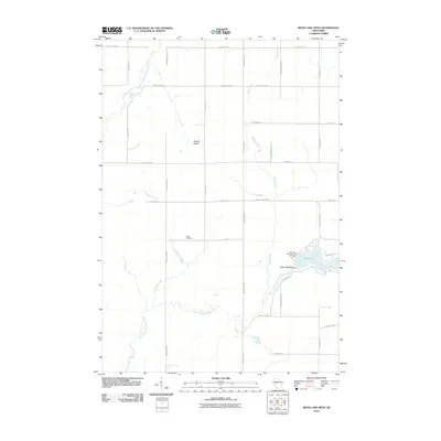 2010 Mead Lake West2010 Print · USGSIn the central Clark County countryside during the early twenty-first century, this landscape shows the confluence of the Eau Claire River forks and the recreation at Mead Lake. Genealogists and local historians can locate the Butler Cemetery and trace watercourses like Dickinson Creek and Popple River.
 - 2010 Map of Neillsville, 2010 Print
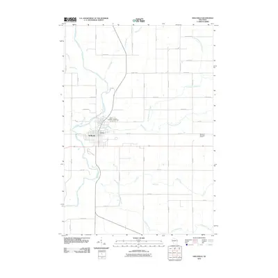 2010 Neillsville2010 Print · USGSNeillsville and its surrounding river valleys are captured here in the early twenty-first century as the region's agricultural and civic layout matured. Genealogists and local historians can locate family plots at Saint Marys Cemetery or trace the winding paths of the Black River and O'Neill Creek.
 - 2010 Map of Simes Creek, 2010 Print
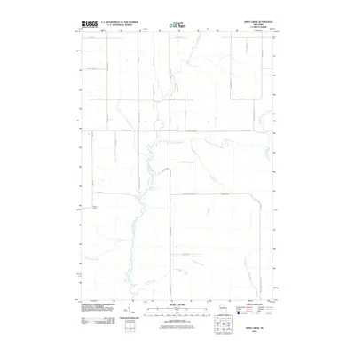 2010 Simes Creek2010 Print · USGSChippewa County remains a landscape of rivers and woodland roads during this early 21st-century survey. You can trace the waters of Hamilton Falls and locate the Wilson Lookout Tower amidst a grid of rural routes like Ritter Rd.
 - 2010 Map of Columbia, 2010 Print
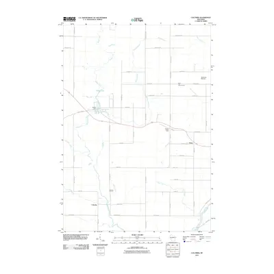 2010 Columbia2010 Print · USGSClark County at the start of the 2010s reveals a quiet landscape of rural settlements and winding waterways. Family historians and researchers can trace the locations of North Pine Valley Cemetery and Columbia Cemetery or locate the Snyder Dam and Moraine Lookout Tower.
 - 2010 Map of Riplinger, 2010 Print
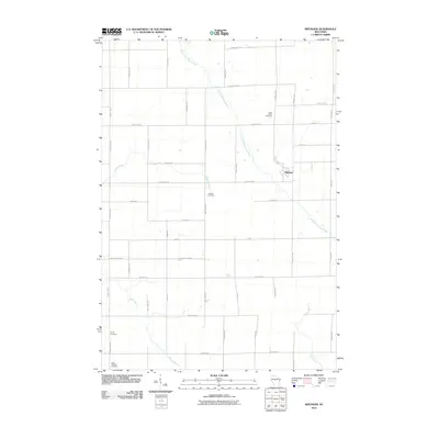 2010 Riplinger2010 Print · USGSThe rural landscape of Clark County is centered on Riplinger during the early 21st century. Genealogists and local historians can trace family roots through several key sites, including Saint Johns Cemetery, Beaver Cemetery, and Trinity Cemetery.
Showing maps 1-25 of 140
Top cities of Clark County
- Neillsville historical maps
- Thorp historical maps
- Loyal historical maps
- Greenwood historical maps
- Owen historical maps
- Dorchester historical maps
See more
Frequently asked questions
- What are the different types of historical maps available for Clark County?
- What is the oldest map of Clark County?
- Where can I purchase historical maps of Clark County for my home or office?
- Where can I download high-res historical maps of Clark County?
- Are there historical topographic maps available for Clark County?
- Is there historical aerial imagery available for Clark County?
- Where are historical maps of Clark County sourced from?