2000s (21st Century) Maps of Thorp, Wisconsin
Explore 20 historic maps of Thorp from the 2000s (21st Century). These maps offer a rare glimpse into what life looked like during the 2000s — showing old roads, neighborhoods, homes, and landmarks that have changed or disappeared over time.
Whether you're researching your family's past, planning a metal detecting trip, or studying how Thorp's landscape evolved across the 2000s, these high-resolution maps are a powerful tool for exploring the history of this region.
- Focus on a specific era: All maps on this page are from the 2000s, giving you a focused view of this time period.
- See what’s changed: Compare century-old streets, trails, and buildings to today's modern landscape using overlays and satellite layers.
- Research with precision: Use these maps for genealogy, historical research, land use analysis, or educational projects.
- View, download, or print: Maps are fully viewable online in high resolution, and can be downloaded or printed for your own records.
Start exploring Thorp's history through authentic maps from the 2000s. This is your window into the past.
Thorp, WI maps
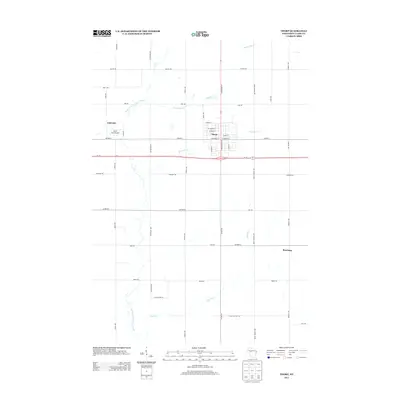
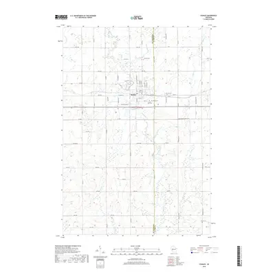
(20)- 2010 Map of Stanley, 2010 Print
 2010 Stanley2010 Print · USGSCovers Thorp, including Stanley, Edson, and other nearby areas
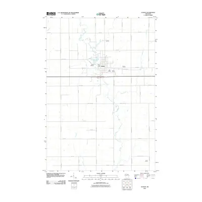
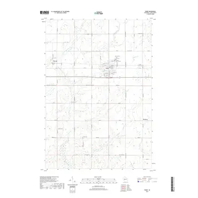
 - 2010 Map of Thorp, 2010 Print
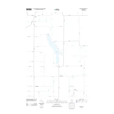
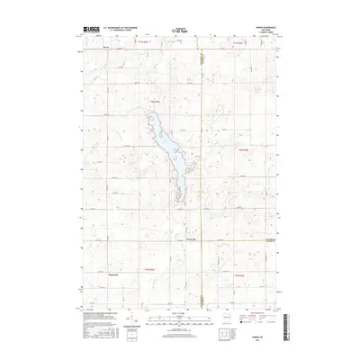
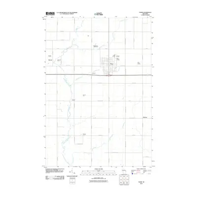 2010 Thorp2010 Print · USGSCovers Thorp, including Reseburg, Eidsvold, and other nearby areas
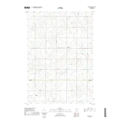
 - 2010 Map of Bellinger, 2010 Print
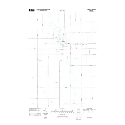
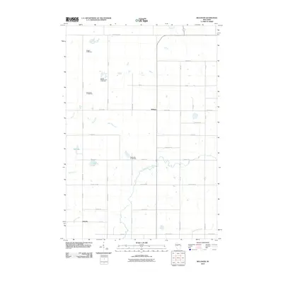 2010 Bellinger2010 Print · USGSCovers Thorp, including Taft, Bellinger, and other nearby areas
 - 2010 Map of Huron, 2010 Print
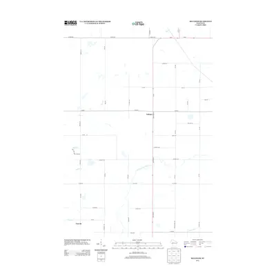
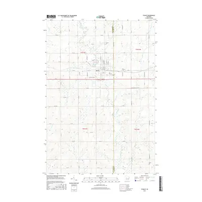
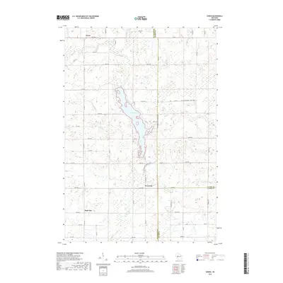
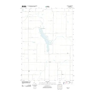 2010 Huron2010 Print · USGSCovers Thorp, including Colburn, Delmar, and other nearby areas
 - 2013 Map of Huron, 2013 Print
 2013 Huron2013 Print · USGSCovers Thorp, including Colburn, Delmar, and other nearby areas
 - 2013 Map of Bellinger, 2013 Print
 2013 Bellinger2013 Print · USGSCovers Thorp, including Taft, Bellinger, and other nearby areas
 - 2013 Map of Stanley, 2013 Print
 2013 Stanley2013 Print · USGSCovers Thorp, including Stanley, Edson, and other nearby areas
 - 2013 Map of Thorp, 2013 Print
 2013 Thorp2013 Print · USGSCovers Thorp, including Reseburg, Eidsvold, and other nearby areas
 - 2015 Map of Huron, 2015 Print
 2015 Huron2015 Print · USGSCovers Thorp, including Colburn, Delmar, and other nearby areas
 - 2015 Map of Bellinger, 2015 Print
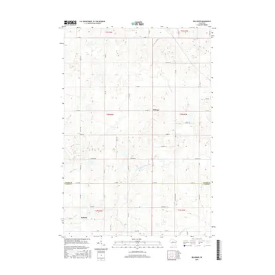 2015 Bellinger2015 Print · USGSCovers Thorp, including Taft, Bellinger, and other nearby areas
 - 2015 Map of Thorp, 2015 Print
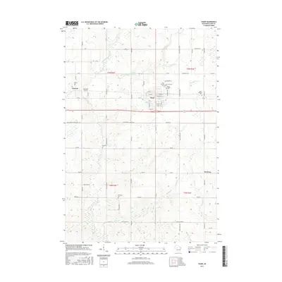 2015 Thorp2015 Print · USGSCovers Thorp, including Reseburg, Eidsvold, and other nearby areas
 - 2015 Map of Stanley, 2015 Print
 2015 Stanley2015 Print · USGSCovers Thorp, including Stanley, Edson, and other nearby areas
 - 2018 Map of Stanley, 2018 Print
 2018 Stanley2018 Print · USGSCovers Thorp, including Stanley, Edson, and other nearby areas
 - 2018 Map of Thorp, 2018 Print
 2018 Thorp2018 Print · USGSCovers Thorp, including Reseburg, Eidsvold, and other nearby areas
 - 2018 Map of Huron, 2018 Print
 2018 Huron2018 Print · USGSCovers Thorp, including Colburn, Delmar, and other nearby areas
 - 2018 Map of Bellinger, 2018 Print
 2018 Bellinger2018 Print · USGSCovers Thorp, including Taft, Bellinger, and other nearby areas
 - 2022 Map of Stanley, 2022 Print
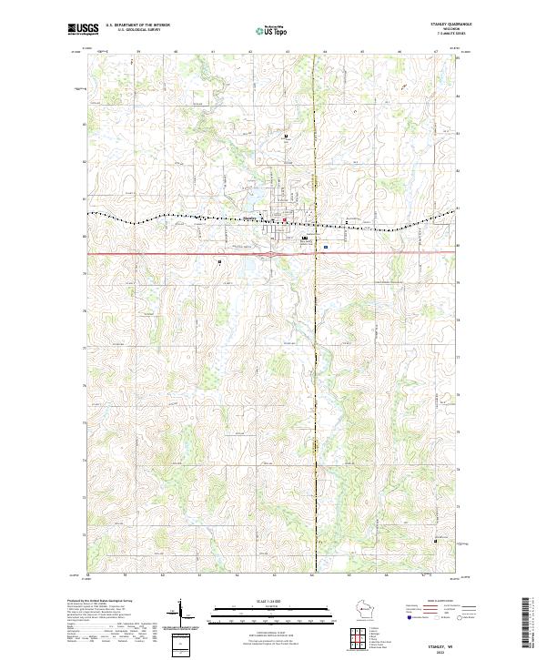 2022 Stanley2022 Print · USGSThe dairy lands and river valleys of Central Wisconsin are documented here in recent years, showing the growth of Stanley and its outlying farms. Researchers can trace family history through several burial grounds including Evergreen Cem and the Worden Cem near the Wolf River.
 - 2022 Map of Thorp, 2022 Print
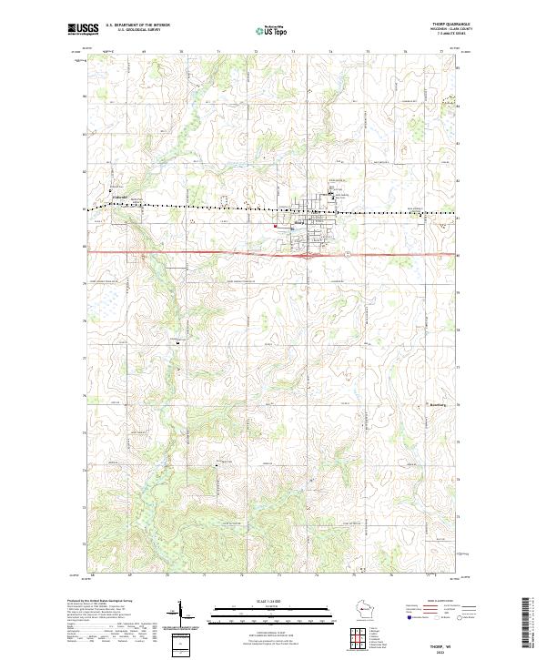 2022 Thorp2022 Print · USGSThorp and the rural townships of Clark County appear in this recent survey, capturing the agricultural character of central Wisconsin. Genealogists can trace family-named burial sites like Germanian Cem and Norwegian Cem or locate the community at Reseburg.
 - 2022 Map of Huron, 2022 Print
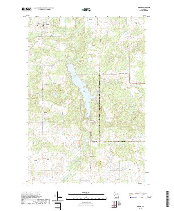 2022 Huron2022 Print · USGSThe crossroads of Chippewa, Taylor, and Clark counties come together in this 2022 survey of Huron and the central Wisconsin wetlands. Genealogists and hikers alike can trace the paths between Saint Johns Orthodox Cem, the shores of Otter Lake, and the winding Ice Age National Scenic Trl.
 - 2022 Map of Bellinger, 2022 Print
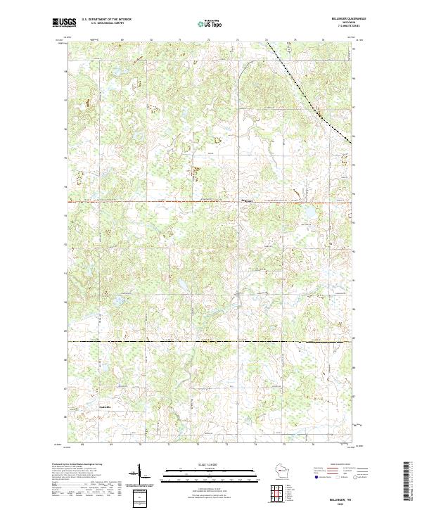 2022 Bellinger2022 Print · USGSThe borderlands of Taylor and Clark counties are mapped here in the early twenty-first century, showing a rural landscape shaped by glacial history. Researchers can trace the Ice Age National Scenic Trl as it passes near Bellinger and the banks of the North Fork Eau Claire River.
End of results
Showing maps 1-20 of 20
Top cities near Thorp
- Stanley historical maps
- Thorp historical maps
- Edson historical maps
- Colburn historical maps
- Reseburg historical maps
- Longwood historical maps
See more
Top neighborhoods of Thorp
Frequently asked questions
- What are the different types of historical maps available for Thorp?
- What is the oldest map of Thorp?
- Where can I purchase historical maps of Thorp for my home or office?
- Where can I download high-res historical maps of Thorp?
- Are there historical topographic maps available for Thorp?
- Is there historical aerial imagery available for Thorp?
- Where are historical maps of Thorp sourced from?