2000s (21st Century) Maps of Columbia County, Wisconsin
Explore 125 historic maps of Columbia County from the 2000s (21st Century). These maps offer a rare glimpse into what life looked like during the 2000s — showing old roads, neighborhoods, homes, and landmarks that have changed or disappeared over time.
Whether you're researching your family's past, planning a metal detecting trip, or studying how Columbia County's landscape evolved across the 2000s, these high-resolution maps are a powerful tool for exploring the history of this region.
- Focus on a specific era: All maps on this page are from the 2000s, giving you a focused view of this time period.
- See what’s changed: Compare century-old streets, trails, and buildings to today's modern landscape using overlays and satellite layers.
- Research with precision: Use these maps for genealogy, historical research, land use analysis, or educational projects.
- View, download, or print: Maps are fully viewable online in high resolution, and can be downloaded or printed for your own records.
Start exploring Columbia County's history through authentic maps from the 2000s. This is your window into the past.
Columbia County, WI maps
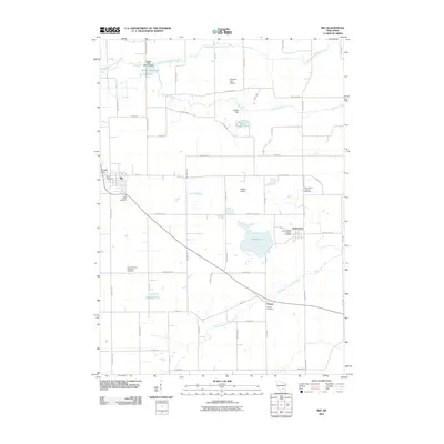
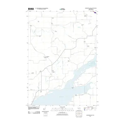
(125)- 2010 Map of Briggsville, 2010 Print
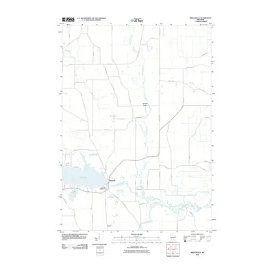 2010 Briggsville2010 Print · USGSCovers Columbia County, including Lewiston, Jackson, and other nearby areas
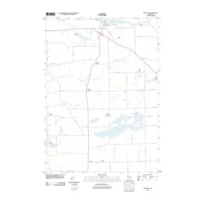
 - 2010 Map of Morrisonville, 2010 Print
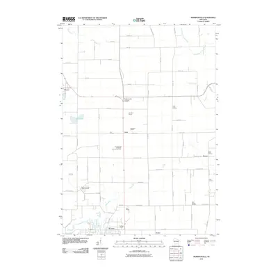 2010 Morrisonville2010 Print · USGSCovers Columbia County, including DeForest, Windsor, and other nearby areas
 - 2010 Map of Portage, 2010 Print
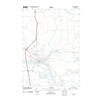 2010 Portage2010 Print · USGSCovers Columbia County, including Portage, Lewiston, and other nearby areas
 - 2010 Map of Marquette, 2010 Print
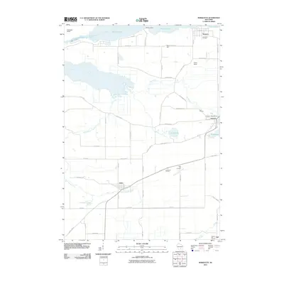 2010 Marquette2010 Print · USGSCovers Columbia County, including Marcellon, Manchester, and other nearby areas
 - 2010 Map of Rio, 2010 Print
 2010 Rio2010 Print · USGSCovers Columbia County, including Rio, Otsego, and other nearby areas
 - 2010 Map of Endeavor, 2010 Print
 2010 Endeavor2010 Print · USGSCovers Columbia County, including Packwaukee, Lewiston, and other nearby areas
 - 2010 Map of Wisconsin Dells North, 2010 Print
 2010 Wisconsin Dells North2010 Print · USGSCovers Columbia County, including Wisconsin Dells, Dell Prairie, and other nearby areas
 - 2010 Map of North Bristol, 2010 Print
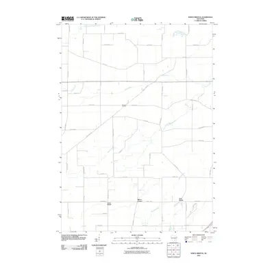 2010 North Bristol2010 Print · USGSCovers Columbia County, including Windsor, Town of Bristol, and other nearby areas
 - 2010 Map of Columbus, 2010 Print
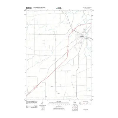 2010 Columbus2010 Print · USGSCovers Columbia County, including Columbus, Otsego, and other nearby areas
 - 2010 Map of Lodi, 2010 Print
 2010 Lodi2010 Print · USGSCovers Columbia County, including Lodi, Roxbury, and other nearby areas
 - 2010 Map of Sand Spring Creek, 2010 Print
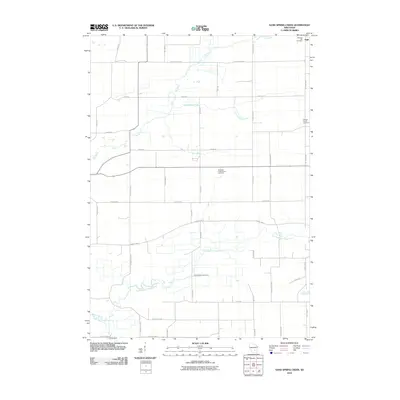 2010 Sand Spring Creek2010 Print · USGSCovers Columbia County, including Marcellon, Cambria, and other nearby areas
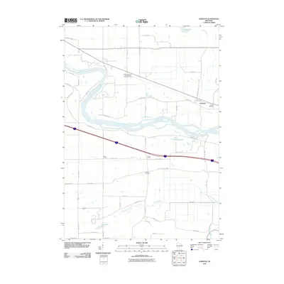
 - 2010 Map of Arlington, 2010 Print
 2010 Arlington2010 Print · USGSCovers Columbia County, including DeForest, Vienna, and other nearby areas
 - 2010 Map of Big Spring, 2010 Print
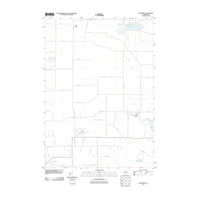 2010 Big Spring2010 Print · USGSCovers Columbia County, including Wisconsin Dells, Dell Prairie, and other nearby areas
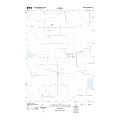
 - 2010 Map of Poynette, 2010 Print
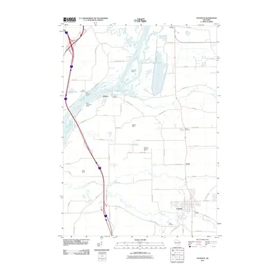 2010 Poynette2010 Print · USGSCovers Columbia County, including Poynette, Dekorra, and other nearby areas
 - 2010 Map of Sauk City, 2010 Print
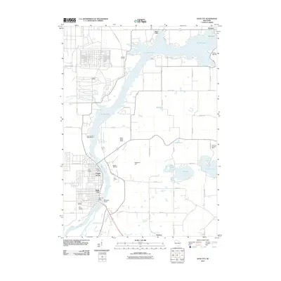 2010 Sauk City2010 Print · USGSCovers Columbia County, including Prairie du Sac, Sauk City, and other nearby areas
 - 2010 Map of Pardeeville, 2010 Print
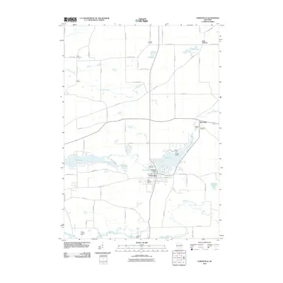 2010 Pardeeville2010 Print · USGSCovers Columbia County, including Pardeeville, Marcellon, and other nearby areas
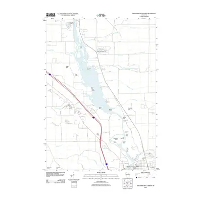
 - 2010 Map of Durwards Glen, 2010 Print
 2010 Durwards Glen2010 Print · USGSCovers Columbia County, including Dekorra, Merrimac, and other nearby areas
 - 2010 Map of Wyocena, 2010 Print
 2010 Wyocena2010 Print · USGSCovers Columbia County, including Dekorra, Rio, and other nearby areas
 - 2010 Map of Fall River, 2010 Print
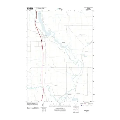
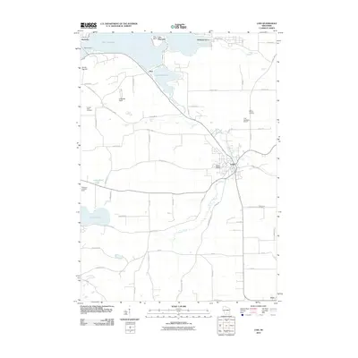
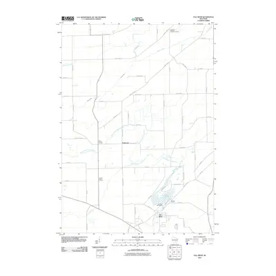 2010 Fall River2010 Print · USGSCovers Columbia County, including Fall River, Otsego, and other nearby areas
 - 2010 Map of Randolph, 2010 Print
 2010 Randolph2010 Print · USGSCovers Columbia County, including Cambria, Randolph, and other nearby areas
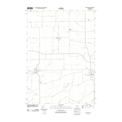
 - 2010 Map of Observatory Hill, 2010 Print
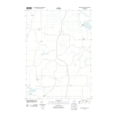 2010 Observatory Hill2010 Print · USGSCovers Columbia County, including Packwaukee, Marcellon, and other nearby areas
 - 2010 Map of Lewiston, 2010 Print
 2010 Lewiston2010 Print · USGSCovers Columbia County, including Lake Delton, Wisconsin Dells, and other nearby areas
 - 2010 Map of Manchester, 2010 Print
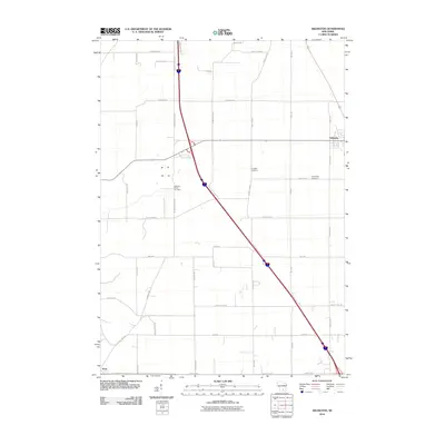
 2010 Manchester2010 Print · USGSCovers Columbia County, including Markesan, Manchester, and other nearby areas
 - 2010 Map of Wisconsin Dells South, 2010 Print
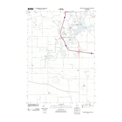 2010 Wisconsin Dells South2010 Print · USGSCovers Columbia County, including Lake Delton, Wisconsin Dells, and other nearby areas
 - 2011 Map of Pine Island, 2011 Print
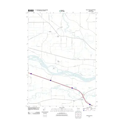 2011 Pine Island2011 Print · USGSCovers Columbia County, including Portage, Lewiston, and other nearby areas
Showing maps 1-25 of 125
Top cities of Columbia County
- Portage historical maps
- Columbus historical maps
- Lodi historical maps
- Poynette historical maps
- Dekorra historical maps
- Pardeeville historical maps
See more
Frequently asked questions
- What are the different types of historical maps available for Columbia County?
- What is the oldest map of Columbia County?
- Where can I purchase historical maps of Columbia County for my home or office?
- Where can I download high-res historical maps of Columbia County?
- Are there historical topographic maps available for Columbia County?
- Is there historical aerial imagery available for Columbia County?
- Where are historical maps of Columbia County sourced from?