Old Maps of Columbia County, Wisconsin for Academic Research
Study the evolution of Columbia County with 71 high-resolution historic maps. Whether you're teaching, researching, or modeling changes in land use, these maps provide essential visual documentation of urban, environmental, and geographic change.
- Analyze long-term change: Track patterns in development, transportation, and natural features.
- Ideal for environmental or urban studies: Support academic projects with primary historical map data.
- Use in the classroom or lab: Educators and researchers rely on these maps to bring historical context to life.
These maps are a powerful tool for teaching, research, and visualizing how Columbia County has changed over the decades.
Columbia County, WI maps
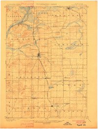
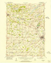
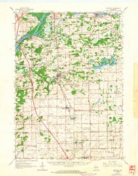
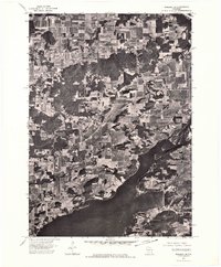
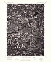
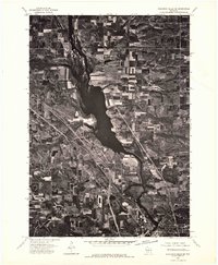
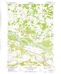
(71)- 1895 Map of Baraboo
 1895 Baraboo1895 Print · USGSCovers Columbia County, including Baraboo, Prairie du Sac, and other nearby areas9 unique versions available
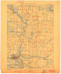
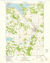
 - 1901 Map of Poynette
 1901 Poynette1901 Print · USGSCovers Columbia County, including DeForest, Windsor, and other nearby areas3 unique versions available
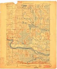
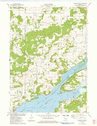
 - 1901 Map of The Dells
 1901 The Dells1901 Print · USGSCovers Columbia County, including Reedsburg, Lake Delton, and other nearby areas6 unique versions available
 - 1902 Map of Portage
 1902 Portage1902 Print · USGSCovers Columbia County, including Portage, Pardeeville, and other nearby areas3 unique versions available
 - 1902 Map of Briggsville
 1902 Briggsville1902 Print · USGSCovers Columbia County, including Portage, Lake Delton, and other nearby areas4 unique versions available
 - 1908 Map of Baraboo
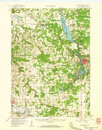
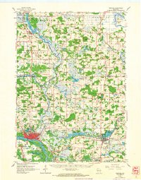
 1908 Baraboo1908 Print · USGSCovers Columbia County, including Baraboo, Prairie du Sac, and other nearby areas
 - 1955 Map of Randolph, 1956 Print
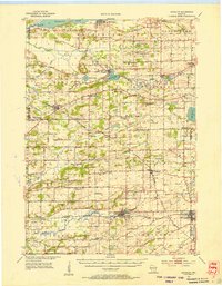 1955 Randolph1956 Print · USGSCovers Columbia County, including Markesan, Marcellon, and other nearby areas2 unique versions available
 - 1955 Map of Columbus, 1956 Print
 1955 Columbus1956 Print · USGSCovers Columbia County, including Windsor, Columbus, and other nearby areas2 unique versions available
 - 1957 Map of Wisconsin Dells, 1959 Print
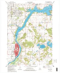
 1957 Wisconsin Dells1959 Print · USGSCovers Columbia County, including Reedsburg, Lake Delton, and other nearby areas
 - 1957 Map of Madison, 1967 Print
 1957 Madison1967 Print · USGSCovers Columbia County, including Milwaukee, Madison, and other nearby areas3 unique versions available
 - 1958 Map of Briggsville, 1959 Print
 1958 Briggsville1959 Print · USGSCovers Columbia County, including Portage, Lake Delton, and other nearby areas3 unique versions available
 - 1959 Map of Baraboo, 1961 Print
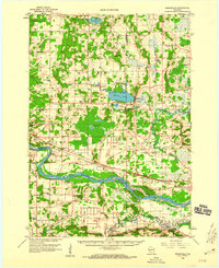
 1959 Baraboo1961 Print · USGSCovers Columbia County, including Baraboo, Prairie du Sac, and other nearby areas4 unique versions available
 - 1960 Map of Madison
 1960 Madison1960 Print · USGSCovers Columbia County, including Milwaukee, Madison, and other nearby areas2 unique versions available
 - 1962 Map of Poynette, 1964 Print
 1962 Poynette1964 Print · USGSCovers Columbia County, including DeForest, Windsor, and other nearby areas2 unique versions available
 - 1962 Map of Portage, 1964 Print
 1962 Portage1964 Print · USGSCovers Columbia County, including Portage, Pardeeville, and other nearby areas
 - 1974 Map of Baraboo SE, 1976 Print
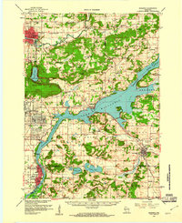
 1974 Baraboo SE1976 Print · USGSCovers Columbia County, including Lodi, Roxbury, and other nearby areas
 - 1974 Map of Baraboo SW, 1976 Print
 1974 Baraboo SW1976 Print · USGSCovers Columbia County, including Prairie du Sac, Sauk City, and other nearby areas
 - 1974 Map of Baraboo NE, 1976 Print
 1974 Baraboo NE1976 Print · USGSCovers Columbia County, including Dekorra, Merrimac, and other nearby areas
 - 1975 Map of Wisconsin Dells SE, 1976 Print
 1975 Wisconsin Dells SE1976 Print · USGSCovers Columbia County, including Lake Delton, Wisconsin Dells, and other nearby areas3 unique versions available
 - 1975 Map of Wisconsin Dells NE, 1976 Print
 1975 Wisconsin Dells NE1976 Print · USGSCovers Columbia County, including Wisconsin Dells, Dell Prairie, and other nearby areas2 unique versions available
 - 1975 Map of Sauk City, 1978 Print
 1975 Sauk City1978 Print · USGSCovers Columbia County, including Prairie du Sac, Sauk City, and other nearby areas
 - 1975 Map of Pine Island, 1978 Print
 1975 Pine Island1978 Print · USGSCovers Columbia County, including Portage, Lewiston, and other nearby areas
 - 1975 Map of Lodi, 1978 Print
 1975 Lodi1978 Print · USGSCovers Columbia County, including Lodi, Roxbury, and other nearby areas
 - 1975 Map of Durwards Glen, 1978 Print
 1975 Durwards Glen1978 Print · USGSCovers Columbia County, including Dekorra, Merrimac, and other nearby areas
 - 1975 Map of Lewiston, 1978 Print
 1975 Lewiston1978 Print · USGSCovers Columbia County, including Lake Delton, Wisconsin Dells, and other nearby areas
Showing maps 1-25 of 71
Top cities of Columbia County
- Portage historical maps
- Columbus historical maps
- Lodi historical maps
- Poynette historical maps
- Dekorra historical maps
- Pardeeville historical maps
See more
Frequently asked questions
- What are the different types of historical maps available for Columbia County?
- What is the oldest map of Columbia County?
- Where can I purchase historical maps of Columbia County for my home or office?
- Where can I download high-res historical maps of Columbia County?
- Are there historical topographic maps available for Columbia County?
- Is there historical aerial imagery available for Columbia County?
- Where are historical maps of Columbia County sourced from?