2020s Maps of Columbia County, Wisconsin
Explore 25 historic maps of Columbia County from the 2020s. These maps offer a rare glimpse into what life looked like during the 2020s — showing old roads, neighborhoods, homes, and landmarks that have changed or disappeared over time.
Whether you're researching your family's past, planning a metal detecting trip, or studying how Columbia County's landscape evolved across the 2020s, these high-resolution maps are a powerful tool for exploring the history of this region.
- Focus on a specific era: All maps on this page are from the 2020s, giving you a focused view of this time period.
- See what’s changed: Compare century-old streets, trails, and buildings to today's modern landscape using overlays and satellite layers.
- Research with precision: Use these maps for genealogy, historical research, land use analysis, or educational projects.
- View, download, or print: Maps are fully viewable online in high resolution, and can be downloaded or printed for your own records.
Start exploring Columbia County's history through authentic maps from the 2020s. This is your window into the past.
Columbia County, WI maps
(25)- 2022 Map of North Bristol, 2022 Print
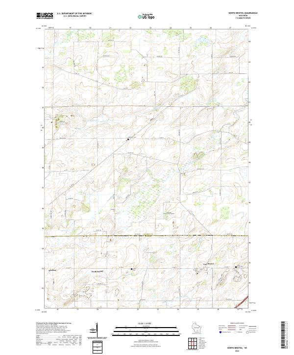 2022 North Bristol2022 Print · USGSColumbia and Dane Counties meet in this modern rural landscape, where family-named roads like Reisgard Rd trace old farm boundaries. Researchers can locate historic burial sites including Hampden Cem and the Saint Joseph's Cem near East Bristol.
 - 2022 Map of Briggsville, 2022 Print
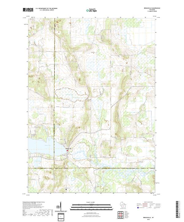 2022 Briggsville2022 Print · USGSBriggsville and the surrounding tri-county marshlands are captured in this recent survey. Local researchers can trace family landmarks and agricultural history near Mason Lake, Greenwood Cem, and the descriptively named Cheese Factory Rd.
 - 2022 Map of Pardeeville, 2022 Print
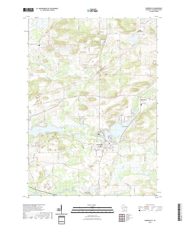 2022 Pardeeville2022 Print · USGSColumbia County’s glaciated terrain and river networks are preserved here in the early twenty-first century. Researchers can locate family sites near Marcellon Cemetery or trace the early paths of Military Road and the banks of Swan Lake.
 - 2022 Map of Marquette, 2022 Print
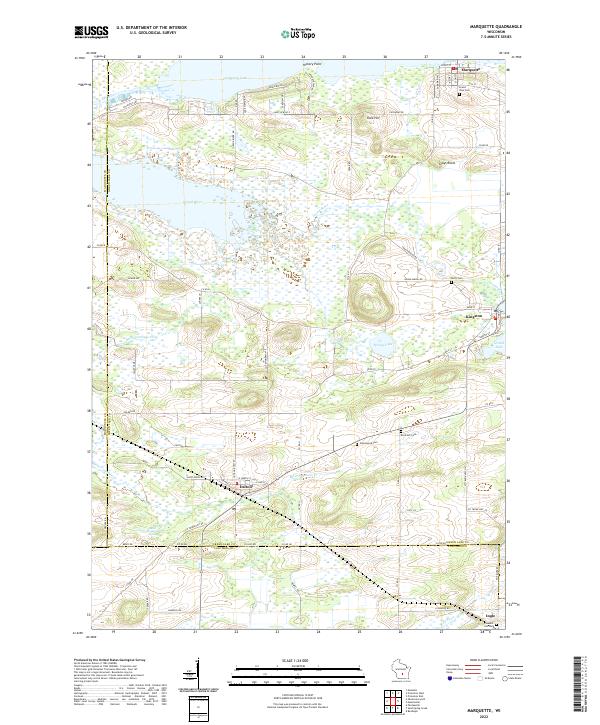 2022 Marquette2022 Print · USGSGreen Lake County at the start of the 2020s shows a landscape still deeply tied to its river and lake geography. You can trace old family names and sites at Grand View Cem or Greenwood Cem while exploring the banks of Puckaway Lake and Grand River.
 - 2022 Map of Lewiston, 2022 Print
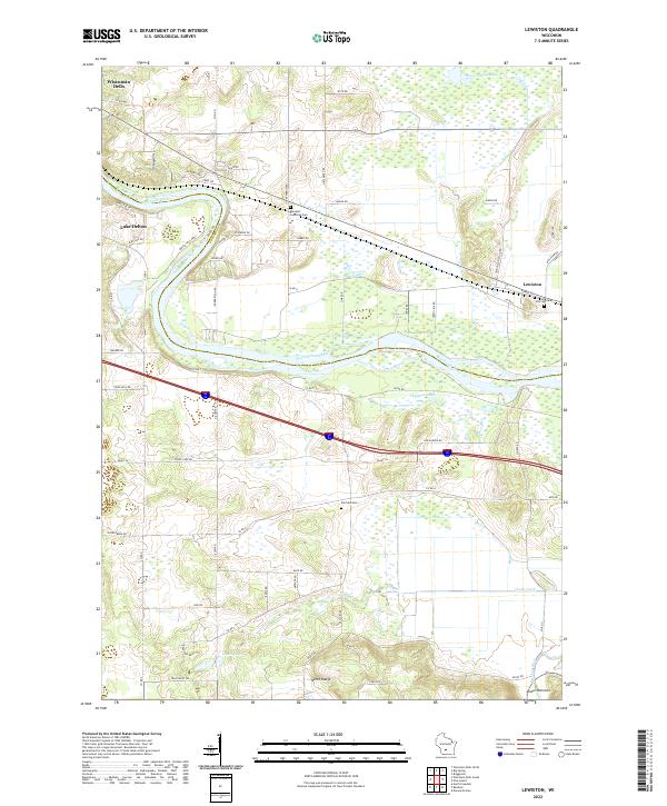 2022 Lewiston2022 Print · USGSWisconsin Dells and the surrounding rural townships are shown here in the early twenty-first century, spanning the river-cut landscape of Sauk and Columbia counties. Researchers can trace local heritage through sites like Newport Lutheran Cem and the natural geography of the North Range and Lower Narrows.
 - 2022 Map of Manchester, 2022 Print
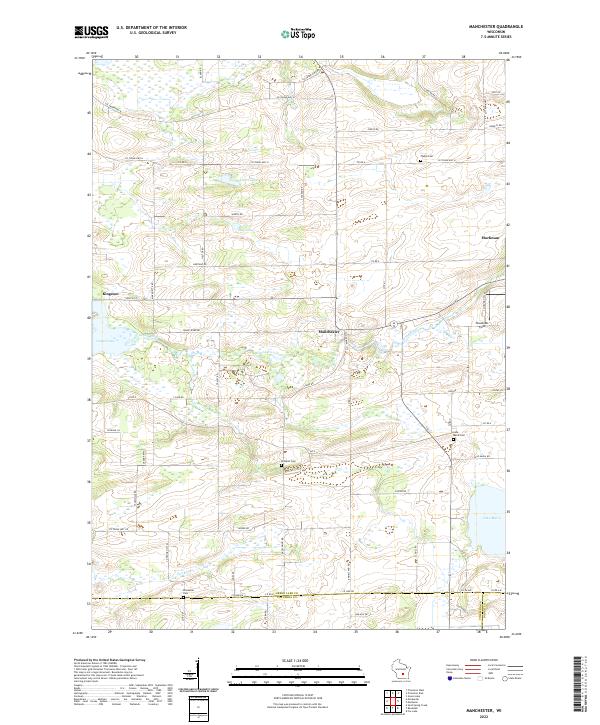 2022 Manchester2022 Print · USGSGreen Lake and Columbia County are mapped here in the early twenty-first century, showing a landscape defined by river valleys and rural settlements. Researchers can trace family history through sites like Phelps Cem and Krastetter Cem near Kingston and Manchester.
 - 2022 Map of Fall River, 2022 Print
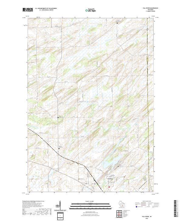 2022 Fall River2022 Print · USGSFall River and the surrounding Columbia County farmland are captured in the early 2020s as the community revolves around the Crawfish River. Researchers can locate several historical burial sites like Saint Stephen Cem and Courtland Methodist Cem, or trace the shoreline of Lazy Lake.
 - 2022 Map of Big Spring, 2022 Print
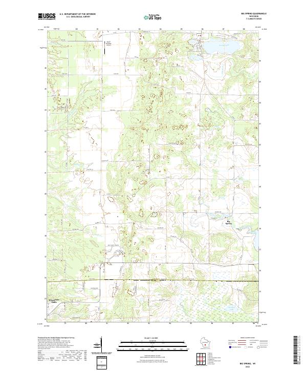 2022 Big Spring2022 Print · USGSThe rural borderlands of Adams and Columbia counties are captured here in a period of modern local development. Researchers can trace the water-carved landscape of Big Spring Creek and locate community landmarks like New Christ Church and Jordan Lake.
 - 2022 Map of Arlington, 2022 Print
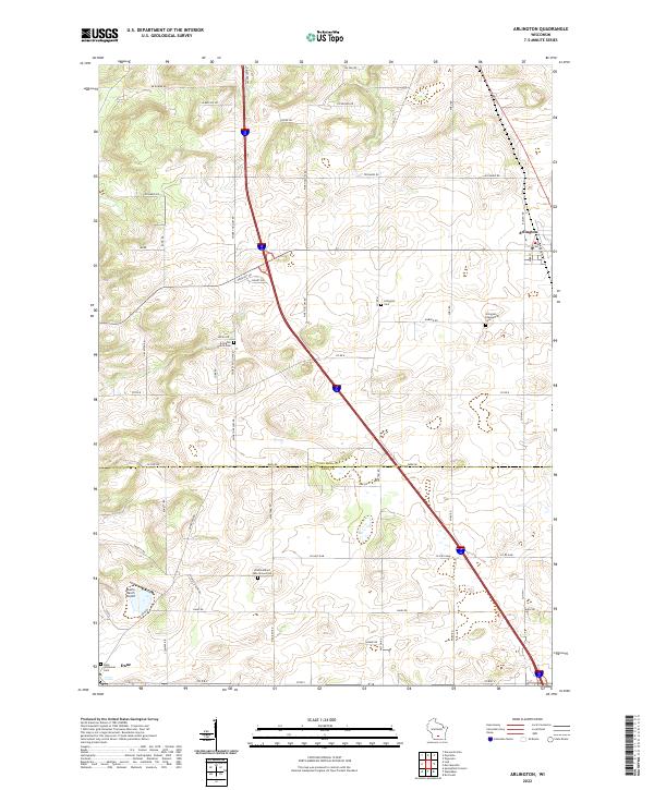 2022 Arlington2022 Print · USGSThe fertile prairie of the Columbia and Dane County border is documented here in the early twenty-first century. Researchers can locate family landmarks such as Arlington Prairie Cem, One Hundred Mile Grove Cem, and the village of Arlington.
 - 2022 Map of Durwards Glen, 2022 Print
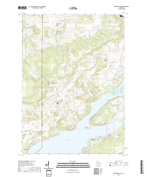 2022 Durwards Glen2022 Print · USGSThe Baraboo Range meets the Wisconsin River in the early 2020s, revealing a landscape where high ridges give way to expansive river bays. Genealogists can trace a remarkable number of rural burial sites, from Indian Farm Cem and Shanks Cem to the Caledonia German Methodist Cem.
 - 2022 Map of Endeavor, 2022 Print
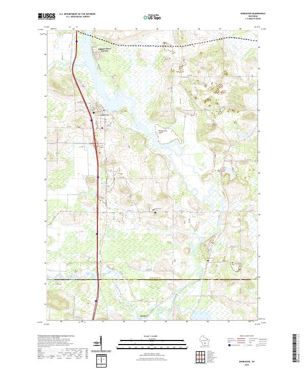 2022 Endeavor2022 Print · USGSEndeavor and the surrounding riverlands of Marquette County are captured here in the early 2020s. Genealogists and local historians can trace family locations near Hill Crest Cem, the southern settlement of Anacker, and the wetlands of the Fox River.
 - 2022 Map of Rio, 2022 Print
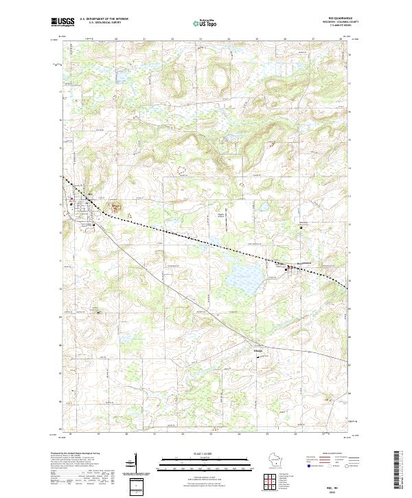 2022 Rio2022 Print · USGSColumbia County’s dairy and wetland landscapes are captured here in the early twenty-first century, centered on the villages of Rio and Doylestown. Genealogists can locate several historic burial sites, including Ohio Cem, Bonnet Prairie Cem, and Otsego Cem.
 - 2022 Map of Morrisonville, 2022 Print
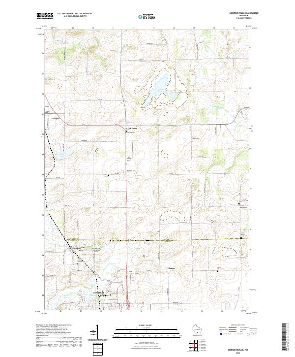 2022 Morrisonville2022 Print · USGSSouthern Columbia County in the 2020s remains a landscape of deep-rooted farmsteads and rural crossroads. Researchers can trace family history through numerous churchyards and burial sites including Greenwood Cem, Zion Cem, and the Leeds Center Cem.
 - 2022 Map of Observatory Hill, 2022 Print
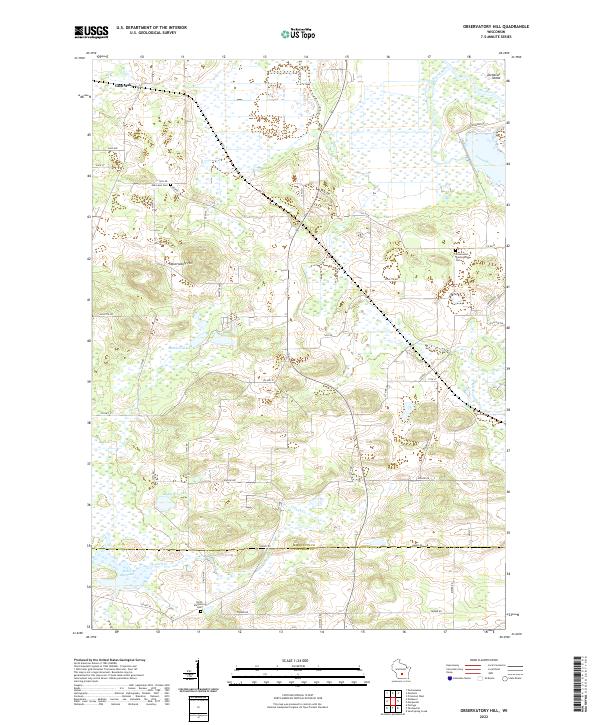 2022 Observatory Hill2022 Print · USGSThe Marquette and Columbia county line comes alive in the early 2020s, showing a rural landscape of glacial hills and river valleys. Genealogists can locate family sites at Oak Lawn Cem or North Marcellon Cem while tracing the Fox River shoreline.
 - 2022 Map of Randolph, 2022 Print
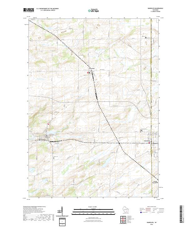 2022 Randolph2022 Print · USGSThe agricultural landscape of Columbia and Dodge counties is mapped in detail here as it appeared in the early 2020s. Genealogists can locate several family landmarks and burial sites including Engedi Cem, Randolph Cem, and the village of Friesland.
 - 2022 Map of Wisconsin Dells South, 2022 Print
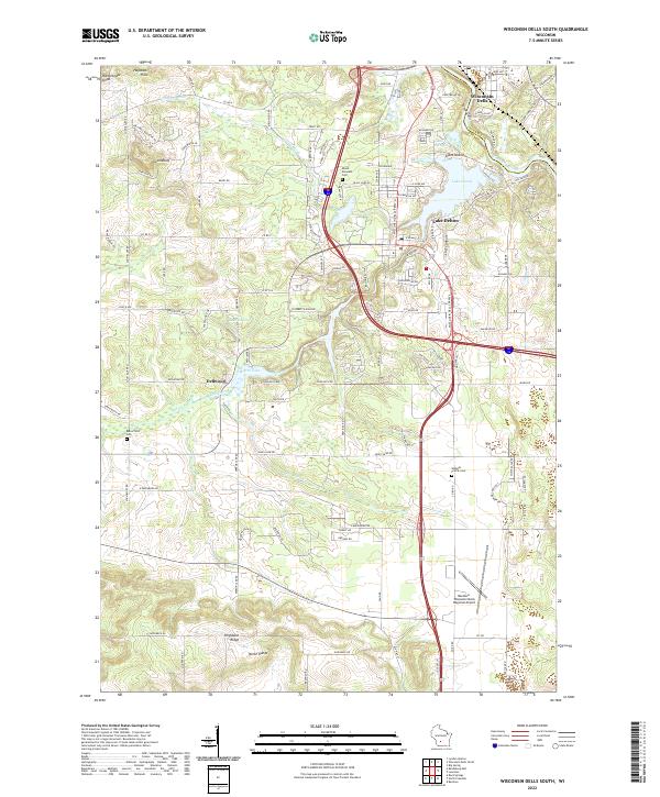 2022 Wisconsin Dells South2022 Print · USGSSauk County’s landscape near the Wisconsin River is documented here in its contemporary form. Trace the geography of local landmarks and burial sites like Mount Pleasant Cem, Lost Canyon, and the Baraboo-Wisconsin Dells Regional Airport.
 - 2022 Map of Poynette, 2022 Print
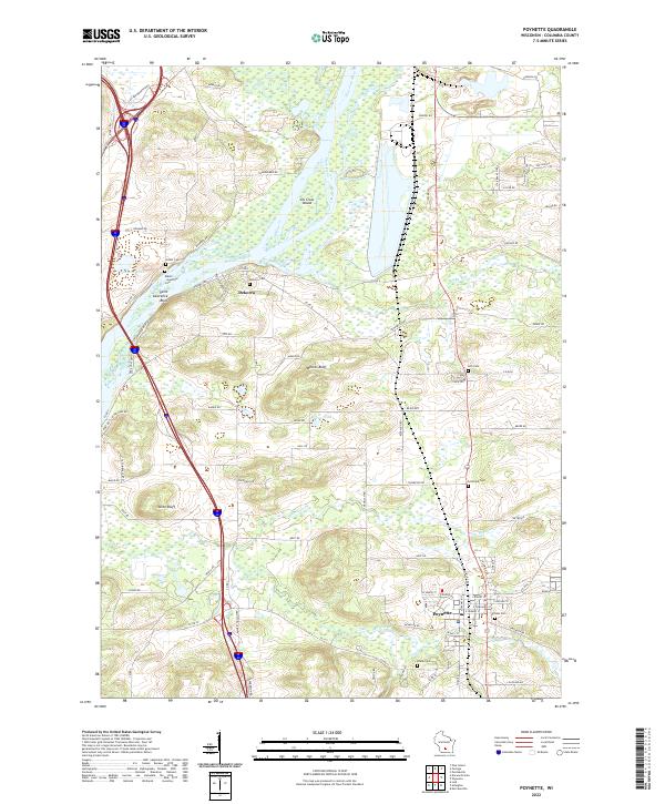 2022 Poynette2022 Print · USGSThe river valley and rail corridor around Poynette are shown in detail in this modern survey. Researchers can trace family history at numerous rural sites including Hillside Cemetery, Dekorra, and the riverfront bluffs near Lib Gross Island.
 - 2022 Map of Pine Island, 2022 Print
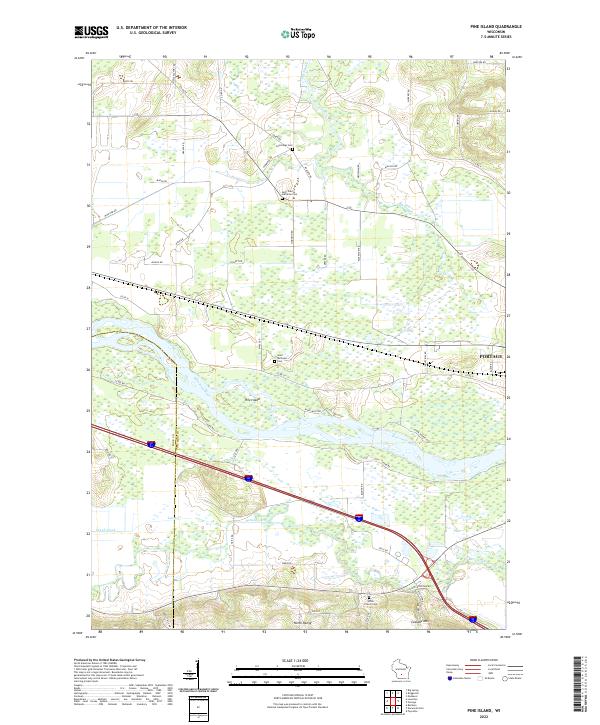 2022 Pine Island2022 Print · USGSThe confluence of the Wisconsin and Baraboo rivers near the Columbia and Sauk county line is shown in great detail here. Genealogists and local historians can locate family plots at Cummings Cem and Saint Michaels Cem or trace the early paths of Levee Rd.
 - 2022 Map of Lodi, 2022 Print
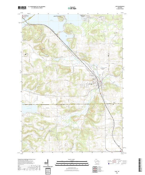 2022 Lodi2022 Print · USGSThe glacier-carved landscape of Columbia and Dane Counties is captured here in the early twenty-first century, centered on the historic river town of Lodi. Genealogists and hikers can trace the Ice Age National Scenic Trl past landmarks like Gibraltar Rock and Saint Patrick's Cem.
 - 2022 Map of Wisconsin Dells North, 2022 Print
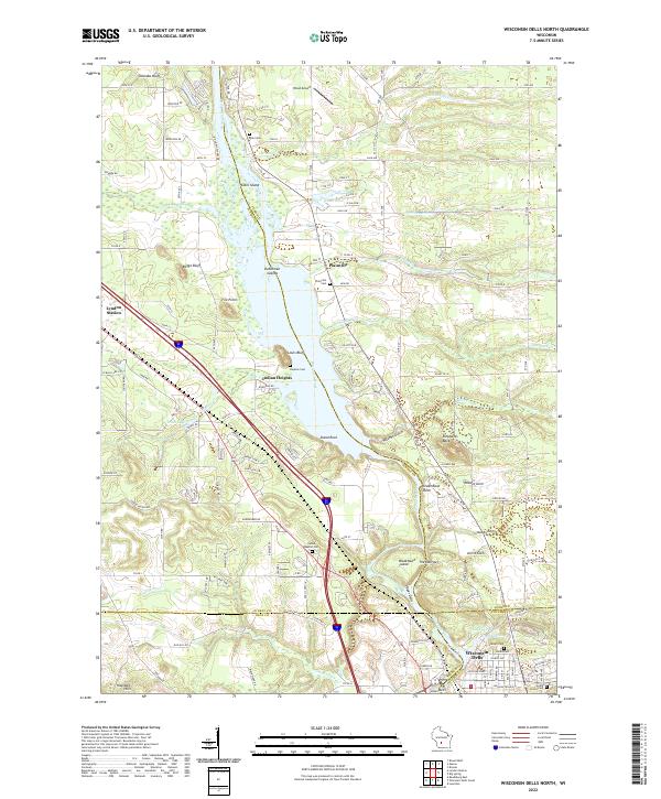 2022 Wisconsin Dells North2022 Print · USGSThe northern Dells and the junction of four Wisconsin counties come into focus in this recent survey. Local historians can trace the Union Pacific RR through Lyndon Station or locate family sites at Plainville Cem and Indian Baptist Cem along the Wisconsin River.
 - 2022 Map of Sauk City, 2022 Print
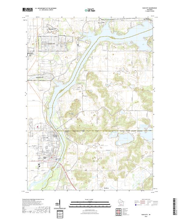 2022 Sauk City2022 Print · USGSThe twin communities of Sauk City and Prairie du Sac are captured here as they appeared recently along the Wisconsin River. Genealogists and local historians can trace family locations through several burial grounds like Thoelke Cem and the Sauk City Cem.
 - 2022 Map of Portage, 2022 Print
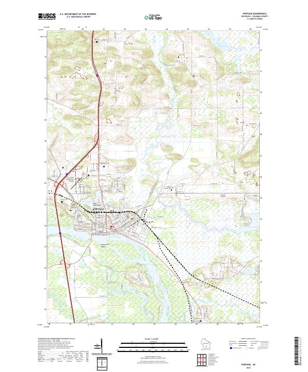 2022 Portage2022 Print · USGSPortage and the surrounding wetlands are shown at a time when the historic canal route between the Fox River and Wisconsin River still defines the city's layout. Researchers can trace local lineage through several sites, including Old Fort Winnebago Cem, Oak Grove Cem, and Saint Mary's Cem.
 - 2022 Map of Wyocena, 2022 Print
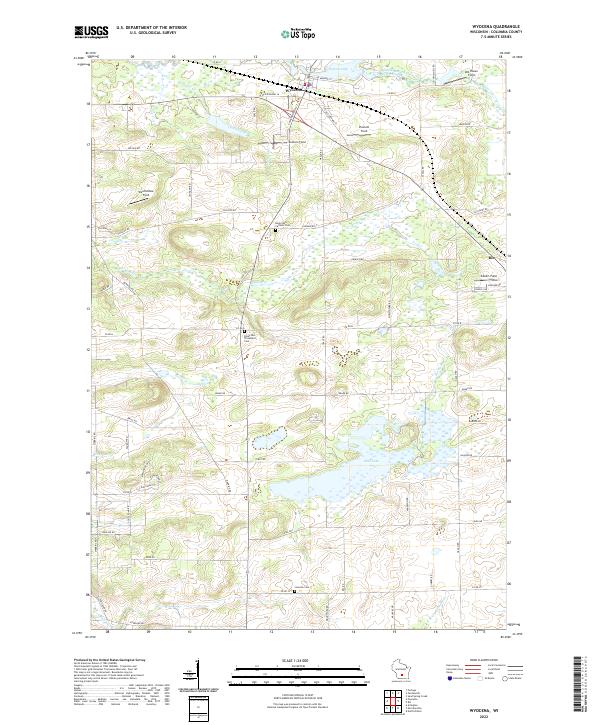 2022 Wyocena2022 Print · USGSThe village of Wyocena and the surrounding Columbia County wetlands are shown here in the early twenty-first century. Genealogists can locate family plots at the Rocky Run Catholic Cem or trace the shoreline of Wyona Lake and Mud Lake.
 - 2022 Map of Columbus, 2022 Print
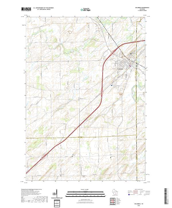 2022 Columbus2022 Print · USGSColumbus and its surrounding farm country are captured here at the start of the 2020s. Researchers can locate burial sites like Hillside Cem and Oak Lawn Cem or trace the winding path of the Crawfish River.
 - 2022 Map of Sand Spring Creek, 2022 Print
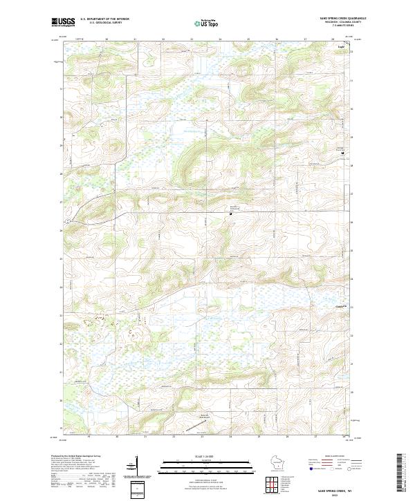 2022 Sand Spring Creek2022 Print · USGSColumbia County at the turn of the 2020s shows a landscape defined by the winding Fox River and extensive marshlands. Family historians can trace local landmarks like Portage Prairie Cem and Rosedale Presbyterian Cem or the rural outskirts of Cambria.
End of results
Showing maps 1-25 of 25
Top cities of Columbia County
- Portage historical maps
- Columbus historical maps
- Lodi historical maps
- Poynette historical maps
- Dekorra historical maps
- Pardeeville historical maps
See more
Frequently asked questions
- What are the different types of historical maps available for Columbia County?
- What is the oldest map of Columbia County?
- Where can I purchase historical maps of Columbia County for my home or office?
- Where can I download high-res historical maps of Columbia County?
- Are there historical topographic maps available for Columbia County?
- Is there historical aerial imagery available for Columbia County?
- Where are historical maps of Columbia County sourced from?