Old Maps of Arlington, Wisconsin for Hiking & Exploration
Hike through history with 29 historic maps of Arlington. Explore old trails, ghost towns, and forgotten backroads — perfect for outdoor adventurers and local explorers.
- Rediscover forgotten places: Map out old mining camps, roads, and footpaths that no longer exist on modern maps.
- Layer with modern tools: Combine with LiDAR or satellite views to plan hikes through historical terrain.
- Made for exploration: Popular among hikers, overlanders, and local history lovers.
Use these maps to find adventure and explore the hidden past of Arlington.
Arlington, WI maps
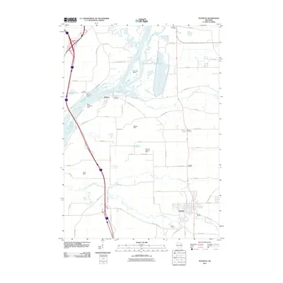
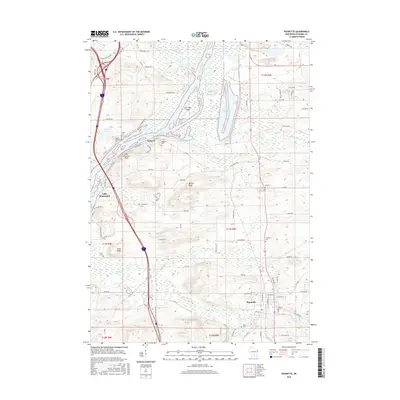
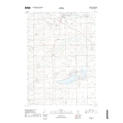
(29)- 1901 Map of Poynette
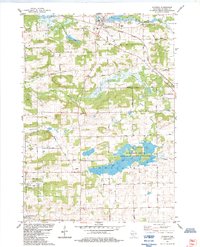
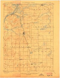 1901 Poynette1901 Print · USGSWisconsin's rural heartland comes into focus at the dawn of the twentieth century, anchored by the railway corridor and the winding river. Researchers can trace the early footprints of Poynette, Wyocena, and Dekorra alongside small junctions like Morrisonville and Arlington.3 unique versions available
 - 1957 Map of Madison, 1967 Print
 1957 Madison1967 Print · USGSSouth-central Wisconsin in the mid-fifties reveals a landscape of industrial hubs and glacial lakes linked by a dense rail and highway network. Genealogists and historians can trace the development of lakeside communities and find notable sites like Badger Ordnance Works and the Horicon National Wildlife Refuge.3 unique versions available
 - 1960 Map of Madison
 1960 Madison1960 Print · USGSCentral and Southern Wisconsin are captured in the late fifties, showing the region as its rail-and-river network matured. Trace the paths of the Soo Line RR or locate family roots near Lake Mendota and Horicon National Wildlife Refuge.2 unique versions available
 - 1962 Map of Poynette, 1964 Print
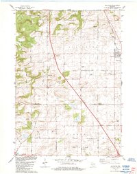
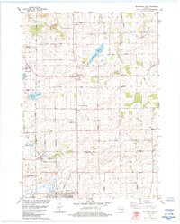
 1962 Poynette1964 Print · USGSIn the early sixties, the farming communities of Columbia and Dane Counties were evolving alongside the new interstate highway. Genealogists can locate family sites and rural landmarks like Hillside Cem, Leeds Center, and the Arlington Prairie Ch.2 unique versions available
 - 1984 Map of Arlington
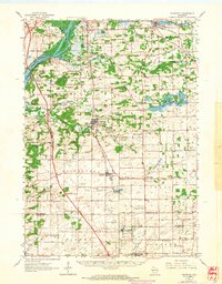
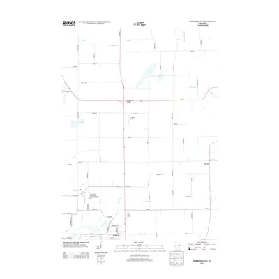
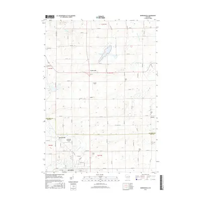
 1984 Arlington1984 Print · USGSThe Wisconsin prairie at the border of Columbia and Dane Counties was a thriving rail and agricultural hub in the 1980s. Local researchers can trace family roots at Arlington Prairie Cem and 100 Mile Grove Cem or follow the historic Chicago and North Western rail line.
 - 1984 Map of Poynette
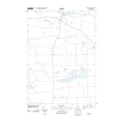
 1984 Poynette1984 Print · USGSColumbia County in the mid-1980s shows a landscape of river bluffs and utility infrastructure along the winding Wisconsin River. Genealogists and local historians can locate old rural landmarks like Inch Ch, Schofield Cem, and the sprawling Poynette State Game Farm.2 unique versions available
 - 1984 Map of Wyocena
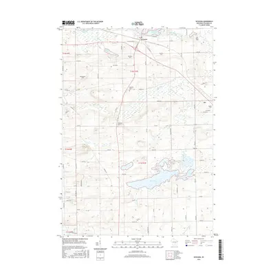
 1984 Wyocena1984 Print · USGSThe village of Wyocena and the surrounding Columbia County wetlands are captured here in the mid-1980s. Local researchers can trace family landmarks like Rocky Run Cem, the Poynette State Game Farm, and the path of the Milwaukee St Paul and Pacific railroad.
 - 1984 Map of Morrisonville
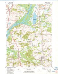
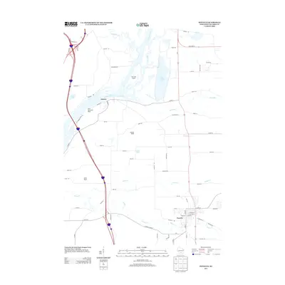
 1984 Morrisonville1984 Print · USGSColumbia and Dane counties come into focus in the mid-1980s, showcasing a landscape of established rail lines and agricultural hamlets. Genealogists can trace family roots at North Windsor Church or locate ancestral plots at Greenwood Cemetery and Zion Cemetery.
 - 1991 Map of Madison
 1991 Madison1991 Print · USGSMadison and its iconic glacial lakes are captured here during a time of steady urban expansion and regional growth. Researchers can trace the mid-century development of the University of Wisconsin, locate family sites near Forest Hill Cem, or explore the footprint of the Badger Army Ammunition Plant.
 - 2010 Map of Morrisonville, 2010 Print
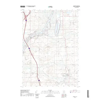
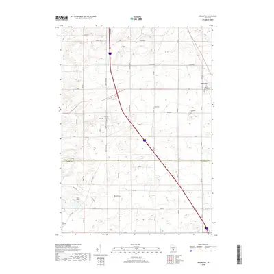
 2010 Morrisonville2010 Print · USGSCovers Arlington, including DeForest, Windsor, and other nearby areas
 - 2010 Map of Arlington, 2010 Print
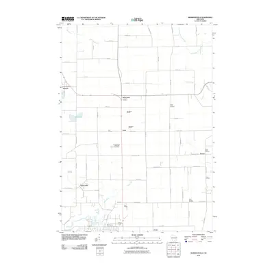
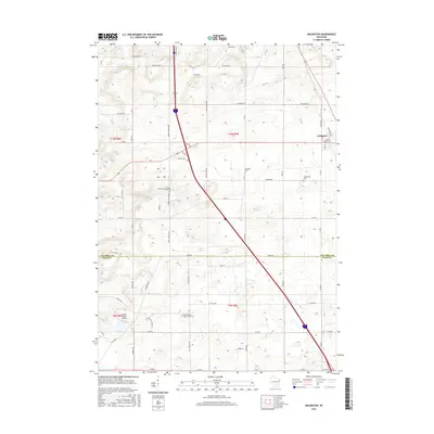
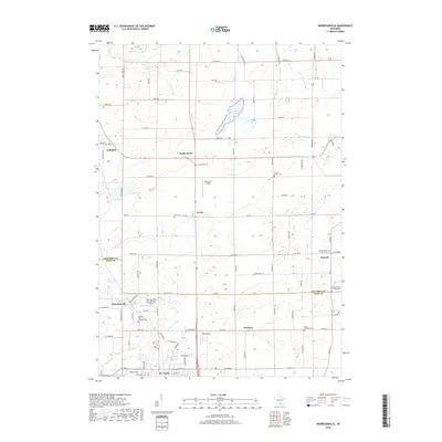
 2010 Arlington2010 Print · USGSCovers Arlington, including DeForest, Vienna, and other nearby areas
 - 2010 Map of Poynette, 2010 Print
 2010 Poynette2010 Print · USGSCovers Arlington, including Poynette, Dekorra, and other nearby areas
 - 2010 Map of Wyocena, 2010 Print
 2010 Wyocena2010 Print · USGSCovers Arlington, including Dekorra, Rio, and other nearby areas
 - 2013 Map of Wyocena, 2013 Print
 2013 Wyocena2013 Print · USGSCovers Arlington, including Dekorra, Rio, and other nearby areas
 - 2013 Map of Arlington, 2013 Print
 2013 Arlington2013 Print · USGSCovers Arlington, including DeForest, Vienna, and other nearby areas
 - 2013 Map of Morrisonville, 2013 Print
 2013 Morrisonville2013 Print · USGSCovers Arlington, including DeForest, Windsor, and other nearby areas
 - 2013 Map of Poynette, 2013 Print
 2013 Poynette2013 Print · USGSCovers Arlington, including Poynette, Dekorra, and other nearby areas
 - 2016 Map of Poynette, 2016 Print
 2016 Poynette2016 Print · USGSCovers Arlington, including Poynette, Dekorra, and other nearby areas
 - 2016 Map of Wyocena, 2016 Print
 2016 Wyocena2016 Print · USGSCovers Arlington, including Dekorra, Rio, and other nearby areas
 - 2016 Map of Morrisonville, 2016 Print
 2016 Morrisonville2016 Print · USGSCovers Arlington, including DeForest, Windsor, and other nearby areas
 - 2016 Map of Arlington, 2016 Print
 2016 Arlington2016 Print · USGSCovers Arlington, including DeForest, Vienna, and other nearby areas
 - 2018 Map of Wyocena, 2018 Print
 2018 Wyocena2018 Print · USGSCovers Arlington, including Dekorra, Rio, and other nearby areas
 - 2018 Map of Poynette, 2018 Print
 2018 Poynette2018 Print · USGSCovers Arlington, including Poynette, Dekorra, and other nearby areas
 - 2018 Map of Morrisonville, 2018 Print
 2018 Morrisonville2018 Print · USGSCovers Arlington, including DeForest, Windsor, and other nearby areas
 - 2018 Map of Arlington, 2018 Print
 2018 Arlington2018 Print · USGSCovers Arlington, including DeForest, Vienna, and other nearby areas
Showing maps 1-25 of 29
Top cities near Arlington
- Madison historical maps
- Sun Prairie historical maps
- Middleton historical maps
- Waunakee historical maps
- DeForest historical maps
- Portage historical maps
See more
Frequently asked questions
- What are the different types of historical maps available for Arlington?
- What is the oldest map of Arlington?
- Where can I purchase historical maps of Arlington for my home or office?
- Where can I download high-res historical maps of Arlington?
- Are there historical topographic maps available for Arlington?
- Is there historical aerial imagery available for Arlington?
- Where are historical maps of Arlington sourced from?