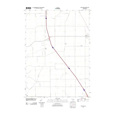
2010 Map of Arlington
USGS Topo · Published 2010About this map
The village of Arlington and the northern edge of Dane anchor this landscape during a period of modern agricultural and transit development. This 2010 survey illustrates the structured grid of rural Wisconsin, where family-named routes like Sanderson Rd and Lopper Dr intersect with larger regional thoroughfares such as County Hwy-Q. Several significant burial sites provide critical data for genealogists, including the Arlington Cemetery, the Evangelical Cemetery to its east, and the Arlington Prairie Cemetery located further south along Smokey Hollow Rd. The terrain is marked by distinctive features such as Thunder Hl and the curious 100 Mile Grove Rd, reflecting the deep-rooted local history and surveying practices of the county. This map serves as an excellent reference for tracing property boundaries and legacy road names in the area.
Find a feature on this map
34 named features on this map. Tap any name to fly to it.
Don’t see what you’re looking for? This feature index may not catch every label — zoom into the map to look around manually.
Map Details
Editions of this 2010 Arlington Map
This is the sole edition of this map. No revisions or reprints were ever made.
Other maps of this area

1890 · Madison
USGS Topo · 1:62,500

1892 · Madison
USGS Topo · 1:62,500

1895 · Baraboo
USGS Topo · 1:62,500

1901 · Poynette
USGS Topo · 1:62,500

1904 · Madison
USGS Topo · 1:62,500

1906 · Madison
USGS Topo · 1:62,500

1907 · Cross Plains
USGS Topo · 1:62,500

1908 · Baraboo
USGS Topo · 1:62,500

1909 · Cross Plains
USGS Topo · 1:62,500

1957 · Madison
USGS Topo · 1:250,000