2000s (21st Century) Maps of Courtland, Wisconsin
Explore 20 historic maps of Courtland from the 2000s (21st Century). These maps offer a rare glimpse into what life looked like during the 2000s — showing old roads, neighborhoods, homes, and landmarks that have changed or disappeared over time.
Whether you're researching your family's past, planning a metal detecting trip, or studying how Courtland's landscape evolved across the 2000s, these high-resolution maps are a powerful tool for exploring the history of this region.
- Focus on a specific era: All maps on this page are from the 2000s, giving you a focused view of this time period.
- See what’s changed: Compare century-old streets, trails, and buildings to today's modern landscape using overlays and satellite layers.
- Research with precision: Use these maps for genealogy, historical research, land use analysis, or educational projects.
- View, download, or print: Maps are fully viewable online in high resolution, and can be downloaded or printed for your own records.
Start exploring Courtland's history through authentic maps from the 2000s. This is your window into the past.
Courtland, WI maps
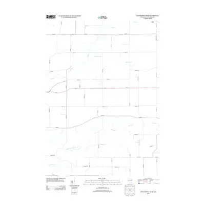
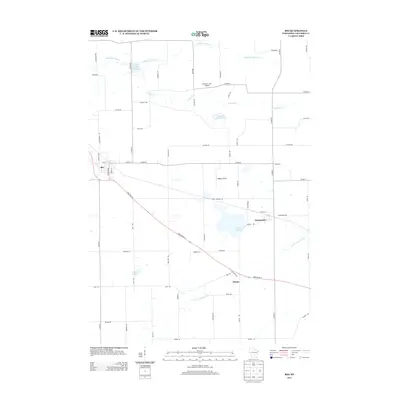
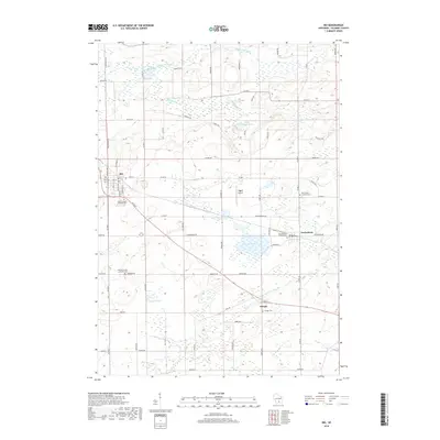
(20)- 2010 Map of Rio, 2010 Print
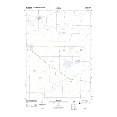 2010 Rio2010 Print · USGSCovers Courtland, including Rio, Otsego, and other nearby areas
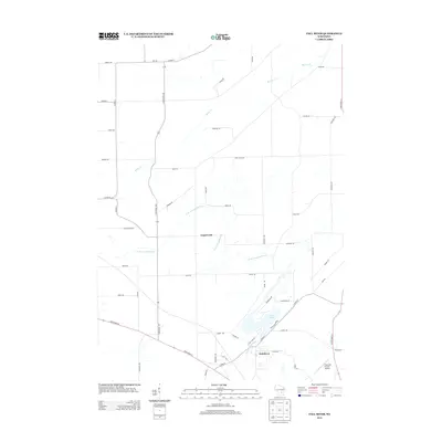
 - 2010 Map of Sand Spring Creek, 2010 Print
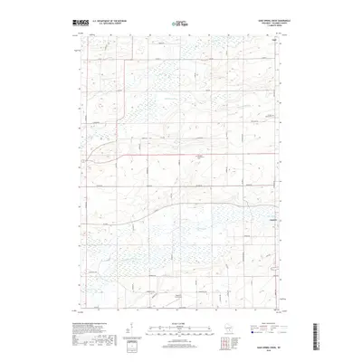
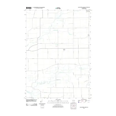 2010 Sand Spring Creek2010 Print · USGSCovers Courtland, including Marcellon, Cambria, and other nearby areas
 - 2010 Map of Fall River, 2010 Print
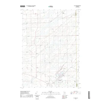
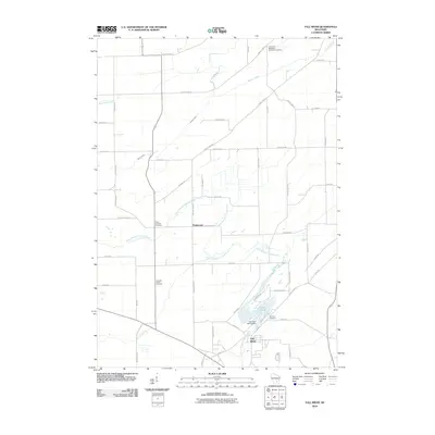 2010 Fall River2010 Print · USGSCovers Courtland, including Fall River, Otsego, and other nearby areas
 - 2010 Map of Randolph, 2010 Print
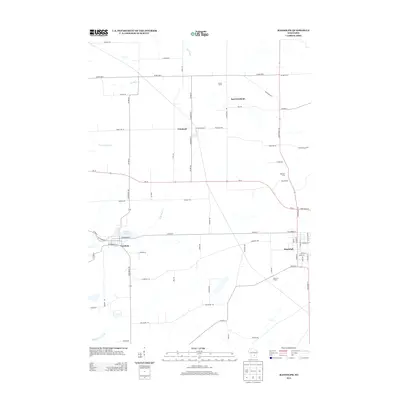
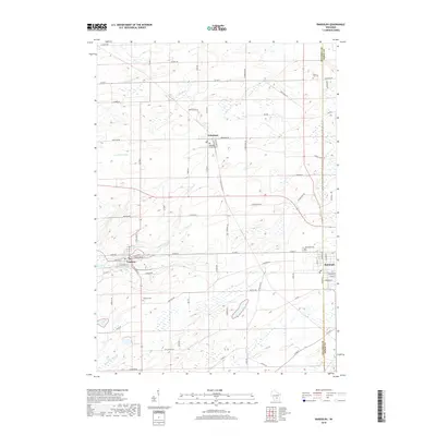
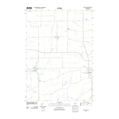 2010 Randolph2010 Print · USGSCovers Courtland, including Cambria, Randolph, and other nearby areas
 - 2013 Map of Sand Spring Creek, 2013 Print
 2013 Sand Spring Creek2013 Print · USGSCovers Courtland, including Marcellon, Cambria, and other nearby areas
 - 2013 Map of Rio, 2013 Print
 2013 Rio2013 Print · USGSCovers Courtland, including Rio, Otsego, and other nearby areas
 - 2013 Map of Fall River, 2013 Print
 2013 Fall River2013 Print · USGSCovers Courtland, including Fall River, Otsego, and other nearby areas
 - 2013 Map of Randolph, 2013 Print
 2013 Randolph2013 Print · USGSCovers Courtland, including Cambria, Randolph, and other nearby areas
 - 2016 Map of Fall River, 2016 Print
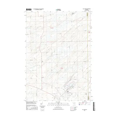 2016 Fall River2016 Print · USGSCovers Courtland, including Fall River, Otsego, and other nearby areas
 - 2016 Map of Rio, 2016 Print
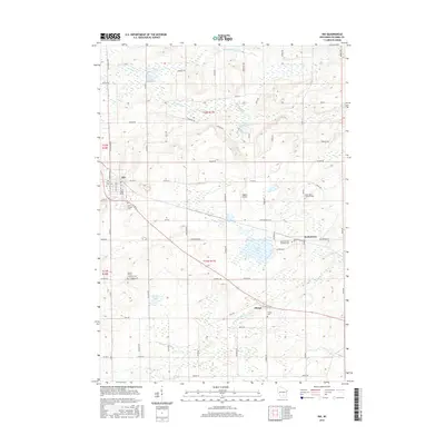 2016 Rio2016 Print · USGSCovers Courtland, including Rio, Otsego, and other nearby areas
 - 2016 Map of Randolph, 2016 Print
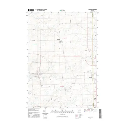 2016 Randolph2016 Print · USGSCovers Courtland, including Cambria, Randolph, and other nearby areas
 - 2016 Map of Sand Spring Creek, 2016 Print
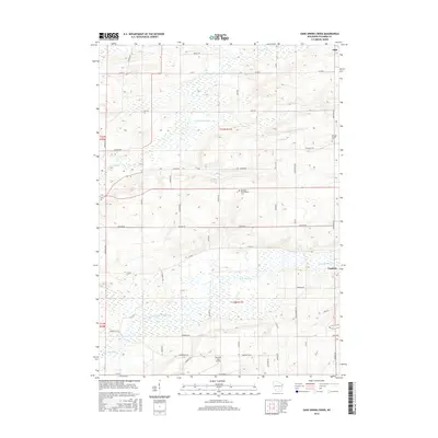 2016 Sand Spring Creek2016 Print · USGSCovers Courtland, including Marcellon, Cambria, and other nearby areas
 - 2018 Map of Randolph, 2018 Print
 2018 Randolph2018 Print · USGSCovers Courtland, including Cambria, Randolph, and other nearby areas
 - 2018 Map of Sand Spring Creek, 2018 Print
 2018 Sand Spring Creek2018 Print · USGSCovers Courtland, including Marcellon, Cambria, and other nearby areas
 - 2018 Map of Fall River, 2018 Print
 2018 Fall River2018 Print · USGSCovers Courtland, including Fall River, Otsego, and other nearby areas
 - 2018 Map of Rio, 2018 Print
 2018 Rio2018 Print · USGSCovers Courtland, including Rio, Otsego, and other nearby areas
 - 2022 Map of Fall River, 2022 Print
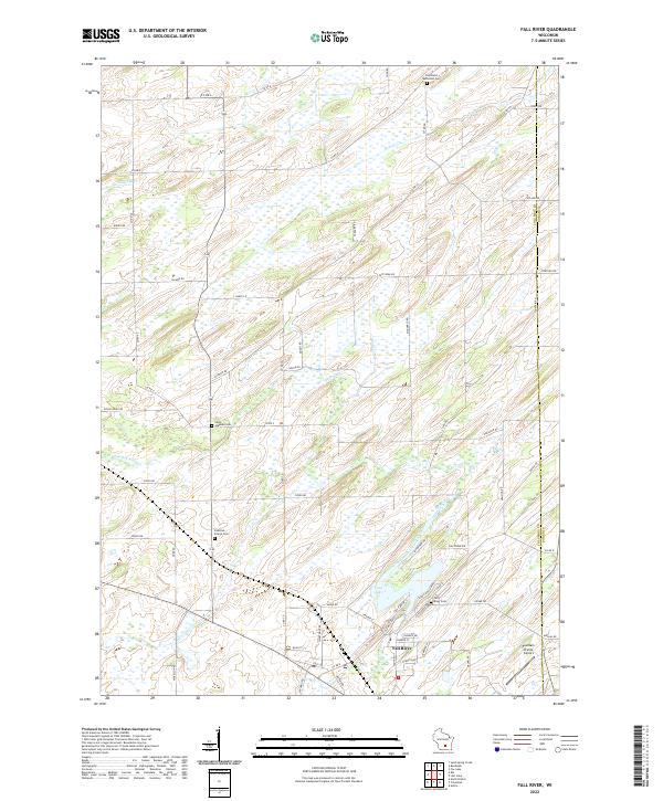 2022 Fall River2022 Print · USGSFall River and the surrounding Columbia County farmland are captured in the early 2020s as the community revolves around the Crawfish River. Researchers can locate several historical burial sites like Saint Stephen Cem and Courtland Methodist Cem, or trace the shoreline of Lazy Lake.
 - 2022 Map of Rio, 2022 Print
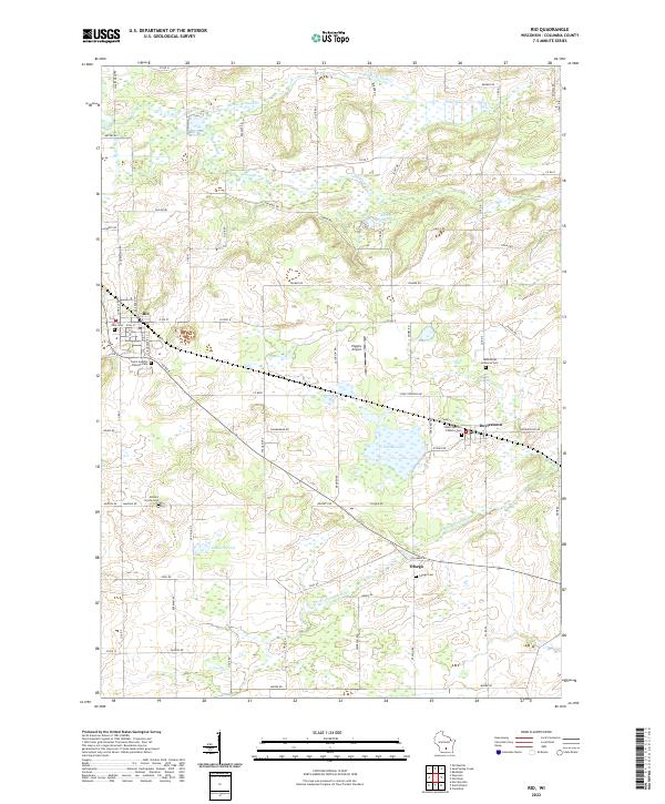 2022 Rio2022 Print · USGSColumbia County’s dairy and wetland landscapes are captured here in the early twenty-first century, centered on the villages of Rio and Doylestown. Genealogists can locate several historic burial sites, including Ohio Cem, Bonnet Prairie Cem, and Otsego Cem.
 - 2022 Map of Randolph, 2022 Print
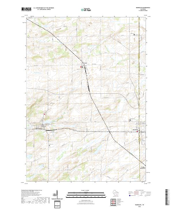 2022 Randolph2022 Print · USGSThe agricultural landscape of Columbia and Dodge counties is mapped in detail here as it appeared in the early 2020s. Genealogists can locate several family landmarks and burial sites including Engedi Cem, Randolph Cem, and the village of Friesland.
 - 2022 Map of Sand Spring Creek, 2022 Print
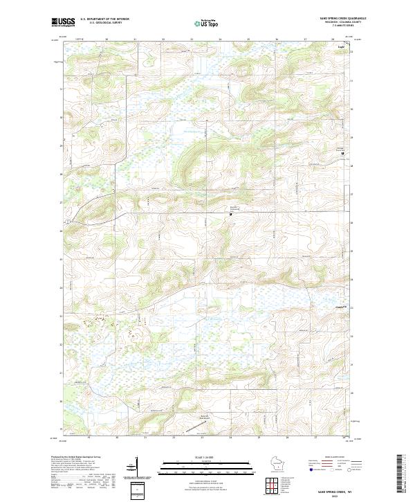 2022 Sand Spring Creek2022 Print · USGSColumbia County at the turn of the 2020s shows a landscape defined by the winding Fox River and extensive marshlands. Family historians can trace local landmarks like Portage Prairie Cem and Rosedale Presbyterian Cem or the rural outskirts of Cambria.
End of results
Showing maps 1-20 of 20
Top cities near Courtland
- Beaver Dam historical maps
- Windsor historical maps
- Columbus historical maps
- Pardeeville historical maps
- Fall River historical maps
- Fox Lake historical maps
See more
Frequently asked questions
- What are the different types of historical maps available for Courtland?
- What is the oldest map of Courtland?
- Where can I purchase historical maps of Courtland for my home or office?
- Where can I download high-res historical maps of Courtland?
- Are there historical topographic maps available for Courtland?
- Is there historical aerial imagery available for Courtland?
- Where are historical maps of Courtland sourced from?