Old Maps of Westford, Wisconsin for Academic Research
Study the evolution of Westford with 25 high-resolution historic maps. Whether you're teaching, researching, or modeling changes in land use, these maps provide essential visual documentation of urban, environmental, and geographic change.
- Analyze long-term change: Track patterns in development, transportation, and natural features.
- Ideal for environmental or urban studies: Support academic projects with primary historical map data.
- Use in the classroom or lab: Educators and researchers rely on these maps to bring historical context to life.
These maps are a powerful tool for teaching, research, and visualizing how Westford has changed over the decades.
Westford, WI maps
(25)- 1955 Map of Randolph, 1956 Print
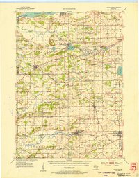 1955 Randolph1956 Print · USGSDodge and Columbia counties are seen here in the mid-fifties, dominated by prairie farming and the rail lines connecting towns like Friesland and Cambria. Researchers can trace the heritage of rural education and faith through sites like Penrhos Sch and Rosedale Ch.2 unique versions available
 - 1955 Map of Columbus, 1956 Print
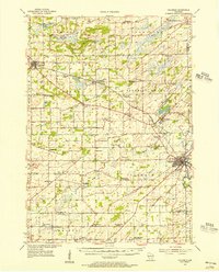 1955 Columbus1956 Print · USGSColumbia County’s dairy and rail corridor is captured here in the mid-fifties, centered on the growing community of Columbus. Genealogists can trace family names at St Joseph Cem or locate the many country schools like McKinley Sch and Hampden Sch.2 unique versions available
 - 1955 Map of Beaver Dam, 1957 Print
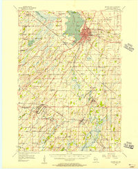 1955 Beaver Dam1957 Print · USGSDodge County's rich agricultural and rail landscape is captured here in the mid-1950s. Genealogists can trace family roots through dozens of rural landmarks, from St Columbkille Cem to local schoolhouses like English Prairie Sch and Jackson Sch.2 unique versions available
 - 1955 Map of Fox Lake, 1957 Print
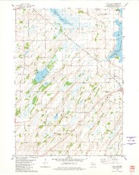
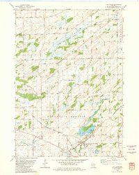
 1955 Fox Lake1957 Print · USGSIn the mid-1950s, the Dodge and Green Lake County borderlands were defined by a high density of one-room schoolhouses and rail-dependent towns. Trace family roots at Tichora Cem or follow the old Milwaukee Road tracks through Markesan and Fox Lake Junction.
 - 1957 Map of Madison, 1967 Print
 1957 Madison1967 Print · USGSSouth-central Wisconsin in the mid-fifties reveals a landscape of industrial hubs and glacial lakes linked by a dense rail and highway network. Genealogists and historians can trace the development of lakeside communities and find notable sites like Badger Ordnance Works and the Horicon National Wildlife Refuge.3 unique versions available
 - 1960 Map of Madison
 1960 Madison1960 Print · USGSCentral and Southern Wisconsin are captured in the late fifties, showing the region as its rail-and-river network matured. Trace the paths of the Soo Line RR or locate family roots near Lake Mendota and Horicon National Wildlife Refuge.2 unique versions available
 - 1975 Map of Beaver Dam NE, 1977 Print
 1975 Beaver Dam NE1977 Print · USGSDodge County, Wisconsin, comes into sharp focus in the mid-1970s, showing the intersection of lakeside development and intensive agriculture. Genealogists and local historians can trace the growth of Beaver Dam and its relationship to the shores of Beaver Dam Lake.
 - 1980 Map of Fond Du Lac
 1980 Fond Du Lac1980 Print · USGSThe Fox River Valley and Horicon Marsh meet here during the late twentieth century, showing a transition from lakeside industry to glacial conservation. Genealogists can locate family sites at Estabrook Cem or trace the rail lines through Ripon and Waupun.
 - 1980 Map of Lost Lake
 1980 Lost Lake1980 Print · USGSThe rolling lands of Dodge County in the late 1970s reveal a quiet landscape of lakeside settlements and rural townships. Genealogists can locate several family burial grounds including Bethany Cemetery and Salem Cemetery near the waters of Lost Lake.
 - 1980 Map of Fall River, 1981 Print
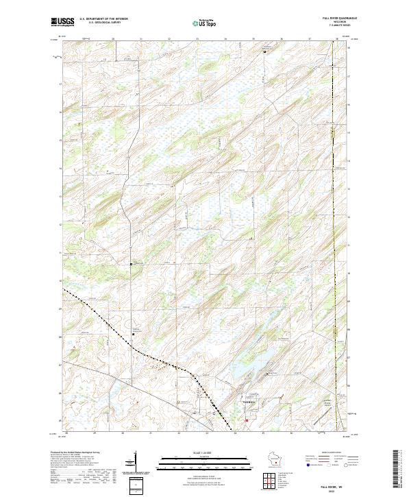
 1980 Fall River1981 Print · USGSFall River and the surrounding Columbia County wetlands appear in this 1980s-era survey during a time of steady agricultural and rail activity. Trace local family history and rural development through landmarks like St Stephen Cem, Courtland Ch, and the Milwaukee Road rail line.
 - 1980 Map of Randolph, 1981 Print
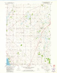
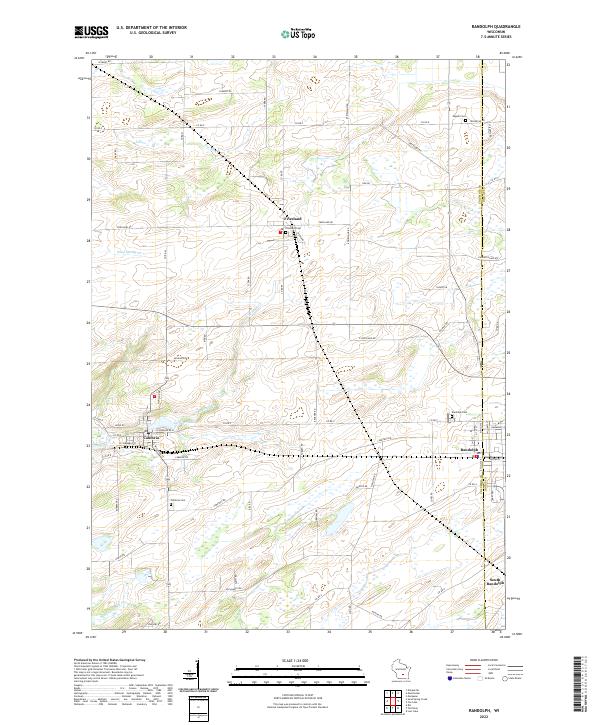
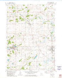 1980 Randolph1981 Print · USGSDodge and Columbia Counties at the start of the eighties show a landscape of thriving agricultural villages and critical rail junctions. Genealogists can locate family landmarks like Blaen Y Cae Cem or trace rural farm-to-market routes like Friesland Road and Vaughn Road.
 - 1980 Map of Fox Lake, 1981 Print
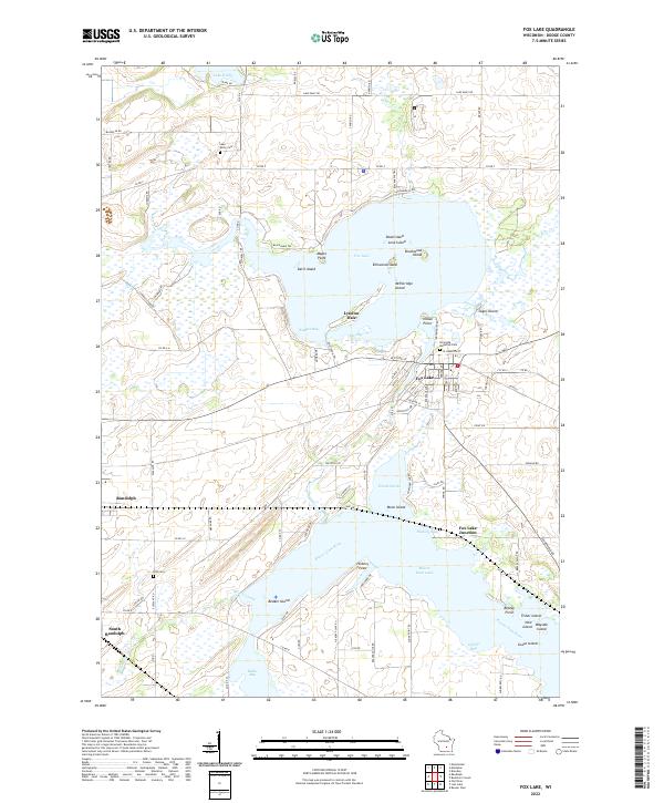
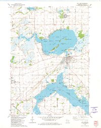 1980 Fox Lake1981 Print · USGSDodge County's lake country is captured here during the early 1980s, centered on the historic rail connections and island-dotted waters of Fox Lake. Researchers can trace old family names at Riverside Cem or locate the junction of the Chicago and North Western near South Randolph.
 - 1980 Map of Buckhorn Corner, 1981 Print
 1980 Buckhorn Corner1981 Print · USGSDodge County dairy country is captured here during the 1980s, showcasing a landscape of family farms and wetland conservation. Genealogists can locate family sites near Trenton Center Cem, the Trenton Sch, and the St John Ch.
 - 1980 Map of Beaver Dam, 1981 Print
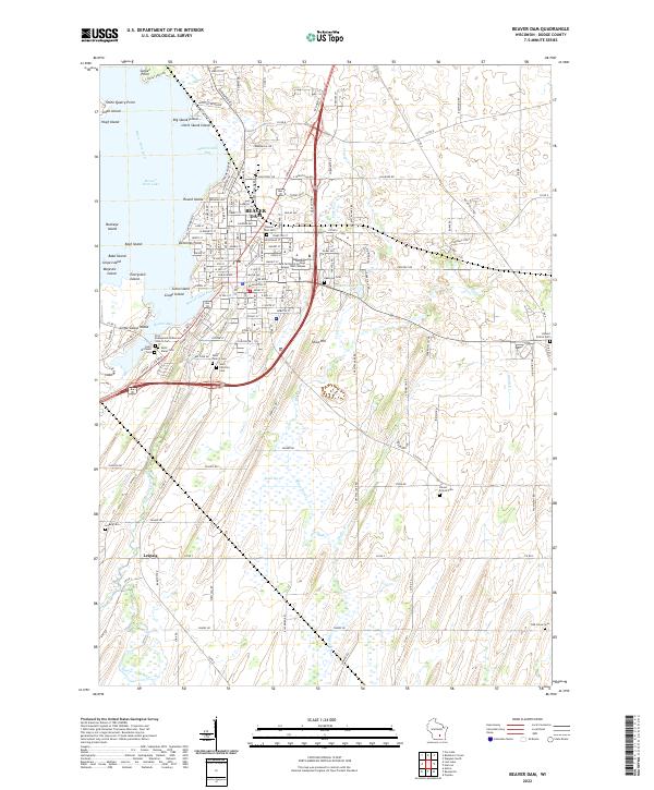
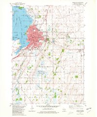 1980 Beaver Dam1981 Print · USGSDodge County's river-and-lake geography is on full display in the early 1980s as the town of Beaver Dam continues its growth. Genealogists and historians can locate numerous rural burial grounds like St Marys Cemetery and trace the campus of Wayland Academy.
 - 1984 Map of Oconomowoc, 1985 Print
 1984 Oconomowoc1985 Print · USGSSoutheast Wisconsin in the mid-eighties shows a landscape defined by its glacial heritage and expanding metropolitan corridors. Genealogists and historians can trace the development of lakeside communities like Oconomowoc and Pewaukee, or find established settlements such as Watertown and Beaver Dam.
 - 1985 Map of Wisconsin Dells
 1985 Wisconsin Dells1985 Print · USGSCentral Wisconsin in the mid-eighties was a landscape of intricate river bends, rail junctions, and sprawling marshlands. Researchers can trace historic routes along the Soo Line or locate family landmarks near Lyndon Station, Buffalo Lake, and Puckaway Lake.
 - 1990 Map of Wisconsin Dells, 1991 Print
 1990 Wisconsin Dells1991 Print · USGSCentral Wisconsin's river valleys and lake country are captured in detail here during the late twentieth century. Researchers can trace the rail-and-water geography connecting Wisconsin Dells and Portage with landmarks like Blackhawk Island and Buffalo Lake.
 - 1991 Map of Oconomowoc
 1991 Oconomowoc1991 Print · USGSSoutheastern Wisconsin in the early nineties shows a landscape of glacial lakes and growing suburbs. Trace local history through Aztalan State Park, Carroll College, and the sprawling Horicon Marsh State Wildlife Area.
 - 1991 Map of Madison
 1991 Madison1991 Print · USGSMadison and its iconic glacial lakes are captured here during a time of steady urban expansion and regional growth. Researchers can trace the mid-century development of the University of Wisconsin, locate family sites near Forest Hill Cem, or explore the footprint of the Badger Army Ammunition Plant.
 - 2022 Map of Lost Lake, 2022 Print
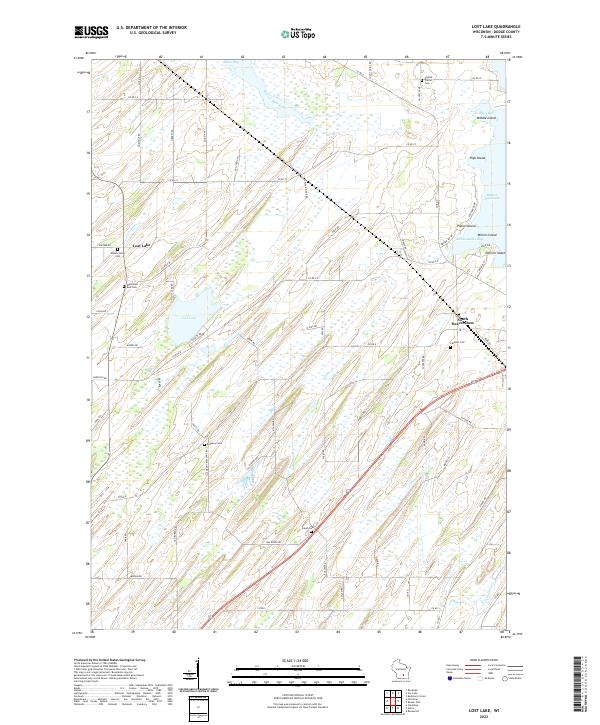 2022 Lost Lake2022 Print · USGSDodge County, Wisconsin, is shown here in the early 2020s, characterized by the intricate wetlands and shorelines of Lost Lake and Beaver Dam Lake. Researchers can trace old family burial grounds like English Prairie Cem and Wanderers Rest Cem or explore the named islands of the lake, including Poplar Island and Millers Island.
 - 2022 Map of Buckhorn Corner, 2022 Print
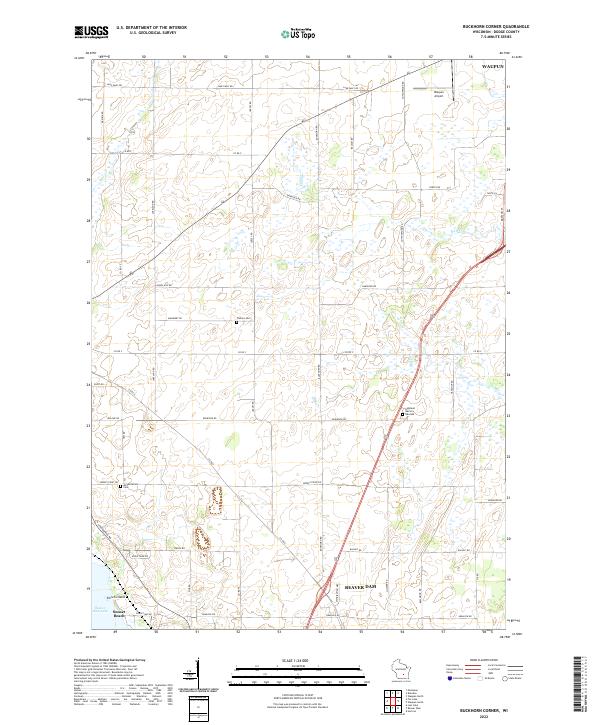 2022 Buckhorn Corner2022 Print · USGSThe rural corridor between Waupun and Beaver Dam is captured here in the early twenty-first century, showing a landscape of scattered family farms and quiet waterways. Researchers can trace local heritage at Trenton Cem, Annunciation Cem, or follow the shoreline of Beaver Dam Lake.
 - 2022 Map of Fall River, 2022 Print
 2022 Fall River2022 Print · USGSFall River and the surrounding Columbia County farmland are captured in the early 2020s as the community revolves around the Crawfish River. Researchers can locate several historical burial sites like Saint Stephen Cem and Courtland Methodist Cem, or trace the shoreline of Lazy Lake.
 - 2022 Map of Randolph, 2022 Print
 2022 Randolph2022 Print · USGSThe agricultural landscape of Columbia and Dodge counties is mapped in detail here as it appeared in the early 2020s. Genealogists can locate several family landmarks and burial sites including Engedi Cem, Randolph Cem, and the village of Friesland.
 - 2022 Map of Fox Lake, 2022 Print
 2022 Fox Lake2022 Print · USGSDodge County at the start of the 2020s shows a landscape of interconnected lakes and agricultural communities. Local historians can trace the development of Fox Lake and Randolph or locate specific landmarks like Lake Emily Cem and the Trestle Works.
 - 2022 Map of Beaver Dam, 2022 Print
 2022 Beaver Dam2022 Print · USGSBeaver Dam is shown in detail during the early 2020s, centered on its namesake lake and industrial corridors. Genealogists can trace family plots across numerous sites like Saint Peters Cem, Beaver Dam Cem, and the rural Leipsig Cem.
End of results
Showing maps 1-25 of 25
Top cities near Westford
- Beaver Dam historical maps
- Columbus historical maps
- Waupun historical maps
- Juneau historical maps
- Fall River historical maps
- Fox Lake historical maps
See more
Top neighborhoods of Westford
Frequently asked questions
- What are the different types of historical maps available for Westford?
- What is the oldest map of Westford?
- Where can I purchase historical maps of Westford for my home or office?
- Where can I download high-res historical maps of Westford?
- Are there historical topographic maps available for Westford?
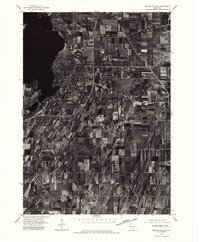
- Is there historical aerial imagery available for Westford?
- Where are historical maps of Westford sourced from?