Old Maps of Jacksonport, Wisconsin for Metal Detecting
Plan your next treasure hunt with 35 historic maps of Jacksonport. Find old homesites, ghost towns, trails, and gathering spots that may be lost to time — perfect for identifying promising metal detecting locations.
- Locate forgotten sites: Uncover places like long-lost settlements, abandoned rail lines, or gathering spots.
- Plan better hunts: Use map overlays combined with LiDAR or satellite views to narrow in on historically rich areas.
- Made for detectorists: Thousands of hobbyists use these maps to discover relics, coins, and hidden history.
Use these historic maps to boost your research and find new opportunities beneath the surface of Jacksonport.
Jacksonport, WI maps
(35)- 1954 Map of Escanaba, 1967 Print
 1954 Escanaba1967 Print · USGSThe Upper Peninsula and Door County shorelines meet here in the mid-fifties, showing the vital maritime and timber networks of the Great Lakes. Researchers can trace historic rail lines, old fire lookouts like the Stonington Fire Tower, and island settlements such as Washington Island.2 unique versions available
 - 1954 Map of Manitowoc, 1968 Print
 1954 Manitowoc1968 Print · USGSLake Michigan served as a vital transit corridor in the mid-fifties, with car and auto ferries linking the industrial ports of Wisconsin to the Michigan timberlands. Genealogists and maritime historians can trace active ferry routes like the Ann Arbor Railway Car and Auto Ferry and locate early settlements from Brussels to Algoma.2 unique versions available
 - 1957 Map of Escanaba
 1957 Escanaba1957 Print · USGSThe Upper Peninsula and Door County shorelines meet in the mid-fifties, capturing a landscape of timber, iron, and maritime trade. Genealogists and local historians can trace the Chicago & North Western RR through settlements like Hermansville or locate St Vitals Church and the Potawatome Indian Reservation.
 - 1958 Map of Escanaba
 1958 Escanaba1958 Print · USGSNorthern Lake Michigan maritime commerce and timberlands are captured here in the mid-fifties. Genealogists and historians can trace rail networks like the Escanaba and Lake Superior or locate island settlements such as Detroit Harbor and Fish Creek.
 - 1958 Map of Manitowoc
 1958 Manitowoc1958 Print · USGSLake Michigan and its shorelines are shown in the late fifties when maritime transport defined the region. Researchers can trace the routes of the Ann Arbor Railroad Ferry or locate old settlements like St. Nazianz, Rostock, and Two Creeks.
 - 1960 Map of Sturgeon Bay, 1962 Print
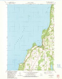
 1960 Sturgeon Bay1962 Print · USGSThe Door County peninsula in the early sixties shows a bustling maritime corridor defined by the Sturgeon Bay ship canal. Researchers can locate numerous vanished country schoolhouses like Hainesville Sch, the Ahnapee and Western rail line, and family landmarks like Monument Point.
 - 1960 Map of Jacksonport, 1962 Print
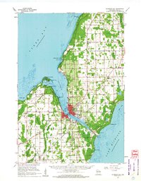
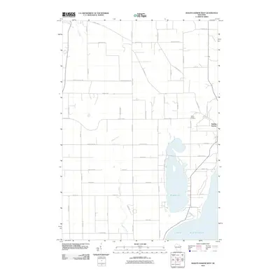
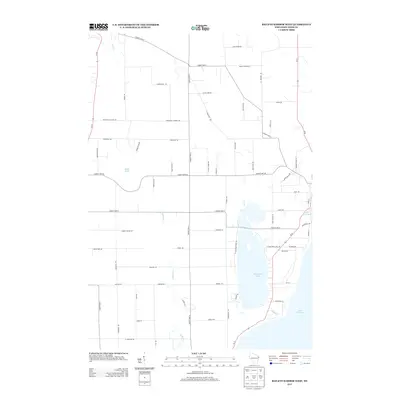
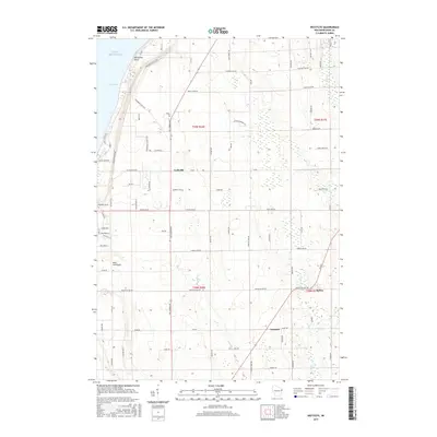
 1960 Jacksonport1962 Print · USGSThe Door Peninsula shoreline comes alive in the early sixties, showing the vital coastal settlements and inland crossroads that defined the area. Genealogists and local historians can locate family landmarks like the Zion Ch, Fairview Sch, and the Jacksonport Cem.
 - 1960 Map of Sister Bay, 1962 Print
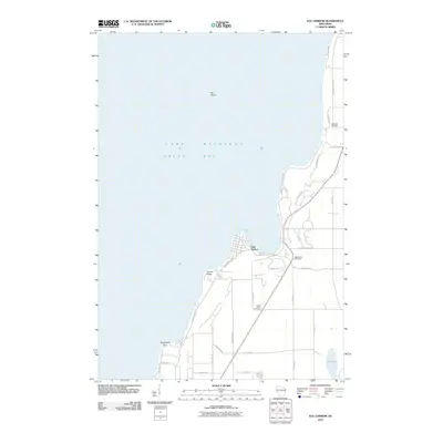
 1960 Sister Bay1962 Print · USGSThe Door Peninsula's mid-century landscape is defined here by its coastal villages and timbered interiors during the 1960s. Researchers can locate local landmarks like the Settlement School, Boynton Chapel, and the historic Cana Island light.2 unique versions available
 - 1961 Map of Chambers Island, 1963 Print
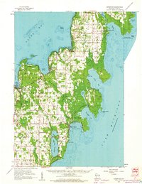
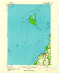 1961 Chambers Island1963 Print · USGSThe Door Peninsula and its surrounding islands are captured here in the early sixties, showing a maritime landscape of isolated lighthouses and small coastal settlements. Genealogists and local historians can locate St Johns Cem, Sunny Point Sch, and the Chambers Island Lighthouse.2 unique versions available
 - 1981 Map of Institute
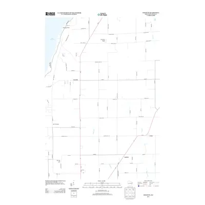
 1981 Institute1981 Print · USGSDoor County's rural heartland and Green Bay shoreline are frozen in time during the early eighties. Genealogists and local historians can trace family land via red field lines and locate community centers like Institute, St Johns Ch, and the State Agricultural Experimental Station.
 - 1981 Map of Marinette, 1982 Print
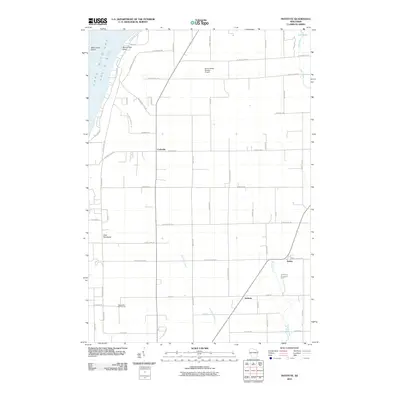
 1981 Marinette1982 Print · USGSThe Menominee River valley and Door County peninsula are captured here in the early 1980s, showcasing the region's timber and maritime foundations. Researchers can trace historic shorelines from Fish Creek to Deathdoor Bluff or locate inland landmarks like Lake Noquebay and Kangaroo Lake.
 - 1982 Map of Jacksonport
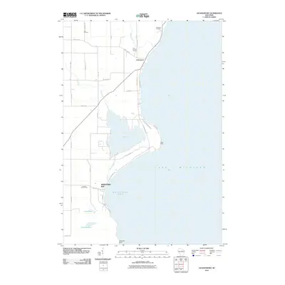
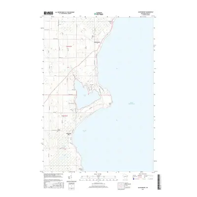
 1982 Jacksonport1982 Print · USGSThe Door County coastline near Jacksonport comes to life in the early 1980s, revealing a landscape of lakefront parks and rural parishes. Genealogists and historians can trace family sites at Whitefish Bay Cem or explore the geography of Clark Lake and Whitefish Dunes State Park.
 - 1982 Map of Baileys Harbor West, 1983 Print
 1982 Baileys Harbor West1983 Print · USGSThe Door County peninsula in the early eighties shows a landscape of wetlands and thriving local communities. Genealogists and researchers can trace family lands along Juddville Road, locate Zion Ch, or explore the shores of Kangaroo Lake.
 - 1982 Map of Egg Harbor, 1983 Print
 1982 Egg Harbor1983 Print · USGSDoor County's shoreline in the early 1980s showcases a transition from rural farmland to a coastal getaway. Genealogists can trace family names at Egg Harbor Cem and Juddville Cem or locate old homesteads near Horseshoe Bay.
 - 1984 Map of Sturgeon Bay, 1985 Print
 1984 Sturgeon Bay1985 Print · USGSDoor Peninsula and the Kewaunee coast are documented here in the mid-eighties, showing the deep-water harbor at Sturgeon Bay and the rural agricultural interior. Genealogists can trace family roots through crossroads towns like Kolberg, Duvall, and Sugar Bush.2 unique versions available
 - 2010 Map of Baileys Harbor West, 2010 Print
 2010 Baileys Harbor West2010 Print · USGSCovers Jacksonport, including Baileys Harbor, Juddville, and other nearby areas
 - 2010 Map of Egg Harbor, 2010 Print
 2010 Egg Harbor2010 Print · USGSCovers Jacksonport, including Egg Harbor, Egg Harbor, and other nearby areas
 - 2010 Map of Institute, 2010 Print
 2010 Institute2010 Print · USGSCovers Jacksonport, including Carlsville, Egg Harbor, and other nearby areas
 - 2010 Map of Jacksonport, 2010 Print
 2010 Jacksonport2010 Print · USGSCovers Jacksonport, including West Jacksonport, Whitefish Bay, and other nearby areas
 - 2013 Map of Baileys Harbor West, 2013 Print
 2013 Baileys Harbor West2013 Print · USGSCovers Jacksonport, including Baileys Harbor, Juddville, and other nearby areas
 - 2013 Map of Egg Harbor, 2013 Print
 2013 Egg Harbor2013 Print · USGSCovers Jacksonport, including Egg Harbor, Egg Harbor, and other nearby areas
 - 2013 Map of Jacksonport, 2013 Print
 2013 Jacksonport2013 Print · USGSCovers Jacksonport, including West Jacksonport, Whitefish Bay, and other nearby areas
 - 2013 Map of Institute, 2013 Print
 2013 Institute2013 Print · USGSCovers Jacksonport, including Carlsville, Egg Harbor, and other nearby areas
 - 2015 Map of Institute, 2015 Print
 2015 Institute2015 Print · USGSCovers Jacksonport, including Carlsville, Egg Harbor, and other nearby areas
 - 2015 Map of Jacksonport, 2015 Print
 2015 Jacksonport2015 Print · USGSCovers Jacksonport, including West Jacksonport, Whitefish Bay, and other nearby areas
Showing maps 1-25 of 35
Top cities near Jacksonport
- Sturgeon Bay historical maps
- Baileys Harbor historical maps
- Sister Bay historical maps
- Ephraim historical maps
- Egg Harbor historical maps
Top neighborhoods of Jacksonport
Frequently asked questions
- What are the different types of historical maps available for Jacksonport?
- What is the oldest map of Jacksonport?
- Where can I purchase historical maps of Jacksonport for my home or office?
- Where can I download high-res historical maps of Jacksonport?
- Are there historical topographic maps available for Jacksonport?
- Is there historical aerial imagery available for Jacksonport?
- Where are historical maps of Jacksonport sourced from?