2010s Maps of Eau Galle, Wisconsin
Explore 24 historic maps of Eau Galle from the 2010s. These maps offer a rare glimpse into what life looked like during the 2010s — showing old roads, neighborhoods, homes, and landmarks that have changed or disappeared over time.
Whether you're researching your family's past, planning a metal detecting trip, or studying how Eau Galle's landscape evolved across the 2010s, these high-resolution maps are a powerful tool for exploring the history of this region.
- Focus on a specific era: All maps on this page are from the 2010s, giving you a focused view of this time period.
- See what’s changed: Compare century-old streets, trails, and buildings to today's modern landscape using overlays and satellite layers.
- Research with precision: Use these maps for genealogy, historical research, land use analysis, or educational projects.
- View, download, or print: Maps are fully viewable online in high resolution, and can be downloaded or printed for your own records.
Start exploring Eau Galle's history through authentic maps from the 2010s. This is your window into the past.
Eau Galle, WI maps
(24)- 2010 Map of Weston, 2010 Print
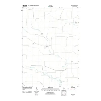 2010 Weston2010 Print · USGSDunn County at the start of the 2010s reveals a landscape of managed waterways and rural crossroads. Genealogists can locate family sites near Irving Creek Cemetery or trace the winding Eau Galle River past Weston and Comfort.
 - 2010 Map of Arkansaw, 2010 Print
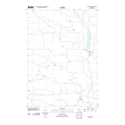 2010 Arkansaw2010 Print · USGSWestern Wisconsin's river valleys come into focus in this recent survey of the Arkansaw and Eau Galle region. Local historians can trace family roots through sites like Saint Josephs Cemetery and identify landmarks like the Eau Galle WP 193 Dam or The Hogback.
 - 2010 Map of Spring Valley, 2010 Print
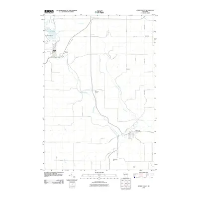 2010 Spring Valley2010 Print · USGSSpring Valley and Elmwood appear at the start of the 21st century as the Eau Galle River defines the local terrain. Genealogists can trace family landmarks and rural resting places at Saint Michael Cemetery, Oak Ridge Cemetery, or the hamlet of Hatchville.
 - 2010 Map of Plum City, 2010 Print
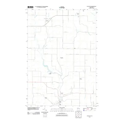 2010 Plum City2010 Print · USGSThe village of Plum City and the surrounding coulees are shown here in the early twenty-first century, before recent shifts in rural land use. Researchers can trace family history at Poplar Hill Cemetery or locate old community centers like Rock Elm and Exile.
 - 2010 Map of Durand North, 2010 Print
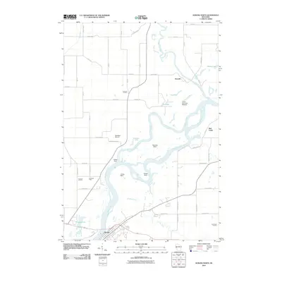 2010 Durand North2010 Print · USGSThe Chippewa River valley south of Dunnville is shown here in the early twenty-first century, featuring its intricate network of sloughs and bends. Genealogists and local historians can trace family sites at Evergreen Cemetery or Waubeek Cemetery and locate landmarks like Waubeek Mound and Schlosser Field.
 - 2010 Map of Menomonie South, 2010 Print
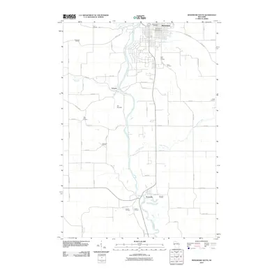 2010 Menomonie South2010 Print · USGSThe Red Cedar River valley south of Menomonie was a well-settled agricultural corridor by the early twenty-first century. Genealogists can trace local family history through numerous sites like Ford Cemetery, Saint Johns Cemetery, and Grandview Cemetery.
 - 2013 Map of Arkansaw, 2013 Print
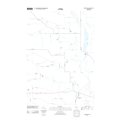 2013 Arkansaw2013 Print · USGSThe rural river valleys of Dunn County are captured here in the early twenty-first century as the Eau Galle River winds toward the settlement of Arkansaw. Researchers can trace old family landmarks and local terrain features like Joe Gray Coulee, The Hogback, and Coburn Ridge.
 - 2013 Map of Spring Valley, 2013 Print
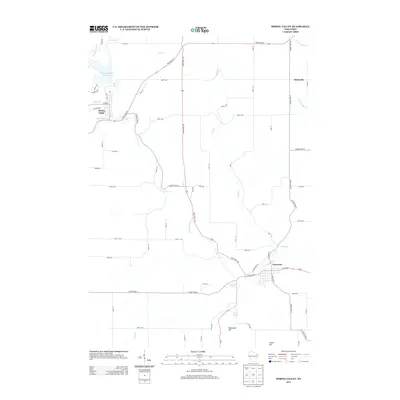 2013 Spring Valley2013 Print · USGSWisconsin's river valley communities thrive along the Eau Galle River in this detailed 2013 survey. Local researchers can trace the landscape from Spring Valley down to Elmwood, locating natural landmarks like Franklin Spring and Hammond Hill.
 - 2013 Map of Plum City, 2013 Print
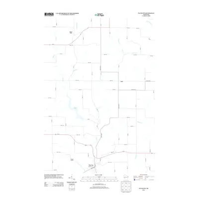 2013 Plum City2013 Print · USGSPierce and Pepin counties are shown during the early twenty-first century, centered on the rural crossroads of Plum City. Researchers can trace the local stream network from Nugget Lake 18 through Wildcat Coulee to small settlements like Rock Elm and Exile.
 - 2013 Map of Weston, 2013 Print
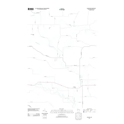 2013 Weston2013 Print · USGSDunn County farmland and the river valleys of the Eau Galle are captured here during the early twenty-first century. Genealogists and local researchers can trace the roads around the settlement of Comfort or locate Connell's Sunridge Orchard near the banks of Knights Cr.
 - 2013 Map of Menomonie South, 2013 Print
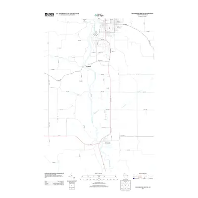 2013 Menomonie South2013 Print · USGSDunn County at the start of the 2010s shows a landscape shaped by the winding Red Cedar River and rural farm-to-market roads. Local historians can trace the layouts of Downsville and Irvington, or locate landmarks like The Pinnacle and Little Elk Cr.
 - 2013 Map of Durand North, 2013 Print
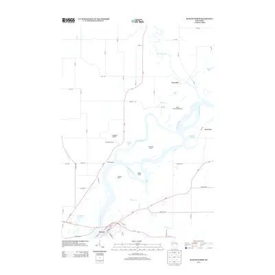 2013 Durand North2013 Print · USGSThe Chippewa and Red Cedar rivers converge in this 2013 Wisconsin landscape, forming a vast network of islands and sloughs. Researchers can trace the riverfront layout of Durand or locate landmarks like Waubeek Mound and the Lower Dunnville Bottoms.
 - 2015 Map of Menomonie South, 2015 Print
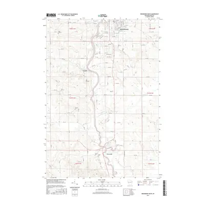 2015 Menomonie South2015 Print · USGSDunn County in the mid-2010s shows the bustling university town of Menomonie giving way to the quiet river valley settlements of Irvington and Downsville. Genealogists can locate several family and community landmarks, including Saint Johns Cem, Grandview Cem, and The Pinnacle.
 - 2015 Map of Weston, 2015 Print
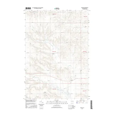 2015 Weston2015 Print · USGSWisconsin's driftless-edge topography is on full display in the mid-2010s, showing a land of deep valleys and rural crossroads. Trace family roots at the Irving Creek Cem or follow the waters of the Eau Galle River past Weston.
 - 2015 Map of Plum City, 2015 Print
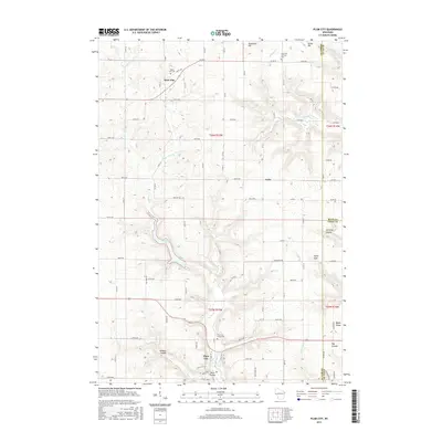 2015 Plum City2015 Print · USGSWestern Wisconsin's coulee country is documented here in the mid-2010s, showing a landscape of ridge-top farms and valley settlements. Genealogists can locate family sites near Plum City Union Cem, Rock Elm, and the rural crossroads of Exile.
 - 2015 Map of Spring Valley, 2015 Print
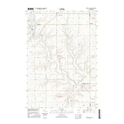 2015 Spring Valley2015 Print · USGSPierce and Saint Croix Counties are shown in the mid-2010s during a period of established rural settlement along the Eau Galle River. Researchers can locate family sites at Saint Michael Cem, Hatchville, and the historic mining area near Mines Cr.
 - 2015 Map of Arkansaw, 2015 Print
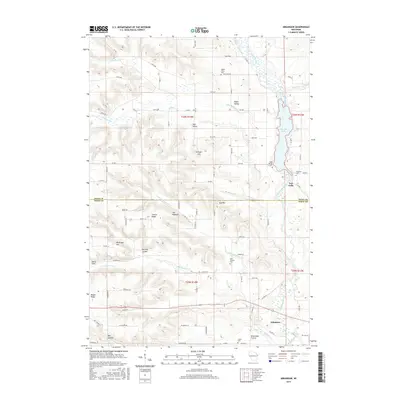 2015 Arkansaw2015 Print · USGSThe river valleys and ridge-top farms of West Central Wisconsin are captured here in the mid-2010s. Researchers can trace family history at Saint Josephs Cem or locate old homestead sites near The Hogback and Dead Lake Prairie.
 - 2015 Map of Durand North, 2015 Print
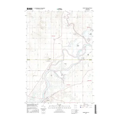 2015 Durand North2015 Print · USGSThe confluence of the Red Cedar and Chippewa rivers defines the landscape of Dunn and Pepin counties in this 2015 survey. Researchers can trace riverfront topography and local burial sites like Evergreen Cem and Waubeek Cem near the communities of Durand and Dunnville.
 - 2018 Map of Menomonie South, 2018 Print
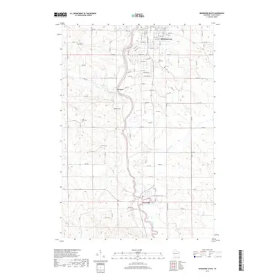 2018 Menomonie South2018 Print · USGSDunn County's river-carved landscape is documented in the late twenty-teens as residential growth extends south from the county seat. Genealogists can trace family heritage across numerous burial sites including Grandview, Peace, and Rosehill cemeteries.
 - 2018 Map of Durand North, 2018 Print
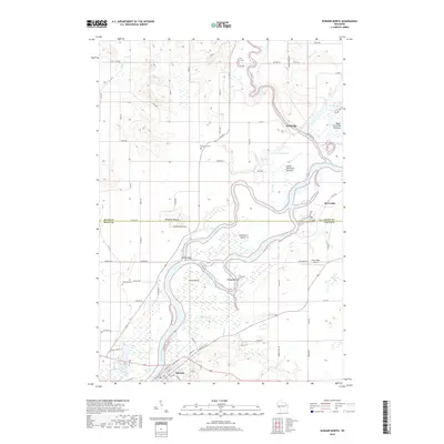 2018 Durand North2018 Print · USGSThe confluence of the Chippewa and Red Cedar rivers defines this rural Wisconsin region in the late 2010s. Researchers can trace land features from Waubeek Mound to Yellow Bank and locate family history at Waubeek Cem or Evergreen Cem.
 - 2018 Map of Spring Valley, 2018 Print
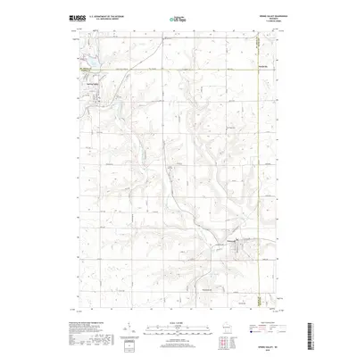 2018 Spring Valley2018 Print · USGSPierce and Saint Croix counties are captured in the late twenty-teens as the Eau Galle River winds through its carved valley. Researchers can locate family sites at Saint Michael Cem or trace rural landmarks like Hammond Hill and Spring Valley Lake.
 - 2018 Map of Arkansaw, 2018 Print
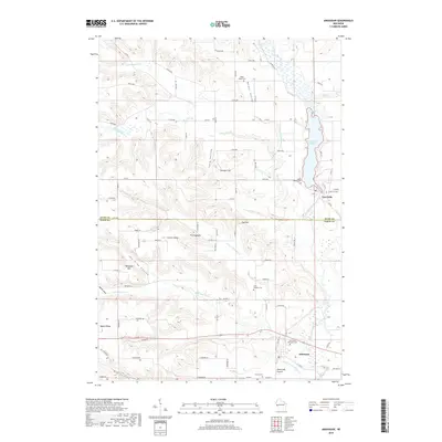 2018 Arkansaw2018 Print · USGSDunn and Pepin counties are captured here in the late twenty-tens, showing a landscape defined by the winding Eau Galle River and its rugged coulees. Researchers can locate numerous family burial grounds including Saint Josephs Cem, French Cem, and Weber Valley Cem.
 - 2018 Map of Weston, 2018 Print
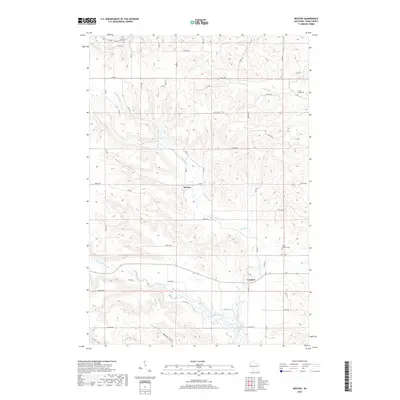 2018 Weston2018 Print · USGSDunn County farmland and river valleys are captured here in the late twenty-first century as the area maintains its quiet rural character. Genealogists and local historians can locate family burial sites at Lower Weston Cem and trace the paths of the Eau Galle River and Knights Cr.
 - 2018 Map of Plum City, 2018 Print
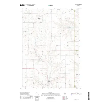 2018 Plum City2018 Print · USGSPierce and Pepin counties are shown here in the late twenty-teens, where ridge-and-valley terrain dictates the layout of rural life. Genealogists can locate family burial sites at Plum City Union Cem or trace old homestead routes near Exile and Maple Ridge.
End of results
Showing maps 1-24 of 24
Top cities near Eau Galle
- Menomonie historical maps
- Tainter historical maps
- Red Cedar historical maps
- Durand historical maps
- Red Cedar historical maps
- Woodville historical maps
See more
Frequently asked questions
- What are the different types of historical maps available for Eau Galle?
- What is the oldest map of Eau Galle?
- Where can I purchase historical maps of Eau Galle for my home or office?
- Where can I download high-res historical maps of Eau Galle?
- Are there historical topographic maps available for Eau Galle?
- Is there historical aerial imagery available for Eau Galle?
- Where are historical maps of Eau Galle sourced from?