2020s Maps of Elk Mound, Wisconsin
Explore 4 historic maps of Elk Mound from the 2020s. These maps offer a rare glimpse into what life looked like during the 2020s — showing old roads, neighborhoods, homes, and landmarks that have changed or disappeared over time.
Whether you're researching your family's past, planning a metal detecting trip, or studying how Elk Mound's landscape evolved across the 2020s, these high-resolution maps are a powerful tool for exploring the history of this region.
- Focus on a specific era: All maps on this page are from the 2020s, giving you a focused view of this time period.
- See what’s changed: Compare century-old streets, trails, and buildings to today's modern landscape using overlays and satellite layers.
- Research with precision: Use these maps for genealogy, historical research, land use analysis, or educational projects.
- View, download, or print: Maps are fully viewable online in high resolution, and can be downloaded or printed for your own records.
Start exploring Elk Mound's history through authentic maps from the 2020s. This is your window into the past.
Elk Mound, WI maps
(4)- 2022 Map of Colfax South, 2022 Print
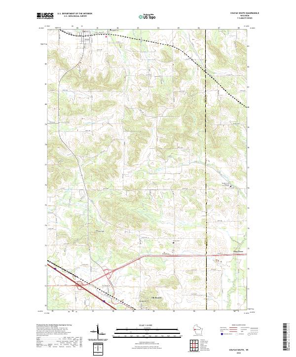 2022 Colfax South2022 Print · USGSDunn County farmland and the village of Colfax appear in high detail on this contemporary survey of the Wisconsin landscape. Genealogists can locate family sites near Evergreen Cem, Barum Cem, or the landmark Elk Mound and Panther Hill elevations.
 - 2022 Map of Rusk, 2022 Print
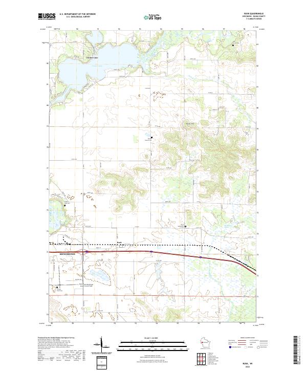 2022 Rusk2022 Print · USGSDunn County at the start of the 2020s shows a landscape of river-fed lakes and enduring rural settlements. Genealogists can trace family histories through several local burial grounds, including Beyer Settlement Cem and Hill Grove Cem.
 - 2022 Map of Falls City, 2022 Print
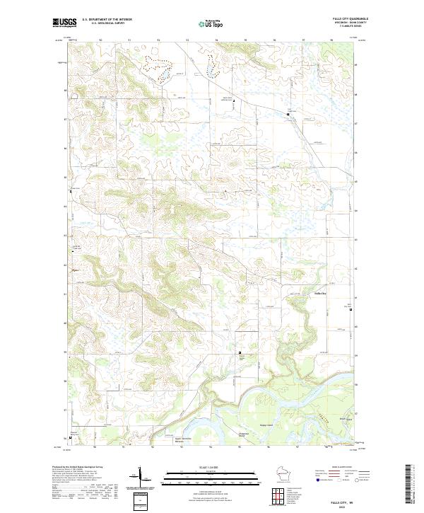 2022 Falls City2022 Print · USGSDunn County agricultural lands meet the winding waters of the Chippewa River in this modern survey of the Wisconsin countryside. Genealogists can locate several local burial sites like Falls City Cem and Forest Center Cem near the riverfront at Happy Island.
 - 2022 Map of Elk Creek Lake, 2022 Print
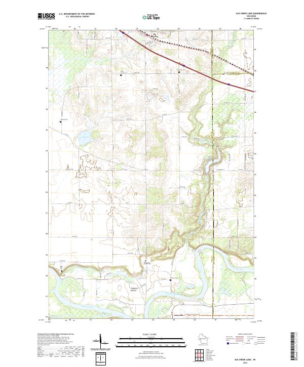 2022 Elk Creek Lake2022 Print · USGSDunn County at the start of the 2020s shows a landscape of river-bottom lands and upland cemeteries where three county lines meet. Genealogists can trace family burial sites at Evergreen Cem and Waneka Cem while exploring the reach of the Chippewa River.
End of results
Showing maps 1-4 of 4
Top cities near Elk Mound
- Eau Claire historical maps
- Menomonie historical maps
- Lake Hallie historical maps
- Bloomer historical maps
- Pleasant Valley historical maps
- Town of Wheaton historical maps
See more
Top neighborhoods of Elk Mound
Frequently asked questions
- What are the different types of historical maps available for Elk Mound?
- What is the oldest map of Elk Mound?
- Where can I purchase historical maps of Elk Mound for my home or office?
- Where can I download high-res historical maps of Elk Mound?
- Are there historical topographic maps available for Elk Mound?
- Is there historical aerial imagery available for Elk Mound?
- Where are historical maps of Elk Mound sourced from?