Old Maps of Commonwealth, Wisconsin for Genealogy
Trace your family roots with 33 historic maps of Commonwealth. These high-res maps reveal old neighborhoods, homesites, landmarks, and streets — helping you uncover where your ancestors lived and how the area evolved over time.
- Explore historic neighborhoods: Identify where your relatives may have lived in the 1800s or 1900s.
- Compare maps over time: Trace the changes in streets, buildings, and landmarks for multi-generational research.
- Perfect for genealogy & ancestry research: Used by family historians and researchers to map out lineage and migration.
These maps are an incredible resource for exploring your personal connection to Commonwealth's past.
Commonwealth, WI maps
(33)- 1939 Map of Iron Mountain, 1963 Print
 1939 Iron Mountain1963 Print · USGSThe Menominee River borderlands at the end of the 1930s show a landscape of hydroelectric power and deep-woods settlements. Genealogists and historians can trace rural school districts like Golden Rule Sch and early industrial sites such as the Henry Ford Dam.
 - 1941 Map of Florence
 1941 Florence1941 Print · USGSFlorence and the surrounding lake country appear in this early 1940s survey just as modern highways began to bypass the old rail corridors. Local researchers can trace rural schoolhouse locations like Fern Sch and landmarks like the Rainbow Firetower.
 - 1941 Map of Iron Mountain
 1941 Iron Mountain1941 Print · USGSThe Menominee River borderlands thrive with hydroelectric power and iron mining during the late thirties. Genealogists can trace family footprints at Woodlawn Cem or find early rural schoolhouses like Golden Rule Sch and Hauserman Sch.
 - 1947 Map of Iron Mountain
 1947 Iron Mountain1947 Print · USGSAs the post-war industrial era took hold, this borderland map reveals a landscape of hydroelectric dams and iron-town settlements along the Menominee River. Genealogists and local historians can locate several rural schoolhouses, including Golden Rule Sch and Roach Sch, and trace the path of the Chicago and Northwestern Railroad.
 - 1947 Map of Stager
 1947 Stager1947 Print · USGSThe Brule River forms the state boundary in the late 1940s, marking a landscape of wild waterways and essential rail lines. Trace the local rail history at Stager or explore the rugged river bends of the Brule River and the Horse Race Rapids.
 - 1949 Map of Commonwealth
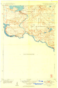 1949 Commonwealth1949 Print · USGSThe riverine border between Wisconsin and Michigan is captured here just after the war, showing a landscape of hydroelectric power and state forestry. Researchers can trace the Brule Island Dam and locate the rural South Mastodon Sch near Peavy Pond.
 - 1954 Map of Iron Mountain, 1964 Print
 1954 Iron Mountain1964 Print · USGSUpper Michigan and Northeastern Wisconsin are shown in detail during the mid-fifties, when the logging and mining economies still moved by rail. Trace the rail lines of the Soo Line to remote stops like Koepenick Station or explore the Iron Range near Iron Mountain.2 unique versions available
 - 1959 Map of Iron Mountain
 1959 Iron Mountain1959 Print · USGSThe northwoods of Wisconsin and the Michigan border are captured here in the mid-fifties, showing a landscape defined by timber, water, and rail. Researchers can trace historic junctions like Hiles Junction, the expansive Nicolet National Forest, and lakefront settlements from Rhinelander to Tomahawk.2 unique versions available
 - 1962 Map of Florence West, 1964 Print
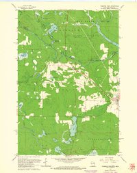 1962 Florence West1964 Print · USGSThe Wisconsin-Michigan borderlands come alive in this early 1960s survey of the iron-rich Northwoods. You can trace the Chicago and North Western rail line past old Mines and settlements like Tyran or Ridgetop.2 unique versions available
 - 1962 Map of Florence SE, 1964 Print
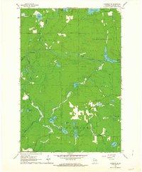 1962 Florence SE1964 Print · USGSFlorence County's river-cut timberlands are captured here in the early sixties, showing the landscape before modern development altered these remote woods. Researchers can trace the water levels of the Pine River Flowage and locate landmarks like the Lookout Tower and Homestead Park.2 unique versions available
 - 1962 Map of Florence East, 1964 Print
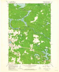 1962 Florence East1964 Print · USGSFlorence and the surrounding iron range townships appear at a peak of industrial activity in the early sixties. Trace the Chicago and North Western rail lines serving the Mines and the Hematite and Commonwealth settlements.
 - 1962 Map of Iron Mountain SW, 1964 Print
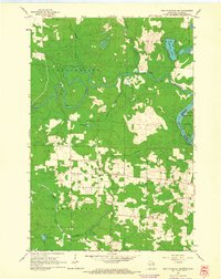 1962 Iron Mountain SW1964 Print · USGSThe Wisconsin-Michigan border comes into focus in the early sixties, where the Pine River meets the Menominee River. Researchers can trace the rural layouts of Aurora and Kingsford, locating sites like the Power Plant and Aurora Free Ch.2 unique versions available
 - 1991 Map of Iron Mountain
 1991 Iron Mountain1991 Print · USGSThe Michigan-Wisconsin borderlands appear here in the early nineties, centered on the industrial corridor along the Menominee River. Local researchers can trace the Soo Line through remote timber settlements or locate mining sites like the Bradley Mine and Trader Mine.
 - 2010 Map of Florence SE, 2010 Print
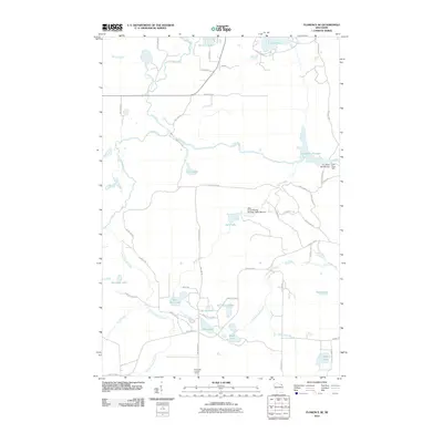 2010 Florence SE2010 Print · USGSSoutheastern Florence County is shown here in the early 2000s, a landscape defined by controlled waterways and deep Northwoods forest. Researchers can locate remote landmarks like the Bass Lake Lookout Tower and multiple dams, including the Pine River Dam.
 - 2011 Map of Florence East, 2011 Print
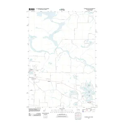 2011 Florence East2011 Print · USGSWisconsin's northern border country is captured here during the early twenty-first century, centered on the historic mining towns of the Menominee Range. Genealogists and researchers can trace the roads around Florence, locate Saint Marys Cemetery, and explore the islands of the Spread Eagle Chain of Lakes.
 - 2011 Map of Iron Mountain SW, 2011 Print
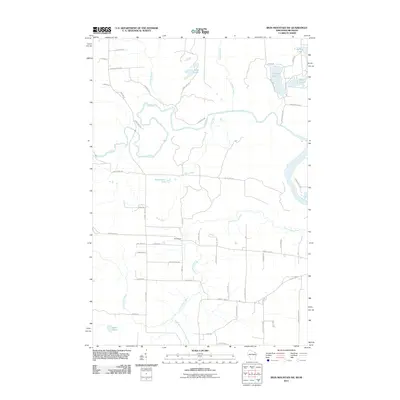 2011 Iron Mountain SW2011 Print · USGSThe Wisconsin and Michigan border comes alive in the early 21st century, centered on the settlement of Homestead. Researchers can trace the intricate river systems of the Pine River and Menominee River alongside local landmarks like Ellwood Lake and Hord Lake.
 - 2011 Map of Florence West, 2011 Print
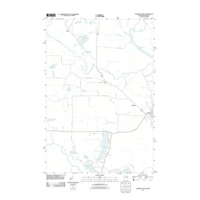 2011 Florence West2011 Print · USGSThis northern borderland at the start of the 21st century shows the historic lake-and-river settlement patterns of Wisconsin and Michigan. Researchers can trace local landmarks like Horserace Rapids, family-named Bessie Babbet Lake, and the community of Stager.
 - 2013 Map of Florence East, 2013 Print
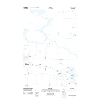 2013 Florence East2013 Print · USGSThe Wisconsin-Michigan border comes alive in this 2013 survey, where the Menominee River and Brule River meet. Trace the mining heritage of Hematite and Commonwealth, or explore the many shorelines of the Spread Eagle Chain of Lakes.
 - 2013 Map of Florence SE, 2013 Print
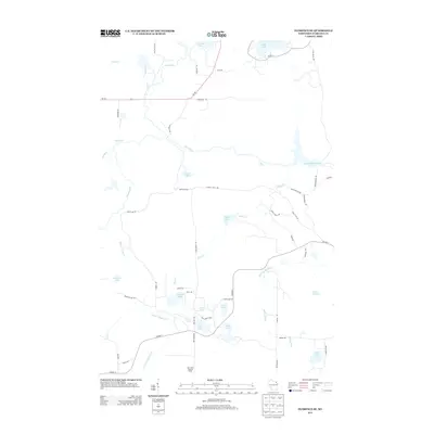 2013 Florence SE2013 Print · USGSFlorence County’s lake country and timberlands are captured here in the early twenty-first century, showing a landscape defined by water and woods. Researchers can locate family-named landmarks and remote sites like Bass Lake Lookout Tower, Popple Rapids, and Sea Lion Lake.
 - 2013 Map of Florence West, 2013 Print
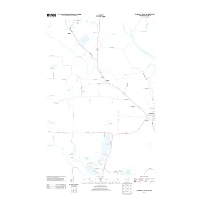 2013 Florence West2013 Print · USGSFlorence County at the Wisconsin-Michigan border is defined here by its intersection of major rivers and recreational lakes. Genealogists and local historians can trace the rural landscape around Florence and find old routes like Stager Lake Rd near Bessie Babbet Lake.
 - 2013 Map of Iron Mountain SW, 2013 Print
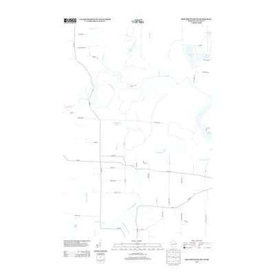 2013 Iron Mountain SW2013 Print · USGSThe Wisconsin and Michigan borderlands are shown here in the early twenty-first century, where the river-rich landscape meets a network of rural homesteads. Trace local family history and land use along Church Rd and Homestead Rd near Ellwood Lake.
 - 2015 Map of Florence West, 2015 Print
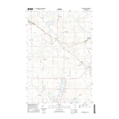 2015 Florence West2015 Print · USGSThe Wisconsin-Michigan borderlands come alive in this modern survey of the Florence County timber and lake country. Genealogists and local historians can trace family-named sites like Bessie Babbet Lake, the settlement of Tyran, and the Saint Marys Cem.
 - 2015 Map of Florence SE, 2015 Print
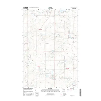 2015 Florence SE2015 Print · USGSFlorence County's lakeland and river systems are captured here in the mid-2010s, showing a landscape defined by the Pine River Flowage. Genealogists and outdoor historians can locate specific family-named landmarks and water features like Buckskin Lake and Hills Creek Dam Rd.
 - 2015 Map of Florence East, 2015 Print
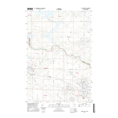 2015 Florence East2015 Print · USGSThe Wisconsin-Michigan border comes to life in the mid-2010s, centered on the river-fed communities of Florence County and Iron County. Trace local history through the streets of Florence, the settlement at Hematite, and the grounds of Woodlawn Cem.
 - 2015 Map of Iron Mountain SW, 2015 Print
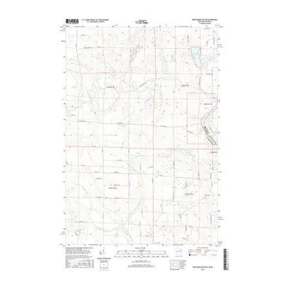 2015 Iron Mountain SW2015 Print · USGSCrossing the border of Michigan and Wisconsin in the mid-2010s, this survey captures the river systems and lake country of the Upper Peninsula and Northwoods. Researchers can trace landownership via named routes like Johnson Creek Rd and locate landmarks such as Ellwood Lake and The Plains.
Showing maps 1-25 of 33
Top cities near Commonwealth
- Iron Mountain historical maps
- Kingsford historical maps
- Niagara historical maps
- Crystal Falls historical maps
- Dunbar historical maps
- Aurora historical maps
See more
Frequently asked questions
- What are the different types of historical maps available for Commonwealth?
- What is the oldest map of Commonwealth?
- Where can I purchase historical maps of Commonwealth for my home or office?
- Where can I download high-res historical maps of Commonwealth?
- Are there historical topographic maps available for Commonwealth?
- Is there historical aerial imagery available for Commonwealth?
- Where are historical maps of Commonwealth sourced from?