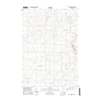
2015 Map of Iron Mountain SW
USGS Topo · Published 2015About this map
The Menominee River serves as the prominent natural boundary between Dickinson County, Michigan, and Florence County, Wisconsin, in this mid-2010s survey. The landscape is defined by the winding course of the Pine River and the Little Popple River, which drain through an area once shaped by the regional logging and mining economy. The terrain transitions into a flatter expanse known as The Plains in the eastern portion of the sheet near Cowboy Lake.
Find a feature on this map
68 named features on this map. Tap any name to fly to it.
Don’t see what you’re looking for? This feature index may not catch every label — zoom into the map to look around manually.
Map Details
Editions of this 2015 Iron Mountain SW Map
This is the sole edition of this map. No revisions or reprints were ever made.
Other maps of this area

1939 · Dunbar
USGS Topo · 1:48,000

1939 · Goodman
USGS Topo · 1:48,000

1939 · Iron Mountain
USGS Topo · 1:48,000

1941 · Florence
USGS Topo · 1:48,000

1941 · Dunbar
USGS Topo · 1:48,000

1941 · Iron Mountain
USGS Topo · 1:48,000

1946 · Goodman
USGS Topo · 1:48,000

1947 · Dunbar
USGS Topo · 1:48,000

1947 · Iron Mountain
USGS Topo · 1:48,000

1947 · Stager
USGS Topo · 1:24,000