2010s Maps of Laona, Wisconsin
Explore 32 historic maps of Laona from the 2010s. These maps offer a rare glimpse into what life looked like during the 2010s — showing old roads, neighborhoods, homes, and landmarks that have changed or disappeared over time.
Whether you're researching your family's past, planning a metal detecting trip, or studying how Laona's landscape evolved across the 2010s, these high-resolution maps are a powerful tool for exploring the history of this region.
- Focus on a specific era: All maps on this page are from the 2010s, giving you a focused view of this time period.
- See what’s changed: Compare century-old streets, trails, and buildings to today's modern landscape using overlays and satellite layers.
- Research with precision: Use these maps for genealogy, historical research, land use analysis, or educational projects.
- View, download, or print: Maps are fully viewable online in high resolution, and can be downloaded or printed for your own records.
Start exploring Laona's history through authentic maps from the 2010s. This is your window into the past.
Laona, WI maps
(32)- 2011 Map of Newald, 2011 Print
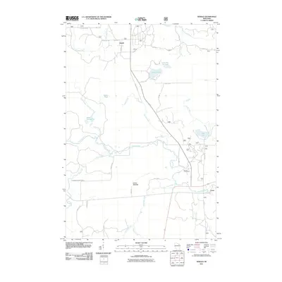 2011 Newald2011 Print · USGSForest County's timber and water networks are on full display in this early 2000s survey of the Wisconsin north woods. Genealogists and historians can trace the rural layout of Newald, find the site of the Consolidated Lookout Tower, and explore the banks of the Peshtigo River.
 - 2011 Map of Laona, 2011 Print
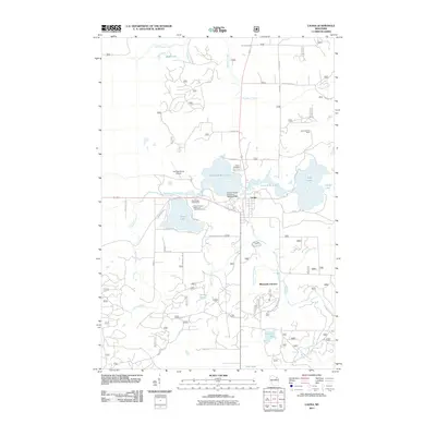 2011 Laona2011 Print · USGSLaona and the surrounding Forest County timberlands appear in detail in this twenty-first-century survey. Genealogists and local historians can trace legacy sites like the Laona Cemetery, the Laona Lookout Tower, and the historic Connor Forest Industries 1897C211 Dam.
 - 2011 Map of Blackwell, 2011 Print
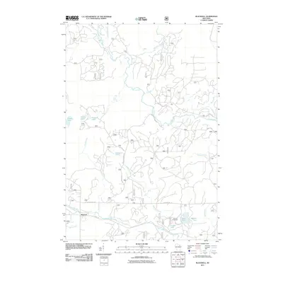 2011 Blackwell2011 Print · USGSThe northern forests of Blackwell, Wisconsin, are documented here just after the first decade of the new millennium. Researchers can trace the water systems of the Peshtigo River and Rat River or locate recreation spots like Bear Lake Campground and Shabodock Lake.
 - 2011 Map of Crandon NE, 2011 Print
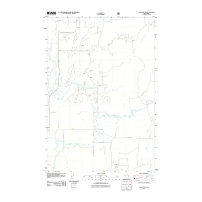 2011 Crandon NE2011 Print · USGSForest County in the early 2000s remains a landscape defined by its intricate river systems and forest service networks. Trace the converging paths of the North Branch Peshtigo River and family-named landmarks like Dick Samz Rd or Schmidt Ln.
 - 2011 Map of Lake Lucerne, 2011 Print
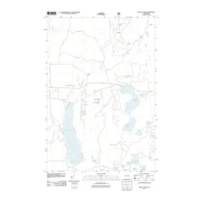 2011 Lake Lucerne2011 Print · USGSForest County's lake-rich landscape is captured here in the early twenty-first century, showing a network of remote waters and timber trails. Researchers can locate landmarks like the Rat Lake Permanent Lookout Station and the shores of Lake Lucerne.
 - 2011 Map of Wabeno, 2011 Print
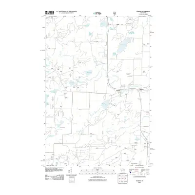 2011 Wabeno2011 Print · USGSForest County's timber and lake country is captured here during the early twenty-first century, centered on the communities of Wabeno and Soperton. Genealogists and historians can trace local family sites at Forest Hill Cemetery and Lakeview Cemetery, or locate the Padus Lookout Tower.
 - 2011 Map of Roberts Lake, 2011 Print
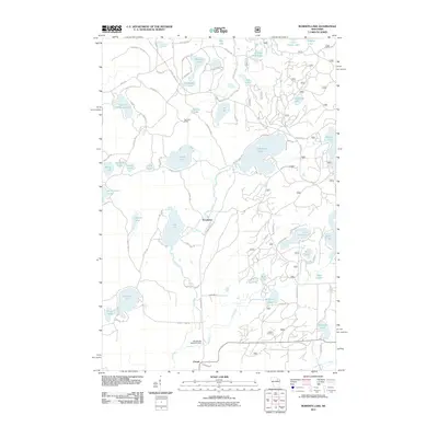 2011 Roberts Lake2011 Print · USGSForest County's Northwoods lake country is captured here in the early twenty-first century, showing a landscape defined by water and timber. Researchers can locate the historical Pig Snout Siding and trace the drainage of the Lily River near Woodlawn.
 - 2011 Map of Lake Gordon, 2011 Print
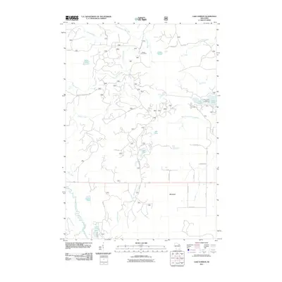 2011 Lake Gordon2011 Print · USGSForest County's timberlands and glacial lakes are captured here during the early twenty-first century. Researchers can locate family landmarks and recreational sites including the Newald Lookout Tower, the settlement of Bonneval, and the Laura-Gordon Lakes Campground.
 - 2013 Map of Lake Gordon, 2013 Print
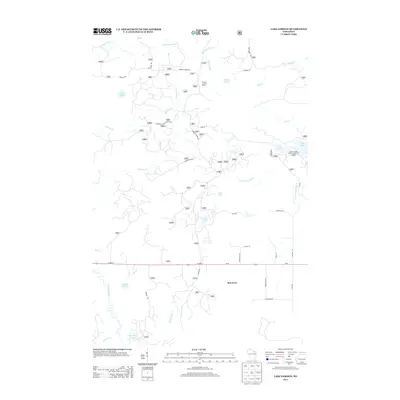 2013 Lake Gordon2013 Print · USGSForest County's timber and recreation lands are captured here in the early twenty-first century as the region manages its wild resources. Trace the network of forest roads leading to Newald Lookout Tower or the shores of Lake Gordon and Cavour Pond.
 - 2013 Map of Roberts Lake, 2013 Print
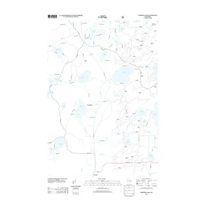 2013 Roberts Lake2013 Print · USGSForest County's lake-rich woodland is captured here in the early twenty-first century, showing the area's evolution into a mix of seasonal retreats and rural settlements. Researchers can trace the layout of Woodlawn, the rail-related Pig Snout Siding, and the winding course of the Lily River.
 - 2013 Map of Newald, 2013 Print
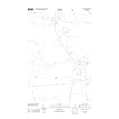 2013 Newald2013 Print · USGSForest County's timber and river country is captured here during the early twenty-first century. Genealogists and local historians can locate the small settlements of Newald and Cavour or trace the drainage of the Peshtigo River and the high vantage of Consolidated Lookout Tower.
 - 2013 Map of Laona, 2013 Print
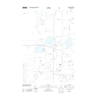 2013 Laona2013 Print · USGSForest County, Wisconsin, is captured here in the early twenty-first century as a landscape of timber-fringe lakes and cross-country transit. Local historians can trace the developments around Laona, the Laona Lookout Tower, and the settlement of Blackwell Junction.
 - 2013 Map of Blackwell, 2013 Print
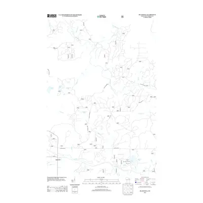 2013 Blackwell2013 Print · USGSForest County's Northwoods landscape is captured here in the early twenty-first century, centered on the settlement of Blackwell. Researchers can trace the winding Peshtigo River and locate remote spots like Bear Lake Campground and the waters of Shabodock Lake.
 - 2013 Map of Wabeno, 2013 Print
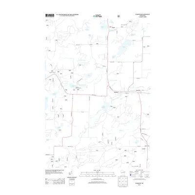 2013 Wabeno2013 Print · USGSForest County's timber and lake country is captured here during the early twenty-first century, centered on the community of Wabeno. Local researchers can locate family landmarks and rural settlements like Soperton, Carter, and the Padus Lookout Tower.
 - 2013 Map of Lake Lucerne, 2013 Print
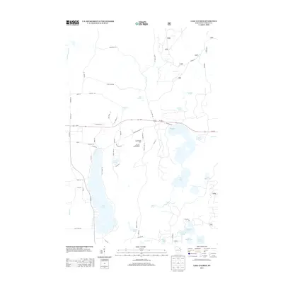 2013 Lake Lucerne2013 Print · USGSThe Wisconsin Northwoods around Lake Lucerne appear here in the early 2010s, showing a landscape of dense forests and glacial lakes. Local historians can trace the network of forest roads and landmarks like Sugarbush Hill and the Rat Lake Permanent Lookout Station.
 - 2013 Map of Crandon NE, 2013 Print
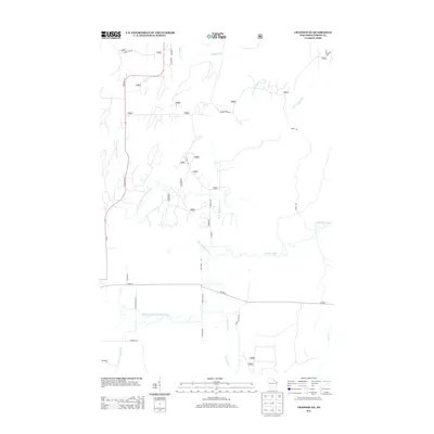 2013 Crandon NE2013 Print · USGSForest County's timberlands and river systems are shown in great detail during the early twenty-first century. Genealogists and outdoor historians can trace family-named routes like Dick Samz Rd or locate the headwaters of the North Branch Peshtigo River.
 - 2015 Map of Newald, 2015 Print
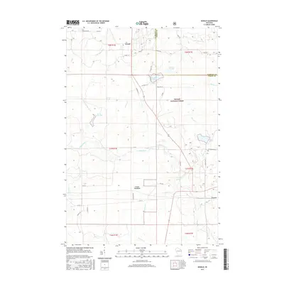 2015 Newald2015 Print · USGSThe Northwoods of Forest County are captured here in the mid-2010s, showcasing a landscape shaped by timber history and the Soo Line railroad. Local historians can trace the footprints of Newald, Laona Junction, and Cavour alongside the Peshtigo River.
 - 2015 Map of Blackwell, 2015 Print
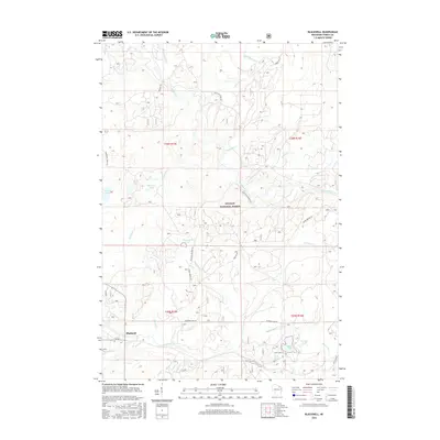 2015 Blackwell2015 Print · USGSThe northern Wisconsin woods near Blackwell are documented here in the early twenty-first century as part of the Nicolet National Forest. Genealogists and outdoor historians can trace the remote waterways of the Peshtigo River and the shorelines of Bear Lake and Shabodock Lake.
 - 2015 Map of Lake Gordon, 2015 Print
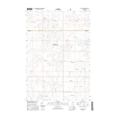 2015 Lake Gordon2015 Print · USGSForest County's Northwoods are captured here in the mid-2010s, showcasing a landscape of dense timber and glacial waters. Researchers can trace the drainage of the Peshtigo River and locate remote landmarks like Bonneval or the secluded Camp Three Lake.
 - 2015 Map of Lake Lucerne, 2015 Print
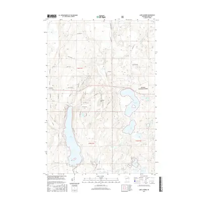 2015 Lake Lucerne2015 Print · USGSForest County's lake-heavy landscape is captured here in the mid-2010s, showing the intersection of Nicolet National Forest and local development. Researchers can trace forest access routes and shoreline features along Lake Lucerne, Wabikon Lake, and Sugarbush Hill.
 - 2015 Map of Wabeno, 2015 Print
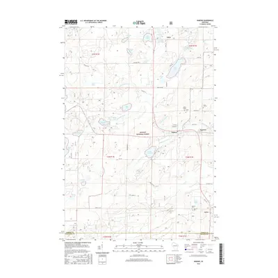 2015 Wabeno2015 Print · USGSForest County, Wisconsin, is shown here in the mid-2010s, centered on the historic timber communities and the water-rich terrain of the North Woods. Genealogists can trace family sites at Saint Ambrose Cem or Forest Hill Cem, while exploring the surroundings of Wabeno and Soperton.
 - 2015 Map of Crandon NE, 2015 Print
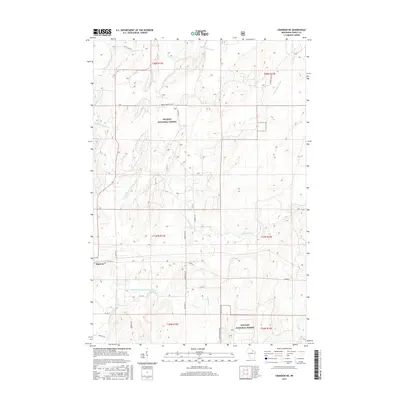 2015 Crandon NE2015 Print · USGSCovers Laona, including Argonne, Ross, and other nearby areas
 - 2015 Map of Roberts Lake, 2015 Print
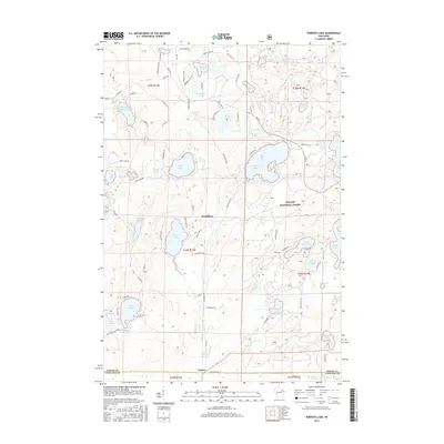 2015 Roberts Lake2015 Print · USGSForest County in the mid-2010s reveals a classic Northwoods landscape defined by the deep woods of the Nicolet National Forest. You can trace the shorelines of dozens of glacial lakes and locate small settlements like Woodlawn and Choate.
 - 2015 Map of Laona, 2015 Print
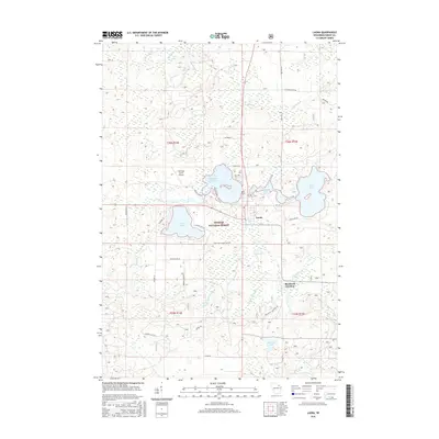 2015 Laona2015 Print · USGSWisconsin's north woods are captured here during the mid-2010s, showing the town of Laona surrounded by the Nicolet National Forest. You can trace local landmarks like Laona Cem, the waters of Scattered Rice Lake, and historical routes like Starks Settlement Rd.
 - 2018 Map of Lake Gordon, 2018 Print
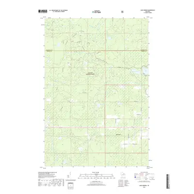 2018 Lake Gordon2018 Print · USGSThe northern Wisconsin wilderness comes alive in this survey of the lake country at the Forest and Florence county line. Genealogists and historians can trace local family names on rural roads and find recreational landmarks like Bonneval, Lake Gordon, and the Snowmobile Trail Lkln Forest.
Showing maps 1-25 of 32
Top cities near Laona
- Crandon historical maps
- Wabeno historical maps
- Nashville historical maps
- Townsend historical maps
- Lakewood historical maps
- Argonne historical maps
See more
Frequently asked questions
- What are the different types of historical maps available for Laona?
- What is the oldest map of Laona?
- Where can I purchase historical maps of Laona for my home or office?
- Where can I download high-res historical maps of Laona?
- Are there historical topographic maps available for Laona?
- Is there historical aerial imagery available for Laona?
- Where are historical maps of Laona sourced from?