2020s Maps of Laona, Wisconsin
Explore 8 historic maps of Laona from the 2020s. These maps offer a rare glimpse into what life looked like during the 2020s — showing old roads, neighborhoods, homes, and landmarks that have changed or disappeared over time.
Whether you're researching your family's past, planning a metal detecting trip, or studying how Laona's landscape evolved across the 2020s, these high-resolution maps are a powerful tool for exploring the history of this region.
- Focus on a specific era: All maps on this page are from the 2020s, giving you a focused view of this time period.
- See what’s changed: Compare century-old streets, trails, and buildings to today's modern landscape using overlays and satellite layers.
- Research with precision: Use these maps for genealogy, historical research, land use analysis, or educational projects.
- View, download, or print: Maps are fully viewable online in high resolution, and can be downloaded or printed for your own records.
Start exploring Laona's history through authentic maps from the 2020s. This is your window into the past.
Laona, WI maps
(8)- 2022 Map of Newald, 2022 Print
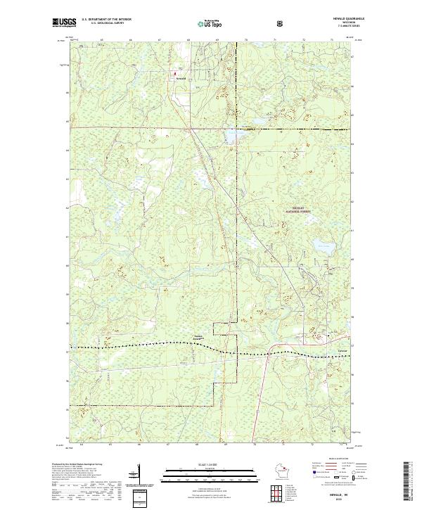 2022 Newald2022 Print · USGSForest County's timber and rail history is preserved in this recent survey of the Northwoods. Genealogists and historians can trace the settlement at Newald, locate the Cavour Cem, and follow the long path of the Nicolet State Trl through the forest.
 - 2022 Map of Blackwell, 2022 Print
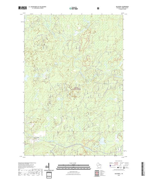 2022 Blackwell2022 Print · USGSForest County's timberlands and waterways are showcased in this recent survey of the Northwoods. Researchers can trace recreational networks and hydrological features from the Blackwell settlement to Bear Lake and the Peshtigo River.
 - 2022 Map of Laona, 2022 Print
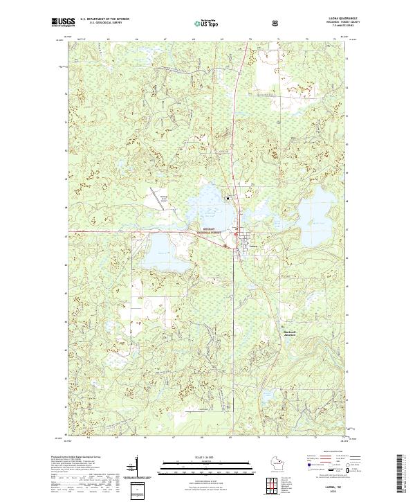 2022 Laona2022 Print · USGSForest County in the early 2020s remains a landscape of dense timber and glacial waters centered on the lumber-heritage town of Laona. Researchers can trace old transportation corridors along the Nicolet State Trl or locate local landmarks like Laona Cem and Blackwell Junction.
 - 2022 Map of Lake Gordon, 2022 Print
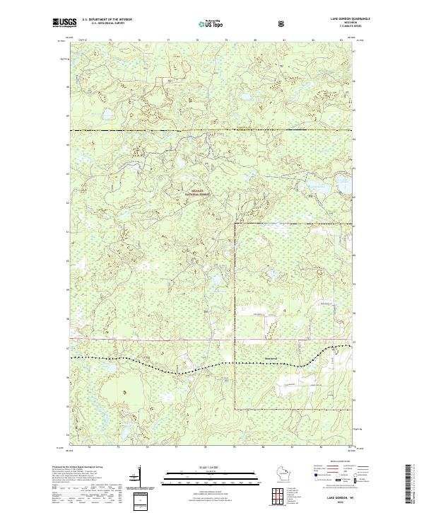 2022 Lake Gordon2022 Print · USGSNorthern Wisconsin lake country is meticulously documented in the 2020s, showing the intersection of Nicolet National Forest and local homesteads. Trace family-named routes like Danielczak Rd near the settlement of Bonneval and around Lake Gordon.
 - 2022 Map of Wabeno, 2022 Print
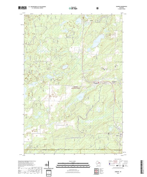 2022 Wabeno2022 Print · USGSForest County's timber and lake country is captured here during the early twenty-first century, centered on the historic lumber towns of Wabeno and Soperton. Researchers can locate several community landmarks including Saint Ambrose Cem, the Nicolet State Trl, and the waters of Trump Lake.
 - 2022 Map of Lake Lucerne, 2022 Print
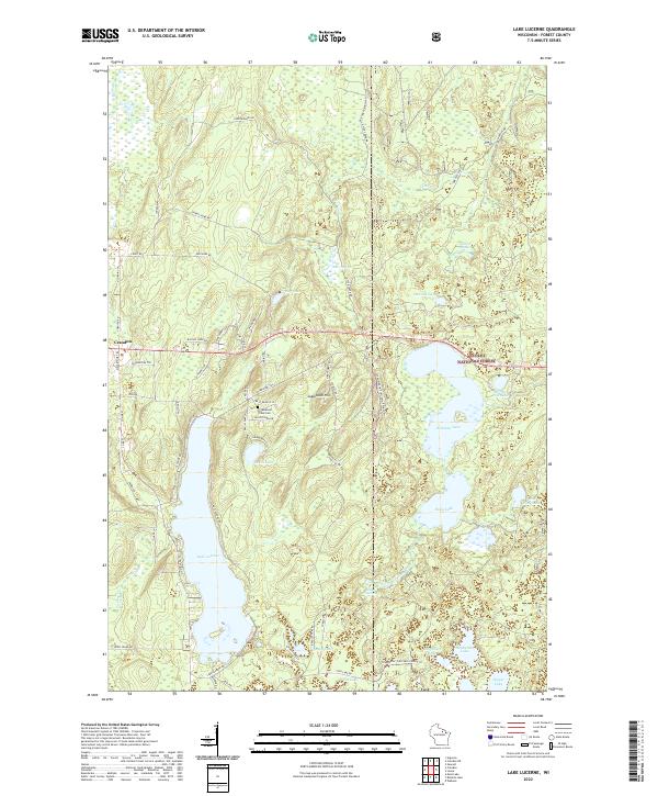 2022 Lake Lucerne2022 Print · USGSForest County's dense woodlands and glacial waters are documented here in the early 2020s, showing the area as it transitioned into the modern era. Researchers can trace the network of forest roads and trails around Lake Lucerne, Sugarbush Hill, and the Potawatomi Tribal Cem.
 - 2022 Map of Crandon NE, 2022 Print
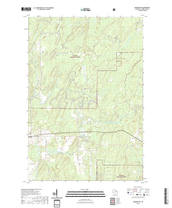 2022 Crandon NE2022 Print · USGSForest County's timberlands and river valleys are captured here in the early twenty-first century as part of the Nicolet National Forest. You can trace the winding paths of the North Branch Peshtigo River and the Popple River, alongside local landmarks like the Farm Service Agency Interest of Wisconsin.
 - 2022 Map of Roberts Lake, 2022 Print
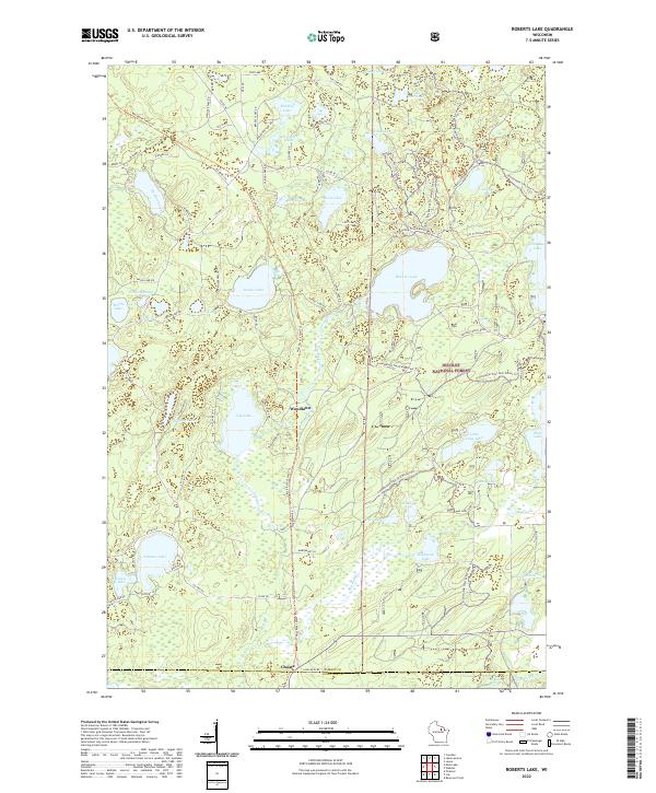 2022 Roberts Lake2022 Print · USGSThe Northwoods of Forest County are revealed in this modern survey of the high-lake country where the Wolf River begins. Researchers can trace local landmarks like Starks Settlement/Roberts Lane and the remote outpost at Woodlawn.
End of results
Showing maps 1-8 of 8
Top cities near Laona
- Crandon historical maps
- Wabeno historical maps
- Nashville historical maps
- Townsend historical maps
- Lakewood historical maps
- Argonne historical maps
See more
Frequently asked questions
- What are the different types of historical maps available for Laona?
- What is the oldest map of Laona?
- Where can I purchase historical maps of Laona for my home or office?
- Where can I download high-res historical maps of Laona?
- Are there historical topographic maps available for Laona?
- Is there historical aerial imagery available for Laona?
- Where are historical maps of Laona sourced from?