2020s Maps of Popple River, Wisconsin
Explore 4 historic maps of Popple River from the 2020s. These maps offer a rare glimpse into what life looked like during the 2020s — showing old roads, neighborhoods, homes, and landmarks that have changed or disappeared over time.
Whether you're researching your family's past, planning a metal detecting trip, or studying how Popple River's landscape evolved across the 2020s, these high-resolution maps are a powerful tool for exploring the history of this region.
- Focus on a specific era: All maps on this page are from the 2020s, giving you a focused view of this time period.
- See what’s changed: Compare century-old streets, trails, and buildings to today's modern landscape using overlays and satellite layers.
- Research with precision: Use these maps for genealogy, historical research, land use analysis, or educational projects.
- View, download, or print: Maps are fully viewable online in high resolution, and can be downloaded or printed for your own records.
Start exploring Popple River's history through authentic maps from the 2020s. This is your window into the past.
Popple River, WI maps
(4)- 2022 Map of Long Lake, 2022 Print
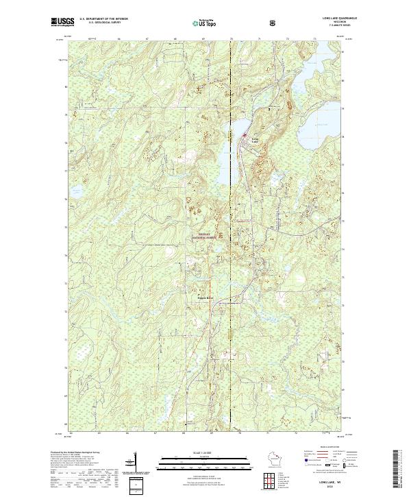 2022 Long Lake2022 Print · USGSThe Florence County Northwoods are documented here in the early 2020s, showing a landscape defined by timber and water. Genealogists can locate Long Lake Cem and Forest Home Cem among the winding paths of the Nicolet National Forest.
 - 2022 Map of Tipler, 2022 Print
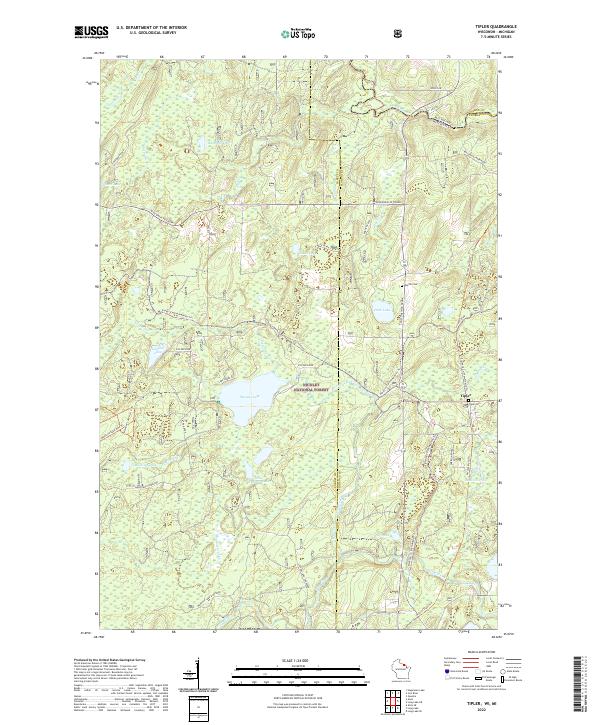 2022 Tipler2022 Print · USGSThe Northwoods of Wisconsin and Michigan's Upper Peninsula meet in this 2022 study of the Nicolet National Forest. Genealogists and historians can trace the community of Tipler, identifying locations like Tipler Cem and Martin Cem.
 - 2022 Map of Alvin SE, 2022 Print
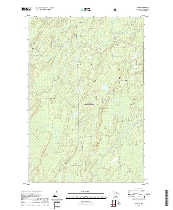 2022 Alvin SE2022 Print · USGSForest County's timberlands are shown in great detail during the early 2020s, dominated by the sprawling canopy of the Nicolet National Forest. You can trace the pristine waters of the Pine River and Popple River alongside local landmarks like Rat Lake.
 - 2022 Map of Alvin, 2022 Print
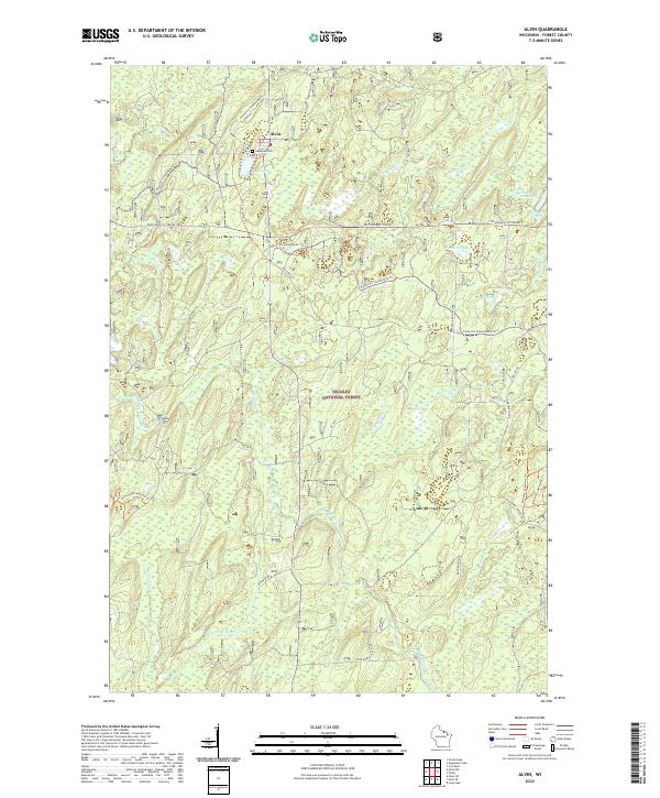 2022 Alvin2022 Print · USGSForest County's timberlands and remote waters are well documented in this recent survey of the Northwoods. Genealogists and outdoor historians can trace the roads around Alvin, locate Lakeview Cem, and follow the banks of the Pine River and Killborn Lake.
End of results
Showing maps 1-4 of 4
Top cities near Popple River
- Phelps historical maps
- Laona historical maps
- Florence historical maps
- Argonne historical maps
- Armstrong Creek historical maps
- Hiles historical maps
See more
Frequently asked questions
- What are the different types of historical maps available for Popple River?
- What is the oldest map of Popple River?
- Where can I purchase historical maps of Popple River for my home or office?
- Where can I download high-res historical maps of Popple River?
- Are there historical topographic maps available for Popple River?
- Is there historical aerial imagery available for Popple River?
- Where are historical maps of Popple River sourced from?