Old Maps of Newald, Wisconsin for Academic Research
Study the evolution of Newald with 11 high-resolution historic maps. Whether you're teaching, researching, or modeling changes in land use, these maps provide essential visual documentation of urban, environmental, and geographic change.
- Analyze long-term change: Track patterns in development, transportation, and natural features.
- Ideal for environmental or urban studies: Support academic projects with primary historical map data.
- Use in the classroom or lab: Educators and researchers rely on these maps to bring historical context to life.
These maps are a powerful tool for teaching, research, and visualizing how Newald has changed over the decades.
Newald, WI maps
(11)- 1939 Map of Laona, 1956 Print
 1939 Laona1956 Print · USGSForest County during the late 1930s was a landscape defined by the timber industry and the intersection of major railroads. Trace the rail-and-river network through lumber hubs like Laona and Blackwell, or locate the CCC Camp and Laona Fire Tower.2 unique versions available
 - 1946 Map of Laona
 1946 Laona1946 Print · USGSForest and Florence counties are shown here in the 1940s during a pivotal era of rail-driven forestry and conservation. Researchers can trace the junction of the Soo Line and Chicago and Northwestern railroads or locate the CCC Camp and Newald Fire Tower.
 - 1954 Map of Iron Mountain, 1964 Print
 1954 Iron Mountain1964 Print · USGSUpper Michigan and Northeastern Wisconsin are shown in detail during the mid-fifties, when the logging and mining economies still moved by rail. Trace the rail lines of the Soo Line to remote stops like Koepenick Station or explore the Iron Range near Iron Mountain.2 unique versions available
 - 1959 Map of Iron Mountain
 1959 Iron Mountain1959 Print · USGSThe northwoods of Wisconsin and the Michigan border are captured here in the mid-fifties, showing a landscape defined by timber, water, and rail. Researchers can trace historic junctions like Hiles Junction, the expansive Nicolet National Forest, and lakefront settlements from Rhinelander to Tomahawk.2 unique versions available
 - 1972 Map of Newald, 1974 Print
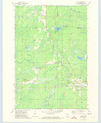 1972 Newald1974 Print · USGSForest and Florence counties meet in this 1970s survey of northern Wisconsin’s timber country. Genealogists and local historians can trace the rail corridors of the Chicago and North Western and Soo Line, identifying old sites at Newald, Cavour, and the Consolidated Lookout Tower.2 unique versions available
 - 1991 Map of Iron Mountain
 1991 Iron Mountain1991 Print · USGSThe Michigan-Wisconsin borderlands appear here in the early nineties, centered on the industrial corridor along the Menominee River. Local researchers can trace the Soo Line through remote timber settlements or locate mining sites like the Bradley Mine and Trader Mine.
 - 2011 Map of Newald, 2011 Print
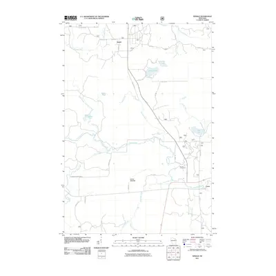 2011 Newald2011 Print · USGSForest County's timber and water networks are on full display in this early 2000s survey of the Wisconsin north woods. Genealogists and historians can trace the rural layout of Newald, find the site of the Consolidated Lookout Tower, and explore the banks of the Peshtigo River.
 - 2013 Map of Newald, 2013 Print
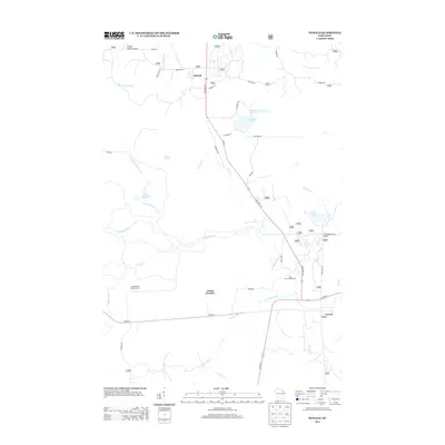 2013 Newald2013 Print · USGSForest County's timber and river country is captured here during the early twenty-first century. Genealogists and local historians can locate the small settlements of Newald and Cavour or trace the drainage of the Peshtigo River and the high vantage of Consolidated Lookout Tower.
 - 2015 Map of Newald, 2015 Print
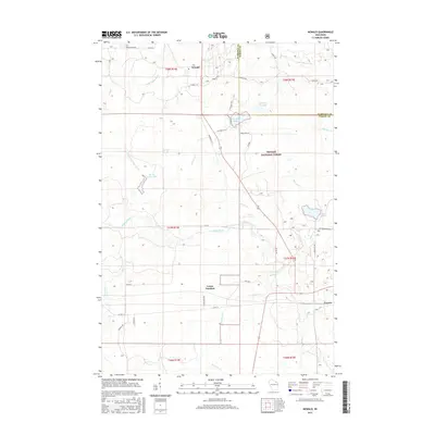 2015 Newald2015 Print · USGSThe Northwoods of Forest County are captured here in the mid-2010s, showcasing a landscape shaped by timber history and the Soo Line railroad. Local historians can trace the footprints of Newald, Laona Junction, and Cavour alongside the Peshtigo River.
 - 2018 Map of Newald, 2018 Print
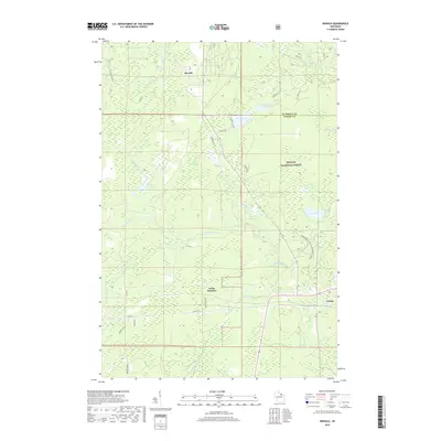 2018 Newald2018 Print · USGSForest County's timber and water systems are documented in the late 2010s as they define the landscape of the Nicolet National Forest. Researchers can trace the layout of small rail-linked communities like Newald and Cavour or follow the path of the Peshtigo River.
 - 2022 Map of Newald, 2022 Print
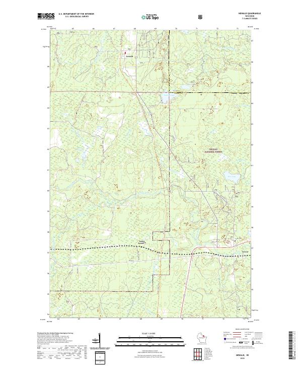 2022 Newald2022 Print · USGSForest County's timber and rail history is preserved in this recent survey of the Northwoods. Genealogists and historians can trace the settlement at Newald, locate the Cavour Cem, and follow the long path of the Nicolet State Trl through the forest.
End of results
Showing maps 1-11 of 11
Top cities near Newald
- Crandon historical maps
- Laona historical maps
- Nashville historical maps
- Florence historical maps
- Argonne historical maps
- Armstrong Creek historical maps
See more
Frequently asked questions
- What are the different types of historical maps available for Newald?
- What is the oldest map of Newald?
- Where can I purchase historical maps of Newald for my home or office?
- Where can I download high-res historical maps of Newald?
- Are there historical topographic maps available for Newald?
- Is there historical aerial imagery available for Newald?
- Where are historical maps of Newald sourced from?