Old Maps of Soperton, Wabeno for Genealogy
Trace your family roots with 12 historic maps of Soperton. These high-res maps reveal old neighborhoods, homesites, landmarks, and streets — helping you uncover where your ancestors lived and how the area evolved over time.
- Explore historic neighborhoods: Identify where your relatives may have lived in the 1800s or 1900s.
- Compare maps over time: Trace the changes in streets, buildings, and landmarks for multi-generational research.
- Perfect for genealogy & ancestry research: Used by family historians and researchers to map out lineage and migration.
These maps are an incredible resource for exploring your personal connection to Soperton's past.
Soperton, Wabeno maps
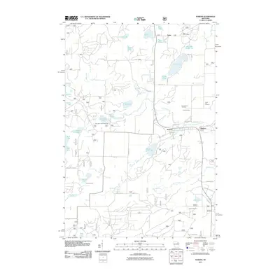
(12)- 1942 Map of Wabeno
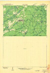 1942 Wabeno1942 Print · USGSForest County's timberlands are captured here in the early 1940s, when rail and river still drove the local economy. Researchers can locate vanished rural schools like Rummel Sch, several local cemeteries, and the site of an Abandoned CCC Camp near Otter Lake.
 - 1950 Map of Wabeno
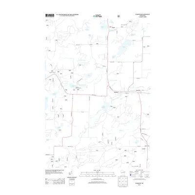
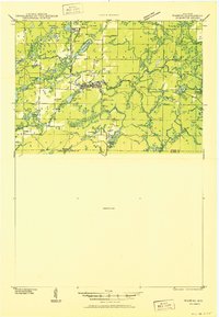 1950 Wabeno1950 Print · USGSThe Northwoods of Forest County are captured here at mid-century, where logging roots and lake country recreation meet. Genealogists and historians can locate rural schoolhouses like Rummel Sch, explore the Abandoned CCC Camp, or trace the old Logging RR routes.
 - 1951 Map of Wabeno, 1953 Print
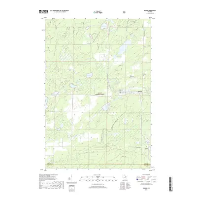
 1951 Wabeno1953 Print · USGSThe Northwoods of Forest and Oconto counties are shown in the early fifties as the timber and railway era transitioned into modern recreation. Researchers can locate the logging towns of Soperton and Wabeno, or trace rural life through the Windfall Sch and Forest Hill Cem.3 unique versions available
 - 1954 Map of Iron Mountain, 1964 Print
 1954 Iron Mountain1964 Print · USGSUpper Michigan and Northeastern Wisconsin are shown in detail during the mid-fifties, when the logging and mining economies still moved by rail. Trace the rail lines of the Soo Line to remote stops like Koepenick Station or explore the Iron Range near Iron Mountain.2 unique versions available
 - 1959 Map of Iron Mountain
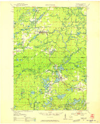
 1959 Iron Mountain1959 Print · USGSThe northwoods of Wisconsin and the Michigan border are captured here in the mid-fifties, showing a landscape defined by timber, water, and rail. Researchers can trace historic junctions like Hiles Junction, the expansive Nicolet National Forest, and lakefront settlements from Rhinelander to Tomahawk.2 unique versions available
 - 1972 Map of Wabeno, 1975 Print
 1972 Wabeno1975 Print · USGSForest County in the early 1970s is characterized by the timber-belt communities of Wabeno and Soperton within the Nicolet National Forest. Genealogists and historians can trace rail-side developments, numerous lakefronts, and several local cemeteries like St Ambrose Cem and Roseland Cem.
 - 1990 Map of Wabeno, 1991 Print
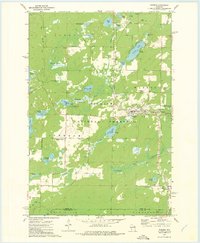
 1990 Wabeno1991 Print · USGSThe Wisconsin Northwoods in the early nineties is a landscape of deep timber, tribal lands, and glacial lakes. Researchers can trace the Chicago and North Western rail line through lumber towns like Wabeno and Townsend or locate the Lakewood State Fish Hatchery.
 - 2011 Map of Wabeno, 2011 Print
 2011 Wabeno2011 Print · USGSCovers Soperton, including Laona, Wabeno, and other nearby areas
 - 2013 Map of Wabeno, 2013 Print
 2013 Wabeno2013 Print · USGSCovers Soperton, including Laona, Wabeno, and other nearby areas
 - 2015 Map of Wabeno, 2015 Print
 2015 Wabeno2015 Print · USGSCovers Soperton, including Laona, Wabeno, and other nearby areas
 - 2018 Map of Wabeno, 2018 Print
 2018 Wabeno2018 Print · USGSCovers Soperton, including Laona, Wabeno, and other nearby areas
 - 2022 Map of Wabeno, 2022 Print
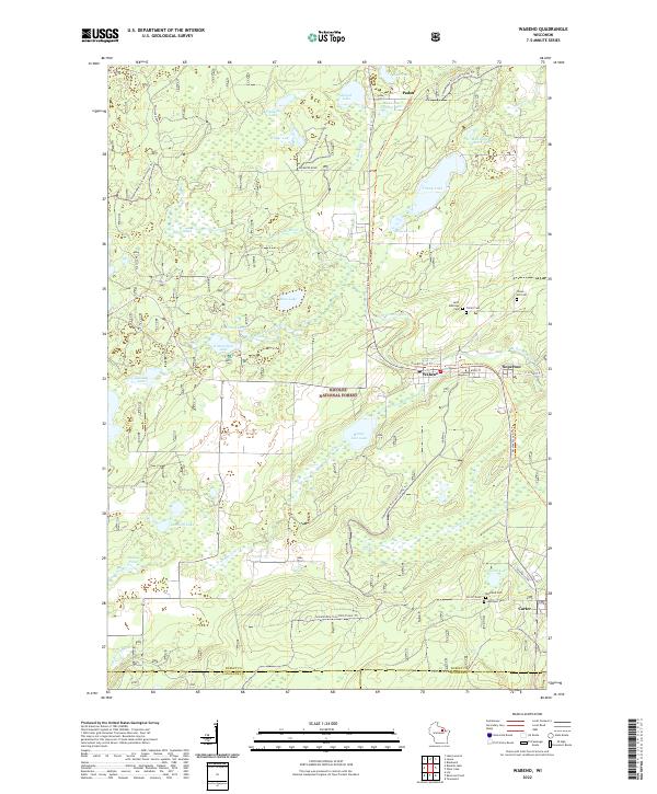 2022 Wabeno2022 Print · USGSForest County's timber and lake country is captured here during the early twenty-first century, centered on the historic lumber towns of Wabeno and Soperton. Researchers can locate several community landmarks including Saint Ambrose Cem, the Nicolet State Trl, and the waters of Trump Lake.
End of results
Showing maps 1-12 of 12
Top cities near Soperton
- Laona historical maps
- Wabeno historical maps
- Nashville historical maps
- Townsend historical maps
- Lakewood historical maps
- Goodman historical maps
See more
Frequently asked questions
- What are the different types of historical maps available for Soperton?
- What is the oldest map of Soperton?
- Where can I purchase historical maps of Soperton for my home or office?
- Where can I download high-res historical maps of Soperton?
- Are there historical topographic maps available for Soperton?
- Is there historical aerial imagery available for Soperton?
- Where are historical maps of Soperton sourced from?