Old Maps of Paris, Wisconsin for Hiking & Exploration
Hike through history with 32 historic maps of Paris. Explore old trails, ghost towns, and forgotten backroads — perfect for outdoor adventurers and local explorers.
- Rediscover forgotten places: Map out old mining camps, roads, and footpaths that no longer exist on modern maps.
- Layer with modern tools: Combine with LiDAR or satellite views to plan hikes through historical terrain.
- Made for exploration: Popular among hikers, overlanders, and local history lovers.
Use these maps to find adventure and explore the hidden past of Paris.
Paris, WI maps
(32)- 1900 Map of Lancaster
 1900 Lancaster1900 Print · USGSGrant County and the Mississippi River bluffs are captured at the close of the nineteenth century, showing a landscape of river towns and ridge-top farms. Researchers can trace the early rail corridors and vanished river landings from Cassville and Potosi to the county seat at Lancaster.
 - 1904 Map of Lancaster, 1953 Print
 1904 Lancaster1953 Print · USGSSouthwest Wisconsin and its neighboring river lands are shown at the turn of the century as railroads began to dominate the ridge tops. Researchers can trace the development of the river-and-rail economy through sites like Spechts Ferry, Sinsinawa Mound, and Lancaster.
 - 1908 Map of Lancaster
 1908 Lancaster1908 Print · USGSGrant County and the Mississippi River border appear in the first decade of the twentieth century, when river crossings and new rail lines defined local commerce. Researchers can trace the landings at Spechts Ferry and Mc Cartney or locate early settlements like British Hollow and Beetown.5 unique versions available
 - 1956 Map of Dubuque North, 1958 Print
 1956 Dubuque North1958 Print · USGSThe tri-state border region around Dubuque comes alive in the mid-1950s, revealing a landscape defined by river industry and deep-rooted community institutions. Researchers can trace the heritage of Loras College, find the old Eagle Point Bridge (Toll), and locate family sites near Linwood Cemetery.5 unique versions available
 - 1957 Map of Potosi, 1967 Print
 1957 Potosi1967 Print · USGSThe bluffs of Grant County meet the Mississippi River in the mid-1950s, revealing a landscape shaped by lead mining and river commerce. Genealogists can locate family landmarks like St Thomas Cem, Spechts Ferry, and the old Rigsby Sch.2 unique versions available
 - 1959 Map of Dubuque, 1982 Print
 1959 Dubuque1982 Print · USGSThe Tri-State region comes alive in the mid-twentieth century as a hub of river commerce and rail transit. Genealogists and historians can trace the paths of the Illinois Central Gulf through Dubuque or locate the Savanna Ordnance Depot and Lock and Dam No 11.
 - 1961 Map of Dubuque
 1961 Dubuque1961 Print · USGSThe Tri-State region's river-and-rail landscape is captured here during the early sixties, showing the convergence of Iowa, Illinois, and Wisconsin. Trace mid-century rail lines like the Chicago Great Western Ry and explore sites like the Savanna Ordnance Depot and Backbone State Park.
 - 1961 Map of Dickeyville, 1962 Print
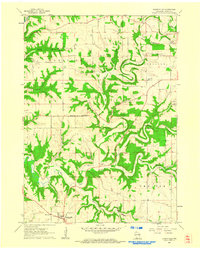 1961 Dickeyville1962 Print · USGSGrant County's rolling farmland and deep river valleys are captured here in the early sixties. Researchers can trace rural life through landmarks like the Little Grant Mine, family-named cemeteries such as Kaump Cem, and local schoolhouses like Maple Glen Sch.3 unique versions available
 - 1961 Map of Kieler, 1962 Print
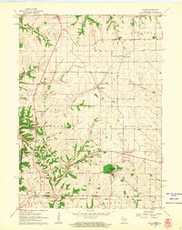 1961 Kieler1962 Print · USGSGrant County is captured in the early sixties as a region of upland farming and quiet river hollows along the state line. Researchers can trace rural landmarks from Sinsinawa Mound to the crossroads at Fair Play, Happy Corners, and the Jamestown Cem.3 unique versions available
 - 1962 Map of Dubuque
 1962 Dubuque1962 Print · USGSThe Tri-State region's river-and-rail economy is captured here in the early sixties, centered on the Mississippi River bluffs. Genealogists and historians can locate Numerous lead and zinc mines, the New Melleray Abbey Monastery, and rural hubs like Saint Olaf.2 unique versions available
 - 1976 Map of Dubuque
 1976 Dubuque1976 Print · USGSThe tri-state borderlands of Iowa, Wisconsin, and Illinois come alive during the mid-seventies, showing a region built on river commerce and mining. Genealogists and historians can trace the paths of the Illinois Central railroad or locate heritage sites like the New Melleray Abbey Monastery and Backbone State Park.
 - 1984 Map of Dubuque North, 1985 Print
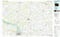 1984 Dubuque North1985 Print · USGSThis Tri-State region was a hub of Midwestern mining and river commerce in the mid-eighties. Researchers can trace the legacy of the Lead District through specific sites like Annie Mine or locate early civic centers such as First Capitol State Park.2 unique versions available
 - 2010 Map of Dickeyville, 2010 Print
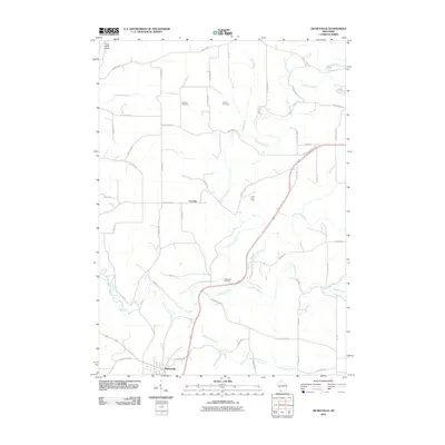 2010 Dickeyville2010 Print · USGSGrant County’s rolling agricultural landscape and river valleys are captured here at the start of the 2010s. Researchers can locate the Little Grant Mine, several pioneer burial sites like Kaump Cemetery, and the village of Dickeyville.
 - 2010 Map of Kieler, 2010 Print
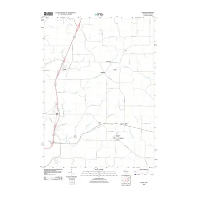 2010 Kieler2010 Print · USGSJamestown and the surrounding Grant County countryside are shown here as they appeared in the early twenty-first century. Genealogists can locate family sites near Sinsinawa Mound, Saint Clara Cemetery, and the old settlement of Sandy Hook.
 - 2010 Map of Potosi, 2010 Print
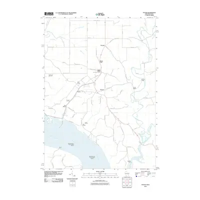 2010 Potosi2010 Print · USGSGrant County is captured here at the start of the twenty-first century as a landscape of river-valley settlements and quiet ridge roads. You can trace family roots at Saint Thomas Cemetery, locate the site of Spechts Ferry, and explore the hollows around Potosi and Tennyson.
 - 2010 Map of Dubuque North, 2010 Print
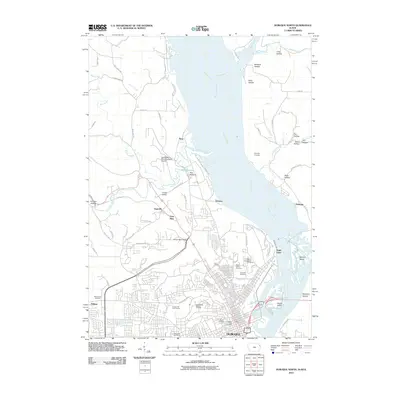 2010 Dubuque North2010 Print · USGSThe northern reaches of Dubuque and the Mississippi River bluffs are captured here during a period of modern expansion. Genealogists and historians can trace family plots across Linwood Cemetery or explore the outlying areas of Peru Bottoms and Frith Spur.
 - 2013 Map of Dubuque North, 2013 Print
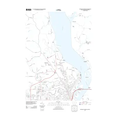 2013 Dubuque North2013 Print · USGSThe Mississippi River bluffs and Dubuque's northern reaches are detailed here just after the turn of the millennium. Genealogists and local historians can trace the development of Sageville, locate the Fair Ground, or study the grounds of Linwood Cemetery.
 - 2013 Map of Dickeyville, 2013 Print
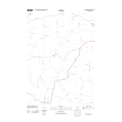 2013 Dickeyville2013 Print · USGSGrant County agriculture and river drainage are documented here in the early twenty-first century. Researchers can trace land holdings and water features like Brogley Farms, Blockhouse Cr, and the community of Dickeyville.
 - 2013 Map of Potosi, 2013 Print
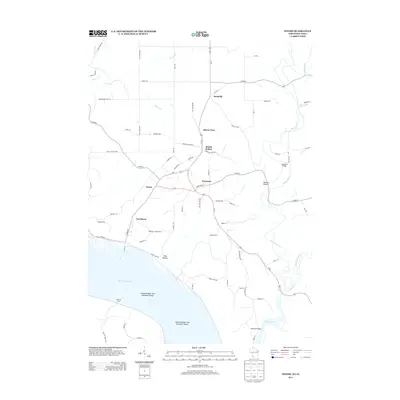 2013 Potosi2013 Print · USGSThe river bluffs of Grant County and the historic lead-mining district are captured here in the early 21st century. Trace the unique layout of interconnected settlements like Potosi, Tennyson, and British Hollow, or locate the river crossing at Spechts Ferry.
 - 2013 Map of Kieler, 2013 Print
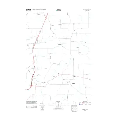 2013 Kieler2013 Print · USGSWisconsin's southern borderlands near the Mississippi come into focus in this early 21st-century survey of the region's agricultural and river landscape. Genealogists and local historians can trace family holdings like Beeler Tree Farm or locate the small settlements of Fair Play and Sandy Hook.
 - 2015 Map of Dubuque North, 2015 Print
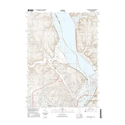 2015 Dubuque North2015 Print · USGSDubuque and its tri-state riverfront are captured here in the mid-2010s, showing the city's growth alongside the bluffs of the Mississippi. Researchers can trace the grounds of Loras Coll, the sprawling John Deere Dubuque Works, and historical sites like Eagle Point.
 - 2016 Map of Dickeyville, 2016 Print
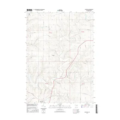 2016 Dickeyville2016 Print · USGSGrant County's rolling farmland and river valleys are captured here in the mid-2010s, centered on the community of Dickeyville. Local historians can locate family landmarks such as Harrison Cem, Piddington Cem, and the small settlement of Cornelia.
 - 2016 Map of Potosi, 2016 Print
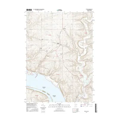 2016 Potosi2016 Print · USGSThe bluffs and coulees of Grant County meet the Mississippi River in this modern survey of the Wisconsin-Iowa borderlands. Genealogists and local historians can trace legacy sites like Saint Thomas Cem and the river-bottom islands near Potosi.
 - 2016 Map of Kieler, 2016 Print
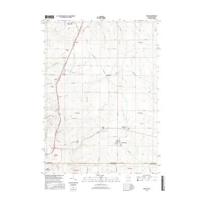 2016 Kieler2016 Print · USGSGrant County’s rolling Driftless terrain is captured here in the mid-2010s, showing a landscape of deep hollows and high ridges along the Illinois border. Researchers can locate historic rural centers like Fair Play and Louisburg, or trace family roots at Saint Clara Cem and Sinsinawa Mound.
 - 2018 Map of Dubuque North, 2018 Print
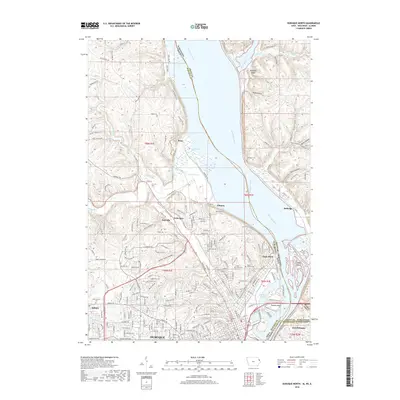 2018 Dubuque North2018 Print · USGSThe northern limits of Dubuque and the tri-state border region are mapped in detail during the late twenty-teens. Researchers can trace the development of Sageville, locate family plots in Linwood Cem, and explore river landmarks like Hamm Island.
Showing maps 1-25 of 32
Top cities near Paris
- Dubuque historical maps
- Platteville historical maps
- Asbury historical maps
- Lancaster historical maps
- Galena historical maps
- Jamestown historical maps
See more
Frequently asked questions
- What are the different types of historical maps available for Paris?
- What is the oldest map of Paris?
- Where can I purchase historical maps of Paris for my home or office?
- Where can I download high-res historical maps of Paris?
- Are there historical topographic maps available for Paris?
- Is there historical aerial imagery available for Paris?
- Where are historical maps of Paris sourced from?