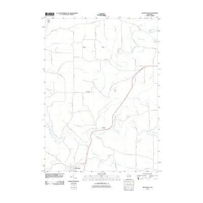
2010 Map of Dickeyville
USGS Topo · Published 2010About this map
Dickeyville and the smaller settlement of Cornelia anchor this portion of Grant County, where the dendritic drainage of the Little Platte River and its numerous tributaries like Blockhouse Creek and Whig Branch carve through the landscape. The map records several family and local burial grounds, including Harrison Cemetery, Kaump Cemetery, and Piddington Cemetery, which serve as vital markers for genealogists tracing early residents of the region. Evidence of the area's mining history is preserved at the Little Grant Mine located near a sharp bend in the river. The network of rural routes, from County Hwy-B to Clay Hollow Rd, follows the ridges and valleys, illustrating a persistent agricultural and extraction-based economy. Features like the Platte Road Bridge and various creek branches such as Snowden Branch further define the local topography.
Find a feature on this map
51 named features on this map. Tap any name to fly to it.
Don’t see what you’re looking for? This feature index may not catch every label — zoom into the map to look around manually.
Map Details
Editions of this 2010 Dickeyville Map
This is the sole edition of this map. No revisions or reprints were ever made.
Other maps of this area

1900 · Lancaster
USGS Topo · 1:125,000

1902 · Mineral Point
USGS Topo · 1:125,000

1904 · Lancaster
USGS Topo · 1:125,000

1908 · Lancaster
USGS Topo · 1:125,000

1952 · Platteville
USGS Topo · 1:24,000

1952 · Rewey
USGS Topo · 1:24,000

1952 · Cuba City
USGS Topo · 1:24,000

1956 · Dubuque North
USGS Topo · 1:24,000

1957 · Potosi
USGS Topo · 1:24,000

1959 · Dubuque
USGS Topo · 1:250,000