2020s Maps of Monroe, Wisconsin
Explore 3 historic maps of Monroe from the 2020s. These maps offer a rare glimpse into what life looked like during the 2020s — showing old roads, neighborhoods, homes, and landmarks that have changed or disappeared over time.
Whether you're researching your family's past, planning a metal detecting trip, or studying how Monroe's landscape evolved across the 2020s, these high-resolution maps are a powerful tool for exploring the history of this region.
- Focus on a specific era: All maps on this page are from the 2020s, giving you a focused view of this time period.
- See what’s changed: Compare century-old streets, trails, and buildings to today's modern landscape using overlays and satellite layers.
- Research with precision: Use these maps for genealogy, historical research, land use analysis, or educational projects.
- View, download, or print: Maps are fully viewable online in high resolution, and can be downloaded or printed for your own records.
Start exploring Monroe's history through authentic maps from the 2020s. This is your window into the past.
Monroe, WI maps
(3)- 2022 Map of Monroe NW, 2022 Print
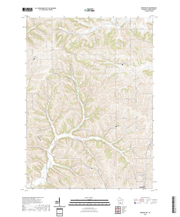 2022 Monroe NW2022 Print · USGSGreen County's agricultural heartland is documented here in the early twenty-first century, showing the enduring rural layout north of Monroe. Trace ancestral sites like Shooks Prairie Cem and Union Benkert Cem among the headwaters of Bushnell Cr.
 - 2022 Map of Juda, 2022 Print
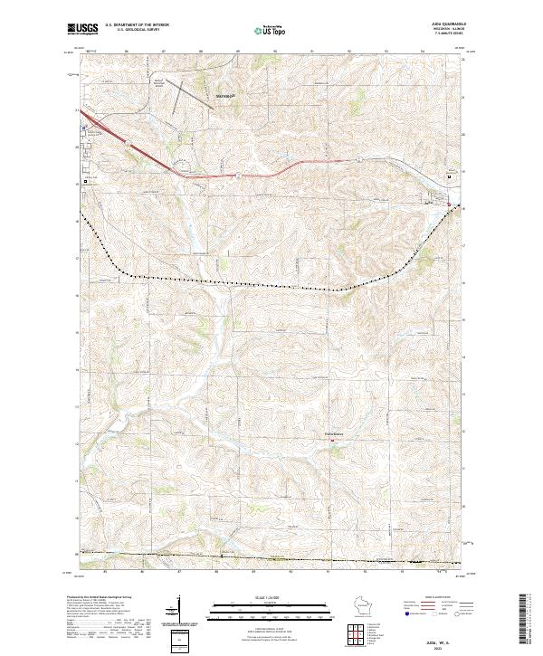 2022 Juda2022 Print · USGSThe rolling dairy country of Green County meets the Illinois border in this contemporary survey. Local researchers can locate Juda and Twin Grove, or find family names at Mount Vernon Cem and Greenwood Cem.
 - 2022 Map of Monroe, 2022 Print
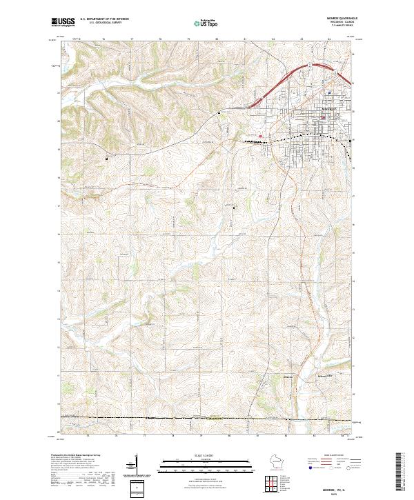 2022 Monroe2022 Print · USGSMonroe and the southern borderlands of Green County are shown here in the 2020s, highlighting the area's rural character and state-line connections. Researchers can trace local history through sites like Schneyville, Clarno, and old family burial grounds including Franklin Cem.
End of results
Showing maps 1-3 of 3
Top cities near Monroe
- Lena historical maps
- New Glarus historical maps
- Exeter historical maps
- Rock Grove historical maps
- Oneco historical maps
- Monticello historical maps
See more
Top neighborhoods of Monroe
Frequently asked questions
- What are the different types of historical maps available for Monroe?
- What is the oldest map of Monroe?
- Where can I purchase historical maps of Monroe for my home or office?
- Where can I download high-res historical maps of Monroe?
- Are there historical topographic maps available for Monroe?
- Is there historical aerial imagery available for Monroe?
- Where are historical maps of Monroe sourced from?