Old Maps of Monroe, Wisconsin for Metal Detecting
Plan your next treasure hunt with 26 historic maps of Monroe. Find old homesites, ghost towns, trails, and gathering spots that may be lost to time — perfect for identifying promising metal detecting locations.
- Locate forgotten sites: Uncover places like long-lost settlements, abandoned rail lines, or gathering spots.
- Plan better hunts: Use map overlays combined with LiDAR or satellite views to narrow in on historically rich areas.
- Made for detectorists: Thousands of hobbyists use these maps to discover relics, coins, and hidden history.
Use these historic maps to boost your research and find new opportunities beneath the surface of Monroe.
Monroe, WI maps
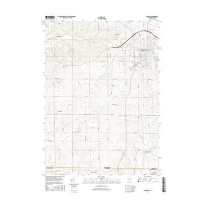
(26)- 1920 Map of Monroe, 1960 Print
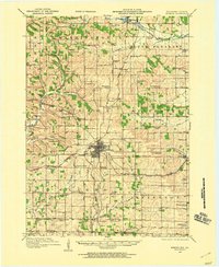 1920 Monroe1960 Print · USGSGreen County at the start of the twenties was a landscape of thriving rail towns and dozens of country schoolhouses. Genealogists can trace family footprints near named sites like Hardscrabble School, the County Farm, or along the Sugar River valley.
 - 1922 Map of Monroe
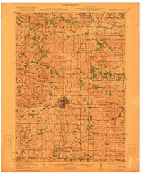 1922 Monroe1922 Print · USGSGreen County at the start of the twenties reveals a landscape of thriving rural school districts and busy rail lines. Genealogists can locate family-named landmarks like Hardscrabble School, the County Farm, and the early village of Juda.
 - 1954 Map of Rockford
 1954 Rockford1954 Print · USGSThe Rock River valley and the Illinois-Wisconsin borderlands are captured here in the mid-1950s during a period of robust industrial and agricultural activity. Genealogists and historians can trace rail-era corridors like the Illinois Central RR and locate landmarks from Big Foot Prairie to Lake Geneva.
 - 1955 Map of Rockford
 1955 Rockford1955 Print · USGSThe Rock River valley and southern Wisconsin dairy country are shown here in the mid-fifties as the region's manufacturing centers grew. Genealogists and historians can trace the paths of the Chicago and North Western RR and Illinois Central RR through hubs like Rockford and Beloit.
 - 1958 Map of Rockford, 1974 Print
 1958 Rockford1974 Print · USGSNorthern Illinois and southern Wisconsin are shown here in the mid-twentieth century as rail-dependent industrial towns began to interface with growing lakefront communities. Genealogists can trace family roots through settlements like Saylesville and Tess Corners or locate historical landmarks like the Rockford Ordnance Depot.4 unique versions available
 - 1962 Map of Juda, 1964 Print
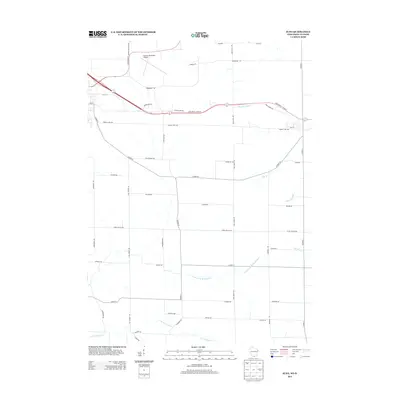
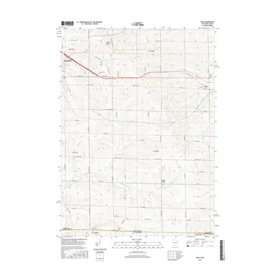
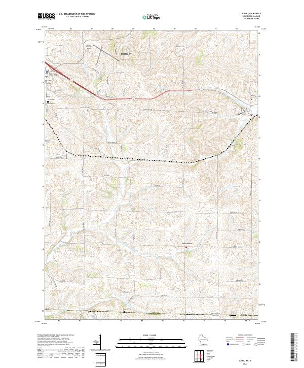
 1962 Juda1964 Print · USGSThe Wisconsin-Illinois borderlands come to life in this early 1960s survey, detailing the rural landscape around Juda and Twin Grove. Genealogists and historians can trace family locations near several rural landmarks including Fairfield Cemetery, Fairfield Church, and the winding Richland Creek.3 unique versions available
 - 1962 Map of Monroe NW, 1964 Print
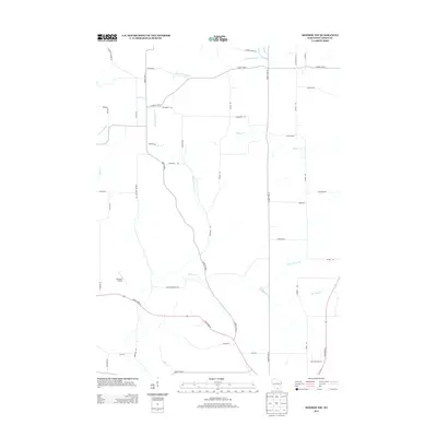
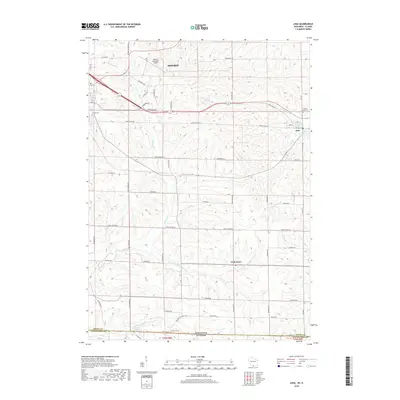
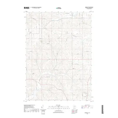
 1962 Monroe NW1964 Print · USGSGreen County farming life in the early sixties centers on a network of rural schools and family cemeteries. Genealogists can trace local heritage through the Washington Ch, Behken Cem, and numerous schoolhouses like Buckskin Sch.2 unique versions available
 - 1962 Map of Monroe, 1964 Print
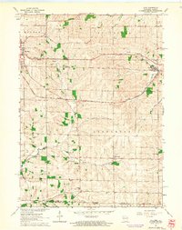
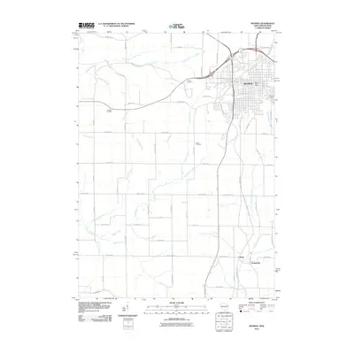
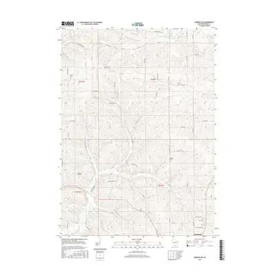
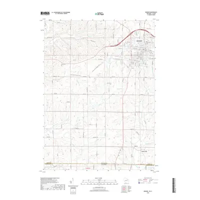
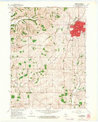 1962 Monroe1964 Print · USGSMonroe and the surrounding Green County dairy country are captured in the early sixties as the city expanded along its vital rail lines. Genealogists can locate family-named sites like Staver's Church and Franklin Cemetery or trace old rural schoolhouses such as Uttley School.2 unique versions available
 - 1962 Map of Monroe, 1964 Print
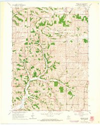
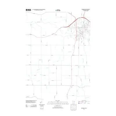
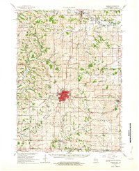 1962 Monroe1964 Print · USGSGreen County in the early sixties remains a center of rail-and-river commerce where the Illinois Central meets the Monroe city limits. Genealogists can trace family footprints through numerous rural sites like Dutch Hollow Sch, Calvary Cem, and the village of Monticello.2 unique versions available
 - 1963 Map of Rockford
 1963 Rockford1963 Print · USGSThe mid-century industrial corridor along the Rock River is shown here during a period of rapid post-war growth. Researchers can trace the extensive rail lines of the Chicago and North Western or locate local landmarks like the Rockford Ordnance Depot and Holy Hill.
 - 1981 Map of Monroe
 1981 Monroe1981 Print · USGSSouthern Wisconsin and the Illinois borderlands come into focus in the early 1980s, showcasing a landscape defined by dairy farming and river valleys. Genealogists can trace family roots through historic hubs like Monroe, Stoughton, and Brodhead, or locate regional landmarks such as Yellowstone Lake and the Sugar River.
 - 2010 Map of Juda, 2010 Print
 2010 Juda2010 Print · USGSCovers Monroe, including Clarno, Sylvester, and other nearby areas
 - 2010 Map of Monroe NW, 2010 Print
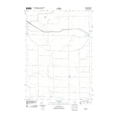
 2010 Monroe NW2010 Print · USGSCovers Monroe, including Washington, Jordan, and other nearby areas
 - 2010 Map of Monroe, 2010 Print
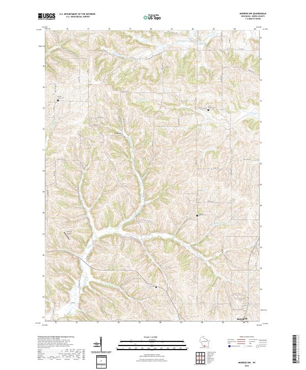
 2010 Monroe2010 Print · USGSCovers Monroe, including Clarno, Schueyville, and other nearby areas
 - 2013 Map of Monroe NW, 2013 Print
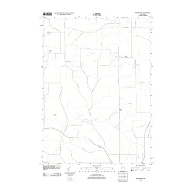
 2013 Monroe NW2013 Print · USGSCovers Monroe, including Washington, Jordan, and other nearby areas
 - 2013 Map of Monroe, 2013 Print
 2013 Monroe2013 Print · USGSCovers Monroe, including Clarno, Schueyville, and other nearby areas
 - 2013 Map of Juda, 2013 Print
 2013 Juda2013 Print · USGSCovers Monroe, including Clarno, Sylvester, and other nearby areas
 - 2016 Map of Monroe NW, 2016 Print
 2016 Monroe NW2016 Print · USGSCovers Monroe, including Washington, Jordan, and other nearby areas
 - 2016 Map of Monroe, 2016 Print
 2016 Monroe2016 Print · USGSCovers Monroe, including Clarno, Schueyville, and other nearby areas
 - 2016 Map of Juda, 2016 Print
 2016 Juda2016 Print · USGSCovers Monroe, including Clarno, Sylvester, and other nearby areas
 - 2018 Map of Juda, 2018 Print
 2018 Juda2018 Print · USGSCovers Monroe, including Clarno, Sylvester, and other nearby areas
 - 2018 Map of Monroe, 2018 Print
 2018 Monroe2018 Print · USGSCovers Monroe, including Clarno, Schueyville, and other nearby areas
 - 2018 Map of Monroe NW, 2018 Print
 2018 Monroe NW2018 Print · USGSCovers Monroe, including Washington, Jordan, and other nearby areas
 - 2022 Map of Monroe NW, 2022 Print
 2022 Monroe NW2022 Print · USGSGreen County's agricultural heartland is documented here in the early twenty-first century, showing the enduring rural layout north of Monroe. Trace ancestral sites like Shooks Prairie Cem and Union Benkert Cem among the headwaters of Bushnell Cr.
 - 2022 Map of Juda, 2022 Print
 2022 Juda2022 Print · USGSThe rolling dairy country of Green County meets the Illinois border in this contemporary survey. Local researchers can locate Juda and Twin Grove, or find family names at Mount Vernon Cem and Greenwood Cem.
Showing maps 1-25 of 26
Top cities near Monroe
- Lena historical maps
- New Glarus historical maps
- Exeter historical maps
- Rock Grove historical maps
- Oneco historical maps
- Monticello historical maps
See more
Top neighborhoods of Monroe
Frequently asked questions
- What are the different types of historical maps available for Monroe?
- What is the oldest map of Monroe?
- Where can I purchase historical maps of Monroe for my home or office?
- Where can I download high-res historical maps of Monroe?
- Are there historical topographic maps available for Monroe?
- Is there historical aerial imagery available for Monroe?
- Where are historical maps of Monroe sourced from?