Old Maps of Linden, Wisconsin for Hiking & Exploration
Hike through history with 30 historic maps of Linden. Explore old trails, ghost towns, and forgotten backroads — perfect for outdoor adventurers and local explorers.
- Rediscover forgotten places: Map out old mining camps, roads, and footpaths that no longer exist on modern maps.
- Layer with modern tools: Combine with LiDAR or satellite views to plan hikes through historical terrain.
- Made for exploration: Popular among hikers, overlanders, and local history lovers.
Use these maps to find adventure and explore the hidden past of Linden.
Linden, WI maps
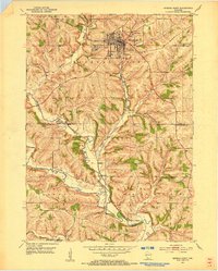
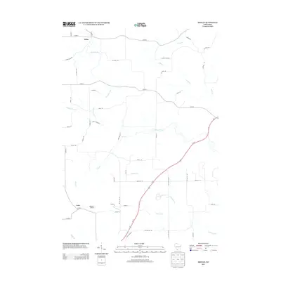
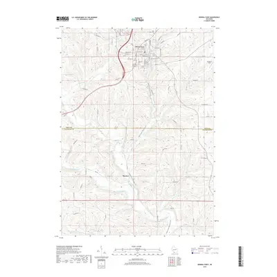
(30)- 1902 Map of Mineral Point
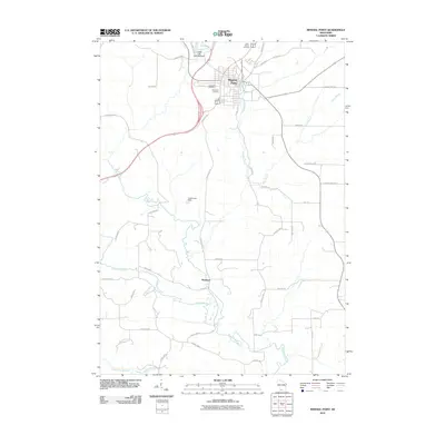
 1902 Mineral Point1902 Print · USGSSouthwest Wisconsin and Northern Illinois are mapped here at the height of the regional mining era. Genealogists and historians can trace the rail lines of the Illinois Central to vanished junctions and local landmarks like Meekers Grove, Calamine, and Elk Grove.4 unique versions available
 - 1952 Map of Mineral Point, 1954 Print
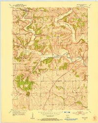
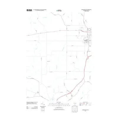
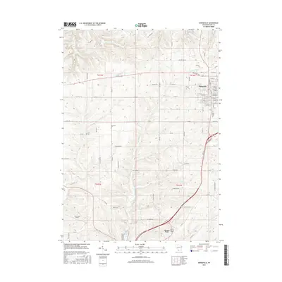
 1952 Mineral Point1954 Print · USGSMineral Point and its surrounding lead-mining country are shown here in the early fifties, just as the rural school system remained intact. Genealogists can locate family sites near Willow Springs Church, St. Marys Cemetery, or small districts like Slateford and Seven Oaks School.3 unique versions available
 - 1952 Map of Dodgeville, 1954 Print
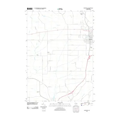
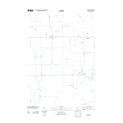
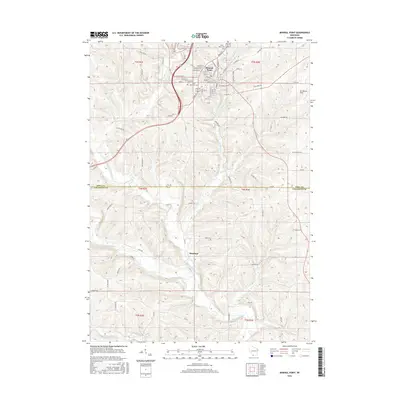
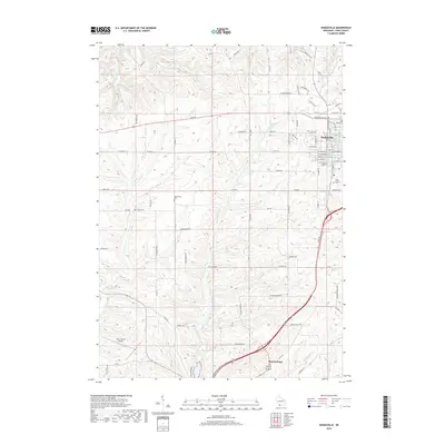
 1952 Dodgeville1954 Print · USGSDodgeville and the surrounding townships in the early 1950s reveal a landscape of tight-knit rural communities connected by rail and stream. Genealogists can trace family roots through numerous local landmarks like Bethlehem Ch, Diamond Grove Sch, and St Joseph Cem.3 unique versions available
 - 1952 Map of Linden, 1954 Print
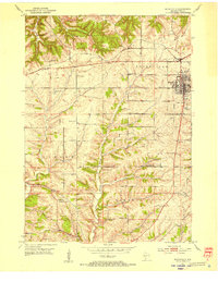
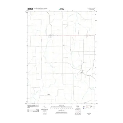
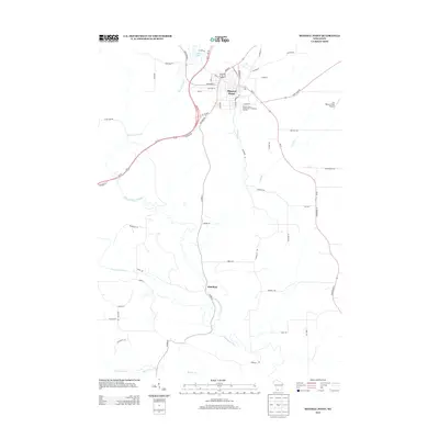
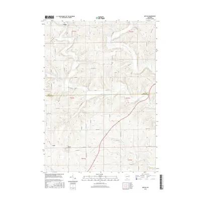
 1952 Linden1954 Print · USGSWisconsin's Driftless Area reveals its mid-century character here, as the mining industry and small-town rail life intersect. Genealogists and historians can trace the locations of rural schools like Whitson View School and explore the rail corridor of the Chicago and North Western.
 - 1952 Map of Mifflin, 1954 Print
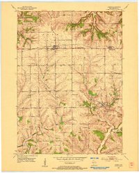
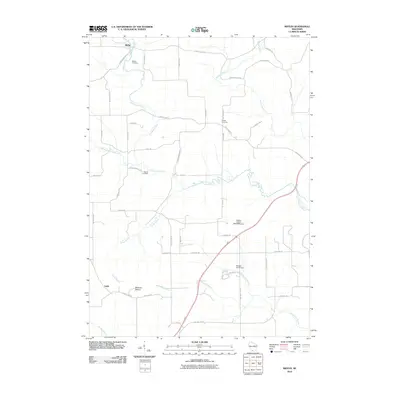
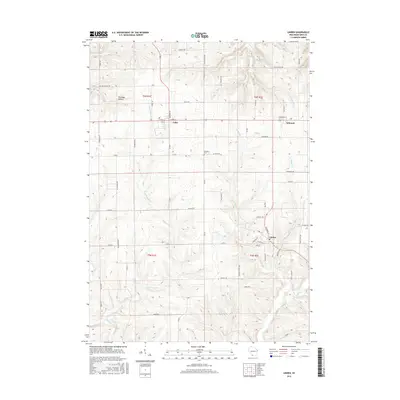
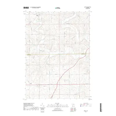
 1952 Mifflin1954 Print · USGSIowa and Lafayette counties in the early fifties show a landscape where mining and pioneer history meet. Genealogists and researchers can trace rural school districts like Jericho Sch, find the historic First Capitol State Park, and locate family plots at Mifflin Cem.2 unique versions available
 - 1959 Map of Dubuque, 1982 Print
 1959 Dubuque1982 Print · USGSThe Tri-State region comes alive in the mid-twentieth century as a hub of river commerce and rail transit. Genealogists and historians can trace the paths of the Illinois Central Gulf through Dubuque or locate the Savanna Ordnance Depot and Lock and Dam No 11.
 - 1961 Map of Dubuque
 1961 Dubuque1961 Print · USGSThe Tri-State region's river-and-rail landscape is captured here during the early sixties, showing the convergence of Iowa, Illinois, and Wisconsin. Trace mid-century rail lines like the Chicago Great Western Ry and explore sites like the Savanna Ordnance Depot and Backbone State Park.
 - 1962 Map of Dubuque
 1962 Dubuque1962 Print · USGSThe Tri-State region's river-and-rail economy is captured here in the early sixties, centered on the Mississippi River bluffs. Genealogists and historians can locate Numerous lead and zinc mines, the New Melleray Abbey Monastery, and rural hubs like Saint Olaf.2 unique versions available
 - 1976 Map of Dubuque
 1976 Dubuque1976 Print · USGSThe tri-state borderlands of Iowa, Wisconsin, and Illinois come alive during the mid-seventies, showing a region built on river commerce and mining. Genealogists and historians can trace the paths of the Illinois Central railroad or locate heritage sites like the New Melleray Abbey Monastery and Backbone State Park.
 - 1984 Map of Dubuque North, 1985 Print
 1984 Dubuque North1985 Print · USGSThis Tri-State region was a hub of Midwestern mining and river commerce in the mid-eighties. Researchers can trace the legacy of the Lead District through specific sites like Annie Mine or locate early civic centers such as First Capitol State Park.2 unique versions available
 - 2010 Map of Linden, 2010 Print
 2010 Linden2010 Print · USGSCovers Linden, including Mifflin, Cobb, and other nearby areas
 - 2010 Map of Mineral Point, 2010 Print
 2010 Mineral Point2010 Print · USGSCovers Linden, including Mineral Point, Mineral Point, and other nearby areas
 - 2010 Map of Mifflin, 2010 Print
 2010 Mifflin2010 Print · USGSCovers Linden, including Mifflin, Mineral Point, and other nearby areas
 - 2010 Map of Dodgeville, 2010 Print
 2010 Dodgeville2010 Print · USGSCovers Linden, including Dodgeville, Mineral Point, and other nearby areas
 - 2013 Map of Mifflin, 2013 Print
 2013 Mifflin2013 Print · USGSCovers Linden, including Mifflin, Mineral Point, and other nearby areas
 - 2013 Map of Linden, 2013 Print
 2013 Linden2013 Print · USGSCovers Linden, including Mifflin, Cobb, and other nearby areas
 - 2013 Map of Mineral Point, 2013 Print
 2013 Mineral Point2013 Print · USGSCovers Linden, including Mineral Point, Mineral Point, and other nearby areas
 - 2013 Map of Dodgeville, 2013 Print
 2013 Dodgeville2013 Print · USGSCovers Linden, including Dodgeville, Mineral Point, and other nearby areas
 - 2016 Map of Mifflin, 2016 Print
 2016 Mifflin2016 Print · USGSCovers Linden, including Mifflin, Mineral Point, and other nearby areas
 - 2016 Map of Dodgeville, 2016 Print
 2016 Dodgeville2016 Print · USGSCovers Linden, including Dodgeville, Mineral Point, and other nearby areas
 - 2016 Map of Mineral Point, 2016 Print
 2016 Mineral Point2016 Print · USGSCovers Linden, including Mineral Point, Mineral Point, and other nearby areas
 - 2016 Map of Linden, 2016 Print
 2016 Linden2016 Print · USGSCovers Linden, including Mifflin, Cobb, and other nearby areas
 - 2018 Map of Mineral Point, 2018 Print
 2018 Mineral Point2018 Print · USGSCovers Linden, including Mineral Point, Mineral Point, and other nearby areas
 - 2018 Map of Dodgeville, 2018 Print
 2018 Dodgeville2018 Print · USGSCovers Linden, including Dodgeville, Mineral Point, and other nearby areas
 - 2018 Map of Mifflin, 2018 Print
 2018 Mifflin2018 Print · USGSCovers Linden, including Mifflin, Mineral Point, and other nearby areas
Showing maps 1-25 of 30
Top cities near Linden
- Platteville historical maps
- Dodgeville historical maps
- Mineral Point historical maps
- Darlington historical maps
- Belmont historical maps
- Wiota historical maps
See more
Top neighborhoods of Linden
Frequently asked questions
- What are the different types of historical maps available for Linden?
- What is the oldest map of Linden?
- Where can I purchase historical maps of Linden for my home or office?
- Where can I download high-res historical maps of Linden?
- Are there historical topographic maps available for Linden?
- Is there historical aerial imagery available for Linden?
- Where are historical maps of Linden sourced from?