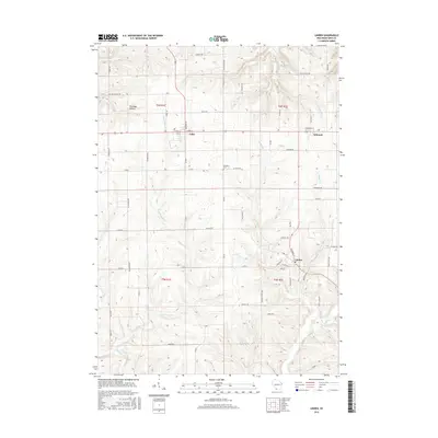
2016 Map of Linden
USGS Topo · Published 2016About this map
Linden serves as a primary hub in this Iowa County landscape, where the local road network converges near Peddler Cr. The terrain is defined by the winding course of the Pecatonica River in the south and the Blue River to the northwest, carving through the upland geography of southwest Wisconsin. Smaller settlements like Cobb and Edmund are situated along a prominent east-west corridor, reflecting the historical development of transit through the region's agricultural and mining heartland.
Find a feature on this map
67 named features on this map. Tap any name to fly to it.
Don’t see what you’re looking for? This feature index may not catch every label — zoom into the map to look around manually.
Map Details
Editions of this 2016 Linden Map
This is the sole edition of this map. No revisions or reprints were ever made.
Other maps of this area

1902 · Mineral Point
USGS Topo · 1:125,000

1905 · Richland Center
USGS Topo · 1:125,000

1952 · Rewey
USGS Topo · 1:24,000

1952 · Montfort
USGS Topo · 1:24,000

1952 · Mineral Point
USGS Topo · 1:24,000

1952 · Dodgeville
USGS Topo · 1:24,000

1952 · Linden
USGS Topo · 1:24,000

1952 · Mifflin
USGS Topo · 1:24,000

1958 · La Crosse
USGS Topo · 1:250,000

1959 · Dubuque
USGS Topo · 1:250,000