Old Maps of Bear Bluff, Wisconsin for Academic Research
Study the evolution of Bear Bluff with 30 high-resolution historic maps. Whether you're teaching, researching, or modeling changes in land use, these maps provide essential visual documentation of urban, environmental, and geographic change.
- Analyze long-term change: Track patterns in development, transportation, and natural features.
- Ideal for environmental or urban studies: Support academic projects with primary historical map data.
- Use in the classroom or lab: Educators and researchers rely on these maps to bring historical context to life.
These maps are a powerful tool for teaching, research, and visualizing how Bear Bluff has changed over the decades.
Bear Bluff, WI maps
(30)- 1953 Map of Eau Claire, 1965 Print
 1953 Eau Claire1965 Print · USGSWest-central Wisconsin in the mid-fifties shows a landscape of river-valley industry and vast wildlife refuges during the transition from rails to modern highways. Genealogists and historians can trace the rail corridors of the Chicago and North Western or locate family-named landmarks like Decorah Mound and Chippewa Island.4 unique versions available
 - 1957 Map of City Point, 1960 Print
 1957 City Point1960 Print · USGSJackson and Clark Counties are shown here in the late fifties, dominated by the timber and cranberry industries of the Central Wisconsin Sand County. Genealogists and historians can locate rural landmarks like Audubon Sch, Martyrs Cem, and the old rail siding at Spaulding.2 unique versions available
 - 1958 Map of Eau Claire
 1958 Eau Claire1958 Print · USGSWestern Wisconsin in the late fifties shows a landscape of growing regional hubs and massive wildlife refuges. Trace the rail lines of the Chicago and North Western between Eau Claire and Marshfield, or explore the terrain around Iron Mound and Lake Wissota.
 - 1958 Map of Wyeville, 1960 Print
 1958 Wyeville1960 Print · USGSWisconsin's cranberry and timber country is documented here in the late fifties, centered on the rail junctions of Monroe and Juneau Counties. You can trace the rural infrastructure of the day, from the Indian Cem and St Marks Ch to the Chicago and North Western rail lines.
 - 1964 Map of Eau Claire
 1964 Eau Claire1964 Print · USGSWest-central Wisconsin in the mid-1960s was a hub of river-driven industry and expanding rail networks. Researchers can trace historic homesteads near Menomonie, follow the Soo Line RR through Marshfield, or explore the grounds of the Camp McCoy Military Reservation.
 - 1970 Map of Mather, 1972 Print
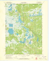 1970 Mather1972 Print · USGSThe cranberry bogs and flowages of Juneau County are at their peak development in this 1970s record of the central Wisconsin marshes. Genealogists and historians can locate Mather, the Oak Grove Cem, and the old rail-aligned settlement of Norway Ridge.
 - 1970 Map of Spaulding, 1972 Print
 1970 Spaulding1972 Print · USGSJackson County’s cranberry country and railroad corridors are captured here in the early seventies. Genealogists and local historians can trace the tracks through Pray and Spaulding or locate landmarks like Potter Flowage and Saddle Mound.2 unique versions available
 - 1970 Map of City Point, 1972 Print
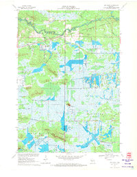 1970 City Point1972 Print · USGSWood County’s cranberry country and rail history are well-preserved here in the early seventies, centered on the junction at City Point. Researchers can trace the legacy of local families through the Martyrs Cem City Point Cem and the complex drainage of the Remington Ditch and Bissig Ditch.3 unique versions available
 - 1970 Map of Warrens East, 1972 Print
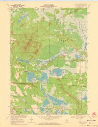 1970 Warrens East1972 Print · USGSIn the early 1970s, the border between Jackson and Monroe counties was defined by industrial cranberry cultivation and vast conservation areas. Genealogists and local historians can trace family-named landmarks like Morman Cem and Miles Peak or locate old transit points such as Bear Bluff Station.
 - 1985 Map of Black River Falls
 1985 Black River Falls1985 Print · USGSCentral Wisconsin in the mid-1980s is defined by its sprawling wildlife refuges and the winding Black River corridor. Genealogists and researchers can trace rural settlements like Millston and Warrens or locate historical sites such as the Iron Mine and the grounds of Fort McCoy.2 unique versions available
 - 2010 Map of Mather, 2010 Print
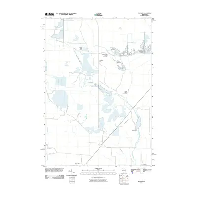 2010 Mather2010 Print · USGSMather and Norway Ridge were hubs of activity in central Wisconsin during the early twenty-first century, surrounded by a complex system of dams and flowages. Researchers can trace the water-management history of the region through labels like the Meadow Valley Flowage 2WP395 Dam and 16 Reservoir.
 - 2010 Map of Spaulding, 2010 Print
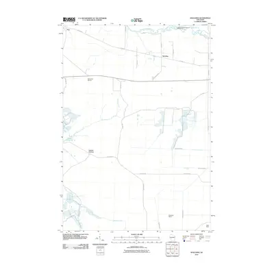 2010 Spaulding2010 Print · USGSThe marshlands of Jackson County come alive in this early 21st-century survey of the Spaulding area. Genealogists and local historians can trace family road names and hydrological landmarks like Potter Flowage 58, Sugarloaf Mound, and Drescher Island.
 - 2010 Map of City Point, 2010 Print
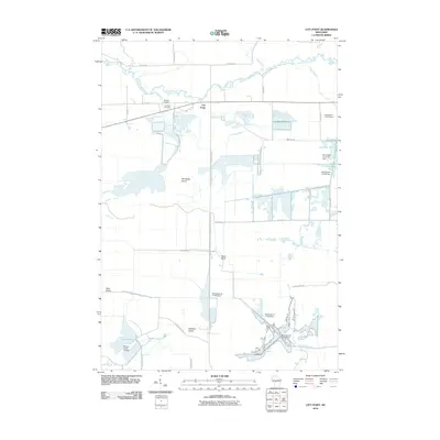 2010 City Point2010 Print · USGSCity Point and the surrounding Jackson County wetlands are captured here in the early twenty-first century, showing a landscape shaped by water and wood. Researchers can trace local lineage at Martyrs Cemetery or explore the network of dams and canals including Remington Ditch and Van Tassle Island.
 - 2010 Map of Warrens East, 2010 Print
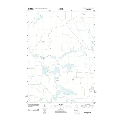 2010 Warrens East2010 Print · USGSCranberry country and sophisticated water management define the area around Warrens during the early 21st century. Researchers can trace the drainage of Sawdust Marsh and locate several regional landmarks including Strozewski Dam and Hunters Peak.
 - 2013 Map of Warrens East, 2013 Print
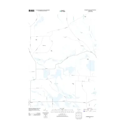 2013 Warrens East2013 Print · USGSMonroe County’s cranberry bogs and marshlands are on full display in this early twenty-first-century survey of the area surrounding Warrens. Researchers can trace the complex water systems of Sawdust Marsh or locate local landmarks like Miles Peak and Taylor Island.
 - 2013 Map of Spaulding, 2013 Print
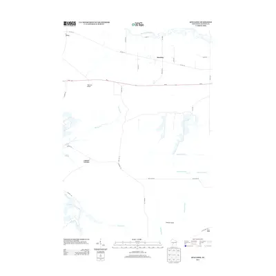 2013 Spaulding2013 Print · USGSJackson County's wooded marshlands and river corridors are documented here during the early twenty-first century. Researchers can trace local landmarks like Sugarloaf Mound and the drainage networks of the North Floater Ditch near the settlement of Spaulding.
 - 2013 Map of City Point, 2013 Print
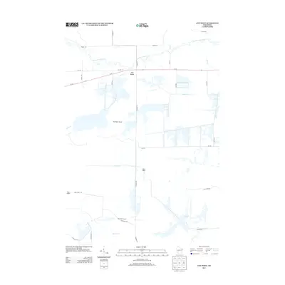 2013 City Point2013 Print · USGSJackson County's wetland landscape is captured here in the early twenty-first century, centered on the small community of City Point. Genealogists and local historians can trace family-named landmarks like Van Tassle Island and Ketchum Island among a complex network of drainage works including Weisner Ditch.
 - 2013 Map of Mather, 2013 Print
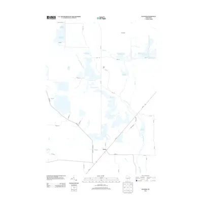 2013 Mather2013 Print · USGSThe managed wetlands and small community of Mather define this Jackson County landscape during the early twenty-first century. Genealogists and local historians can trace rural routes and water features like Cem Hill, Kingston Flowage, and Juleane Reservoir.
 - 2015 Map of Mather, 2015 Print
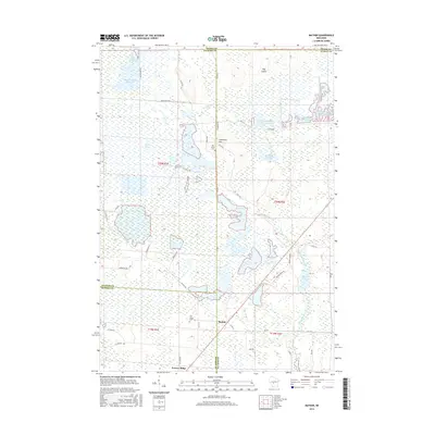 2015 Mather2015 Print · USGSMather and Norway Ridge are depicted here in the mid-2010s, situated within the vast wetland complexes of central Wisconsin. Genealogists and researchers can locate Oak Grove Cem, Pine Grove Cem, and local landmarks like Hog Island.
 - 2015 Map of Spaulding, 2015 Print
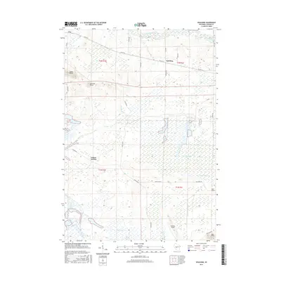 2015 Spaulding2015 Print · USGSJackson County's central marshlands are documented here in the mid-2010s, showing the intersection of natural river systems and extensive human drainage. Researchers can trace the legacy of small settlements like Spaulding and Pray or locate distinctive landforms like Saddle Mound and Bear Bluff.
 - 2015 Map of City Point, 2015 Print
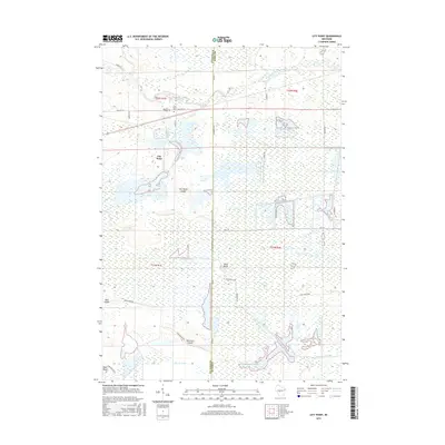 2015 City Point2015 Print · USGSCity Point and the surrounding marshes of the Jackson-Wood county line are shown here as they appeared in the early twenty-first century. Researchers can trace the extensive drainage network of the Weisner Ditch or locate local burial sites like City Point Cem and Martyrs Cem.
 - 2015 Map of Warrens East, 2015 Print
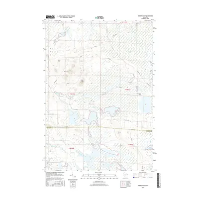 2015 Warrens East2015 Print · USGSCentral Wisconsin wetlands and cranberry country are documented here in the mid-2010s, spanning the Monroe and Jackson county line. Researchers can trace the water systems of Scott Flowage and Goodyear Lake or locate high ground at Ball Bluff and the Winkler Hills.
 - 2018 Map of Mather, 2018 Print
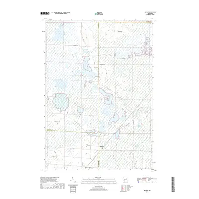 2018 Mather2018 Print · USGSThe tri-county border of Juneau, Monroe, and Jackson counties comes into focus in this recent study of a water-dominated landscape. Trace local family roots at Oak Grove Cem or Pine Grove Cem, and explore the vast wetland networks of Beaver Flowage and Hog Island.
 - 2018 Map of Spaulding, 2018 Print
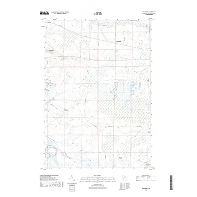 2018 Spaulding2018 Print · USGSJackson County's wetlands and isolated elevations are recorded here in the late twenty-teens. Trace the network of drainage systems like N Floater Ditch and Hunters Peak Ditch near Spaulding and the landmark Sugarloaf Mound.
 - 2018 Map of Warrens East, 2018 Print
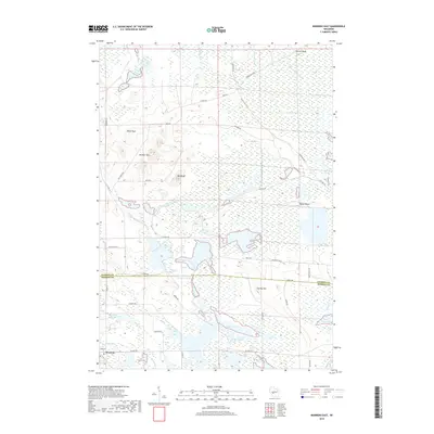 2018 Warrens East2018 Print · USGSThe Wisconsin cranberry country of Monroe and Jackson Counties is depicted here in the late twenty-teens, showing the intersection of wetlands and water management. Trace the complex drainage of Goodyear Ditch or find family-named landmarks like Stanley Hill and Ball Bluff.
Showing maps 1-25 of 30
Top cities near Bear Bluff
- Tomah historical maps
- Cutler historical maps
- Sherwood historical maps
- Warrens historical maps
- City Point historical maps
- Millston historical maps
See more
Frequently asked questions
- What are the different types of historical maps available for Bear Bluff?
- What is the oldest map of Bear Bluff?
- Where can I purchase historical maps of Bear Bluff for my home or office?
- Where can I download high-res historical maps of Bear Bluff?
- Are there historical topographic maps available for Bear Bluff?
- Is there historical aerial imagery available for Bear Bluff?
- Where are historical maps of Bear Bluff sourced from?