Old Maps of North Bend, Wisconsin for Hiking & Exploration
Hike through history with 30 historic maps of North Bend. Explore old trails, ghost towns, and forgotten backroads — perfect for outdoor adventurers and local explorers.
- Rediscover forgotten places: Map out old mining camps, roads, and footpaths that no longer exist on modern maps.
- Layer with modern tools: Combine with LiDAR or satellite views to plan hikes through historical terrain.
- Made for exploration: Popular among hikers, overlanders, and local history lovers.
Use these maps to find adventure and explore the hidden past of North Bend.
North Bend, WI maps
(30)- 1926 Map of North Bend, 1965 Print
 1926 North Bend1965 Print · USGSJackson and La Crosse counties are shown here in the mid-twenties, when the Black River valley was dotted with small family farms and dozens of rural school districts. Genealogists can trace ancestral locations near Stevenstown, Mindoro, and Upper Beaver Creek Ch.
 - 1929 Map of North Bend
 1929 North Bend1929 Print · USGSWisconsin's coulee country comes alive in this late 1920s survey of the tri-county borderlands along the Black River. Genealogists and local historians can trace family-named landmarks and rural hubs like Beachs Corners, Burr Oak, and the many one-room schoolhouses like Lone Star Sch.2 unique versions available
 - 1953 Map of Eau Claire, 1965 Print
 1953 Eau Claire1965 Print · USGSWest-central Wisconsin in the mid-fifties shows a landscape of river-valley industry and vast wildlife refuges during the transition from rails to modern highways. Genealogists and historians can trace the rail corridors of the Chicago and North Western or locate family-named landmarks like Decorah Mound and Chippewa Island.4 unique versions available
 - 1958 Map of Eau Claire
 1958 Eau Claire1958 Print · USGSWestern Wisconsin in the late fifties shows a landscape of growing regional hubs and massive wildlife refuges. Trace the rail lines of the Chicago and North Western between Eau Claire and Marshfield, or explore the terrain around Iron Mound and Lake Wissota.
 - 1964 Map of Eau Claire
 1964 Eau Claire1964 Print · USGSWest-central Wisconsin in the mid-1960s was a hub of river-driven industry and expanding rail networks. Researchers can trace historic homesteads near Menomonie, follow the Soo Line RR through Marshfield, or explore the grounds of the Camp McCoy Military Reservation.
 - 1969 Map of Hegg, 1971 Print
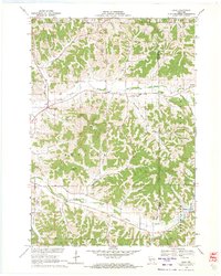 1969 Hegg1971 Print · USGSWestern Wisconsin in the late sixties reveals a landscape of deep coulees and ridge-top farms centered around the community of Hegg. Local historians can trace family-named landmarks like Borreson Coulee or locate regional spiritual centers including North Beaver Creek Ch and the Pioneer Cem.2 unique versions available
 - 1969 Map of Stevenstown, 1971 Print
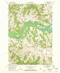 1969 Stevenstown1971 Print · USGSThe Black River valley during the late sixties serves as a crossroads of family history and conservation in rural Wisconsin. Genealogists can trace lineage through Hardies Cemetery or Sacia Cemetery, while outdoorsmen can locate the State Game Refuge and Horseshoe Lake.2 unique versions available
 - 1969 Map of North Bend, 1971 Print
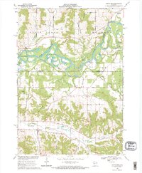 1969 North Bend1971 Print · USGSThe Black River valley and its intricate coulees are documented here during the late sixties, spanning the border of Jackson and La Crosse counties. Genealogists can locate family-named landmarks and rural burial sites like Oxbow Cem, the historic Red School, and the German Settlement.2 unique versions available
 - 1969 Map of North Bend NE, 1972 Print
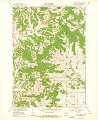 1969 North Bend NE1972 Print · USGSJackson County's coulee country is captured in detail during the late sixties, showing a landscape defined by its ridges and creek valleys. Genealogists and local historians can trace family locations near Franklin, the Upper Beaver Creek Ch, and the Morken Cem.
 - 1985 Map of Winona
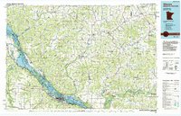 1985 Winona1985 Print · USGSThe Mississippi River valley and the coulees of the Driftless Area are shown here in the mid-1980s as the river's lock-and-dam system was well-established. Researchers can trace the riverfront at Winona, explore the bluffs near Galesville, or locate landmarks like Sugarloaf and Merrick State Park.2 unique versions available
 - 2010 Map of Stevenstown, 2010 Print
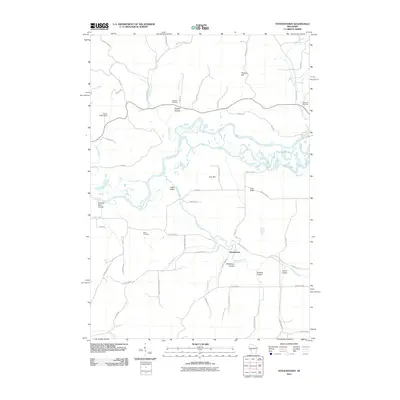 2010 Stevenstown2010 Print · USGSIn the coulee country of western Wisconsin, this early twenty-first-century survey highlights the settlement of Stevenstown and the winding course of the Black River. Local historians can trace family-named landmarks and burial sites like Glasgow Cemetery and Sacia Cemetery.
 - 2010 Map of North Bend, 2010 Print
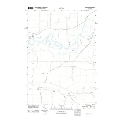 2010 North Bend2010 Print · USGSWisconsin's coulee country is captured here in the early twenty-first century, showing the rural communities of North Bend, Mindoro, and Burr Oak. Genealogists can trace family landmarks and burial sites like Evergreen Cemetery, Severson Coulee, and Black Oak Ridge.
 - 2010 Map of Hegg, 2010 Print
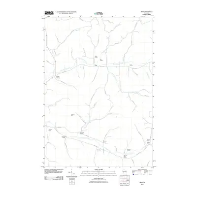 2010 Hegg2010 Print · USGSWisconsin's coulee country is captured here during the early twenty-first century, showing a rural landscape defined by deep valleys and stream forks. Researchers can trace family history through sites like Pioneer Cemetery, Beachs Corners, and the many family-named valleys such as Svenson Coulee and Van Riper Coulee.
 - 2010 Map of North Bend NE, 2010 Print
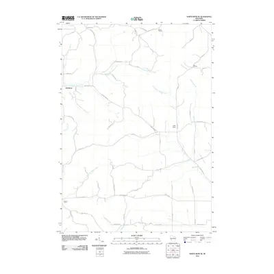 2010 North Bend NE2010 Print · USGSJackson County's rural township landscape is documented here in the early twenty-first century, showing the intricate creek networks and farm roads. Local historians can trace family burial sites at Morken Cemetery and Olson Cemetery, or locate the Buckholz Corners intersection.
 - 2013 Map of Stevenstown, 2013 Print
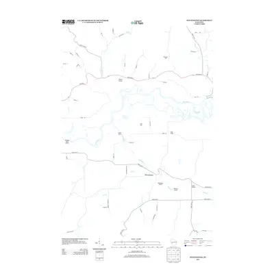 2013 Stevenstown2013 Print · USGSWisconsin's driftless-style terrain comes into sharp focus here during the early twenty-first century, featuring the winding Black River and numerous coulees. Family-named landmarks and rural geography are easy to trace through Stevenstown, Peacock Hill, and Toppen Coulee.
 - 2013 Map of North Bend NE, 2013 Print
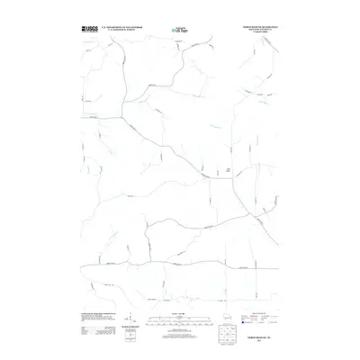 2013 North Bend NE2013 Print · USGSJackson County's network of coulees and ridges is documented in the early twenty-first century as agriculture and topography intersect. Researchers can trace land use patterns near Cuffy Knob or follow the paths of N Fork Beaver Cr and Black Slough.
 - 2013 Map of North Bend, 2013 Print
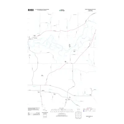 2013 North Bend2013 Print · USGSWisconsin's coulee country is captured in the early twenty-first century, showing the intricate drainages of the Black River. Local historians can trace family-named landforms and settlements like Mindoro, Burr Oak, and the distinctive Maiden Rock.
 - 2013 Map of Hegg, 2013 Print
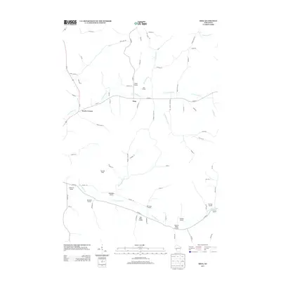 2013 Hegg2013 Print · USGSThe Driftless Area hills come alive in this early twenty-first-century survey of the coulees and creek forks surrounding Hegg. Local historians can trace the geography of old family lands through named features like Thimble Peak, Beachs Corners, and German Coulee.
 - 2015 Map of Hegg, 2015 Print
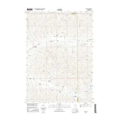 2015 Hegg2015 Print · USGSThe rural coulees of Trempealeau and Jackson counties appear here in the mid-2010s, showing a landscape defined by its deep valleys and upland ridges. Genealogists can trace family locations near Hegg and Beachs Corners or locate the historic Pioneer Cem.
 - 2015 Map of North Bend, 2015 Print
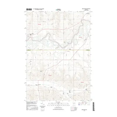 2015 North Bend2015 Print · USGSWisconsin's coulee country in the mid-2010s reveals a landscape defined by deep valleys and high ridges along the Black River. Genealogists and local historians can trace family roots through markers like Oxbow Cem, Black Oak Cem, and the old settlement at North Bend.
 - 2015 Map of North Bend NE, 2015 Print
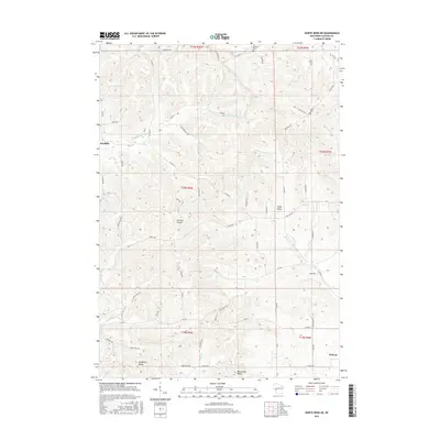 2015 North Bend NE2015 Print · USGSWisconsin’s coulee country is documented in this 2015 survey, showing the rural landscape around Franklin and Melrose. Genealogists and local historians can locate Olson Cem, Morken Cem, and family-named landmarks like German Coulee or Cuffy Knob.
 - 2015 Map of Stevenstown, 2015 Print
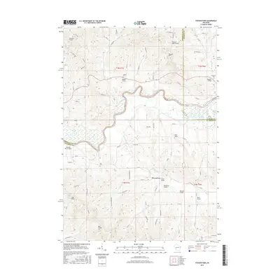 2015 Stevenstown2015 Print · USGSThe Black River valley at the junction of three Wisconsin counties is shown here in the mid-2010s, defined by its complex coulee topography. Local researchers can trace family lands near Stevenstown or locate burial sites at Glasgow Cem and Sacia Cem.
 - 2018 Map of North Bend NE, 2018 Print
 2018 North Bend NE2018 Print · USGSJackson County in the late 2010s reveals a landscape shaped by narrow valleys and prominent ridges near the Black River basin. Researchers can locate family landmarks like the Morken Cem and trace the paths of German Coulee and Trump-Coulee Cr.
 - 2018 Map of North Bend, 2018 Print
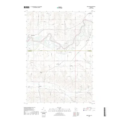 2018 North Bend2018 Print · USGSThe borderlands of Jackson and La Crosse counties come alive in this modern survey of the Black River region. Genealogists and local historians can trace family plots at Burr Oak Methodist Cem or Oxbow Cem and explore the namesake coulees like Severson Coulee.
 - 2018 Map of Hegg, 2018 Print
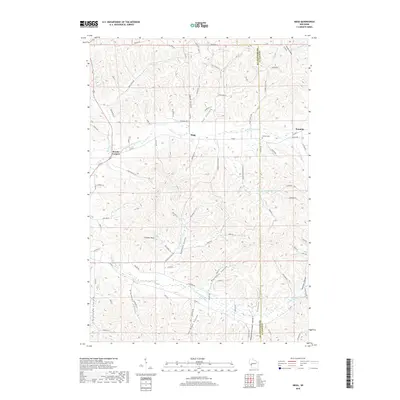 2018 Hegg2018 Print · USGSThe Driftless Area at the Trempealeau and Jackson County line shows a landscape of deep valleys and secluded farmsteads. Genealogists can trace family-named landmarks and historical sites like the Pioneer Cem and the small communities of Hegg and Franklin.
Showing maps 1-25 of 30
Top cities near North Bend
- La Crosse historical maps
- Onalaska historical maps
- Holmen historical maps
- Sparta historical maps
- West Salem historical maps
- Bangor historical maps
See more
Frequently asked questions
- What are the different types of historical maps available for North Bend?
- What is the oldest map of North Bend?
- Where can I purchase historical maps of North Bend for my home or office?
- Where can I download high-res historical maps of North Bend?
- Are there historical topographic maps available for North Bend?
- Is there historical aerial imagery available for North Bend?
- Where are historical maps of North Bend sourced from?