Old Maps of Jackson County, Wisconsin
Explore 57 old maps of Jackson County, spanning from 1924 to today. These high-resolution historic maps reveal how streets, neighborhoods, landmarks, and natural features evolved over time — perfect for genealogy, metal detecting, research, and local history exploration.
What you can do with these maps:
- See how Jackson County changed over time: Compare historical maps to modern-day views to trace roads, homesites, rail lines & more.
- View detailed metadata: Each map includes creators, publishers, year, scale, and archive source.
- Overlay maps with satellite & LiDAR: Visualize the past alongside modern tools to explore terrain & human change.
- Trusted historical sources: Maps sourced from the USGS, Library of Congress, and other archives.
- Access maps your way: View online, download high-res files, or order prints for personal or research use.
Start exploring old maps of Jackson County to uncover forgotten places, hidden landmarks, and the deep history beneath your feet.
Jackson County, WI maps
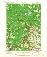
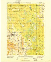
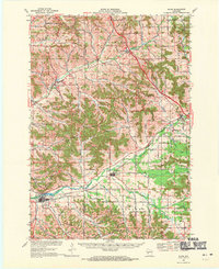
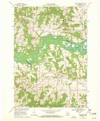
(57)- 1924 Map of Black River Falls, 1963 Print
 1924 Black River Falls1963 Print · USGSCovers Jackson County, including Black River Falls, Brockway, and other nearby areas2 unique versions available
 - 1926 Map of Black River Falls
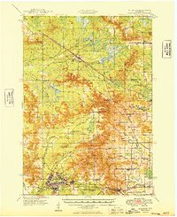
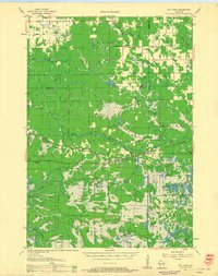
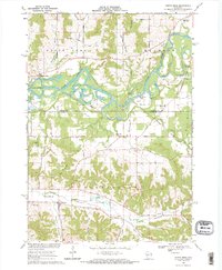
 1926 Black River Falls1926 Print · USGSCovers Jackson County, including Black River Falls, Brockway, and other nearby areas
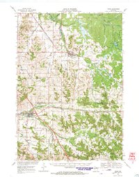
 - 1926 Map of North Bend, 1965 Print
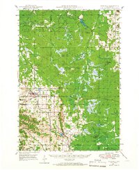
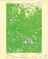
 1926 North Bend1965 Print · USGSCovers Jackson County, including Irving, Melrose, and other nearby areas
 - 1927 Map of Blair
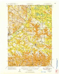
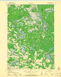
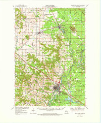
 1927 Blair1927 Print · USGSCovers Jackson County, including Blair, Hale, and other nearby areas2 unique versions available
 - 1928 Map of Melrose
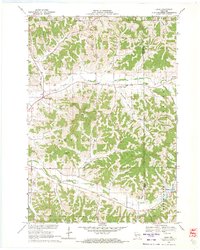
 1928 Melrose1928 Print · USGSCovers Jackson County, including Sparta, Brockway, and other nearby areas
 - 1929 Map of North Bend
 1929 North Bend1929 Print · USGSCovers Jackson County, including Irving, Melrose, and other nearby areas2 unique versions available
 - 1935 Map of Osseo
 1935 Osseo1935 Print · USGSCovers Jackson County, including Osseo, Augusta, and other nearby areas
 - 1940 Map of Osseo
 1940 Osseo1940 Print · USGSCovers Jackson County, including Osseo, Augusta, and other nearby areas
 - 1947 Map of Millston, 1963 Print
 1947 Millston1963 Print · USGSCovers Jackson County, including Tomah, Brockway, and other nearby areas4 unique versions available
 - 1948 Map of Fairchild, 1966 Print
 1948 Fairchild1966 Print · USGSCovers Jackson County, including Fairchild, Hewett, and other nearby areas2 unique versions available
 - 1949 Map of Millston
 1949 Millston1949 Print · USGSCovers Jackson County, including Tomah, Brockway, and other nearby areas
 - 1949 Map of Melrose
 1949 Melrose1949 Print · USGSCovers Jackson County, including Sparta, Brockway, and other nearby areas
 - 1949 Map of Fairchild
 1949 Fairchild1949 Print · USGSCovers Jackson County, including Fairchild, Hewett, and other nearby areas
 - 1953 Map of Eau Claire, 1965 Print
 1953 Eau Claire1965 Print · USGSCovers Jackson County, including Eau Claire, Winona, and other nearby areas4 unique versions available
 - 1957 Map of City Point, 1960 Print
 1957 City Point1960 Print · USGSCovers Jackson County, including Sherwood, City Point, and other nearby areas2 unique versions available
 - 1958 Map of Eau Claire
 1958 Eau Claire1958 Print · USGSCovers Jackson County, including Eau Claire, Winona, and other nearby areas
 - 1958 Map of Hatfield, 1960 Print
 1958 Hatfield1960 Print · USGSCovers Jackson County, including Brockway, City Point, and other nearby areas
 - 1958 Map of Wyeville, 1960 Print
 1958 Wyeville1960 Print · USGSCovers Jackson County, including Tomah, Cutler, and other nearby areas
 - 1964 Map of Eau Claire
 1964 Eau Claire1964 Print · USGSCovers Jackson County, including Eau Claire, Winona, and other nearby areas
 - 1968 Map of Blair, 1971 Print
 1968 Blair1971 Print · USGSCovers Jackson County, including Blair, Hale, and other nearby areas2 unique versions available
 - 1968 Map of Osseo, 1971 Print
 1968 Osseo1971 Print · USGSCovers Jackson County, including Osseo, Augusta, and other nearby areas
 - 1968 Map of Black River Falls, 1971 Print
 1968 Black River Falls1971 Print · USGSCovers Jackson County, including Black River Falls, Brockway, and other nearby areas
 - 1969 Map of Hegg, 1971 Print
 1969 Hegg1971 Print · USGSCovers Jackson County, including North Bend, Gale, and other nearby areas2 unique versions available
 - 1969 Map of Stevenstown, 1971 Print
 1969 Stevenstown1971 Print · USGSCovers Jackson County, including North Bend, Holland, and other nearby areas2 unique versions available
 - 1969 Map of North Bend, 1971 Print
 1969 North Bend1971 Print · USGSCovers Jackson County, including Melrose, North Bend, and other nearby areas2 unique versions available
Showing maps 1-25 of 57
Top cities of Jackson County
- Black River Falls historical maps
- Brockway historical maps
- Irving historical maps
- Northfield historical maps
- Merrillan historical maps
- Melrose historical maps
See more
Frequently asked questions
- What are the different types of historical maps available for Jackson County?
- What is the oldest map of Jackson County?
- Where can I purchase historical maps of Jackson County for my home or office?
- Where can I download high-res historical maps of Jackson County?
- Are there historical topographic maps available for Jackson County?
- Is there historical aerial imagery available for Jackson County?
- Where are historical maps of Jackson County sourced from?