
Historical Maps of 10th & Cass Historic District, La Crosse, La Crosse County, Wisconsin
What stories do these 18 old maps tell about 10th & Cass Historic District's past? From 1927 to present day, these maps reveal the evolution of streets, neighborhoods, iconic landmarks, and natural features in stunning high-res detail. Whether you're a history enthusiast, genealogist, or professional in education, environmental work, or architecture, these maps are perfect for exploration, research, and discovery.
Discover 10th & Cass Historic District's history through maps:
- Trace 10th & Cass Historic District's growth: Explore earlier and latest maps and editions to uncover how the region changed over time.
- Examine technical details: Each map includes its creators, publishers, scale, dimensions, and full source information.
- Layer maps with modern tools & imagery: Compare historical maps to modern-day with high-resolution satellite imagery and detailed LiDAR layers.
- Sourced from trusted archives: Carefully preserved and digitized by institutions like the United Stated Geological Survey and the US Library of Congress.
- Access in any format: View and explore in high resolution, download for offline use, or order a museum-quality print for yourself or a loved one.
Begin your journey into 10th & Cass Historic District's history with these remarkable must-see maps.
10th & Cass Historic District, La Crosse, La Crosse County, WI maps
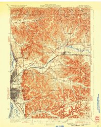
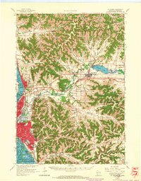
(18)- 1927 Map of La Crosse, 1960 Print
 1927 La Crosse1960 Print · USGSCovers 10th & Cass Historic District, including La Crosse, Onalaska, and other nearby areas
 - 1930 Map of La Crosse
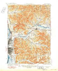
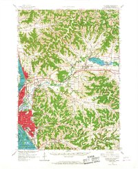
 1930 La Crosse1930 Print · USGSCovers 10th & Cass Historic District, including La Crosse, Onalaska, and other nearby areas
 - 1930 Map of La Crosse
 1930 La Crosse1930 Print · USGSCovers 10th & Cass Historic District, including La Crosse, Onalaska, and other nearby areas
 - 1930 Map of La Crosse, 1950 Print
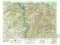
 1930 La Crosse1950 Print · USGSCovers 10th & Cass Historic District, including La Crosse, Onalaska, and other nearby areas
 - 1958 Map of La Crosse, 1979 Print
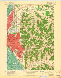
 1958 La Crosse1979 Print · USGSCovers 10th & Cass Historic District, including La Crosse, Winona, and other nearby areas
 - 1958 Map of La Crosse, 1986 Print
 1958 La Crosse1986 Print · USGSCovers 10th & Cass Historic District, including La Crosse, Winona, and other nearby areas
 - 1961 Map of La Crosse
 1961 La Crosse1961 Print · USGSCovers 10th & Cass Historic District, including La Crosse, Winona, and other nearby areas
 - 1963 Map of La Crosse, 1964 Print
 1963 La Crosse1964 Print · USGSCovers 10th & Cass Historic District, including La Crosse, Onalaska, and other nearby areas
 - 1963 Map of La Crosse, 1965 Print
 1963 La Crosse1965 Print · USGSCovers 10th & Cass Historic District, including La Crosse, Onalaska, and other nearby areas
 - 1963 Map of La Crosse, 1967 Print
 1963 La Crosse1967 Print · USGSCovers 10th & Cass Historic District, including La Crosse, Onalaska, and other nearby areas
Showing maps 1-10 of 18
Frequently asked questions
- What are the different types of historical maps available for 10th & Cass Historic District?
- What is the oldest map of 10th & Cass Historic District?
- Where can I purchase historical maps of 10th & Cass Historic District for my home or office?
- Where can I download high-res historical maps of 10th & Cass Historic District?
- Are there historical topographic maps available for 10th & Cass Historic District?
- Is there historical aerial imagery available for 10th & Cass Historic District?
- Where are historical maps of 10th & Cass Historic District sourced from?