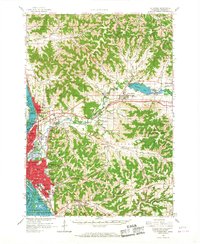
1963 Map of La Crosse
USGS Topo · Published 1967About this map
The confluence of the Black River and the La Crosse River marks a landscape of dramatic coulees and ridges in the early 1960s. This survey illustrates the urban expansion of La Crosse and Onalaska as they climb the surrounding bluffs, including Granddad Bluff and Cliffwood Bluff. The regional educational and religious landscape is well-defined by the presence of Wisconsin State College and Holy Cross Seminary, alongside numerous rural schoolhouses like Sunny Mede Sch and Sand Lake Coulee Sch.
Find a feature on this map
98 named features on this map. Tap any name to fly to it.
Don’t see what you’re looking for? This feature index may not catch every label — zoom into the map to look around manually.
Map Details
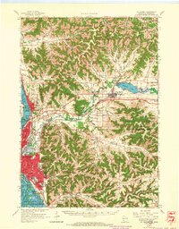
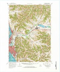
Editions of this 1963 La Crosse Map
3 editions found
Other maps of this area

1909 · Sparta
USGS Topo · 1:62,500

1923 · Viroqua
USGS Topo · 1:62,500

1926 · Stoddard
USGS Topo · 1:62,500

1926 · Viroqua
USGS Topo · 1:62,500

1926 · North Bend
USGS Topo · 1:62,500

1927 · La Crosse
USGS Topo · 1:62,500

1928 · Melrose
USGS Topo · 1:48,000

1929 · Galesville
USGS Topo · 1:62,500

1929 · North Bend
USGS Topo · 1:62,500

1930 · La Crescent
USGS Topo · 1:62,500