Old Maps of Lac La Belle, Wisconsin for Hiking & Exploration
Hike through history with 13 historic maps of Lac La Belle. Explore old trails, ghost towns, and forgotten backroads — perfect for outdoor adventurers and local explorers.
- Rediscover forgotten places: Map out old mining camps, roads, and footpaths that no longer exist on modern maps.
- Layer with modern tools: Combine with LiDAR or satellite views to plan hikes through historical terrain.
- Made for exploration: Popular among hikers, overlanders, and local history lovers.
Use these maps to find adventure and explore the hidden past of Lac La Belle.
Lac La Belle, WI maps
(13)- 1892 Map of Watertown
 1892 Watertown1892 Print · USGSJefferson and Dodge counties at the close of the nineteenth century are defined by their winding river valleys and newly established rail corridors. Genealogists can trace family roots in early settlements like Watertown, Ixonia, and Sullivan, or follow the Rock River to its junction with the Oconomowoc River.
 - 1894 Map of Watertown
 1894 Watertown1894 Print · USGSSouthern Wisconsin at the close of the nineteenth century reveals a landscape shaped by glacial ridges and the iron horse. Genealogists can trace family footprints in settlements like Watertown, Ixonia, and Sullivan, or follow the rail lines that connected Lac La Belle to the wider region.5 unique versions available
 - 1957 Map of Madison, 1967 Print
 1957 Madison1967 Print · USGSSouth-central Wisconsin in the mid-fifties reveals a landscape of industrial hubs and glacial lakes linked by a dense rail and highway network. Genealogists and historians can trace the development of lakeside communities and find notable sites like Badger Ordnance Works and the Horicon National Wildlife Refuge.3 unique versions available
 - 1959 Map of Ixonia, 1961 Print
 1959 Ixonia1961 Print · USGSIxonia and the surrounding dairy country are captured in the late fifties as the local economy balanced rail transport with emerging mid-century developments. Genealogists can trace family roots through sites like New Ashippun, the Monastery on Lac La Belle, and several rural schoolhouses.2 unique versions available
 - 1959 Map of Watertown, 1961 Print
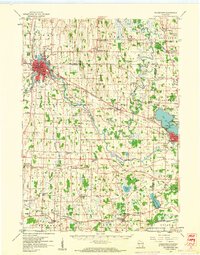 1959 Watertown1961 Print · USGSJefferson and Dodge Counties are captured in the late fifties as a thriving agricultural and rail corridor. Genealogists can trace family roots through numerous sites like Old Lebanon, St Bernard Cem, and rural schoolhouses including High Lawn Sch.3 unique versions available
 - 1960 Map of Madison
 1960 Madison1960 Print · USGSCentral and Southern Wisconsin are captured in the late fifties, showing the region as its rail-and-river network matured. Trace the paths of the Soo Line RR or locate family roots near Lake Mendota and Horicon National Wildlife Refuge.2 unique versions available
 - 1984 Map of Oconomowoc, 1985 Print
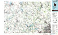 1984 Oconomowoc1985 Print · USGSSoutheast Wisconsin in the mid-eighties shows a landscape defined by its glacial heritage and expanding metropolitan corridors. Genealogists and historians can trace the development of lakeside communities like Oconomowoc and Pewaukee, or find established settlements such as Watertown and Beaver Dam.
 - 1991 Map of Oconomowoc
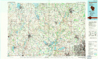 1991 Oconomowoc1991 Print · USGSSoutheastern Wisconsin in the early nineties shows a landscape of glacial lakes and growing suburbs. Trace local history through Aztalan State Park, Carroll College, and the sprawling Horicon Marsh State Wildlife Area.
 - 2010 Map of Ixonia, 2010 Print
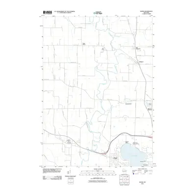 2010 Ixonia2010 Print · USGSThe Rock River valley in the early 2000s reveals a patchwork of established dairy-country settlements and historic burial grounds. Researchers can trace family sites at Old Ashippun, Monterey, and the Monterey Methodist Episcopal Cemetery.
 - 2013 Map of Ixonia, 2013 Print
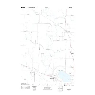 2013 Ixonia2013 Print · USGSIxonia and the surrounding dairy lands of Jefferson County are captured here in the early 2010s. Genealogists and local historians can trace family-named operations like Bara Farms and Crescentmead Farm alongside the waters of the Rock River and Ashippun River.
 - 2015 Map of Ixonia, 2015 Print
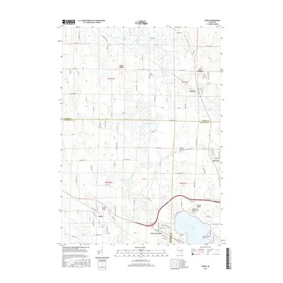 2015 Ixonia2015 Print · USGSSouthern Wisconsin's river valleys and county borders are captured here in the mid-2010s as traditional farming towns meet growing lakeside communities. Genealogists can locate family names at Glenview Memorial Gardens or trace the older roots of Old Ashippun and Monterey.
 - 2018 Map of Ixonia, 2018 Print
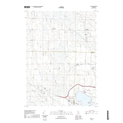 2018 Ixonia2018 Print · USGSSoutheast Wisconsin's wetland-laced interior is captured here in the late 2010s, showing the rural character between the Rock River and Lac La Belle. Researchers can locate several historic burial sites like Cross Lutheran Cem and trace the original footprints of Old Ashippun and Monterey.
 - 2022 Map of Ixonia, 2022 Print
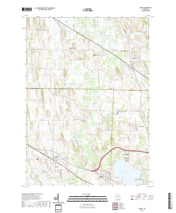 2022 Ixonia2022 Print · USGSSoutheastern Wisconsin at the confluence of the Rock River and Ashippun River reveals a landscape defined by water and early settlement. Researchers can trace family history through sites like Old Ashippun, Monterey, and the Bethel Cem.
End of results
Showing maps 1-13 of 13
Top cities near Lac La Belle
- Waukesha historical maps
- Watertown historical maps
- Hartford historical maps
- Oconomowoc historical maps
- City of Pewaukee historical maps
- Lisbon historical maps
See more
Frequently asked questions
- What are the different types of historical maps available for Lac La Belle?
- What is the oldest map of Lac La Belle?
- Where can I purchase historical maps of Lac La Belle for my home or office?
- Where can I download high-res historical maps of Lac La Belle?
- Are there historical topographic maps available for Lac La Belle?
- Is there historical aerial imagery available for Lac La Belle?
- Where are historical maps of Lac La Belle sourced from?