Old Maps of Darlington, Wisconsin for Hiking & Exploration
Hike through history with 18 historic maps of Darlington. Explore old trails, ghost towns, and forgotten backroads — perfect for outdoor adventurers and local explorers.
- Rediscover forgotten places: Map out old mining camps, roads, and footpaths that no longer exist on modern maps.
- Layer with modern tools: Combine with LiDAR or satellite views to plan hikes through historical terrain.
- Made for exploration: Popular among hikers, overlanders, and local history lovers.
Use these maps to find adventure and explore the hidden past of Darlington.
Darlington, WI maps
(18)- 1902 Map of Mineral Point
 1902 Mineral Point1902 Print · USGSSouthwest Wisconsin and Northern Illinois are mapped here at the height of the regional mining era. Genealogists and historians can trace the rail lines of the Illinois Central to vanished junctions and local landmarks like Meekers Grove, Calamine, and Elk Grove.4 unique versions available
 - 1952 Map of Calamine, 1954 Print
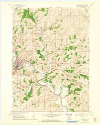
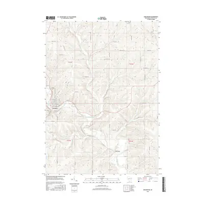
 1952 Calamine1954 Print · USGSLafayette County in the early fifties shows a rural landscape defined by the winding Pecatonica River and the local rail line. Genealogists can locate numerous country schools and cemeteries like Hamestreet Sch, Truman, and Union Grove Cemetery.
 - 1959 Map of Dubuque, 1982 Print
 1959 Dubuque1982 Print · USGSThe Tri-State region comes alive in the mid-twentieth century as a hub of river commerce and rail transit. Genealogists and historians can trace the paths of the Illinois Central Gulf through Dubuque or locate the Savanna Ordnance Depot and Lock and Dam No 11.
 - 1961 Map of Dubuque
 1961 Dubuque1961 Print · USGSThe Tri-State region's river-and-rail landscape is captured here during the early sixties, showing the convergence of Iowa, Illinois, and Wisconsin. Trace mid-century rail lines like the Chicago Great Western Ry and explore sites like the Savanna Ordnance Depot and Backbone State Park.
 - 1962 Map of Dubuque
 1962 Dubuque1962 Print · USGSThe Tri-State region's river-and-rail economy is captured here in the early sixties, centered on the Mississippi River bluffs. Genealogists and historians can locate Numerous lead and zinc mines, the New Melleray Abbey Monastery, and rural hubs like Saint Olaf.2 unique versions available
 - 1962 Map of Darlington, 1964 Print
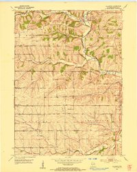
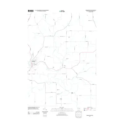
 1962 Darlington1964 Print · USGSLafayette County was a hub of river commerce and rural education in the early sixties. Genealogists can locate family sites near Holy Rosary Cem or trace the old rail lines of the Chicago Milwaukee St Paul and Pacific through Darlington.
 - 1976 Map of Dubuque
 1976 Dubuque1976 Print · USGSThe tri-state borderlands of Iowa, Wisconsin, and Illinois come alive during the mid-seventies, showing a region built on river commerce and mining. Genealogists and historians can trace the paths of the Illinois Central railroad or locate heritage sites like the New Melleray Abbey Monastery and Backbone State Park.
 - 1984 Map of Dubuque North, 1985 Print
 1984 Dubuque North1985 Print · USGSThis Tri-State region was a hub of Midwestern mining and river commerce in the mid-eighties. Researchers can trace the legacy of the Lead District through specific sites like Annie Mine or locate early civic centers such as First Capitol State Park.2 unique versions available
 - 2010 Map of Darlington, 2010 Print
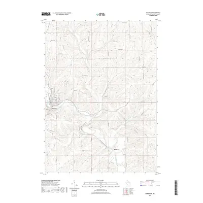
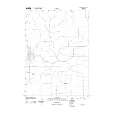 2010 Darlington2010 Print · USGSCovers Darlington, including Wiota, Fayette, and other nearby areas
 - 2010 Map of Calamine, 2010 Print
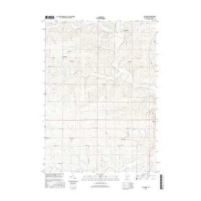
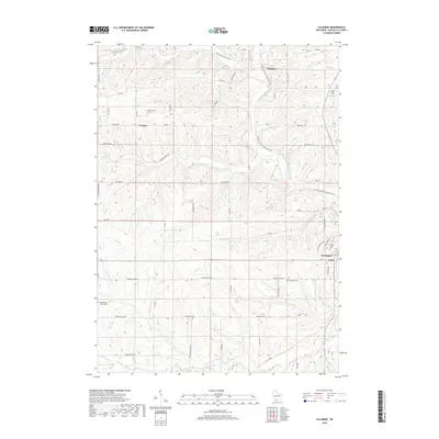
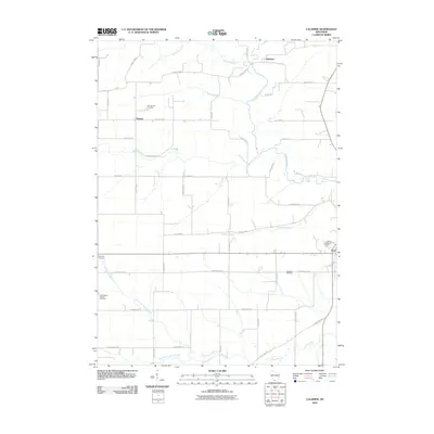 2010 Calamine2010 Print · USGSCovers Darlington, including Kendall, Calamine, and other nearby areas
 - 2013 Map of Darlington, 2013 Print
 2013 Darlington2013 Print · USGSCovers Darlington, including Wiota, Fayette, and other nearby areas
 - 2013 Map of Calamine, 2013 Print
 2013 Calamine2013 Print · USGSCovers Darlington, including Kendall, Calamine, and other nearby areas
 - 2016 Map of Calamine, 2016 Print
 2016 Calamine2016 Print · USGSCovers Darlington, including Kendall, Calamine, and other nearby areas
 - 2016 Map of Darlington, 2016 Print
 2016 Darlington2016 Print · USGSCovers Darlington, including Wiota, Fayette, and other nearby areas
 - 2018 Map of Darlington, 2018 Print
 2018 Darlington2018 Print · USGSCovers Darlington, including Wiota, Fayette, and other nearby areas
 - 2018 Map of Calamine, 2018 Print
 2018 Calamine2018 Print · USGSCovers Darlington, including Kendall, Calamine, and other nearby areas
 - 2022 Map of Calamine, 2022 Print
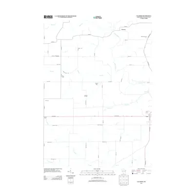
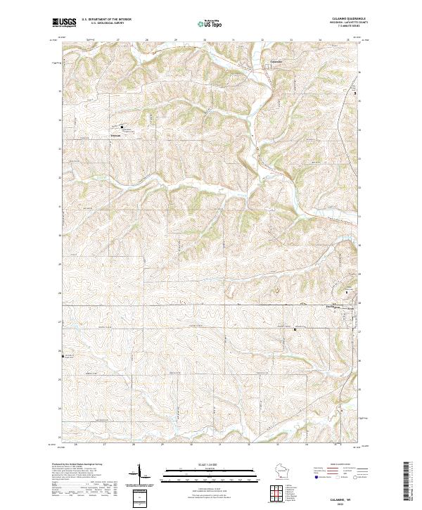 2022 Calamine2022 Print · USGSLafayette County's rural heartland is documented here in the early twenty-first century as the Pecatonica River winds past small settlements. Genealogists and historians can locate family landmarks like Ray Pilling Cem, Schwartz Cem, and the community at Truman.
 - 2022 Map of Darlington, 2022 Print
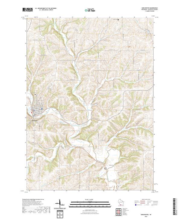 2022 Darlington2022 Print · USGSLafayette County in the early twenty-first century maintains its deep-rooted agricultural character around the river-valley seat of Darlington. Researchers can trace land tracts near Red Rock or locate ancestral sites at Holy Rosary Cem and Fayette Cem.
End of results
Showing maps 1-18 of 18
Top cities near Darlington
- Mineral Point historical maps
- Warren historical maps
- Shullsburg historical maps
- Belmont historical maps
- Wiota historical maps
- Mifflin historical maps
See more
Frequently asked questions
- What are the different types of historical maps available for Darlington?
- What is the oldest map of Darlington?
- Where can I purchase historical maps of Darlington for my home or office?
- Where can I download high-res historical maps of Darlington?
- Are there historical topographic maps available for Darlington?
- Is there historical aerial imagery available for Darlington?
- Where are historical maps of Darlington sourced from?