Old Maps of Wayne, Wisconsin for Genealogy
Trace your family roots with 19 historic maps of Wayne. These high-res maps reveal old neighborhoods, homesites, landmarks, and streets — helping you uncover where your ancestors lived and how the area evolved over time.
- Explore historic neighborhoods: Identify where your relatives may have lived in the 1800s or 1900s.
- Compare maps over time: Trace the changes in streets, buildings, and landmarks for multi-generational research.
- Perfect for genealogy & ancestry research: Used by family historians and researchers to map out lineage and migration.
These maps are an incredible resource for exploring your personal connection to Wayne's past.
Wayne, WI maps
(19)- 1923 Map of South Wayne
 1923 South Wayne1923 Print · USGSSouthern Wisconsin and northern Illinois are shown in the early twenties as a landscape of interconnected river valleys and rail lines. Genealogists can trace dozens of country schoolhouses and churches, including Apple Grove Church, Reed School, and the community at South Wayne.3 unique versions available
 - 1954 Map of Rockford
 1954 Rockford1954 Print · USGSThe Rock River valley and the Illinois-Wisconsin borderlands are captured here in the mid-1950s during a period of robust industrial and agricultural activity. Genealogists and historians can trace rail-era corridors like the Illinois Central RR and locate landmarks from Big Foot Prairie to Lake Geneva.
 - 1955 Map of Rockford
 1955 Rockford1955 Print · USGSThe Rock River valley and southern Wisconsin dairy country are shown here in the mid-fifties as the region's manufacturing centers grew. Genealogists and historians can trace the paths of the Chicago and North Western RR and Illinois Central RR through hubs like Rockford and Beloit.
 - 1958 Map of Rockford, 1974 Print
 1958 Rockford1974 Print · USGSNorthern Illinois and southern Wisconsin are shown here in the mid-twentieth century as rail-dependent industrial towns began to interface with growing lakefront communities. Genealogists can trace family roots through settlements like Saylesville and Tess Corners or locate historical landmarks like the Rockford Ordnance Depot.4 unique versions available
 - 1962 Map of Browntown, 1964 Print
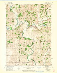 1962 Browntown1964 Print · USGSThe Pecatonica River valley at the Wisconsin-Illinois border is shown here in the early sixties, defined by its riverside rail towns. Researchers can trace local heritage through sites like Martintown, La Due Cem, and the Lattice Bridge.2 unique versions available
 - 1962 Map of South Wayne, 1964 Print
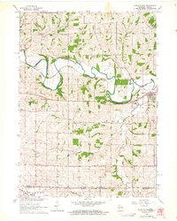 1962 South Wayne1964 Print · USGSLafayette County dairy and river country is captured here in the early sixties, centered on the junction of the Pecatonica River and the railroad. Genealogists and local historians can trace rural schoolhouse locations like Mud Hollow Sch and family burial sites such as Hoffman Cem.
 - 1962 Map of South Wayne, 1964 Print
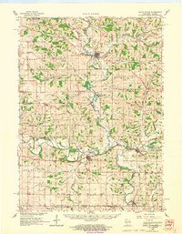 1962 South Wayne1964 Print · USGSCrossing the Illinois border in the 1960s, this area of Lafayette and Green Counties features a landscape shaped by the Pecatonica River and its many tributaries. Researchers can locate numerous rural schoolhouses and family cemeteries like Porter Sch and the Sauterman Cem.
 - 1963 Map of Rockford
 1963 Rockford1963 Print · USGSThe mid-century industrial corridor along the Rock River is shown here during a period of rapid post-war growth. Researchers can trace the extensive rail lines of the Chicago and North Western or locate local landmarks like the Rockford Ordnance Depot and Holy Hill.
 - 1981 Map of Monroe
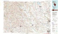 1981 Monroe1981 Print · USGSSouthern Wisconsin and the Illinois borderlands come into focus in the early 1980s, showcasing a landscape defined by dairy farming and river valleys. Genealogists can trace family roots through historic hubs like Monroe, Stoughton, and Brodhead, or locate regional landmarks such as Yellowstone Lake and the Sugar River.
 - 2010 Map of South Wayne, 2010 Print
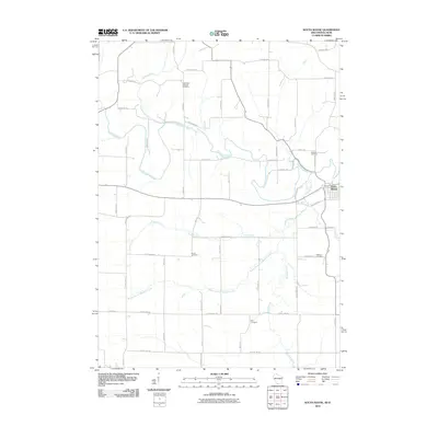 2010 South Wayne2010 Print · USGSThe Illinois-Wisconsin border country comes into focus in the early 2000s, centered on the Pecatonica River valley. Researchers can trace family legacies through numerous burial sites like West Wiota Lutheran Cemetery, Brown Cemetery, and Zion Cemetery.
 - 2010 Map of Browntown, 2010 Print
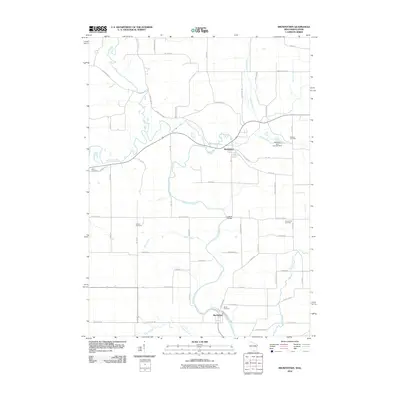 2010 Browntown2010 Print · USGSThe Pecatonica River valley near the Wisconsin-Illinois border reveals a landscape of enduring rural settlements and family-named landmarks. Genealogists can trace local heritage through several burial sites like Saucerman Cemetery and the riverfront Martin Cemetery.
 - 2013 Map of Browntown, 2013 Print
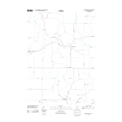 2013 Browntown2013 Print · USGSThe Wisconsin and Illinois borderlands come into focus in the early 2010s as the Pecatonica River meanders past quiet farmsteads. Genealogists and local historians can trace family-named routes and landmarks like Lattice Bridge, Thorson Farm, and Martintown.
 - 2013 Map of South Wayne, 2013 Print
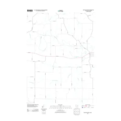 2013 South Wayne2013 Print · USGSThe rural borderlands of Illinois and Wisconsin are shown here in the early twenty-first century, centered on the winding Pecatonica River. Local historians can trace agricultural land patterns along Turtle Cr and Spafford Creek or locate family-named routes like Larse Rd and Sargent Rd.
 - 2016 Map of South Wayne, 2016 Print
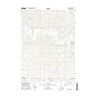 2016 South Wayne2016 Print · USGSSouth Wayne and the Illinois-Wisconsin borderlands are captured here in the mid-2010s, showing a landscape defined by the Pecatonica River. Researchers can trace family sites at the West Wiota Lutheran Cemetery or Hoffman Cemetery.
 - 2016 Map of Browntown, 2016 Print
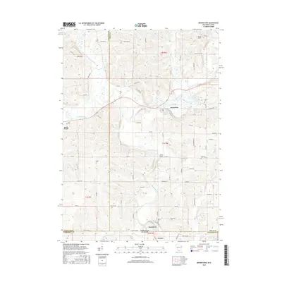 2016 Browntown2016 Print · USGSThe Wisconsin-Illinois borderlands come into focus in this mid-2010s survey, showing the agricultural river valleys of Lafayette and Green counties. Genealogists and local historians can trace family locations near Martintown and South Wayne, or locate rural landmarks like Lattice Bridge and Union Cem.
 - 2018 Map of South Wayne, 2018 Print
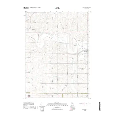 2018 South Wayne2018 Print · USGSThe Illinois-Wisconsin state line cuts across this 2010s landscape near the river town of South Wayne. Genealogists and local historians can trace legacy sites like West Wiota Lutheran Cem and Zion Cem along the winding Pecatonica River.
 - 2018 Map of Browntown, 2018 Print
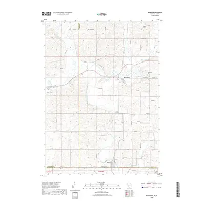 2018 Browntown2018 Print · USGSWisconsin’s southern borderlands come into focus in this recent survey of Lafayette and Green Counties. Researchers can trace family roots through several rural burial grounds like Union Cem and Martin Cem or follow the path of the Pecatonica River.
 - 2022 Map of South Wayne, 2022 Print
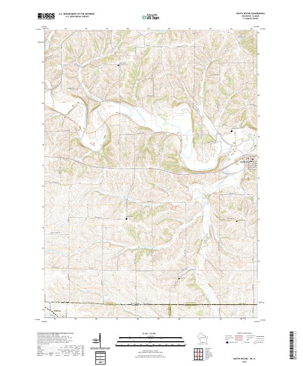 2022 South Wayne2022 Print · USGSThe Wisconsin and Illinois borderlands appear here as a patchwork of river valleys and rural homesteads. Trace family history at the West Wiota Lutheran Cem or follow the Cheese Country Recreation Trl through South Wayne.
 - 2022 Map of Browntown, 2022 Print
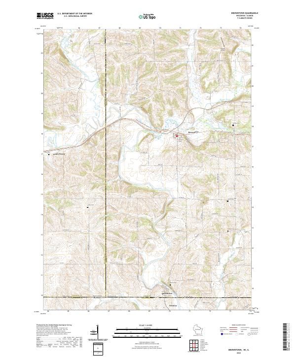 2022 Browntown2022 Print · USGSThe Illinois-Wisconsin border country comes into focus in this recent survey of the Pecatonica River valley. Genealogists and local historians can locate numerous rural burial sites like Union Cem and Martin Cem alongside the historic river crossing at Martintown.
End of results
Showing maps 1-19 of 19
Top cities near Wayne
- Lena historical maps
- Darlington historical maps
- Stockton historical maps
- Warren historical maps
- Clarno historical maps
- Wiota historical maps
See more
Frequently asked questions
- What are the different types of historical maps available for Wayne?
- What is the oldest map of Wayne?
- Where can I purchase historical maps of Wayne for my home or office?
- Where can I download high-res historical maps of Wayne?
- Are there historical topographic maps available for Wayne?
- Is there historical aerial imagery available for Wayne?
- Where are historical maps of Wayne sourced from?