2000s (21st Century) Maps of Parrish, Wisconsin
Explore 10 historic maps of Parrish from the 2000s (21st Century). These maps offer a rare glimpse into what life looked like during the 2000s — showing old roads, neighborhoods, homes, and landmarks that have changed or disappeared over time.
Whether you're researching your family's past, planning a metal detecting trip, or studying how Parrish's landscape evolved across the 2000s, these high-resolution maps are a powerful tool for exploring the history of this region.
- Focus on a specific era: All maps on this page are from the 2000s, giving you a focused view of this time period.
- See what’s changed: Compare century-old streets, trails, and buildings to today's modern landscape using overlays and satellite layers.
- Research with precision: Use these maps for genealogy, historical research, land use analysis, or educational projects.
- View, download, or print: Maps are fully viewable online in high resolution, and can be downloaded or printed for your own records.
Start exploring Parrish's history through authentic maps from the 2000s. This is your window into the past.
Parrish, WI maps
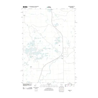
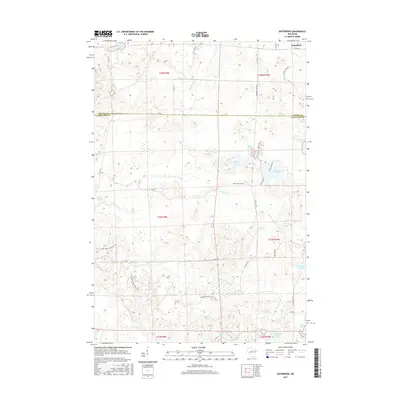
(10)- 2010 Map of Enterprise, 2010 Print
 2010 Enterprise2010 Print · USGSCovers Parrish, including Elcho, Enterprise, and other nearby areas
 - 2010 Map of Parrish, 2010 Print
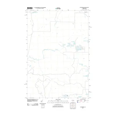
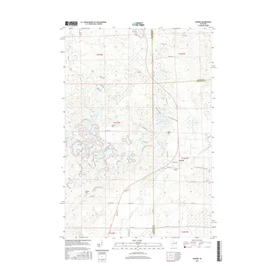
 2010 Parrish2010 Print · USGSCovers Parrish, including Harrison, Enterprise, and other nearby areas
 - 2013 Map of Parrish, 2013 Print
 2013 Parrish2013 Print · USGSCovers Parrish, including Harrison, Enterprise, and other nearby areas
 - 2013 Map of Enterprise, 2013 Print
 2013 Enterprise2013 Print · USGSCovers Parrish, including Elcho, Enterprise, and other nearby areas
 - 2015 Map of Enterprise, 2015 Print
 2015 Enterprise2015 Print · USGSCovers Parrish, including Elcho, Enterprise, and other nearby areas
 - 2015 Map of Parrish, 2015 Print
 2015 Parrish2015 Print · USGSCovers Parrish, including Harrison, Enterprise, and other nearby areas
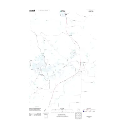
 - 2018 Map of Enterprise, 2018 Print
 2018 Enterprise2018 Print · USGSCovers Parrish, including Elcho, Enterprise, and other nearby areas
 - 2018 Map of Parrish, 2018 Print
 2018 Parrish2018 Print · USGSCovers Parrish, including Harrison, Enterprise, and other nearby areas
 - 2022 Map of Parrish, 2022 Print
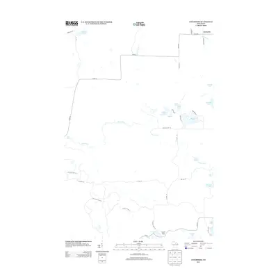
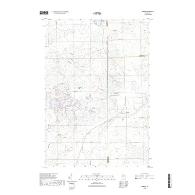
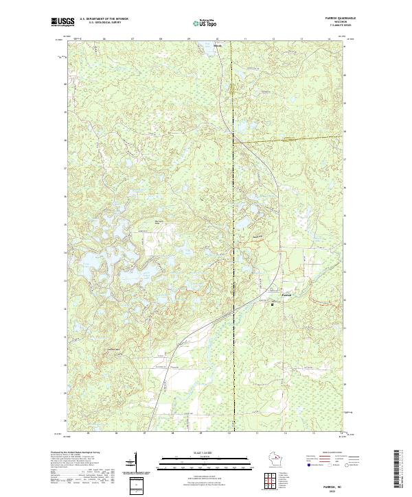 2022 Parrish2022 Print · USGSLincoln County’s lake country is captured in this modern survey, showing the deep glacial legacy of the Harrison Hills. Researchers can locate the Parrish Cemetery and trace old routes through the woods between Parrish and Bundy near Seven Island Lake.
 - 2022 Map of Enterprise, 2022 Print
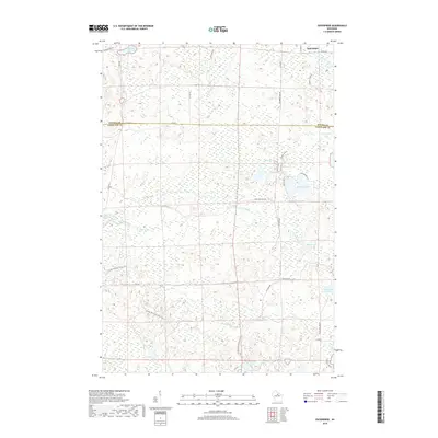
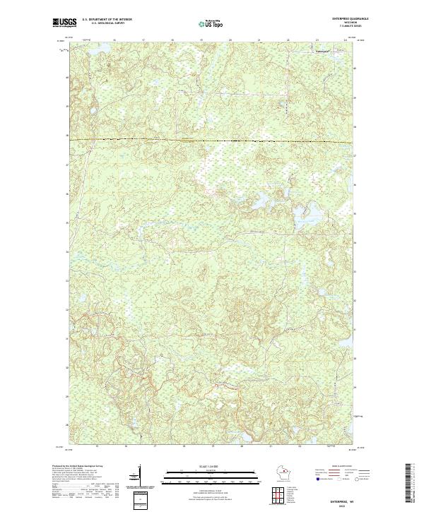 2022 Enterprise2022 Print · USGSWisconsin's northwoods are captured in the early 21st century at the border of Oneida and Langlade counties. Trace the winding Ice Age National Scenic Trl or explore the many shorelines of Moccasin Lake, Enterprise Cr, and Bog Lake.
End of results
Showing maps 1-10 of 10
Top cities near Parrish
- Rhinelander historical maps
- Newbold historical maps
- Pine River historical maps
- Elcho historical maps
- Neva historical maps
- Harrison historical maps
See more
Frequently asked questions
- What are the different types of historical maps available for Parrish?
- What is the oldest map of Parrish?
- Where can I purchase historical maps of Parrish for my home or office?
- Where can I download high-res historical maps of Parrish?
- Are there historical topographic maps available for Parrish?
- Is there historical aerial imagery available for Parrish?
- Where are historical maps of Parrish sourced from?