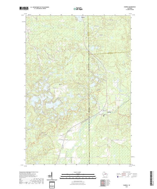
2022 Map of Parrish
USGS Topo · Published 2022About this map
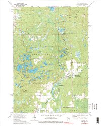
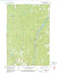
Parrish and Bundy anchor this portion of the Wisconsin northwoods, a landscape defined by an intricate network of glacial kettle lakes and moraines. The topography is dominated by the Harrison Hills, where elevations rise to prominent points such as Lookout Mtn and Baldy Hill. Water is the primary feature of the terrain, ranging from the large, irregular Seven Island Lake to the smaller Chain Lake and Bennett Lake. The Prairie River winds through the southern portion of the quadrangle, serving as a primary drainage for the surrounding wetlands and marshes. Historical and genealogical interest is centered around the Parrish Cemetery, located near the intersection of County Road H and Parrish Road. This modern survey documents the complex interface between Lincoln Co and its neighbors, Oneida Co and Langlade Co, illustrating how contemporary road systems like County Road B and Wright Avenue navigate the dense cluster of lakes and ridges.
Find a feature on this map
92 named features on this map. Tap any name to fly to it.
Don’t see what you’re looking for? This feature index may not catch every label — zoom into the map to look around manually.
Map Details
Editions of this 2022 Parrish Map
This is the sole edition of this map. No revisions or reprints were ever made.
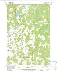
Historical Maps of Parrish Through Time
29 maps found
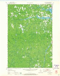
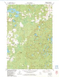
1950 Spirit Falls
Lincoln County, WI

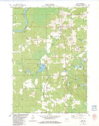
1951 Hamburg
Lincoln County, WI

1952 Spirit Falls
Lincoln County, WI
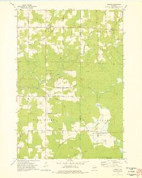
1973 Doering
Lincoln County, WI
1973 Gleason
Lincoln County, WI
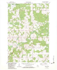
1973 Parrish
Lincoln County, WI
1978 Alexander Lake
Lincoln County, WI
1978 Coffee Creek
Lincoln County, WI
1978 Fromm Lookout Tower
Lincoln County, WI
1978 Grandfather Falls
Lincoln County, WI
1978 Natzke Camp
Lincoln County, WI
1978 Spirit Falls
Lincoln County, WI
1982 Bloomville
Lincoln County, WI
1982 Harrison
Lincoln County, WI
1982 Irma
Lincoln County, WI
1982 Pine Dells
Lincoln County, WI
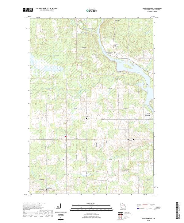
2022 Alexander Lake
Lincoln County, WI
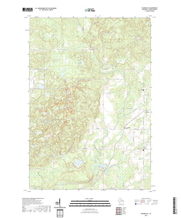
2022 Bloomville
Lincoln County, WI
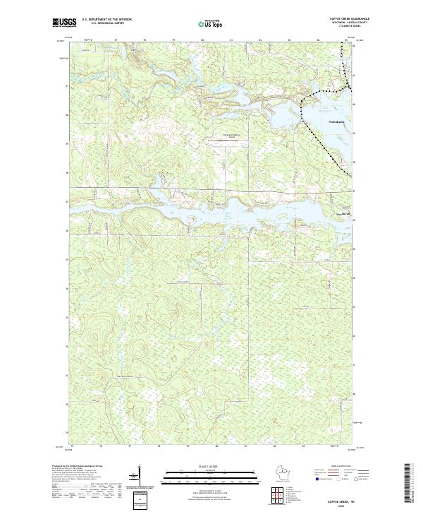
2022 Coffee Creek
Lincoln County, WI
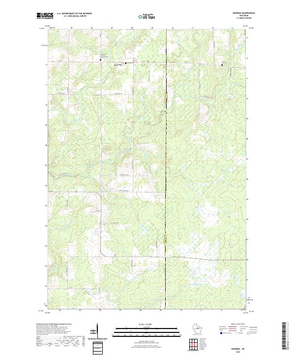
2022 Doering
Lincoln County, WI
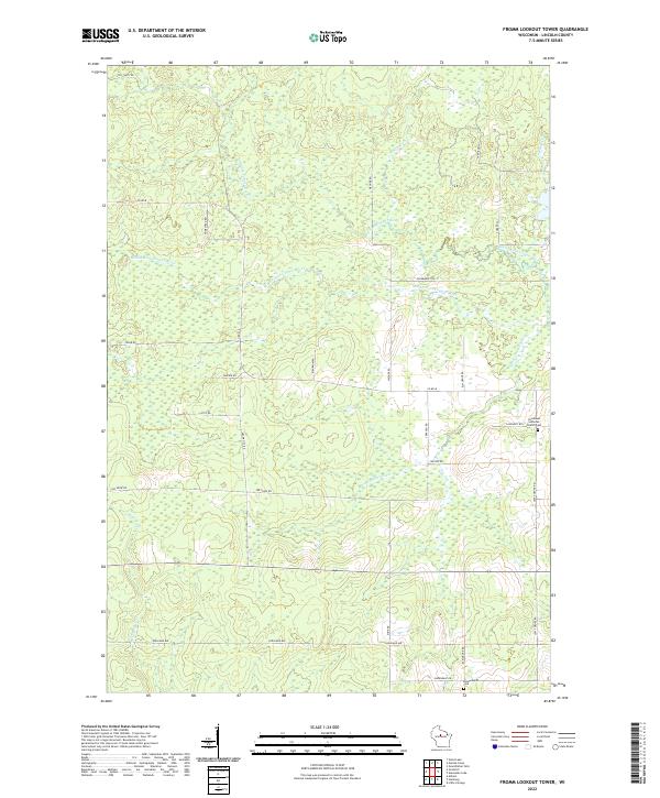
2022 Fromm Lookout Tower
Lincoln County, WI
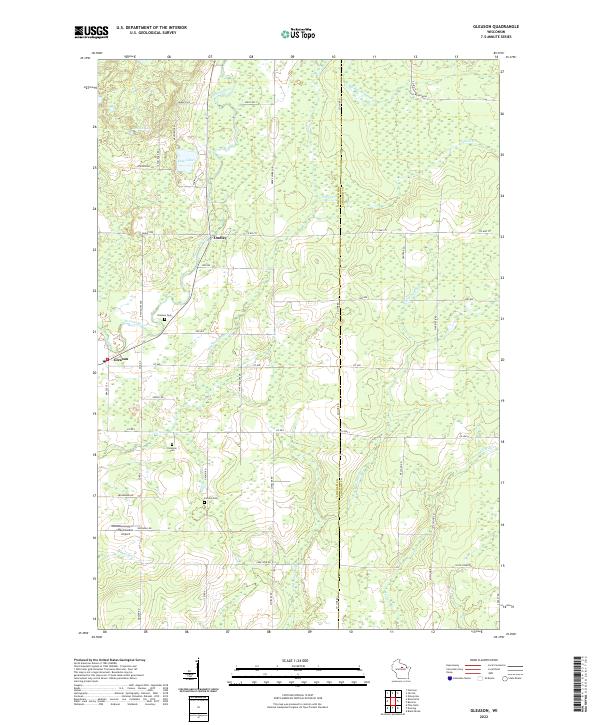
2022 Gleason
Lincoln County, WI
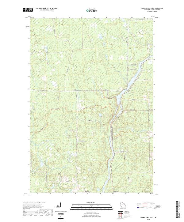
2022 Grandfather Falls
Lincoln County, WI
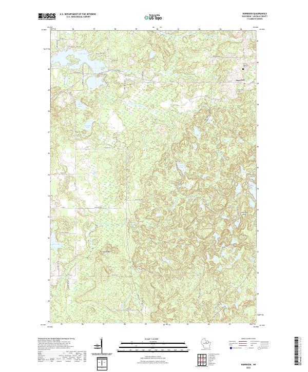
2022 Harrison
Lincoln County, WI
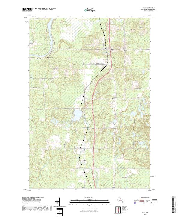
2022 Irma
Lincoln County, WI
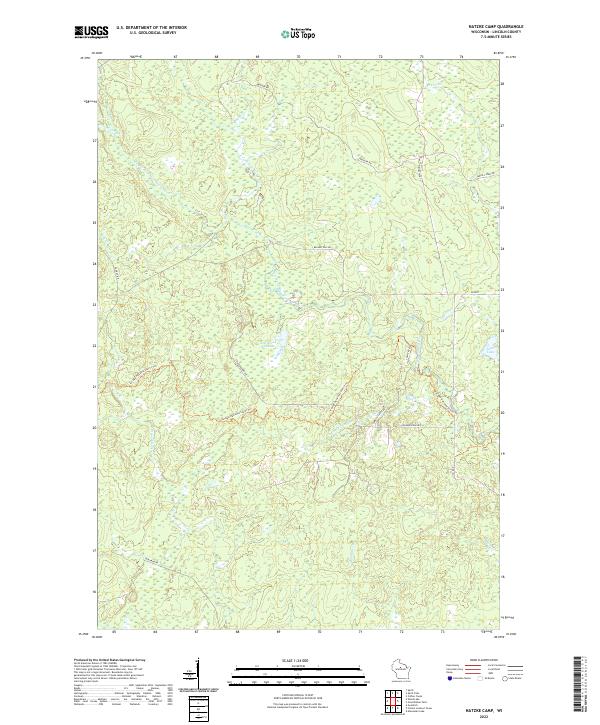
2022 Natzke Camp
Lincoln County, WI
2022 Parrish
Lincoln County, WI
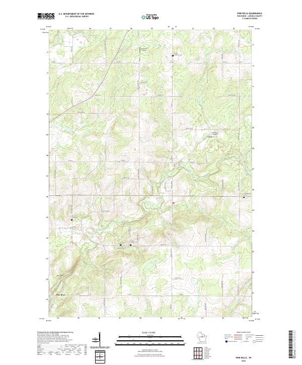
2022 Pine Dells
Lincoln County, WI
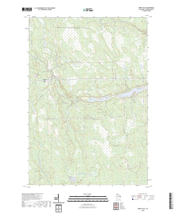
2023 Spirit Falls
Lincoln County, WI