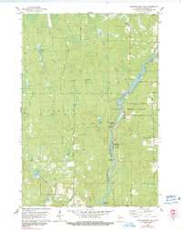
1978 Map of Grandfather Falls
USGS Topo · Published 1991About this map
Wisconsin River power and industrial history dominate this 1970s landscape in Lincoln County, centered on the significant drop at Grandfather Falls. The infrastructure of the era is clearly visible, including the Grandfather Dam, its associated Powerplant Substation, and the heavy Penstocks that channel the river's force. The transition from industrial use to recreation is evident in the presence of Camp New Wood County Park and the School Camp near the riverbanks.
Find a feature on this map
37 named features on this map. Tap any name to fly to it.
Don’t see what you’re looking for? This feature index may not catch every label — zoom into the map to look around manually.
Map Details
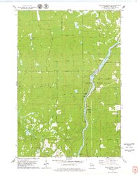
Editions of this 1978 Grandfather Falls Map
2 editions found
Other maps of this area

1899 · Wausau
USGS Topo · 1:125,000

1902 · Wausau
USGS Topo · 1:125,000

1902 · Marathon
USGS Topo · 1:125,000

1950 · Tomahawk
USGS Topo · 1:48,000

1950 · Spirit Falls
USGS Topo · 1:48,000

1951 · Merrill
USGS Topo · 1:48,000

1951 · Hamburg
USGS Topo · 1:48,000

1952 · Spirit Falls
USGS Topo · 1:48,000

1952 · Tomahawk
USGS Topo · 1:48,000

1954 · Iron Mountain
USGS Topo · 1:250,000