
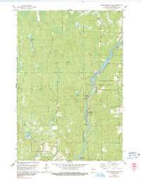
1978 Map of Grandfather Falls
USGS Topo · Published 1978About this map
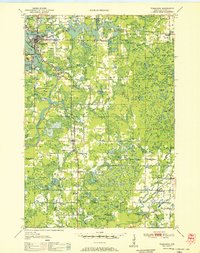
The Wisconsin River dominates this north-central Wisconsin landscape in the late 1970s, carving a path through the townships of Harding and Rock Falls. The river's industrial and hydro-power utility is evidenced by the presence of Grandfather Dam and the associated Powerplant & Substation, alongside the natural churning waters of Grandfather Falls and Posey Rapids. This era shows a transition from heavy rail transport to forest recreation and local access, with the Old Railroad Grade cutting across the terrain while sites like Camp New Wood County Park and the School Camp offer public space near the water.
Find a feature on this map
34 named features on this map. Tap any name to fly to it.
Don’t see what you’re looking for? This feature index may not catch every label — zoom into the map to look around manually.
Map Details
Editions of this 1978 Grandfather Falls Map
2 editions found
Other maps of this area

1899 · Wausau
USGS Topo · 1:125,000

1902 · Wausau
USGS Topo · 1:125,000

1902 · Marathon
USGS Topo · 1:125,000
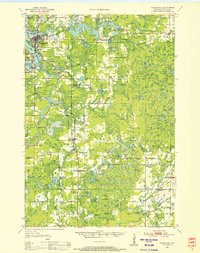
1950 · Tomahawk
USGS Topo · 1:48,000
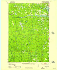
1950 · Spirit Falls
USGS Topo · 1:48,000
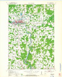
1951 · Merrill
USGS Topo · 1:48,000

1951 · Hamburg
USGS Topo · 1:48,000

1952 · Spirit Falls
USGS Topo · 1:48,000
1952 · Tomahawk
USGS Topo · 1:48,000

1954 · Iron Mountain
USGS Topo · 1:250,000