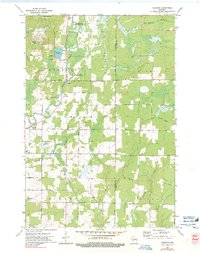
1973 Map of Gleason
USGS Topo · Published 1991About this map
The Prairie River meanders through a landscape of marshy lowlands and wooded terrain in Lincoln and Langlade Counties, defining the character of the settlements at Gleason and Dudley. This region, surveyed in the early 1970s, reveals a specialized ethnic history through the presence of the Estonian Cem and Latvian Cem, indicating the immigrant groups that settled this portion of northern Wisconsin. The Midway Sch and the community of Weir anchor the southern reaches of the map, while the expansive Prairie River State Public Hunting and Fishing Area occupies the northern wetlands.
Find a feature on this map
46 named features on this map. Tap any name to fly to it.
Don’t see what you’re looking for? This feature index may not catch every label — zoom into the map to look around manually.
Map Details
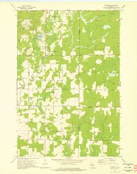
Editions of this 1973 Gleason Map
2 editions found
Other maps of this area

1899 · Wausau
USGS Topo · 1:125,000

1902 · Wausau
USGS Topo · 1:125,000

1940 · Parrish
USGS Topo · 1:48,000

1950 · Parrish
USGS Topo · 1:48,000

1950 · Tomahawk
USGS Topo · 1:48,000

1951 · Doering
USGS Topo · 1:48,000

1951 · Merrill
USGS Topo · 1:48,000

1952 · Parrish
USGS Topo · 1:48,000

1952 · Tomahawk
USGS Topo · 1:48,000

1954 · Iron Mountain
USGS Topo · 1:250,000