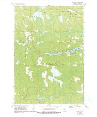
1978 Map of Spirit Falls
USGS Topo · Published 1990About this map
Spirit Falls and the surrounding township boundaries of Somo, Wilson, and Tomahawk define this Northwoods landscape in the late 1970s. The geography is heavily influenced by its logging history, evidenced by several stretches of Old Railroad Grade that traverse the marshy terrain between Papoose Creek and the Somo River. These grades reveal the vanished infrastructure of a timber-driven economy that once dominated Lincoln County.
Find a feature on this map
24 named features on this map. Tap any name to fly to it.
Don’t see what you’re looking for? This feature index may not catch every label — zoom into the map to look around manually.
Map Details
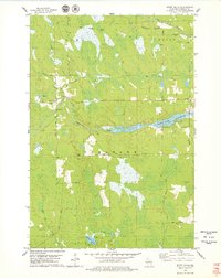
Editions of this 1978 Spirit Falls Map
2 editions found
Other maps of this area

1939 · Mc Cord
USGS Topo · 1:48,000

1941 · Brantwood
USGS Topo · 1:48,000

1943 · Brantwood
USGS Topo · 1:48,000

1945 · Rib Lake
USGS Topo · 1:48,000

1947 · Mc Cord
USGS Topo · 1:48,000

1947 · Rib Lake
USGS Topo · 1:48,000

1949 · Rib Lake
USGS Topo · 1:48,000

1950 · Spirit Falls
USGS Topo · 1:48,000

1952 · Spirit Falls
USGS Topo · 1:48,000

1953 · Rice Lake
USGS Topo · 1:250,000