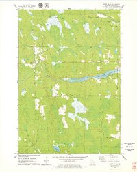
1978 Map of Spirit Falls
USGS Topo · Published 1979About this map
Spirit Falls sits at the convergence of the Spirit River and Squaw Creek in northern Lincoln County, where the landscape transitions between thick wetlands and forested upland. The 1970s terrain is heavily marked by industrial history, most notably the winding paths of the Old Railroad Grade that once supported the region's timber economy. These former rail lines cross several townships, including Somo, Wilson, and Tomahawk, suggesting a past of intense logging activity that has since given way to the managed waters of the Spirit River Flowage.
Find a feature on this map
25 named features on this map. Tap any name to fly to it.
Don’t see what you’re looking for? This feature index may not catch every label — zoom into the map to look around manually.
Map Details
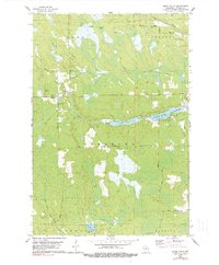
Editions of this 1978 Spirit Falls Map
2 editions found
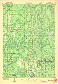
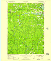
Other maps of this area

1939 · Mc Cord
USGS Topo · 1:48,000

1941 · Brantwood
USGS Topo · 1:48,000
1943 · Brantwood
USGS Topo · 1:48,000

1945 · Rib Lake
USGS Topo · 1:48,000

1947 · Mc Cord
USGS Topo · 1:48,000

1947 · Rib Lake
USGS Topo · 1:48,000

1949 · Rib Lake
USGS Topo · 1:48,000
1950 · Spirit Falls
USGS Topo · 1:48,000

1952 · Spirit Falls
USGS Topo · 1:48,000

1953 · Rice Lake
USGS Topo · 1:250,000