Old Maps of Gilbert, Wisconsin for Academic Research
Study the evolution of Gilbert with 12 high-resolution historic maps. Whether you're teaching, researching, or modeling changes in land use, these maps provide essential visual documentation of urban, environmental, and geographic change.
- Analyze long-term change: Track patterns in development, transportation, and natural features.
- Ideal for environmental or urban studies: Support academic projects with primary historical map data.
- Use in the classroom or lab: Educators and researchers rely on these maps to bring historical context to life.
These maps are a powerful tool for teaching, research, and visualizing how Gilbert has changed over the decades.
Gilbert, WI maps
(12)- 1950 Map of Tomahawk, 1956 Print
 1950 Tomahawk1956 Print · USGSThe river and rail networks of Lincoln County are captured here in the early fifties, centering on the industrial activity of the Wisconsin River. Genealogists and historians can trace family roots through numerous country schools and cemeteries like Calvary Cemetery, Little Pine Creek School, and the settlement at Irma.
 - 1952 Map of Tomahawk
 1952 Tomahawk1952 Print · USGSWisconsin's timber country comes into focus in the early fifties as the river-driven economy of Lincoln County transitions toward modernization. Genealogists and historians can locate rural landmarks like Irma, the Dotter Sch (Abandoned), and Calvary Cem.
 - 1954 Map of Iron Mountain, 1964 Print
 1954 Iron Mountain1964 Print · USGSUpper Michigan and Northeastern Wisconsin are shown in detail during the mid-fifties, when the logging and mining economies still moved by rail. Trace the rail lines of the Soo Line to remote stops like Koepenick Station or explore the Iron Range near Iron Mountain.2 unique versions available
 - 1959 Map of Iron Mountain
 1959 Iron Mountain1959 Print · USGSThe northwoods of Wisconsin and the Michigan border are captured here in the mid-fifties, showing a landscape defined by timber, water, and rail. Researchers can trace historic junctions like Hiles Junction, the expansive Nicolet National Forest, and lakefront settlements from Rhinelander to Tomahawk.2 unique versions available
 - 1966 Map of Tomahawk, 1968 Print
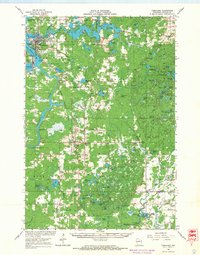 1966 Tomahawk1968 Print · USGSLincoln County in the mid-sixties remains a landscape defined by timber, water power, and the rail lines connecting them. Genealogists and historians can trace families and industries through sites like Kings Dam, Bethany Ch, and the rural community of Irma.
 - 1982 Map of Tomahawk, 1983 Print
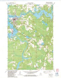 1982 Tomahawk1983 Print · USGSThe industrial and riparian heart of Lincoln County is shown here in the early eighties, centered on the confluence of the Wisconsin and Spirit Rivers. Genealogists and local historians can trace the foundations of Tomahawk and Jersey City, alongside landmarks like Oak Hill Cem and the Kings Dam Powerplant.
 - 1990 Map of Merrill, 1991 Print
 1990 Merrill1991 Print · USGSWisconsin's Northwoods transition from timber industry to recreation in the 1990s, centered on the river corridors of Lincoln and Langlade counties. Genealogists and historians can trace rail history along the Soo Line and Old RR Grade between Merrill and Antigo.
 - 2010 Map of Tomahawk, 2010 Print
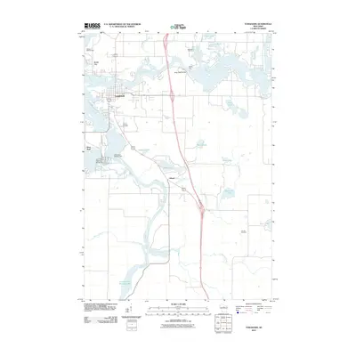 2010 Tomahawk2010 Print · USGSWisconsin’s Northwoods and its industrial riverfront are captured here in the early twenty-first century. Genealogists and local historians can trace the development of Tomahawk and Jersey City near landmarks like Calvary Cemetery and the Kings Dam.
 - 2013 Map of Tomahawk, 2013 Print
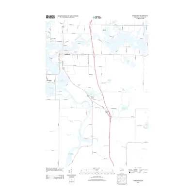 2013 Tomahawk2013 Print · USGSThe Wisconsin River corridor at the start of the 2010s shows a landscape deeply integrated with its waters. Trace the layout of riverfront settlements like Tomahawk and Jersey City, or locate specific landmarks from Bradley Park to the shores of Lake Mohawksin.
 - 2015 Map of Tomahawk, 2015 Print
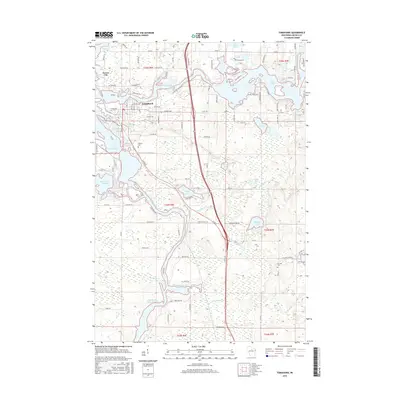 2015 Tomahawk2015 Print · USGSWisconsin's Northwoods come into focus in this recent survey of the river-side settlements in Lincoln County. Researchers can trace local heritage at Calvary Cem and Oak Hill Cem or explore the extensive shorelines of Lake Alice and Lake Mohawksin.
 - 2018 Map of Tomahawk, 2018 Print
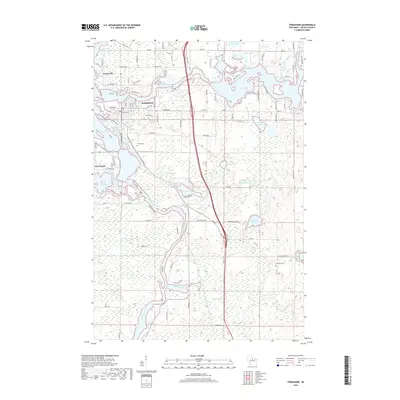 2018 Tomahawk2018 Print · USGSLincoln County’s river-driven landscape is shown here in the late 2010s, centered on the confluence of the Wisconsin and Spirit rivers. Genealogists and local historians can trace family locations near Jersey City, Calvary Cem, and Oak Hill Cem.
 - 2022 Map of Tomahawk, 2022 Print
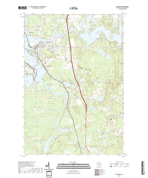 2022 Tomahawk2022 Print · USGSTomahawk and the surrounding Northwoods lakes are showcased here as they appeared in the early twenty-first century. Genealogists and local historians can trace family locations near Calvary Cem, Jersey City, and the shorelines of Lake Mohawksin or Lake Alice.
End of results
Showing maps 1-12 of 12
Top cities near Gilbert
- Merrill historical maps
- Rhinelander historical maps
- Tomahawk historical maps
- Newbold historical maps
- Bradley historical maps
- Pine River historical maps
See more
Frequently asked questions
- What are the different types of historical maps available for Gilbert?
- What is the oldest map of Gilbert?
- Where can I purchase historical maps of Gilbert for my home or office?
- Where can I download high-res historical maps of Gilbert?
- Are there historical topographic maps available for Gilbert?
- Is there historical aerial imagery available for Gilbert?
- Where are historical maps of Gilbert sourced from?