Old Maps of Bundy, Wisconsin for Academic Research
Study the evolution of Bundy with 12 high-resolution historic maps. Whether you're teaching, researching, or modeling changes in land use, these maps provide essential visual documentation of urban, environmental, and geographic change.
- Analyze long-term change: Track patterns in development, transportation, and natural features.
- Ideal for environmental or urban studies: Support academic projects with primary historical map data.
- Use in the classroom or lab: Educators and researchers rely on these maps to bring historical context to life.
These maps are a powerful tool for teaching, research, and visualizing how Bundy has changed over the decades.
Bundy, WI maps
(12)- 1940 Map of Parrish
 1940 Parrish1940 Print · USGSUpper Wisconsin during the early 1940s is captured here at the edges of Three counties. Researchers can trace the Chicago and Northwestern rail line and locate the Enterprise settlement near Shingle Mill Lake before the full survey was completed.
 - 1950 Map of Parrish, 1956 Print
 1950 Parrish1956 Print · USGSLanglade and Lincoln Counties are shown in the early fifties as a landscape of timber-era relics and rural immigrant communities. Researchers can trace the Old Railroad Grade and locate cultural landmarks like the Estonian Ch or the Liberty Bell Sch.2 unique versions available
 - 1952 Map of Parrish
 1952 Parrish1952 Print · USGSLanglade and Lincoln Counties are shown in the early fifties during a period of transition for Northwoods timber and farming communities. You can trace early ethnic heritage through the Estonian Ch, locate old logging routes like the old railroad grade, and find schools like Good Luck Sch.
 - 1954 Map of Iron Mountain, 1964 Print
 1954 Iron Mountain1964 Print · USGSUpper Michigan and Northeastern Wisconsin are shown in detail during the mid-fifties, when the logging and mining economies still moved by rail. Trace the rail lines of the Soo Line to remote stops like Koepenick Station or explore the Iron Range near Iron Mountain.2 unique versions available
 - 1959 Map of Iron Mountain
 1959 Iron Mountain1959 Print · USGSThe northwoods of Wisconsin and the Michigan border are captured here in the mid-fifties, showing a landscape defined by timber, water, and rail. Researchers can trace historic junctions like Hiles Junction, the expansive Nicolet National Forest, and lakefront settlements from Rhinelander to Tomahawk.2 unique versions available
 - 1973 Map of Parrish, 1976 Print
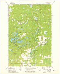 1973 Parrish1976 Print · USGSNorthern Wisconsin lake country in the 1970s is defined by its glacial terrain and timber history. Researchers can locate the Parrish Cem, trace the Old Railroad Grade, and explore the vast Prairie River State Public Hunting and Fishing Area.2 unique versions available
 - 1990 Map of Merrill, 1991 Print
 1990 Merrill1991 Print · USGSWisconsin's Northwoods transition from timber industry to recreation in the 1990s, centered on the river corridors of Lincoln and Langlade counties. Genealogists and historians can trace rail history along the Soo Line and Old RR Grade between Merrill and Antigo.
 - 2010 Map of Parrish, 2010 Print
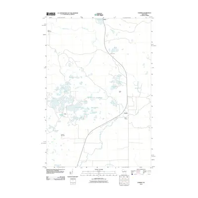 2010 Parrish2010 Print · USGSNorth-central Wisconsin’s glacial lake country is captured here during the early twenty-first century, showing the crossroads of Parrish and Bundy. Genealogists and local historians can locate the Parrish Cemetery or trace old routes near Jeffris Junction and Paulson Junction.
 - 2013 Map of Parrish, 2013 Print
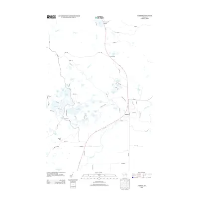 2013 Parrish2013 Print · USGSLincoln County’s glacial landscape is meticulously charted in this 2013 survey, showing a lake-studded wilderness at a modern crossroads. Researchers can trace the path of the Ice Age Natl Scenic Trl past historic settlements like Parrish and Bundy.
 - 2015 Map of Parrish, 2015 Print
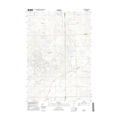 2015 Parrish2015 Print · USGSWisconsin's glacial highlands come into focus in this 2015 survey of the lake-studded Harrison Hills. Trace the Ice Age National Scenic Trail as it crosses the Prairie River near the settlement of Parrish and the historic Parrish Cemetery.
 - 2018 Map of Parrish, 2018 Print
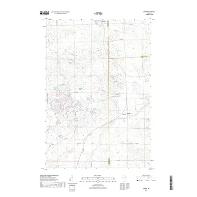 2018 Parrish2018 Print · USGSThe high ridges of the Harrison Hills and the lakeside settlement of Parrish are captured here in the late twenty-teens. Researchers can trace local genealogy at Parrish Cem or locate family properties near Seven Island Lake and Lookout Mtn.
 - 2022 Map of Parrish, 2022 Print
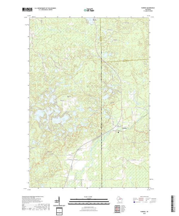 2022 Parrish2022 Print · USGSLincoln County’s lake country is captured in this modern survey, showing the deep glacial legacy of the Harrison Hills. Researchers can locate the Parrish Cemetery and trace old routes through the woods between Parrish and Bundy near Seven Island Lake.
End of results
Showing maps 1-12 of 12
Top cities near Bundy
- Rhinelander historical maps
- Newbold historical maps
- Three Lakes historical maps
- Elcho historical maps
- Lake Tomahawk historical maps
- Harrison historical maps
See more
Frequently asked questions
- What are the different types of historical maps available for Bundy?
- What is the oldest map of Bundy?
- Where can I purchase historical maps of Bundy for my home or office?
- Where can I download high-res historical maps of Bundy?
- Are there historical topographic maps available for Bundy?
- Is there historical aerial imagery available for Bundy?
- Where are historical maps of Bundy sourced from?