2000s (21st Century) Maps of Merrill, Wisconsin
Explore 25 historic maps of Merrill from the 2000s (21st Century). These maps offer a rare glimpse into what life looked like during the 2000s — showing old roads, neighborhoods, homes, and landmarks that have changed or disappeared over time.
Whether you're researching your family's past, planning a metal detecting trip, or studying how Merrill's landscape evolved across the 2000s, these high-resolution maps are a powerful tool for exploring the history of this region.
- Focus on a specific era: All maps on this page are from the 2000s, giving you a focused view of this time period.
- See what’s changed: Compare century-old streets, trails, and buildings to today's modern landscape using overlays and satellite layers.
- Research with precision: Use these maps for genealogy, historical research, land use analysis, or educational projects.
- View, download, or print: Maps are fully viewable online in high resolution, and can be downloaded or printed for your own records.
Start exploring Merrill's history through authentic maps from the 2000s. This is your window into the past.
Merrill, WI maps
(25)- 2010 Map of Pine Dells, 2010 Print
 2010 Pine Dells2010 Print · USGSCovers Merrill, including Pine River, Schley, and other nearby areas
 - 2010 Map of Merrill, 2010 Print
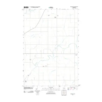
 2010 Merrill2010 Print · USGSCovers Merrill, including Pine River, Rock Falls, and other nearby areas
 - 2010 Map of Bloomville, 2010 Print
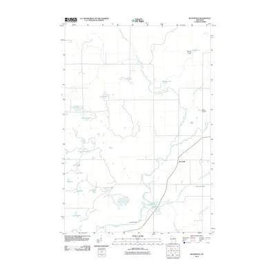 2010 Bloomville2010 Print · USGSCovers Merrill, including Schley, Birch, and other nearby areas
 - 2010 Map of Alexander Lake, 2010 Print
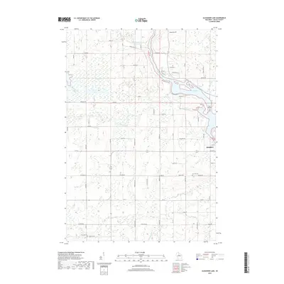
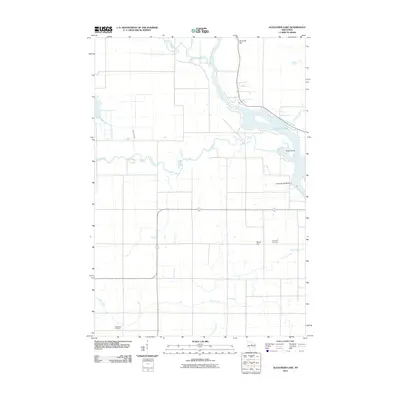 2010 Alexander Lake2010 Print · USGSCovers Merrill, including Corning, Rock Falls, and other nearby areas
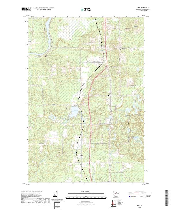
 - 2010 Map of Irma, 2010 Print
 2010 Irma2010 Print · USGSCovers Merrill, including Otis, Irma, and other nearby areas
 - 2013 Map of Bloomville, 2013 Print
 2013 Bloomville2013 Print · USGSCovers Merrill, including Schley, Birch, and other nearby areas
 - 2013 Map of Pine Dells, 2013 Print
 2013 Pine Dells2013 Print · USGSCovers Merrill, including Pine River, Schley, and other nearby areas
 - 2013 Map of Irma, 2013 Print
 2013 Irma2013 Print · USGSCovers Merrill, including Otis, Irma, and other nearby areas
 - 2013 Map of Alexander Lake, 2013 Print
 2013 Alexander Lake2013 Print · USGSCovers Merrill, including Corning, Rock Falls, and other nearby areas
 - 2013 Map of Merrill, 2013 Print
 2013 Merrill2013 Print · USGSCovers Merrill, including Pine River, Rock Falls, and other nearby areas
 - 2015 Map of Pine Dells, 2015 Print
 2015 Pine Dells2015 Print · USGSCovers Merrill, including Pine River, Schley, and other nearby areas
 - 2015 Map of Irma, 2015 Print
 2015 Irma2015 Print · USGSCovers Merrill, including Otis, Irma, and other nearby areas
 - 2015 Map of Merrill, 2015 Print
 2015 Merrill2015 Print · USGSCovers Merrill, including Pine River, Rock Falls, and other nearby areas
 - 2015 Map of Bloomville, 2015 Print
 2015 Bloomville2015 Print · USGSCovers Merrill, including Schley, Birch, and other nearby areas
 - 2015 Map of Alexander Lake, 2015 Print
 2015 Alexander Lake2015 Print · USGSCovers Merrill, including Corning, Rock Falls, and other nearby areas
 - 2018 Map of Merrill, 2018 Print
 2018 Merrill2018 Print · USGSCovers Merrill, including Pine River, Rock Falls, and other nearby areas
 - 2018 Map of Alexander Lake, 2018 Print
 2018 Alexander Lake2018 Print · USGSCovers Merrill, including Corning, Rock Falls, and other nearby areas
 - 2018 Map of Pine Dells, 2018 Print
 2018 Pine Dells2018 Print · USGSCovers Merrill, including Pine River, Schley, and other nearby areas
 - 2018 Map of Irma, 2018 Print
 2018 Irma2018 Print · USGSCovers Merrill, including Otis, Irma, and other nearby areas
 - 2018 Map of Bloomville, 2018 Print
 2018 Bloomville2018 Print · USGSCovers Merrill, including Schley, Birch, and other nearby areas
 - 2022 Map of Pine Dells, 2022 Print
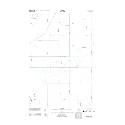
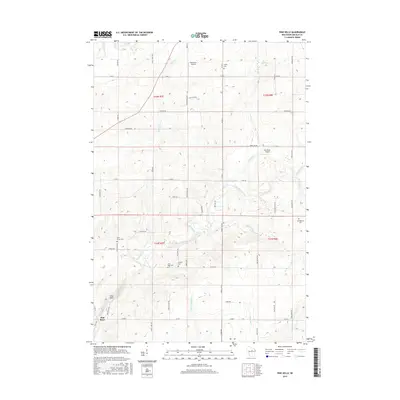
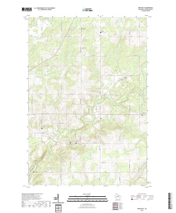 2022 Pine Dells2022 Print · USGSLincoln County’s rural character is on full display here in the early twenty-first century, showing a landscape defined by small airports and dispersed cemeteries. Researchers can locate family sites like Springbrook Cem or trace the winding course of the Pine River and Pat Smith Cr.
 - 2022 Map of Irma, 2022 Print
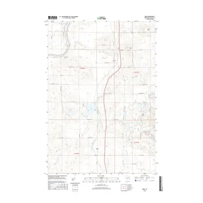
 2022 Irma2022 Print · USGSLincoln County comes to life in this contemporary survey, showing the quiet communities of Irma and Otis as they appear today. Genealogists and historians can trace family locations near Bethany Cem, Woodlawn Cem, and the waters of Tug Lake.
 - 2022 Map of Bloomville, 2022 Print
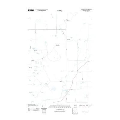
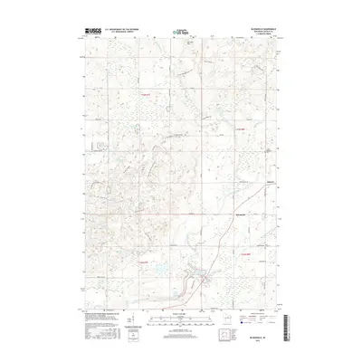
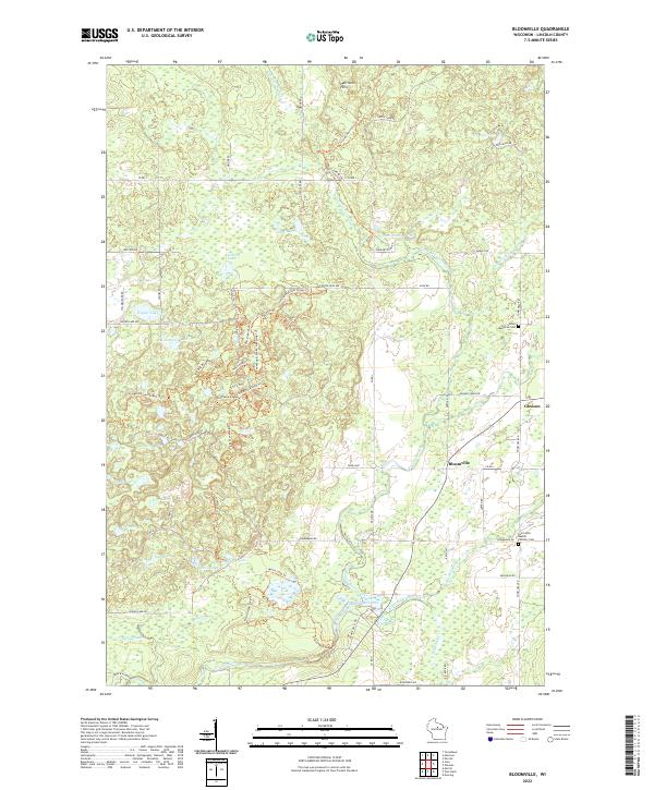 2022 Bloomville2022 Print · USGSLincoln County’s glaciated terrain is documented here in the early 2020s, showing a landscape defined by kettle lakes and river valleys. Genealogists can locate family sites near Gleason, Bloomville, and the Luther Memorial Cem.
 - 2022 Map of Alexander Lake, 2022 Print
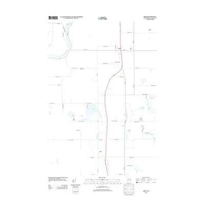
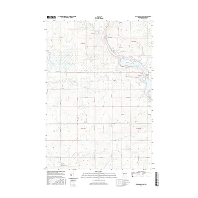
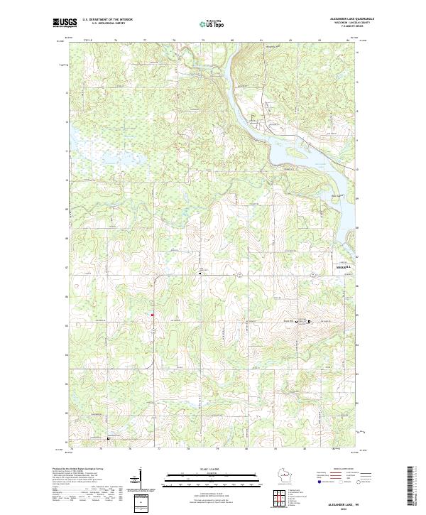 2022 Alexander Lake2022 Print · USGSNorthern Wisconsin lake country and the city of Merrill are documented in this contemporary survey of the Wisconsin River valley. Researchers can trace rural lineages through the Saint Paul Public Cemetery and Snow Hill Cemetery near Snow Hill.
 - 2022 Map of Merrill, 2022 Print
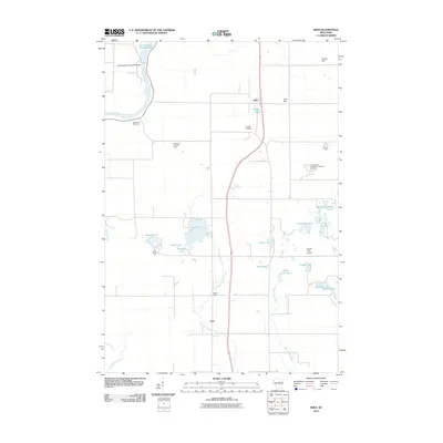
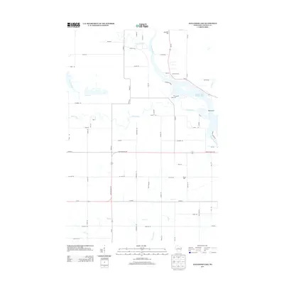
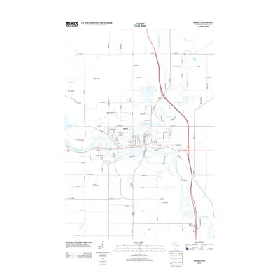
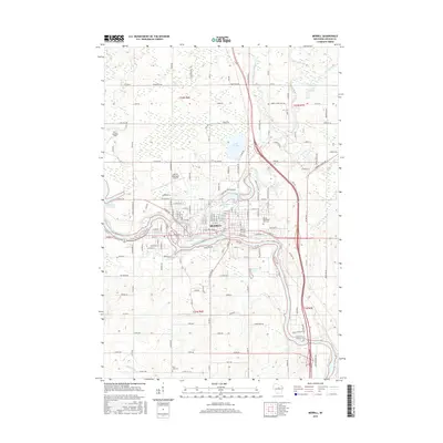
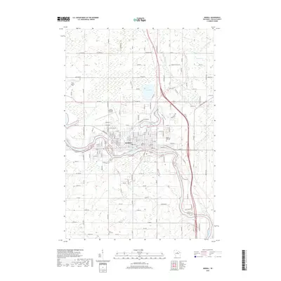
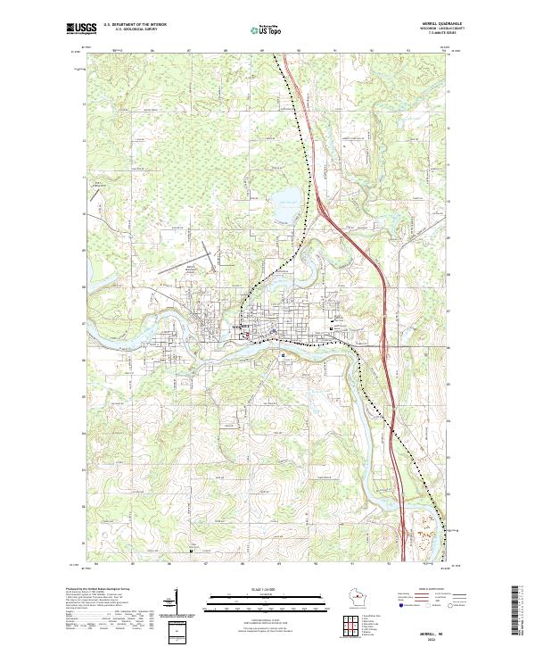 2022 Merrill2022 Print · USGSMerrill sits at the strategic meeting of the Wisconsin and Prairie Rivers in this recent Lincoln County survey. Local historians can trace established landmarks from the Lincoln County Courthouse to several burial grounds like Saint John Cem and Saint Francis Xavier Catholic Cem.
End of results
Showing maps 1-25 of 25
Top cities near Merrill
- Merrill historical maps
- Tomahawk historical maps
- Bradley historical maps
- Maine historical maps
- Pine River historical maps
- Hamburg historical maps
See more
Top neighborhoods of Merrill
Frequently asked questions
- What are the different types of historical maps available for Merrill?
- What is the oldest map of Merrill?
- Where can I purchase historical maps of Merrill for my home or office?
- Where can I download high-res historical maps of Merrill?
- Are there historical topographic maps available for Merrill?
- Is there historical aerial imagery available for Merrill?
- Where are historical maps of Merrill sourced from?