2020s Maps of Pine River, Wisconsin
Explore 6 historic maps of Pine River from the 2020s. These maps offer a rare glimpse into what life looked like during the 2020s — showing old roads, neighborhoods, homes, and landmarks that have changed or disappeared over time.
Whether you're researching your family's past, planning a metal detecting trip, or studying how Pine River's landscape evolved across the 2020s, these high-resolution maps are a powerful tool for exploring the history of this region.
- Focus on a specific era: All maps on this page are from the 2020s, giving you a focused view of this time period.
- See what’s changed: Compare century-old streets, trails, and buildings to today's modern landscape using overlays and satellite layers.
- Research with precision: Use these maps for genealogy, historical research, land use analysis, or educational projects.
- View, download, or print: Maps are fully viewable online in high resolution, and can be downloaded or printed for your own records.
Start exploring Pine River's history through authentic maps from the 2020s. This is your window into the past.
Pine River, WI maps
(6)- 2022 Map of Pine Dells, 2022 Print
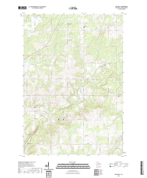 2022 Pine Dells2022 Print · USGSLincoln County’s rural character is on full display here in the early twenty-first century, showing a landscape defined by small airports and dispersed cemeteries. Researchers can locate family sites like Springbrook Cem or trace the winding course of the Pine River and Pat Smith Cr.
 - 2022 Map of Doering, 2022 Print
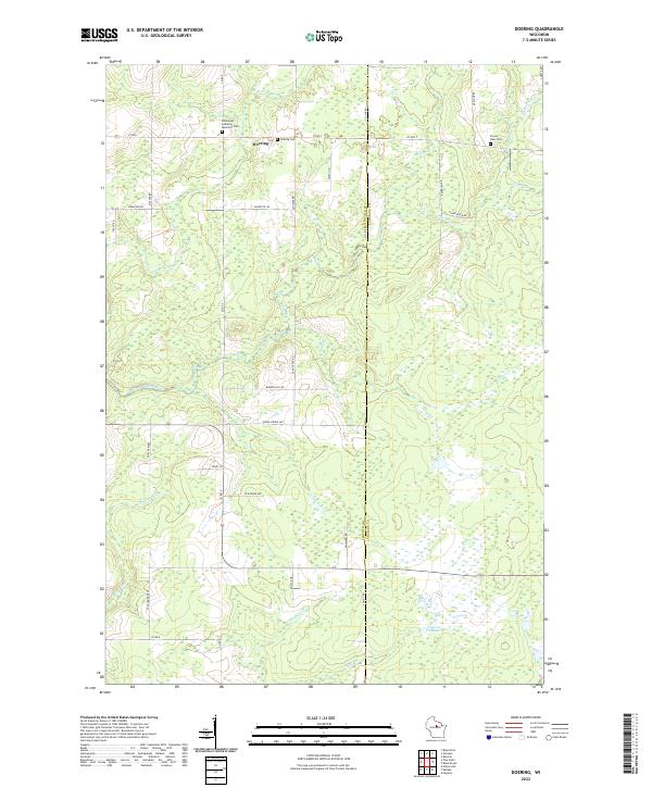 2022 Doering2022 Print · USGSLincoln County at the start of the 2020s shows a landscape of river-fed wetlands and quiet rural crossroads. Researchers can locate family sites near the Emmanuel Lutheran Memorial Cem or trace the waters of the N Br Pine River and Oxbo Creek.
 - 2022 Map of Nutterville, 2022 Print
 2022 Nutterville2022 Print · USGSMarathon County’s rural landscape is captured here in the early twenty-first century, showing the small communities of Nutterville and Maine. Genealogists and local historians can trace family locations near Trinity Cem, Mechanics Ridge Cem, and the banks of the Trappe River.
 - 2022 Map of Kalinke, 2022 Print
 2022 Kalinke2022 Print · USGSMarathon County rural life and drainage patterns are detailed in this recent survey. Researchers can trace family sites at Zion Cemetery or follow the waters of the Trappe River and Big Sandy Creek.
 - 2022 Map of Brokaw, 2022 Print
 2022 Brokaw2022 Print · USGSMarathon County in the modern era maintains its deep connection to the Wisconsin River and its rural roots. Researchers can trace historic family burial sites at Maple Grove Cem or explore the river-hugging settlements of Brokaw and Granite Heights.
 - 2022 Map of Merrill, 2022 Print
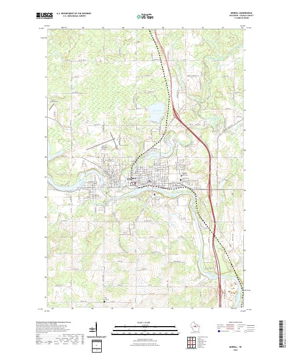 2022 Merrill2022 Print · USGSMerrill sits at the strategic meeting of the Wisconsin and Prairie Rivers in this recent Lincoln County survey. Local historians can trace established landmarks from the Lincoln County Courthouse to several burial grounds like Saint John Cem and Saint Francis Xavier Catholic Cem.
End of results
Showing maps 1-6 of 6
Top cities near Pine River
- Wausau historical maps
- Merrill historical maps
- Rib Mountain historical maps
- Bradley historical maps
- Maine historical maps
- Ringle historical maps
See more
Frequently asked questions
- What are the different types of historical maps available for Pine River?
- What is the oldest map of Pine River?
- Where can I purchase historical maps of Pine River for my home or office?
- Where can I download high-res historical maps of Pine River?
- Are there historical topographic maps available for Pine River?
- Is there historical aerial imagery available for Pine River?
- Where are historical maps of Pine River sourced from?