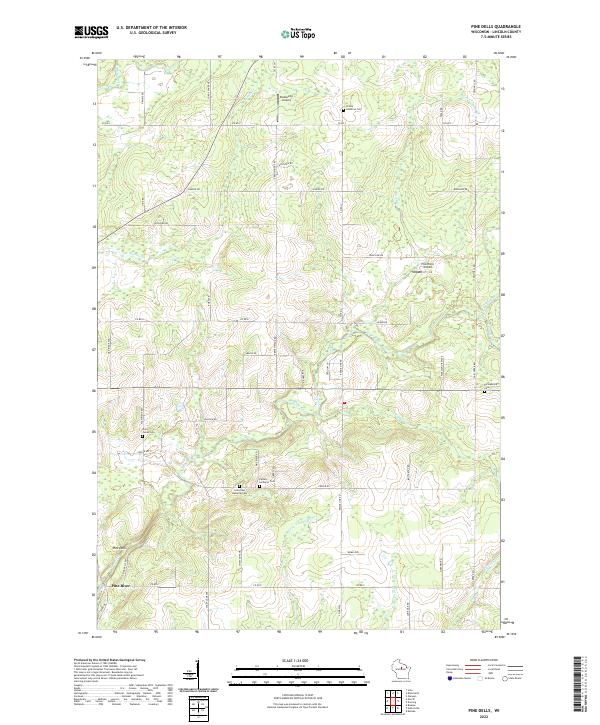
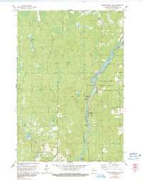
2022 Map of Pine Dells
USGS Topo · Published 2022About this map
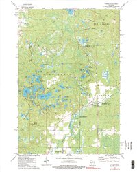
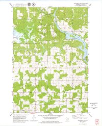
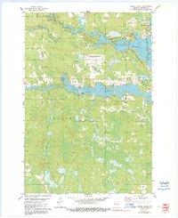
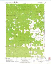
Pine River and its namesake settlement of Pine Dells anchor this portion of Lincoln County, where the landscape is defined by a dense network of watercourses and rural infrastructure. The mapping reveals a series of denominational burial grounds that speak to the area's local genealogy, including Trinity Lutheran Cem, Saint James Cem, and Calvary Lutheran Cem. A mix of agricultural tracts and wooded areas is bisected by a grid of local routes like French Ridge Rd and Range Line Rd, alongside several small aviation facilities such as Podeweltz Airport and Pine River Airport. The hydrological complexity of the region is evident in the numerous tributaries, from the Prairie River in the northwest to Little Trappe River and Big Cain Cr in the south, reflecting the post-glacial drainage patterns characteristic of this part of Wisconsin.
Find a feature on this map
61 named features on this map. Tap any name to fly to it.
Don’t see what you’re looking for? This feature index may not catch every label — zoom into the map to look around manually.
Map Details
Editions of this 2022 Pine Dells Map
This is the sole edition of this map. No revisions or reprints were ever made.
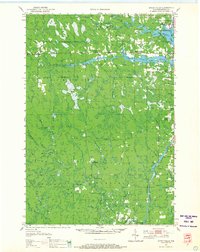
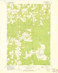
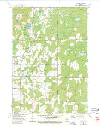
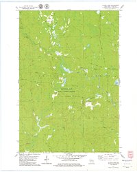
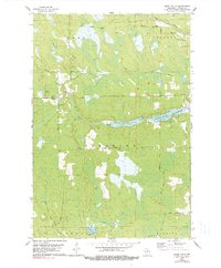
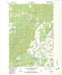
Historical Maps of Pine River Through Time
29 maps found
1950 Spirit Falls
Lincoln County, WI

1951 Hamburg
Lincoln County, WI

1952 Spirit Falls
Lincoln County, WI
1973 Doering
Lincoln County, WI
1973 Gleason
Lincoln County, WI
1973 Parrish
Lincoln County, WI
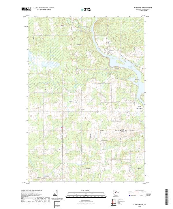
1978 Alexander Lake
Lincoln County, WI
1978 Coffee Creek
Lincoln County, WI
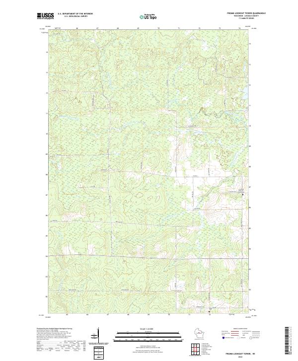
1978 Fromm Lookout Tower
Lincoln County, WI
1978 Grandfather Falls
Lincoln County, WI
1978 Natzke Camp
Lincoln County, WI
1978 Spirit Falls
Lincoln County, WI
1982 Bloomville
Lincoln County, WI
1982 Harrison
Lincoln County, WI
1982 Irma
Lincoln County, WI
1982 Pine Dells
Lincoln County, WI
2022 Alexander Lake
Lincoln County, WI
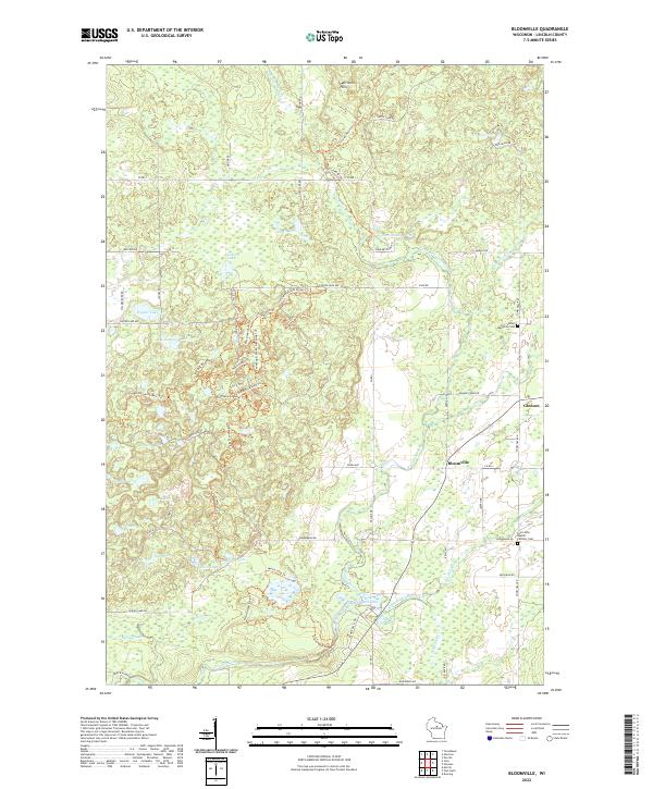
2022 Bloomville
Lincoln County, WI
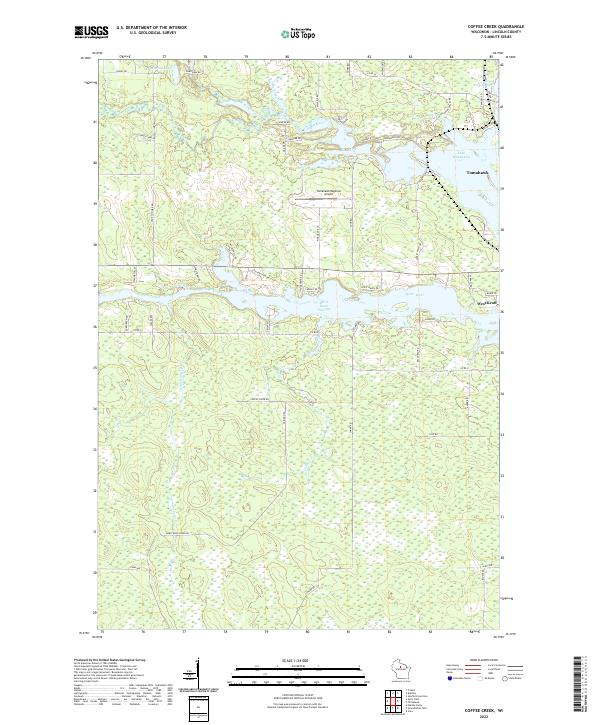
2022 Coffee Creek
Lincoln County, WI
2022 Doering
Lincoln County, WI
2022 Fromm Lookout Tower
Lincoln County, WI
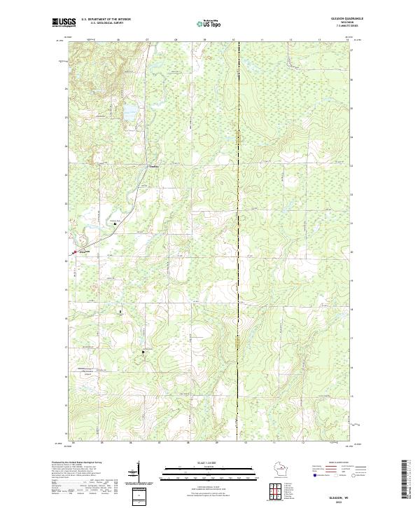
2022 Gleason
Lincoln County, WI
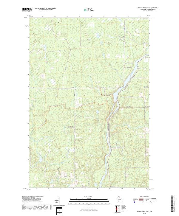
2022 Grandfather Falls
Lincoln County, WI
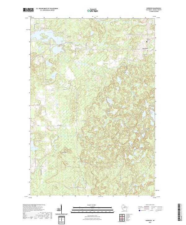
2022 Harrison
Lincoln County, WI
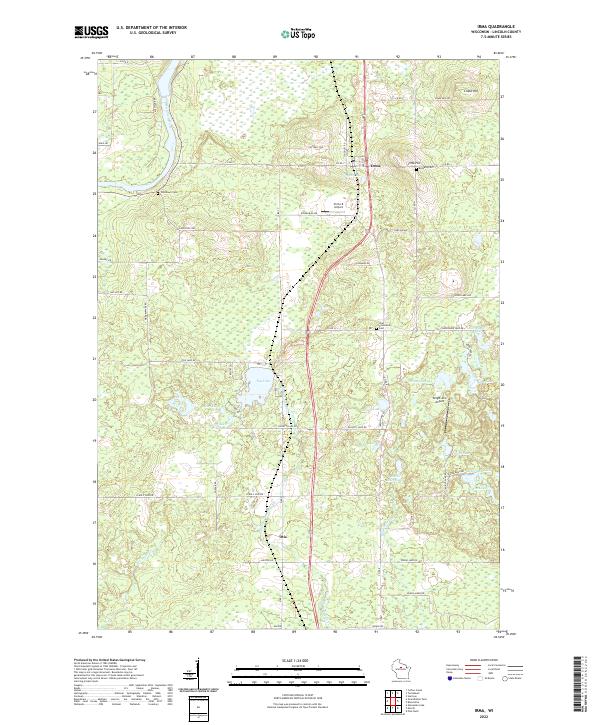
2022 Irma
Lincoln County, WI
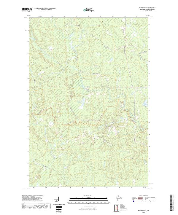
2022 Natzke Camp
Lincoln County, WI
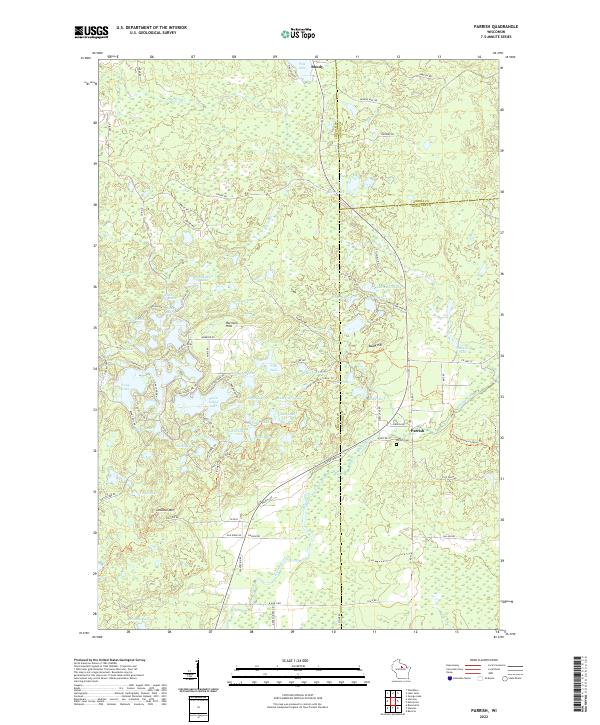
2022 Parrish
Lincoln County, WI
2022 Pine Dells
Lincoln County, WI
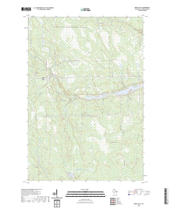
2023 Spirit Falls
Lincoln County, WI