Old Maps of Pine River, Wisconsin for Academic Research
Study the evolution of Pine River with 44 high-resolution historic maps. Whether you're teaching, researching, or modeling changes in land use, these maps provide essential visual documentation of urban, environmental, and geographic change.
- Analyze long-term change: Track patterns in development, transportation, and natural features.
- Ideal for environmental or urban studies: Support academic projects with primary historical map data.
- Use in the classroom or lab: Educators and researchers rely on these maps to bring historical context to life.
These maps are a powerful tool for teaching, research, and visualizing how Pine River has changed over the decades.
Pine River, WI maps
(44)- 1899 Map of Wausau, 1956 Print
 1899 Wausau1956 Print · USGSMarathon County was a bustling timber and rail corridor at the turn of the century, anchored by the river power of Wausau and Merrill. Researchers can trace early logging lines like the Bull Dessert Logging R R and find vanished stops such as Dessert Junction and Nutterville.
 - 1902 Map of Wausau
 1902 Wausau1902 Print · USGSWisconsin’s timber and rail heartland is meticulously documented at the turn of the century as Wausau and Merrill expand along the river. Genealogists can trace early homesteads and rail stops like Schofield, Granite Heights, and the grounds of the State Insane Asylum.2 unique versions available
 - 1951 Map of Doering, 1954 Print
 1951 Doering1954 Print · USGSNorthwoods rural life is captured here in the early fifties across the intersection of Lincoln, Langlade, and Marathon counties. Genealogists can trace family footprints near Nutterville, Kalinke, and several country schools like Farrell Sch.2 unique versions available
 - 1951 Map of Merrill, 1954 Print
 1951 Merrill1954 Print · USGSThe Wisconsin River valley comes alive in this midcentury survey, showing the growth of Merrill and the paper mill life at Brokaw. Genealogists can trace family roots through numerous rural landmarks like Dutch Corners, St James Cem, and the Taegesville Sch.
 - 1954 Map of Iron Mountain, 1964 Print
 1954 Iron Mountain1964 Print · USGSUpper Michigan and Northeastern Wisconsin are shown in detail during the mid-fifties, when the logging and mining economies still moved by rail. Trace the rail lines of the Soo Line to remote stops like Koepenick Station or explore the Iron Range near Iron Mountain.2 unique versions available
 - 1959 Map of Iron Mountain
 1959 Iron Mountain1959 Print · USGSThe northwoods of Wisconsin and the Michigan border are captured here in the mid-fifties, showing a landscape defined by timber, water, and rail. Researchers can trace historic junctions like Hiles Junction, the expansive Nicolet National Forest, and lakefront settlements from Rhinelander to Tomahawk.2 unique versions available
 - 1966 Map of Merrill, 1968 Print
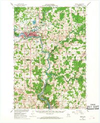 1966 Merrill1968 Print · USGSMerrill and the river valleys of central Wisconsin are captured here in the mid-1960s as a thriving hub of rail and water-based industry. Genealogists can trace old family sites like Taegesville and Natterville or locate rural landmarks such as St James Cem and Mission Ch.2 unique versions available
 - 1973 Map of Kalinke, 1976 Print
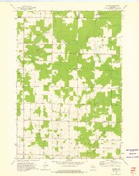 1973 Kalinke1976 Print · USGSIn the early 1970s, the rural crossroads of Marathon County supported a quiet network of family farms and river-fed wetlands. Genealogists and local historians can locate early institutions like Zion Ch, Trinity Cem, and the Hewitt Texas Sch.
 - 1973 Map of Doering, 1976 Print
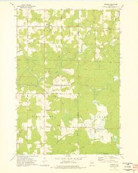 1973 Doering1976 Print · USGSThe northern woods of Lincoln County come to life in this mid-seventies survey of the area around Doering. Genealogists and historians can trace the Old Railroad Grade past Wildwood Ch and find family names at Forest View Cem.
 - 1982 Map of Brokaw, 1983 Print
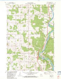 1982 Brokaw1983 Print · USGSThe Wisconsin River valley comes into sharp focus in the early eighties as a hub of paper milling and rail transport. Genealogists can trace family roots through markers like Maple Grove Cem, St John Ch, and the small settlement at Taegesville.
 - 1982 Map of Nutterville, 1983 Print
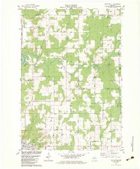 1982 Nutterville1983 Print · USGSMarathon County in the early eighties shows a landscape of river-fed valleys and quiet township life. Researchers can find old family landmarks and country congregations such as St Peter Ch, Mechanic Ridge Cem, and the settlement of Schuett.
 - 1982 Map of Merrill, 1983 Print
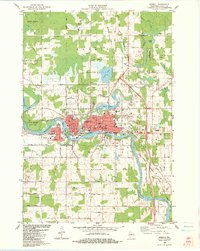 1982 Merrill1983 Print · USGSThe city of Merrill at the start of the 1980s remains centered on the Wisconsin River and its rail connections. Researchers can trace local lineage through St John Cem and locate civic landmarks like the Courthouse and Lincoln Sch.
 - 1982 Map of Pine Dells, 1983 Print
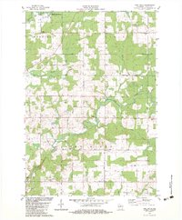 1982 Pine Dells1983 Print · USGSThe rural landscape of Lincoln County comes into focus in the early eighties, centered on the Pine River and the community of Pine Dells. Genealogists can locate family landmarks like Trinity Cem, Springbrook Cem, and St Paul Ch among the winding creek beds.
 - 1990 Map of Merrill, 1991 Print
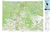 1990 Merrill1991 Print · USGSWisconsin's Northwoods transition from timber industry to recreation in the 1990s, centered on the river corridors of Lincoln and Langlade counties. Genealogists and historians can trace rail history along the Soo Line and Old RR Grade between Merrill and Antigo.
 - 2010 Map of Pine Dells, 2010 Print
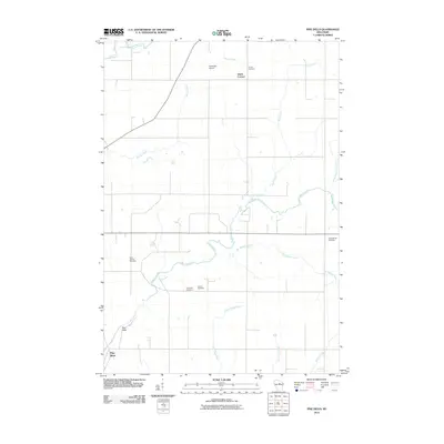 2010 Pine Dells2010 Print · USGSLincoln County at the turn of the decade is defined by the winding course of the Pine River and its rural townships. Genealogists can trace family footprints through numerous local landmarks, including Saint Paul Cemetery, Dutch Corners, and Podeweltz Airport.
 - 2010 Map of Merrill, 2010 Print
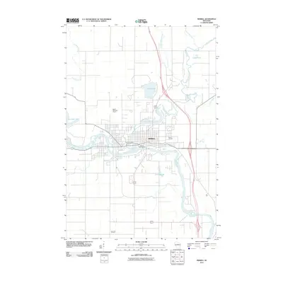 2010 Merrill2010 Print · USGSMerrill is shown at a point of modern maturity in the early twenty-first century, centered on its historic river confluence. Researchers can trace the layout of the city near the Merrill 1874C118 Dam and locate family history sites like Merrill Cemetery or Saint John Cemetery.
 - 2010 Map of Doering, 2010 Print
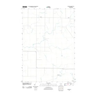 2010 Doering2010 Print · USGSLincoln County’s rural northern landscape is captured here in the early 2000s, showcasing a network of rivers and small settlements. Researchers can locate the Forest View Cemetery and trace the paths of Pine River and Oxbo Creek near the community of Doering.
 - 2010 Map of Kalinke, 2010 Print
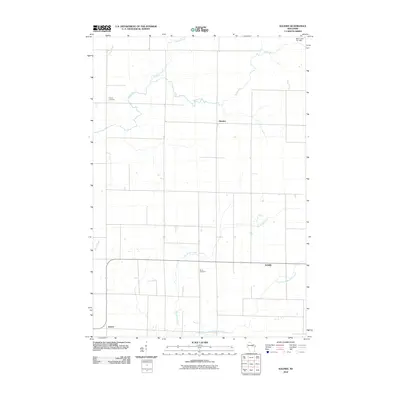 2010 Kalinke2010 Print · USGSPine River and the surrounding Wisconsin countryside are captured here in the early twenty-first century, showing a landscape of quiet crossroads and winding waterways. Researchers can locate family landmarks like Trinity Cemetery and trace the paths of Big Sandy Creek and the Trappe River.
 - 2010 Map of Nutterville, 2010 Print
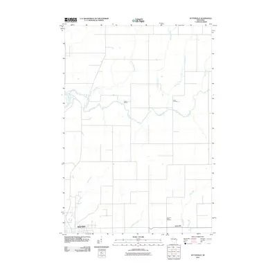 2010 Nutterville2010 Print · USGSThe rural countryside northeast of Wausau is captured here at the start of the 2010s, showing a landscape defined by the winding Trappe River. Genealogists can locate family landmarks like Chiber Cemetery, Mechanic Ridge Cemetery, and the crossroads at Nutterville.
 - 2010 Map of Brokaw, 2010 Print
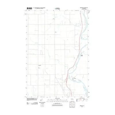 2010 Brokaw2010 Print · USGSMarathon County’s riverfront communities and rural townships are captured here at the start of the 2010s. Researchers can locate family landmarks such as Jehn Cemetery and Zion Cemetery, or trace the settlement patterns of Brokaw and Granite Heights along the Wisconsin River.
 - 2013 Map of Pine Dells, 2013 Print
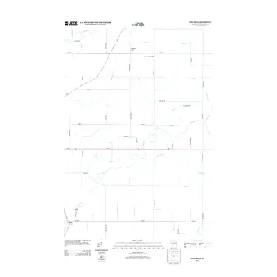 2013 Pine Dells2013 Print · USGSLincoln County at the start of the 2010s shows a landscape of river valleys and rural crossroads north of the city of Merrill. Genealogists can locate family lands near Dutch Corners or trace the winding courses of the Prairie River and Pine River.
 - 2013 Map of Nutterville, 2013 Print
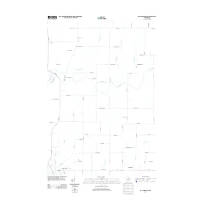 2013 Nutterville2013 Print · USGSMarathon County is shown in detail during the early 2010s, where the rural settlement of Nutterville anchors a landscape defined by the Trappe River. Researchers can trace the layout of family-named routes and landmarks like Camp Blessing and Granite Heights Rd.
 - 2013 Map of Merrill, 2013 Print
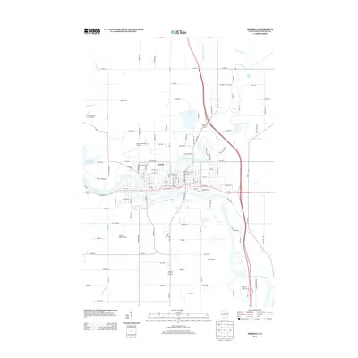 2013 Merrill2013 Print · USGSMerrill and the surrounding Lincoln County countryside appear here during the early twenty-first century as the city centers on the Wisconsin River confluence. Researchers can trace the local landscape from Helene's Hilltop Orchard to the shores of Lake Pesobic.
 - 2013 Map of Kalinke, 2013 Print
 2013 Kalinke2013 Print · USGSMarathon and Lincoln counties meet in this 2013 survey, capturing the rural character of the Wisconsin heartland. Genealogists and local historians can trace family-named routes and small settlements like Kalinke, Glandon, and the Knight Sky Airport.
 - 2013 Map of Doering, 2013 Print
 2013 Doering2013 Print · USGSPine River and its tributaries wind through Lincoln County in the early twenty-first century, revealing a landscape shaped by water and rural transit. Researchers can trace the layout of Doering and local landmarks like Gleason Flowage 2 and Pat Smith Cr.
Showing maps 1-25 of 44
Top cities near Pine River
- Wausau historical maps
- Merrill historical maps
- Rib Mountain historical maps
- Bradley historical maps
- Maine historical maps
- Ringle historical maps
See more
Frequently asked questions
- What are the different types of historical maps available for Pine River?
- What is the oldest map of Pine River?
- Where can I purchase historical maps of Pine River for my home or office?
- Where can I download high-res historical maps of Pine River?
- Are there historical topographic maps available for Pine River?
- Is there historical aerial imagery available for Pine River?
- Where are historical maps of Pine River sourced from?