Old Maps of Manitowoc, Wisconsin for Academic Research
Study the evolution of Manitowoc with 34 high-resolution historic maps. Whether you're teaching, researching, or modeling changes in land use, these maps provide essential visual documentation of urban, environmental, and geographic change.
- Analyze long-term change: Track patterns in development, transportation, and natural features.
- Ideal for environmental or urban studies: Support academic projects with primary historical map data.
- Use in the classroom or lab: Educators and researchers rely on these maps to bring historical context to life.
These maps are a powerful tool for teaching, research, and visualizing how Manitowoc has changed over the decades.
Manitowoc, WI maps
(34)- 1954 Map of Manitowoc, 1956 Print
 1954 Manitowoc1956 Print · USGSThe Lake Michigan shoreline of Manitowoc and Two Rivers is captured here in the mid-1950s, showing a landscape of maritime industry and rural school districts. Genealogists can locate family landmarks like the Holy Family Convent, Francis Creek National Cem, and the Salem Sch (Abandoned).2 unique versions available
 - 1954 Map of Reedsville, 1956 Print
 1954 Reedsville1956 Print · USGSManitowoc County's dairy heartland is captured in the mid-fifties, showing a landscape densely dotted with rural schoolhouses and family-named crossroads. Genealogists and historians can locate dozens of institutions like St Marys Cem, Cato Falls Sch, and the Maple Crest Sanatorium.2 unique versions available
 - 1954 Map of Manitowoc, 1956 Print
 1954 Manitowoc1956 Print · USGSManitowoc's industrial shoreline and the surrounding dairy country are captured here at the peak of the postwar era. Local historians can trace the foundations of the lakefront economy at Manitowoc Harbor or find rural family landmarks like the Holy Family Convent and Whittier Sch.2 unique versions available
 - 1954 Map of Manitowoc, 1968 Print
 1954 Manitowoc1968 Print · USGSLake Michigan served as a vital transit corridor in the mid-fifties, with car and auto ferries linking the industrial ports of Wisconsin to the Michigan timberlands. Genealogists and maritime historians can trace active ferry routes like the Ann Arbor Railway Car and Auto Ferry and locate early settlements from Brussels to Algoma.2 unique versions available
 - 1958 Map of Manitowoc
 1958 Manitowoc1958 Print · USGSLake Michigan and its shorelines are shown in the late fifties when maritime transport defined the region. Researchers can trace the routes of the Ann Arbor Railroad Ferry or locate old settlements like St. Nazianz, Rostock, and Two Creeks.
 - 1978 Map of Clarks Mills, 1979 Print
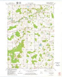 1978 Clarks Mills1979 Print · USGSManitowoc County's rural townships are captured here in the late seventies, showing a landscape defined by the winding river and the Soo Line rail. Genealogists can locate family landmarks like St Mary Cem, the Gjerpen Cem, and the old St Johns Sch.
 - 1978 Map of Two Rivers, 1979 Print
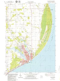 1978 Two Rivers1979 Print · USGSWisconsin's lakeside industry and rural heritage meet in the late seventies as the Twin Rivers join at the Lake Michigan shore. Genealogists and local historians can trace family-named sites like the Englebert Farms Landing Strip and several burial grounds, including Saxonburg Cem and Holy Cross Cem.
 - 1978 Map of Mishicot, 1979 Print
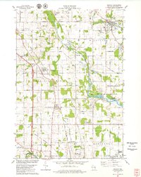 1978 Mishicot1979 Print · USGSManitowoc County in the late seventies is characterized by the intersection of the Twin Rivers and a landscape of busy gravel quarries. Researchers can trace family history at the Francis Creek National Cem or follow the C & NW RR through Francis Creek.
 - 1984 Map of Manitowoc, 1985 Print
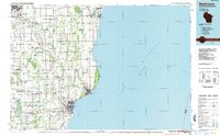 1984 Manitowoc1985 Print · USGSThe Lake Michigan shoreline of eastern Wisconsin is captured here in the mid-eighties, showing the bustling ports and rail-fed industry of the era. Genealogists and researchers can trace family-named sites near Stangelville, find the Francis Creek National Cem, or locate the U S Coast Guard Station.2 unique versions available
 - 2010 Map of Clarks Mills, 2010 Print
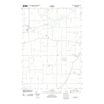 2010 Clarks Mills2010 Print · USGSManitowoc County at the start of the 21st century remains a landscape of historic cemeteries and river-fed settlements. Genealogists can trace family roots at Gjerpen Cemetery and Saint Mary Cemetery, or explore the old waterworks at Oslo Dam and Clarks Mill Dam.
 - 2010 Map of Mishicot, 2010 Print
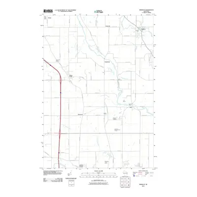 2010 Mishicot2010 Print · USGSManitowoc County at the start of the 2010s shows a landscape shaped by its river systems and small-town junctions. Genealogists and local historians can trace family roots through several sites including the Francis Creek National Cemetery and Melnik Presbyterian Cemetery.
 - 2010 Map of Two Rivers, 2010 Print
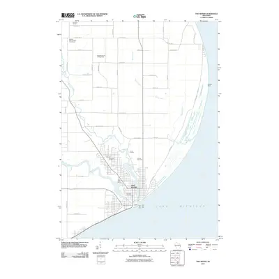 2010 Two Rivers2010 Print · USGSTwo Rivers and the Wisconsin shoreline come to life in this survey from the early 2000s. Genealogists and local historians can trace burial sites like Tannery Cemetery or locate the historic North Pier Light at the harbor entrance.
 - 2010 Map of Manitowoc, 2010 Print
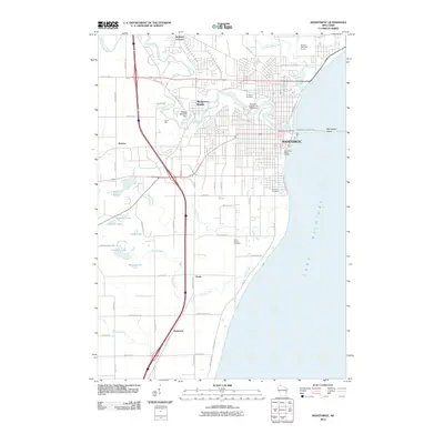 2010 Manitowoc2010 Print · USGSThe Lake Michigan shoreline and the winding Manitowoc River define this Wisconsin landscape during the early 21st century. Genealogists and researchers can trace local landmarks from Evergreen Cemetery to outlying settlements like Alverno and Duveneck.
 - 2010 Map of Two Rivers OE S, 2010 Print
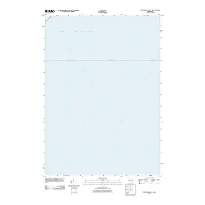 2010 Two Rivers OE S2010 Print · USGSThe open waters of the Great Lakes take center stage in this early twenty-first century maritime survey. Genealogists and maritime historians can trace the Manitowoc-Ludington line across the expanse of Lake Michigan.
 - 2013 Map of Mishicot, 2013 Print
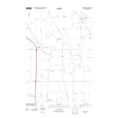 2013 Mishicot2013 Print · USGSManitowoc County rural life is centered on the twin river valleys in the early 21st century. Researchers can trace family dairy lands and small settlements like Mishicot, Kellners Corners, and Shoto, alongside unique sites like the Sandy Bay Mink Ranch.
 - 2013 Map of Two Rivers OE S, 2013 Print
 2013 Two Rivers OE S2013 Print · USGSManitowoc County's shoreline and the vast expanse of the Great Lakes are recorded in this coastal survey from the early 2010s. Researchers and local historians can trace the path of Memorial Dr as it meets the edge of Lake Michigan.
 - 2013 Map of Clarks Mills, 2013 Print
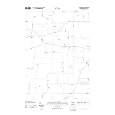 2013 Clarks Mills2013 Print · USGSAgricultural life in Manitowoc County remained centered on dairy production and family-held lands into the early twenty-first century. Genealogists and local historians can trace specific properties like Vogel Family Farms and the hamlets of Madsen and Newtonburg.
 - 2013 Map of Manitowoc, 2013 Print
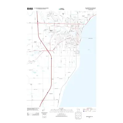 2013 Manitowoc2013 Print · USGSManitowoc and its surrounding farmsteads are documented here in the early twenty-first century as the city meets the Lake Michigan shore. Researchers can trace the layout of outlying settlements like Manitowoc Rapids and Clover or locate family-named landmarks such as Fessler Poultry Farms.
 - 2013 Map of Two Rivers, 2013 Print
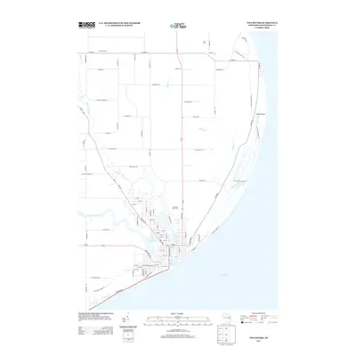 2013 Two Rivers2013 Print · USGSTwo Rivers at the start of the 2010s shows a vibrant coastal community shaped by its twin rivers and Lake Michigan shoreline. Researchers can trace the path of the Ice Age Natl Scenic Trl past Rawley Point or locate local landmarks like Seagull Marina.
 - 2015 Map of Two Rivers, 2015 Print
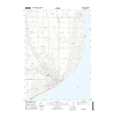 2015 Two Rivers2015 Print · USGSTwo Rivers and the surrounding Manitowoc County countryside are captured here during the mid-2010s, showing the town's position where the twin rivers meet the lake. Genealogists and local historians can trace family sites at Saxonburg Cem, Tannery Cem, and follow the Ice Age National Scenic Trail along the shore.
 - 2015 Map of Clarks Mills, 2015 Print
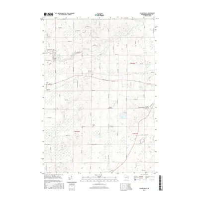 2015 Clarks Mills2015 Print · USGSManitowoc County's rural heartland is documented here in the mid-2010s, showing a landscape shaped by glacial lakes and small farming hamlets. Genealogists can locate family-named sites and landmarks like Gjerpen Cem, Schisel Lake, and the community of Clarks Mills along the river.
 - 2015 Map of Two Rivers OE S, 2015 Print
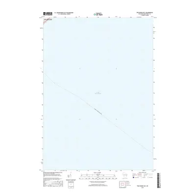 2015 Two Rivers OE S2015 Print · USGSOff the coast of Manitowoc County in the mid-2010s, this map captures the open waters of Lake Michigan south of the city. Maritime historians and locals can trace the designated route of the SS Badger (Ludington-Manitowoc) ferry near the shores of Two Rivers.
 - 2015 Map of Mishicot, 2015 Print
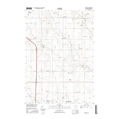 2015 Mishicot2015 Print · USGSNorthern Manitowoc County is captured here in the mid-2010s, showing a landscape defined by the Twin Rivers and historic rural crossroads. Genealogists can locate several major burial sites, including Francis Creek National Cemetery and Knollwood Memorial Gardens Cemetery.
 - 2015 Map of Manitowoc, 2015 Print
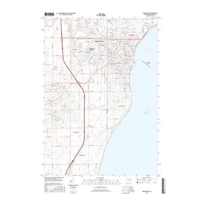 2015 Manitowoc2015 Print · USGSManitowoc and its surrounding townships are shown here as they appeared in the mid-2010s, where the river meets the vast Lake Michigan shoreline. Genealogists and local historians can trace the areas around Manitowoc Rapids, locate Saint Peters Cem, or follow the Ice Age National Scenic Trail.
 - 2018 Map of Mishicot, 2018 Print
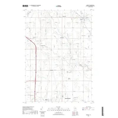 2018 Mishicot2018 Print · USGSManitowoc County's rural landscape is captured here in the late 2010s as the Twin Rivers wind toward the lakeshore. Researchers can trace family history at the Francis Creek National Cem or locate old settlements like Fisherville and Shoto.
Showing maps 1-25 of 34
Top cities near Manitowoc
- Two Rivers historical maps
- Newton historical maps
- Morrison historical maps
- Meeme historical maps
- Mishicot historical maps
- Cleveland historical maps
See more
Top neighborhoods of Manitowoc
Frequently asked questions
- What are the different types of historical maps available for Manitowoc?
- What is the oldest map of Manitowoc?
- Where can I purchase historical maps of Manitowoc for my home or office?
- Where can I download high-res historical maps of Manitowoc?
- Are there historical topographic maps available for Manitowoc?
- Is there historical aerial imagery available for Manitowoc?
- Where are historical maps of Manitowoc sourced from?