2000s (21st Century) Maps of Manitowoc, Wisconsin
Explore 25 historic maps of Manitowoc from the 2000s (21st Century). These maps offer a rare glimpse into what life looked like during the 2000s — showing old roads, neighborhoods, homes, and landmarks that have changed or disappeared over time.
Whether you're researching your family's past, planning a metal detecting trip, or studying how Manitowoc's landscape evolved across the 2000s, these high-resolution maps are a powerful tool for exploring the history of this region.
- Focus on a specific era: All maps on this page are from the 2000s, giving you a focused view of this time period.
- See what’s changed: Compare century-old streets, trails, and buildings to today's modern landscape using overlays and satellite layers.
- Research with precision: Use these maps for genealogy, historical research, land use analysis, or educational projects.
- View, download, or print: Maps are fully viewable online in high resolution, and can be downloaded or printed for your own records.
Start exploring Manitowoc's history through authentic maps from the 2000s. This is your window into the past.
Manitowoc, WI maps
(25)- 2010 Map of Clarks Mills, 2010 Print
 2010 Clarks Mills2010 Print · USGSCovers Manitowoc, including Newton, Valders, and other nearby areas
 - 2010 Map of Mishicot, 2010 Print
 2010 Mishicot2010 Print · USGSCovers Manitowoc, including Two Rivers, Mishicot, and other nearby areas
 - 2010 Map of Two Rivers, 2010 Print
 2010 Two Rivers2010 Print · USGSCovers Manitowoc, including Two Rivers, Mishicot, and other nearby areas
 - 2010 Map of Manitowoc, 2010 Print
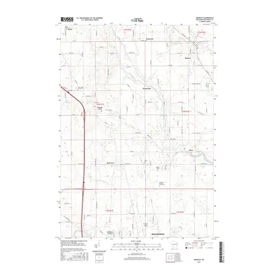
 2010 Manitowoc2010 Print · USGSCovers Manitowoc, including Newton, Duveneck, and other nearby areas
 - 2010 Map of Two Rivers OE S, 2010 Print
 2010 Two Rivers OE S2010 Print · USGSCovers Manitowoc, including Two Rivers, Manitowoc County, and other nearby areas
 - 2013 Map of Mishicot, 2013 Print
 2013 Mishicot2013 Print · USGSCovers Manitowoc, including Two Rivers, Mishicot, and other nearby areas
 - 2013 Map of Two Rivers OE S, 2013 Print
 2013 Two Rivers OE S2013 Print · USGSCovers Manitowoc, including Two Rivers, Manitowoc County, and other nearby areas
 - 2013 Map of Clarks Mills, 2013 Print
 2013 Clarks Mills2013 Print · USGSCovers Manitowoc, including Newton, Valders, and other nearby areas
 - 2013 Map of Manitowoc, 2013 Print
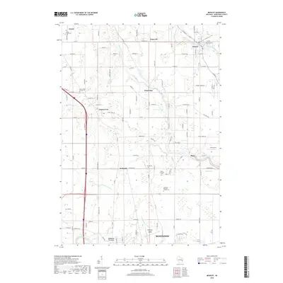
 2013 Manitowoc2013 Print · USGSCovers Manitowoc, including Newton, Duveneck, and other nearby areas
 - 2013 Map of Two Rivers, 2013 Print
 2013 Two Rivers2013 Print · USGSCovers Manitowoc, including Two Rivers, Mishicot, and other nearby areas
 - 2015 Map of Two Rivers, 2015 Print
 2015 Two Rivers2015 Print · USGSCovers Manitowoc, including Two Rivers, Mishicot, and other nearby areas
 - 2015 Map of Clarks Mills, 2015 Print
 2015 Clarks Mills2015 Print · USGSCovers Manitowoc, including Newton, Valders, and other nearby areas
 - 2015 Map of Two Rivers OE S, 2015 Print
 2015 Two Rivers OE S2015 Print · USGSCovers Manitowoc, including Two Rivers, Manitowoc County, and other nearby areas
 - 2015 Map of Mishicot, 2015 Print
 2015 Mishicot2015 Print · USGSCovers Manitowoc, including Two Rivers, Mishicot, and other nearby areas
 - 2015 Map of Manitowoc, 2015 Print
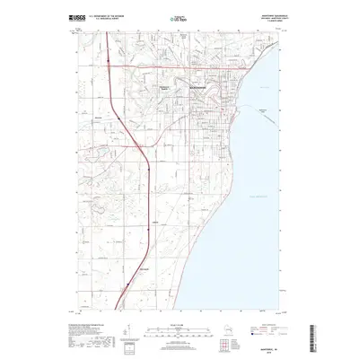
 2015 Manitowoc2015 Print · USGSCovers Manitowoc, including Newton, Duveneck, and other nearby areas
 - 2018 Map of Mishicot, 2018 Print
 2018 Mishicot2018 Print · USGSCovers Manitowoc, including Two Rivers, Mishicot, and other nearby areas
 - 2018 Map of Manitowoc, 2018 Print
 2018 Manitowoc2018 Print · USGSCovers Manitowoc, including Newton, Duveneck, and other nearby areas
 - 2018 Map of Two Rivers OE S, 2018 Print
 2018 Two Rivers OE S2018 Print · USGSCovers Manitowoc, including Two Rivers, Manitowoc County, and other nearby areas
 - 2018 Map of Two Rivers, 2018 Print
 2018 Two Rivers2018 Print · USGSCovers Manitowoc, including Two Rivers, Mishicot, and other nearby areas
 - 2018 Map of Clarks Mills, 2018 Print
 2018 Clarks Mills2018 Print · USGSCovers Manitowoc, including Newton, Valders, and other nearby areas
 - 2022 Map of Clarks Mills, 2022 Print
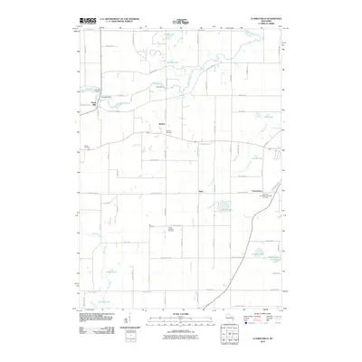
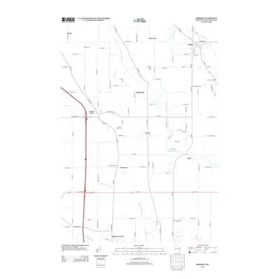
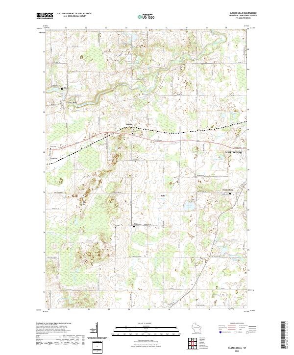 2022 Clarks Mills2022 Print · USGSManitowoc County's rural landscape is preserved here as it appeared in the early 2020s, centered on the winding Manitowoc River. Genealogists can precisely locate family heritage sites like Saint Mary Cem, Gjerpen Cem, and the community of Clarks Mills.
 - 2022 Map of Mishicot, 2022 Print
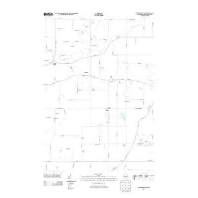
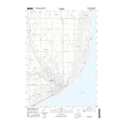
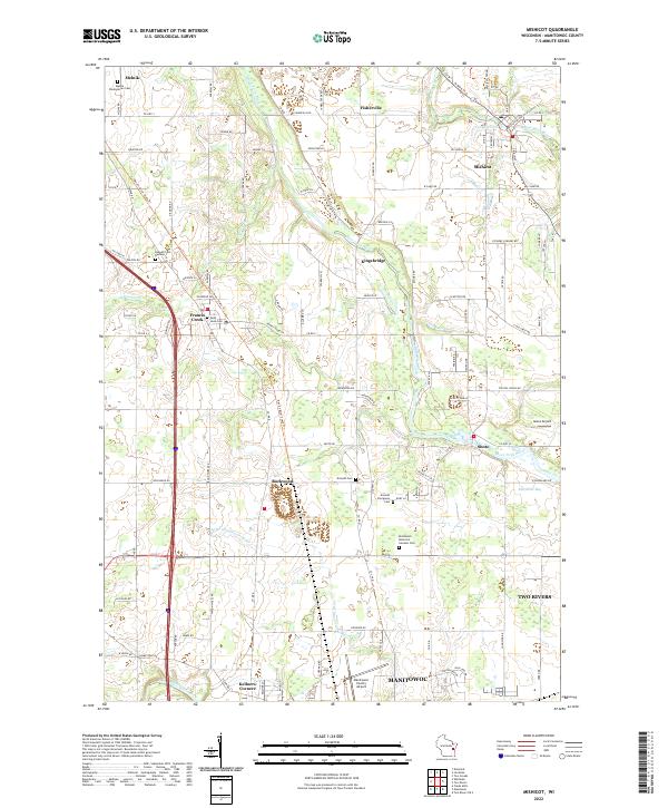 2022 Mishicot2022 Print · USGSManitowoc County's rural heartland is documented here in the early twenty-first century, centered on the historic village of Mishicot and its surrounding river valleys. Researchers can trace ancestral locations at Melnik Presbyterian Cem or follow the paths of the Devil's River State Trl and West Twin River.
 - 2022 Map of Two Rivers OE S, 2022 Print
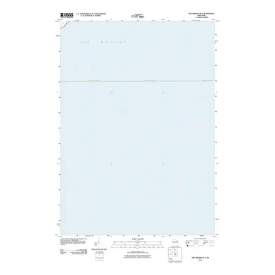
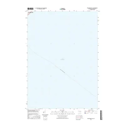
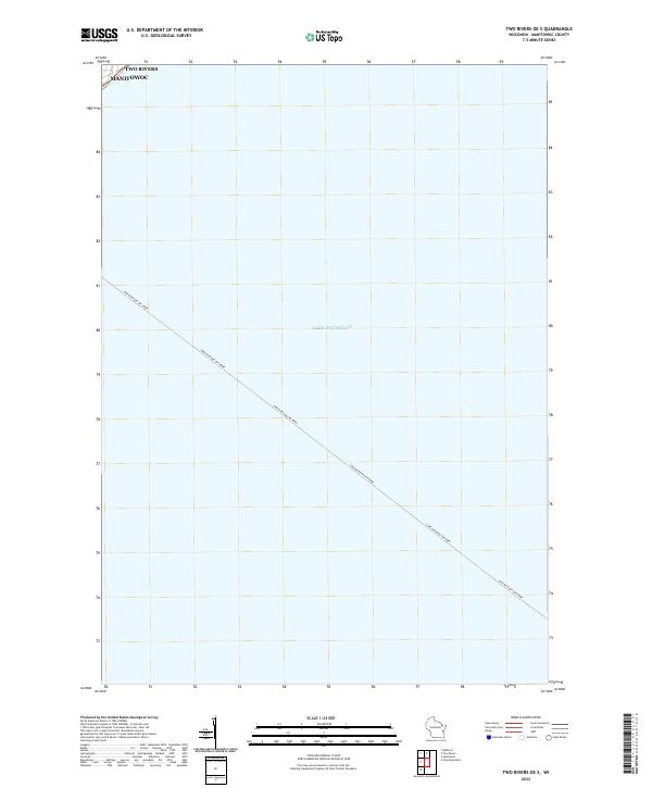 2022 Two Rivers OE S2022 Print · USGSThe Wisconsin shoreline of Lake Michigan comes into focus in this recent maritime survey. Researchers can trace the established path of the Lake Michigan Car Ferry as it departs from the coastal waters near Two Rivers and Manitowoc.
 - 2022 Map of Two Rivers, 2022 Print
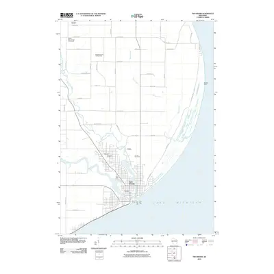
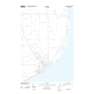
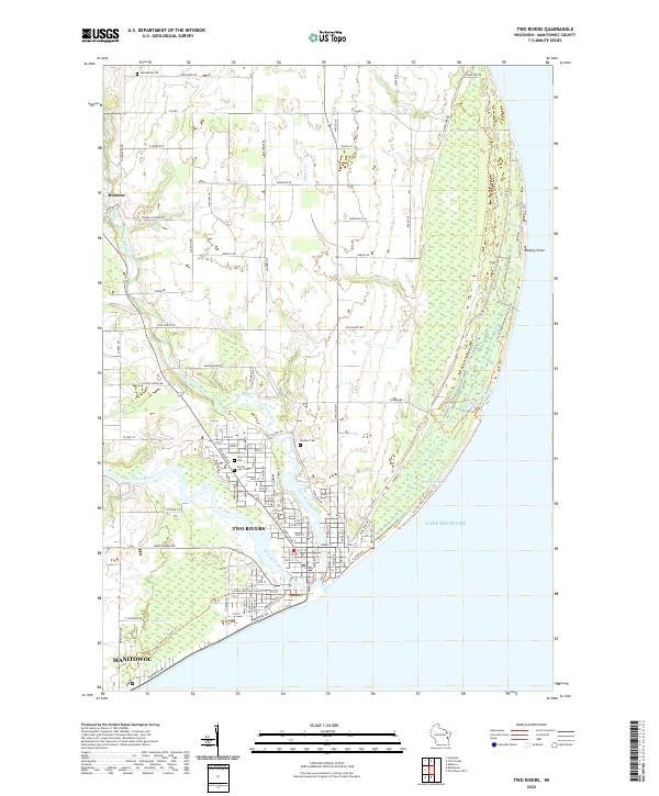 2022 Two Rivers2022 Print · USGSCoastal Wisconsin communities and the confluence of the Twin Rivers are captured here in the early twenty-first century. Researchers can trace the path of the Ice Age National Scenic Trl or locate local landmarks like Holy Cross Cem and Rawley Point.
 - 2022 Map of Manitowoc, 2022 Print
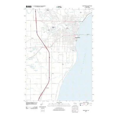
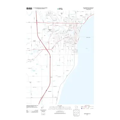
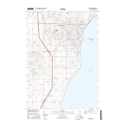
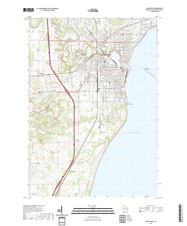 2022 Manitowoc2022 Print · USGSThe Lake Michigan shoreline at MANITOWOC reveals a well-developed port city and its surrounding rural hamlets during the early twenty-first century. Genealogists can locate several historic burial grounds like Evergreen Cem and Saint Peter Cem, while tracing the course of Silver Cr and the Manitowoc River.
End of results
Showing maps 1-25 of 25
Top cities near Manitowoc
- Two Rivers historical maps
- Newton historical maps
- Morrison historical maps
- Meeme historical maps
- Mishicot historical maps
- Cleveland historical maps
See more
Top neighborhoods of Manitowoc
Frequently asked questions
- What are the different types of historical maps available for Manitowoc?
- What is the oldest map of Manitowoc?
- Where can I purchase historical maps of Manitowoc for my home or office?
- Where can I download high-res historical maps of Manitowoc?
- Are there historical topographic maps available for Manitowoc?
- Is there historical aerial imagery available for Manitowoc?
- Where are historical maps of Manitowoc sourced from?